Trail Overview
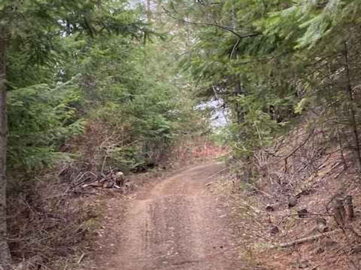
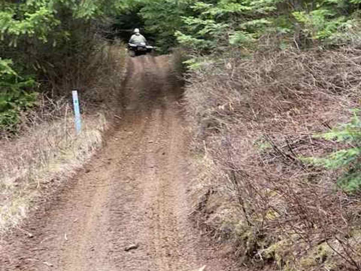
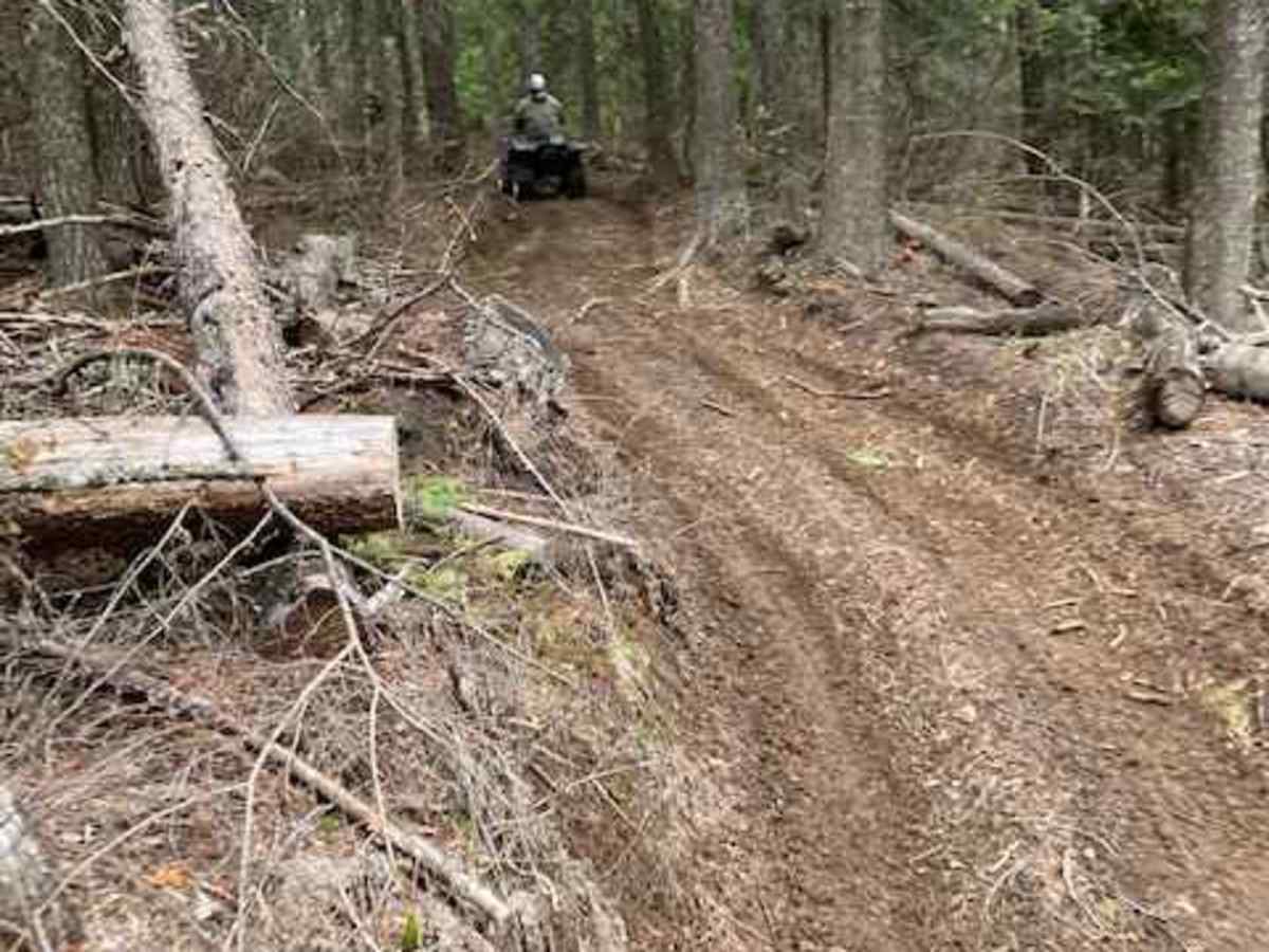
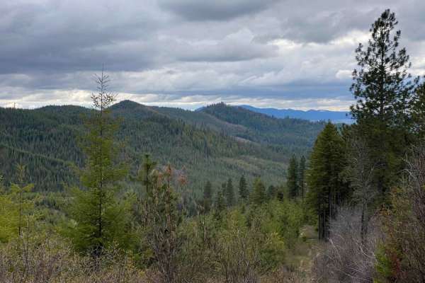
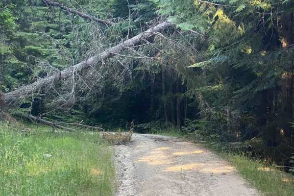
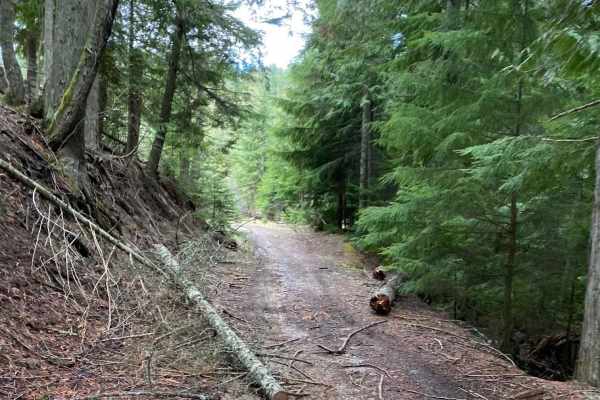
Kiawa Creek Trail offers a moderately challenging offroad adventure through North-Central Idaho's dense timberlands, making it an excellent choice for drivers of high-clearance four-wheel-drive vehicles and SxSs looking to experience rugged terrain with spectacular mountain views. Spanning approximately 5.7 miles, this route climbs steadily from an elevation of 2,863 feet up to a peak height of 5,036 feet near Sand Mountain, boasting a cumulative elevation gain of 2,772 feet. Drivers will navigate a predominantly dirt surface characterized by steep climbs, sharp switchback turns, and off-camber sections that require careful tire placement. Along the way, the path weaves through tight passages where fallen logs have been cleared, demanding high concentration and a vehicle capable of maneuvering through narrow clearances.
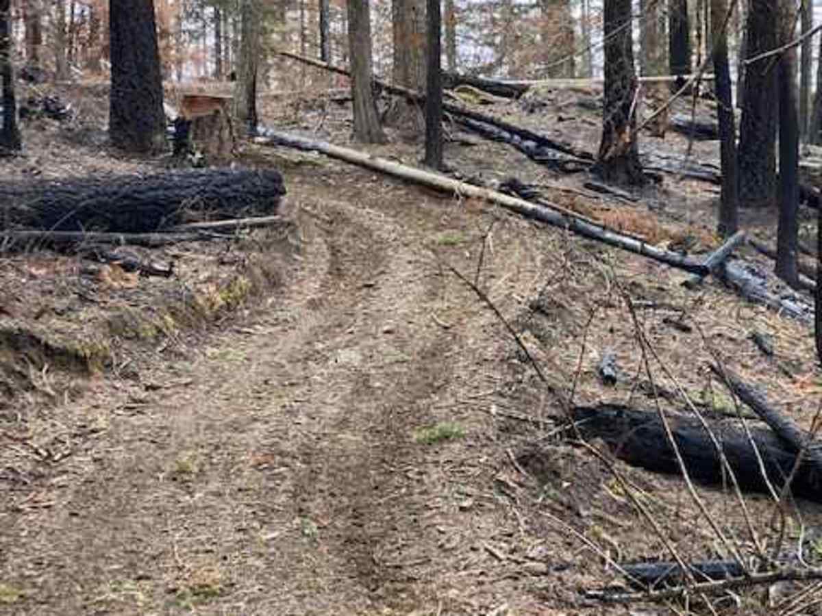
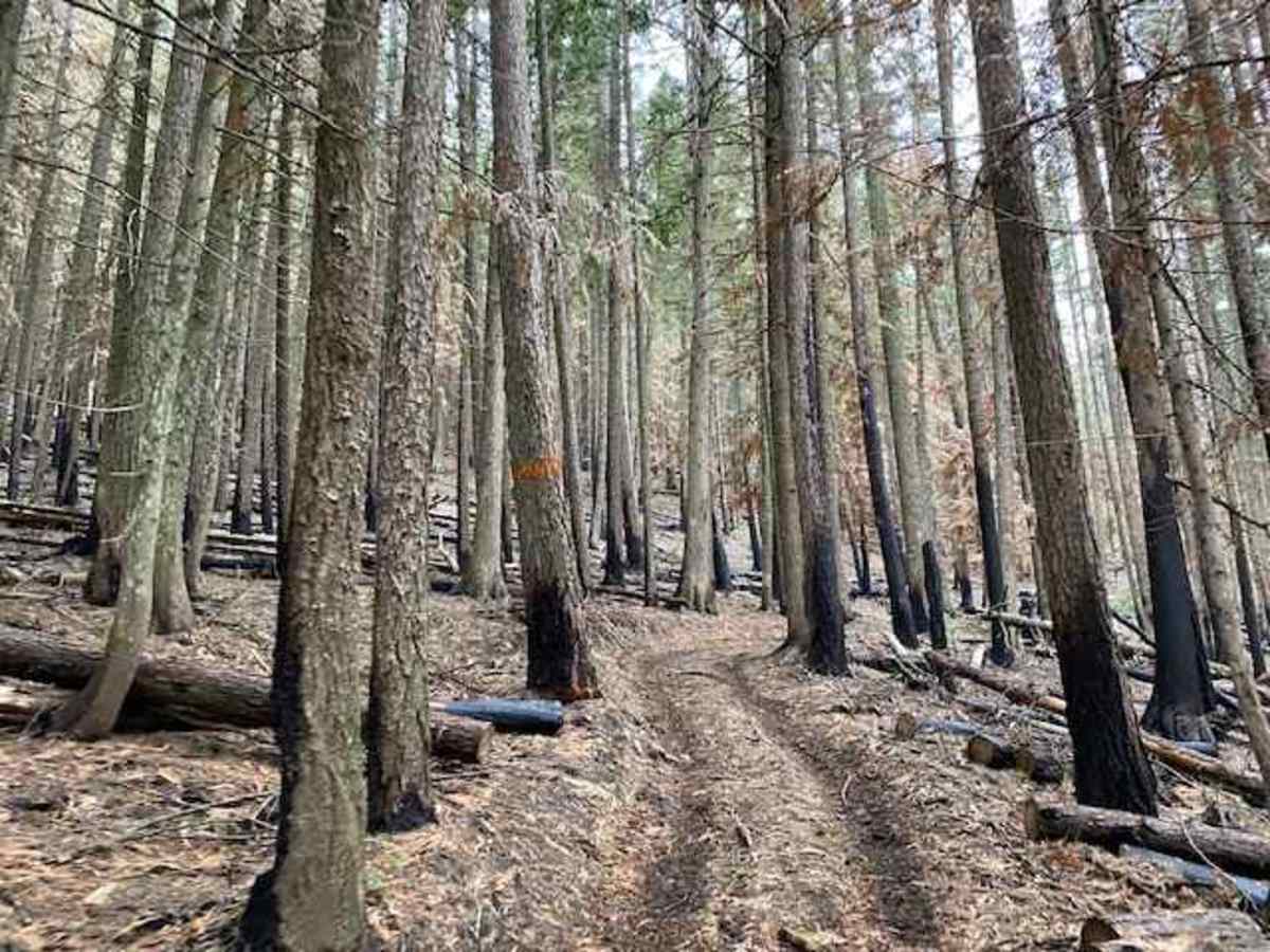
The trail carries a technical rating of 3 due to several specific obstacles, including areas prone to washout, deep mud or water crossings during wet seasons, and large rolling kelly-humps or tank traps built directly into the trailbed. Traversing the scenic ridge lines between Sand Mountain and Mica Mountain, the route cuts directly through a portion of the forest impacted by the 1,600-acre Sand Mountain Fire of Summer 2021. This section provides a stark but fascinating look at the wildfire's aftermath, where standing charred trees contrast against the recovering landscape and visible fire containment lines. Visitors should expect debris on the trail and prepare for changing weather conditions, making this an unforgettable day trip when combined with the surrounding network of forest service roads.
Difficulty
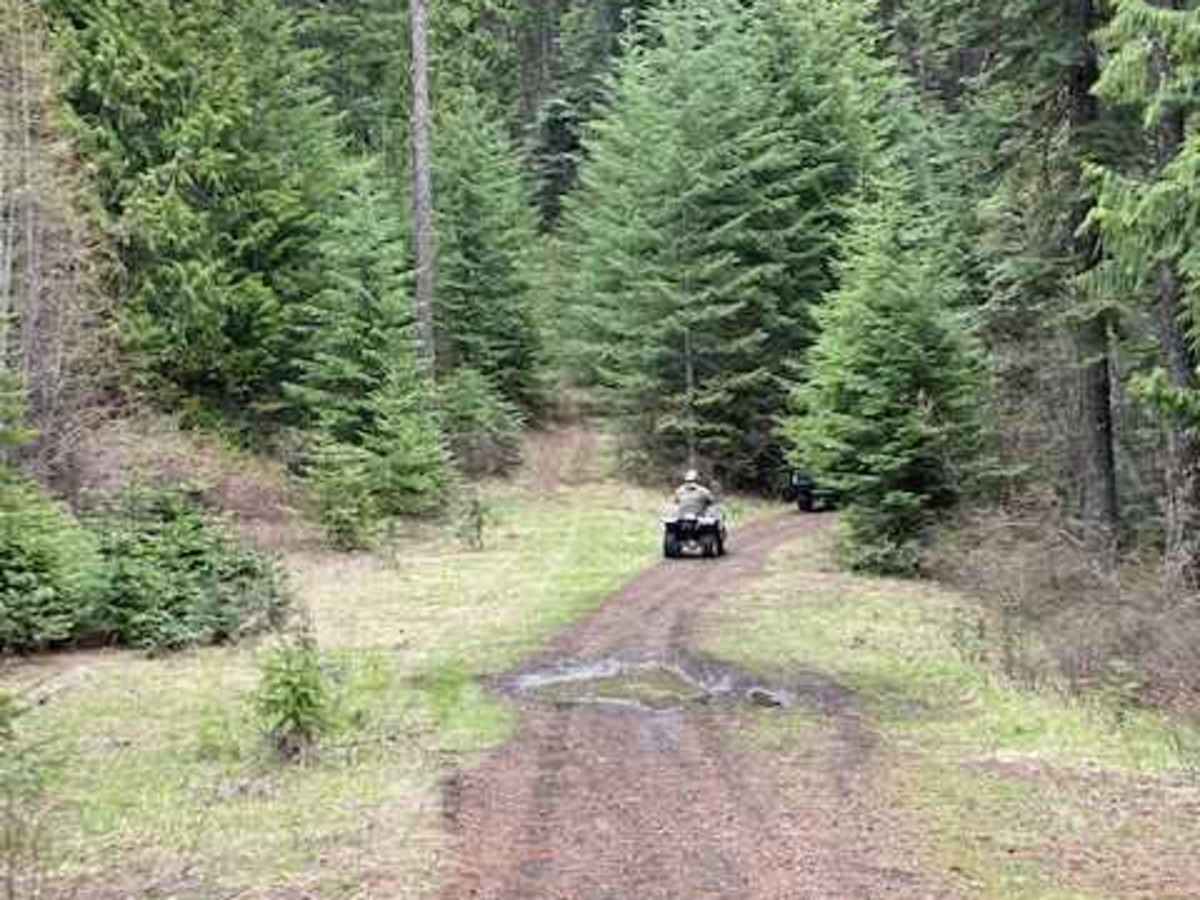
There are sections that have experienced some washout, large rolling kelly-humps/tank traps built into the trail, deeper mud/water crossings during wetter weather, and some banked/off camber areas.
History
This trail passes through a portion of the forest affected by the Sand Mountain Fire of Summer 2021, which burned over 1,600 acres of thick timber. Visitors can see the old fire containment lines built to control the blaze, surrounded by charred trees and minimal underbrush.

 Offroad