
Beginner Off-Road Trails
Near Thompson Falls, Montana
Explore All Beginner Trails Near Thompson Falls, Montana
Beginner Off-Road Trails Near Thompson Falls, Montana
Discover the best beginner-friendly off-road trails near you. These easier, lower-rated trails are a great place to start — browse trail maps, check difficulty ratings, and find your next adventure.
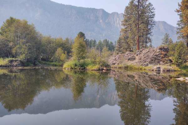
Clear Creek
This 5-mile portion of Clear Creek Trail takes you from Prospect Creek Road near Thompson Falls, MT, into the high country of the Lolo National Forest. If you follow Clear Creek beyond where our track ends, you can access Beaver Peak, Clear Peak, Emma Peak and Helwick Peak, all of which are between ...
Learn more about Clear Creek
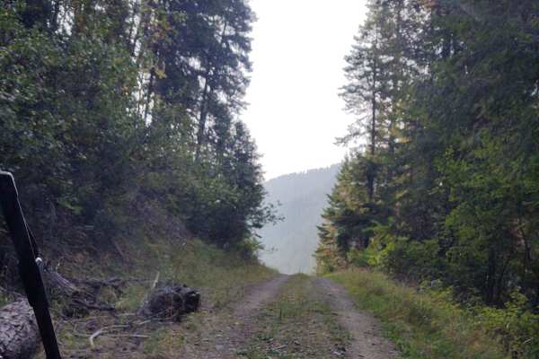
Flatiron Ridge
This 12-mile RT trail zigzags up Flatiron Ridge in the Lolo National Forest to an elevation of 4362 feet. There is room to let another vehicle pass on some of the corners. All private property crossings are allowed if you stay on the trail. The trails up the mountains are steep and twisting turns. B...
Learn more about Flatiron Ridge
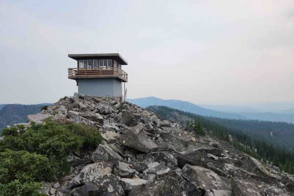
Eddy Peak Road
Eddy Peak Road is a moderately used out-and-back gravel route from Thompson Falls, Montana to the top of Eddy Peak. The route has sections that are narrow shelf roads with no passing room and up to six percent inclines of the roadbed. The road is in good condition, though inclement weather and snow ...
Learn more about Eddy Peak Road
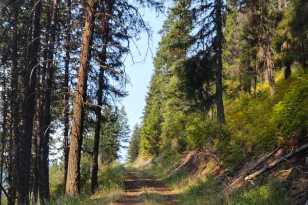
Denver Ridge
This 10-mile RT track goes from Clear Creek Trail up to just over 4000 feet in the Lolo National Forest. There is room to let another vehicle pass on some of the corners. All private property crossings are allowed if you stay on the trail. The trails up the mountains are steep and twisting turns. Be...
Learn more about Denver Ridge
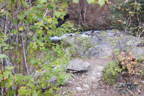
Graves Creek Falls/Vermilion
This 12-mile RT trail goes into the Lolo National Forest, rising from the valley floor at 2400 feet to over 4300 feet. A fire in the high country cut our trip short, so if there's no fire, you can explore for several more miles in this area, going even higher into the backcountry. Just three miles u...
Learn more about Graves Creek Falls/Vermilion
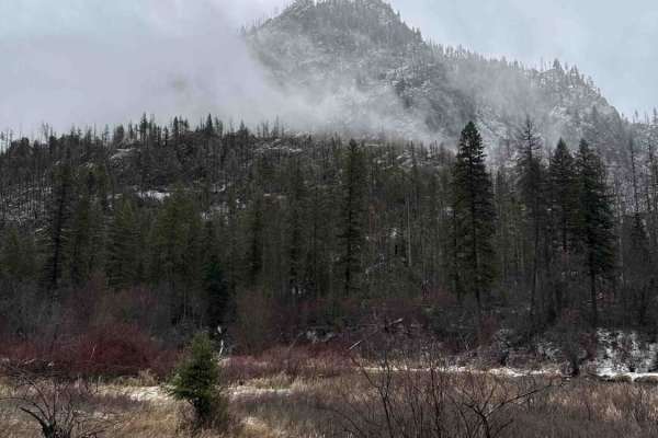
Thompson River Road
This 38-mile route (County Road 556) is a beautiful adventure through some remote and rugged terrain! It is perfect for those looking for a quiet escape into nature, with the Thompson River as a scenic companion along the way. The opportunity for fishing, particularly for brown trout, is a major bon...
Learn more about Thompson River Road
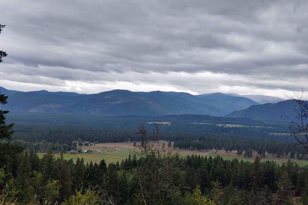
Cougar Peak
This trail zigzags from the valley floor at 2607 feet to over 6100 feet in the Lolo National Forest towards Cougar Peak. A fire in the area the day we rode stopped us from getting all the way up, but if you can go beyond our trail, it will take you right to Cougar Peak. All private property crossing...
Learn more about Cougar Peak
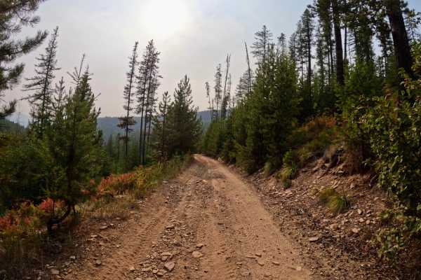
Thompson Falls and Rock Creek Trail - FS 352 / 378
This route begins at the 3-way intersection of Forest Service Roads 352, 378, and 419 from the Thompson Falls Trail. The route is two-lane for a short spell and turns into one lane of bony rock and gravel. The route is very rough in sections with ruts and steep drops close to the edge of the route. ...
Learn more about Thompson Falls and Rock Creek Trail - FS 352 / 378
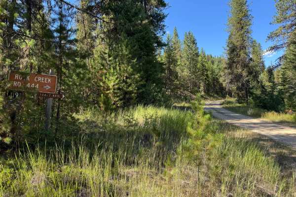
Rock Creek Road - FSR 444
This road can be accessed from Twelve Mile Road off of I90 near Henderson. With a few easy switch back's, and a good graded road, it is a nice easy cruise for any vehicle. During heavy rain or snowmelt, 2WD is not recommended due to potential slippery native dirt surfaces and deeper mud puddles. Thi...
Learn more about Rock Creek Road - FSR 444
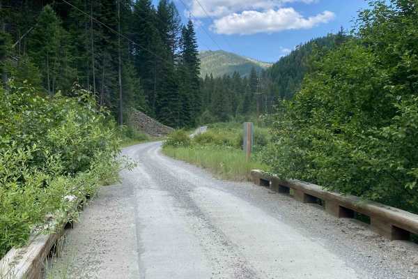
Cooper Pass Road to Burke Ghost Town
This is a fun and scenic route off of Thompson Pass Road in Montana that ends at Burke, Idaho, which is a very cool abandoned mining town with a lot of history. The road is narrow with quite a few switchbacks and great views. At the very top of the pass and at 5,811 feet, there is also a dirt bike l...
Learn more about Cooper Pass Road to Burke Ghost Town
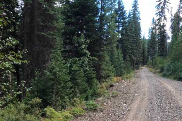
West Tower - FS 7759
This trail is mainly two vehicles wide, with plenty of room to get by other vehicles. The route is made up of very smooth gravel with its share of sharp corners and many gradual turns. Some steep embankments will be encountered in sections of the route. The route basically follows the high-tension l...
Learn more about West Tower - FS 7759
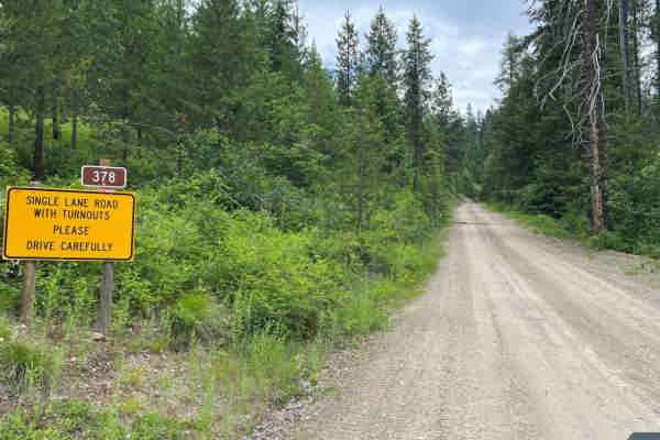
Rock Creek Trail - 4W-378
Rock Creek Trail (4W-378) travels north outside of De Borgia approximately 6 miles before reaching the 42-378/FSR-378/FSR-444 intersect. Before entering the trail, a paved section of road winds through rural development. The start of the trail is where pavement ends and dirt begins, with a large yel...
Learn more about Rock Creek Trail - 4W-378
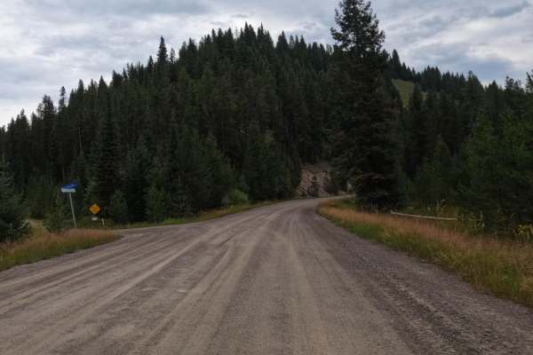
$50,000 Silver Dollar Inn - FSR 288
This trail starts just to the North of the Old Montana Club on Timber Creek Road. The route is very wide and made up of gravel and some small areas of pavement. Gentle curves and some beautiful ranches line the route. The route could be dusty in dry conditions. Cell service is available on the route...
Learn more about $50,000 Silver Dollar Inn - FSR 288
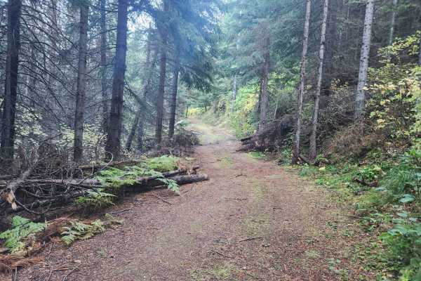
Cromie Creek
Cromie Creek is USFS road #3818 in the Bitterroot Mountains of western Montana, close to the Idaho border. This infrequently used route leads to the terminating junction near the base of the Up Up fire lookout tower. The primary route, via Canyon Creek, also terminates at this junction, though the g...
Learn more about Cromie Creek
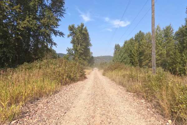
Saltese - St. Paul Pass
The route begins on the Haugan/Randolph Creek Loop Rd from Saltese. The route parallels both the St. Regis River and Old Milwaukee Grade. The route is two lanes and made up of a smooth gravel base with gentle curves and open areas to view. The route can be very dusty in dry conditions, but great to ...
Learn more about Saltese - St. Paul Pass
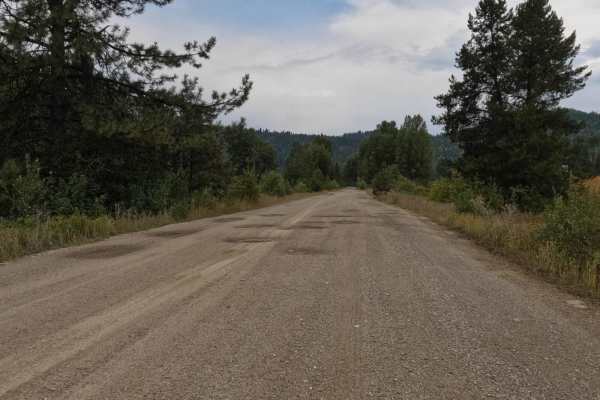
Old Milwaukee Grade- FS 300-1
The route begins at the parking area just off I-90 or the parking area of the famous Hideout Bar and Restaurant in DeBorgia. The route is made up of mostly gravel with plenty of room for two vehicles to pass. Some rock slides dot the route. Gentle curves and quite a few potholes make up parts of the...
Learn more about Old Milwaukee Grade- FS 300-1
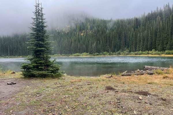
Silver Creek to Silver Lake
This trail is just outside Saltese, Montana. It starts as a pretty mild road going under an old train trestle bridge with a long uphill pull for about 4 miles. The last half mile is a nice gradual downhill into the lake. The road has some slight washouts going down the tracks from recent rainfall. I...
Learn more about Silver Creek to Silver Lake
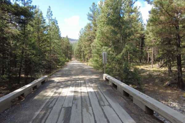
West Fork of Swamp Creek
West Fork of Swamp Creek- FS 217 is a lightly traveled gravel road through Lolo National Forest west of Plains, Montana. Lower sections of the road have many ATV and motorcycle pathways from the main road. Be aware of private or prohibited activities and do not trespass. The road has received little...
Learn more about West Fork of Swamp Creek
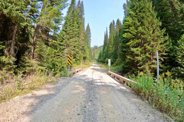
Cabin City
The route is mainly two-lane, made up of dirt and gravel. Long straight aways and sharp corners make up the route. There are spots with deep drops right next to the side of the route. The route runs next to Twelve Mile Creek with several narrow bridges running over the creek. No cell service was fou...
Learn more about Cabin City
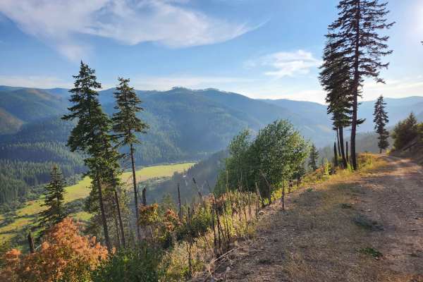
Sex Ridge Road
Sex Ridge Road (FS 2222) is an infrequently used narrow road from the top of Sex Peak reaching down to White Pine, Montana. The lookout can be reserved on Recreation.gov and offers stellar views of the Cabinet Mountains to the east. The road is rough, and some sections are susceptible to washouts. T...
Learn more about Sex Ridge Road
Beginner ATV trails near Thompson Falls, Montana
Explore ATV-friendly trails near you. These trails are accessible for vehicles up to 50 inches wide, perfect for ATVs and smaller off-road machines.
Clear Creek
This 5-mile portion of Clear Creek Trail takes you from Prospect Creek Road near Thompson Falls, MT, into the high country of the Lolo National Forest. If you follow Clear Creek beyond where our track ends, you can access Beaver Peak, Clear Peak, Emma Peak and Helwick Peak, all of which are between ...
Learn more about Clear Creek
Flatiron Ridge
This 12-mile RT trail zigzags up Flatiron Ridge in the Lolo National Forest to an elevation of 4362 feet. There is room to let another vehicle pass on some of the corners. All private property crossings are allowed if you stay on the trail. The trails up the mountains are steep and twisting turns. B...
Learn more about Flatiron Ridge
Eddy Peak Road
Eddy Peak Road is a moderately used out-and-back gravel route from Thompson Falls, Montana to the top of Eddy Peak. The route has sections that are narrow shelf roads with no passing room and up to six percent inclines of the roadbed. The road is in good condition, though inclement weather and snow ...
Learn more about Eddy Peak Road
Denver Ridge
This 10-mile RT track goes from Clear Creek Trail up to just over 4000 feet in the Lolo National Forest. There is room to let another vehicle pass on some of the corners. All private property crossings are allowed if you stay on the trail. The trails up the mountains are steep and twisting turns. Be...
Learn more about Denver Ridge
Beginner UTV/side-by-side trails near Thompson Falls, Montana
Find UTV and side-by-side trails near you. These trails accommodate vehicles up to 60 inches wide, ideal for UTVs, side-by-sides, and wider off-road rigs.
Clear Creek
This 5-mile portion of Clear Creek Trail takes you from Prospect Creek Road near Thompson Falls, MT, into the high country of the Lolo National Forest. If you follow Clear Creek beyond where our track ends, you can access Beaver Peak, Clear Peak, Emma Peak and Helwick Peak, all of which are between ...
Learn more about Clear Creek
Flatiron Ridge
This 12-mile RT trail zigzags up Flatiron Ridge in the Lolo National Forest to an elevation of 4362 feet. There is room to let another vehicle pass on some of the corners. All private property crossings are allowed if you stay on the trail. The trails up the mountains are steep and twisting turns. B...
Learn more about Flatiron Ridge
Eddy Peak Road
Eddy Peak Road is a moderately used out-and-back gravel route from Thompson Falls, Montana to the top of Eddy Peak. The route has sections that are narrow shelf roads with no passing room and up to six percent inclines of the roadbed. The road is in good condition, though inclement weather and snow ...
Learn more about Eddy Peak Road
Denver Ridge
This 10-mile RT track goes from Clear Creek Trail up to just over 4000 feet in the Lolo National Forest. There is room to let another vehicle pass on some of the corners. All private property crossings are allowed if you stay on the trail. The trails up the mountains are steep and twisting turns. Be...
Learn more about Denver Ridge
The onX Offroad Difference
onX Offroad combines trail photos, descriptions, difficulty ratings, width restrictions, seasonality, and more in a user-friendly interface. Available on all devices, with offline access and full compatibility with CarPlay and Android Auto. Discover what you're missing today!
Open Trail Map