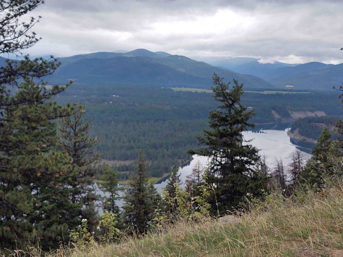
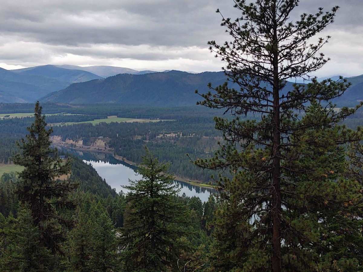
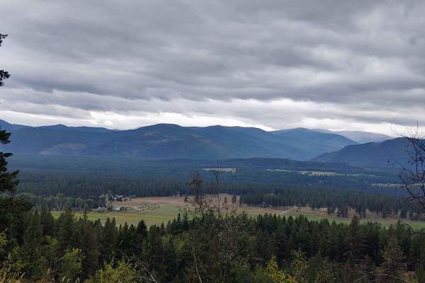
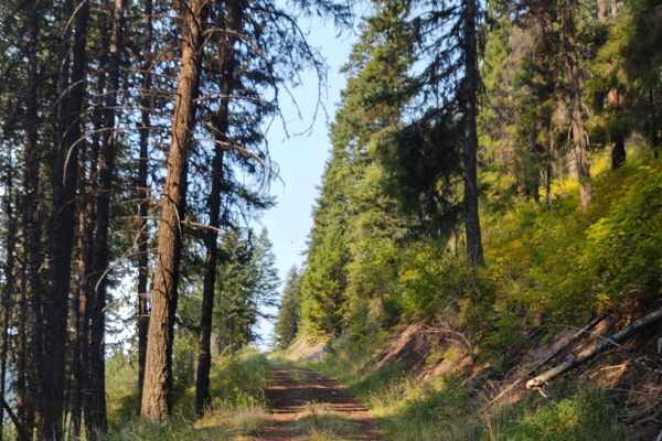
Trail Overview
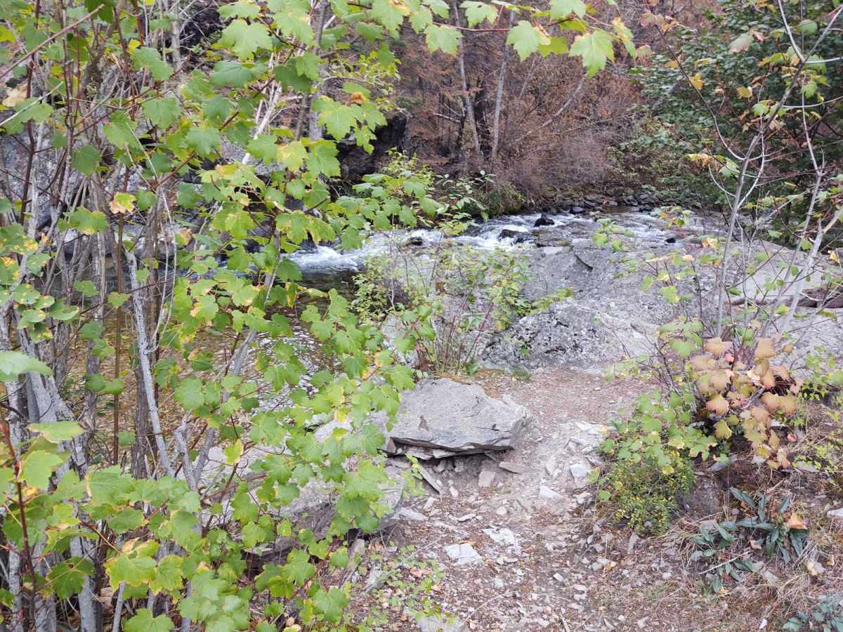
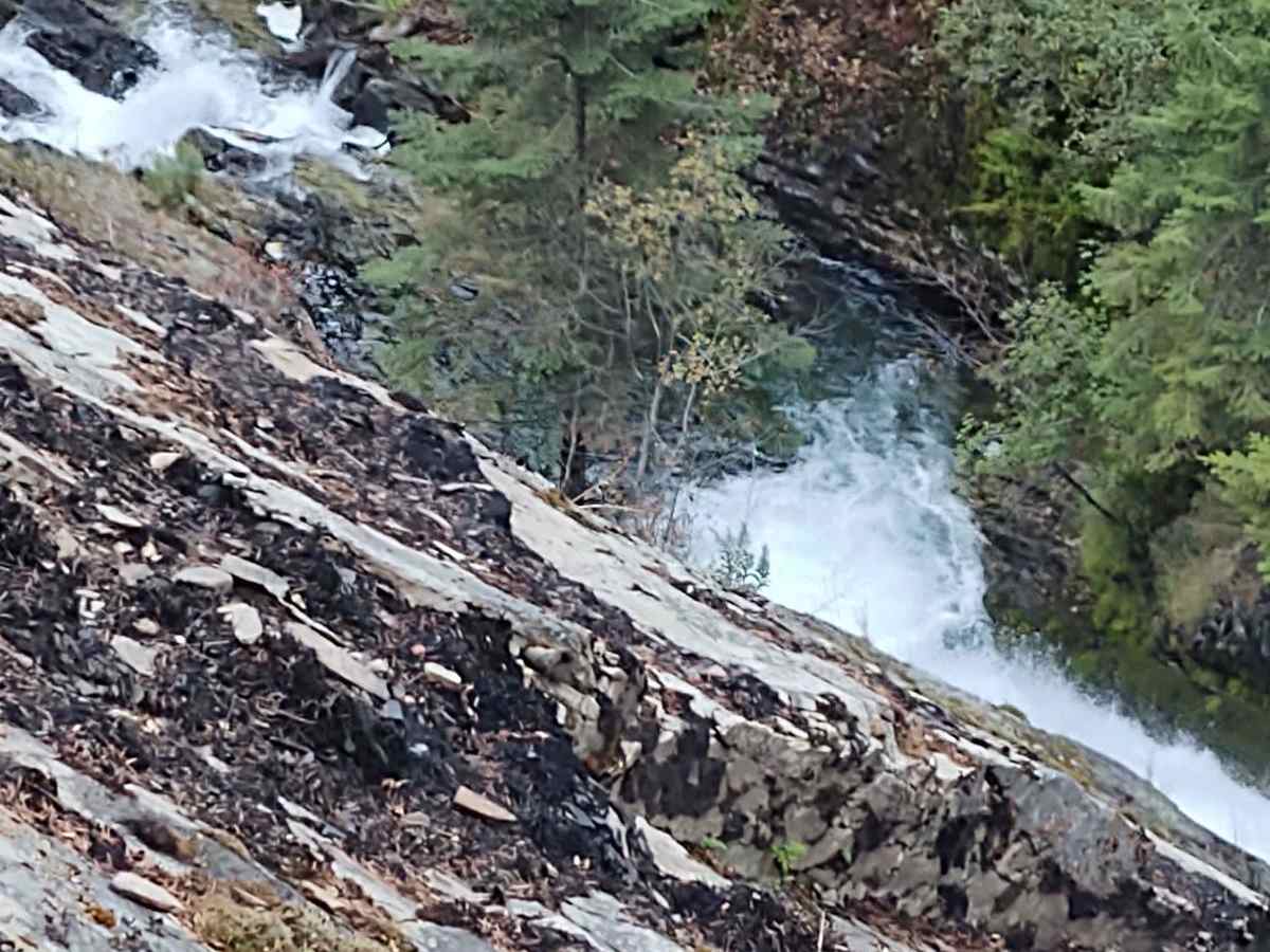
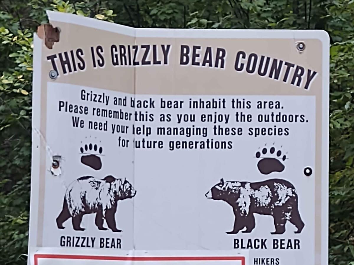
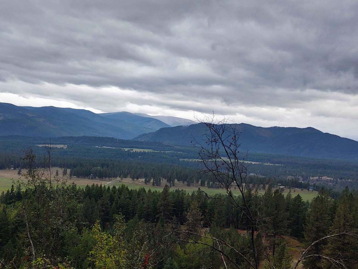
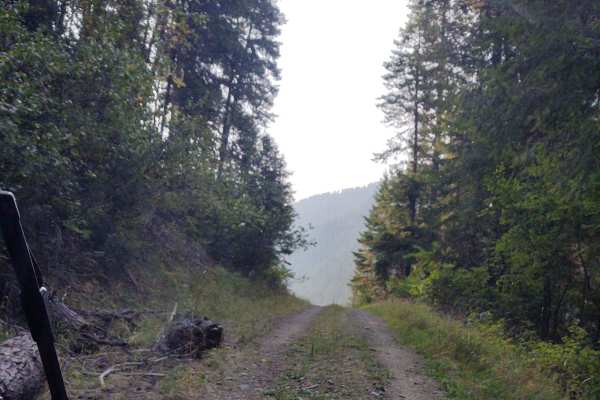
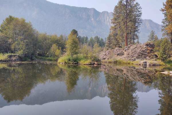
This 12-mile RT trail goes into the Lolo National Forest, rising from the valley floor at 2400 feet to over 4300 feet. A fire in the high country cut our trip short, so if there's no fire, you can explore for several more miles in this area, going even higher into the backcountry. Just three miles up from the start of our trail, you find the Graves Creek Falls. In September it was still running steadily. Unfortunately, the smoke in the air caused our photos do not adequately show the beauty of the falls. All private property crossings are allowed if you stay on the trail. The trails up the mountains in areas are steep and twisting turns. Beware of logging trucks in this area. The scenery is spectacular, the forest is healthy and well-maintained, and the wildlife includes wild turkeys, deer, elk, moose, and black and grizzly bears. You may encounter some downed timber in some places, so carrying a saw, a snatch block, as well as a tow rope and other recovery equipment, is a good idea. Take extra fuel, lots of water, and snacks. And we don't ever ride without at least one firearm.
Difficulty
This trail may be muddy in the early spring, or you may encounter snow, and it will be muddy after a heavy rain. Otherwise, it's an easy trail with beautiful scenery.