
Beginner Off-Road Trails
Near Sundown, Missouri
Explore All Beginner Trails Near Sundown, Missouri
Beginner Off-Road Trails Near Sundown, Missouri
Discover the best beginner-friendly off-road trails near you. These easier, lower-rated trails are a great place to start — browse trail maps, check difficulty ratings, and find your next adventure.
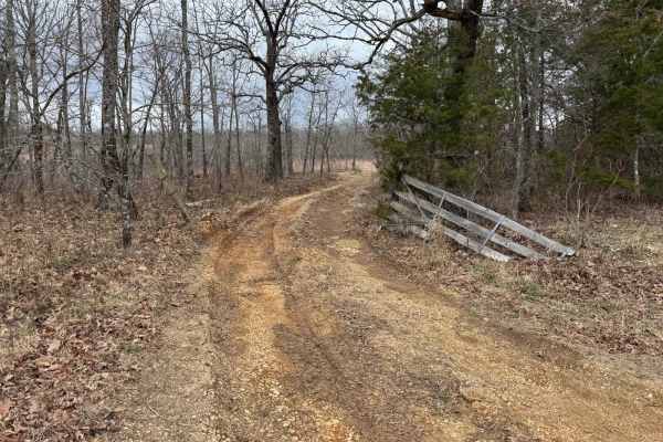
Bald Tower - FSR 148
Bald Tower - Forest Service Road (FSR) 148 is an out and back trail that leads you to an open area where you can see 2 radio towers. Due to the lack of travel in some spots the trail is hard to see, pay close attention to the tire tracks as best as you can. At the end you will have a scenic view of ...
Learn more about Bald Tower - FSR 148
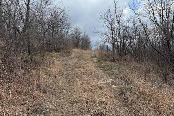
Washington Bald - FSR 148A
Washington Bald Forest Service Road (FSR) 148A is an offshoot trail from Bald Tower - FSR148. This trail will run you along a small rock shelf to an opening where you will have scenic views of the rolling hill and radio towers. There is a nice opening on the ridge where you can turn around.
Learn more about Washington Bald - FSR 148A
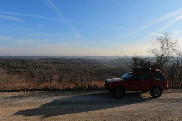
Glade Top South - FS 147
Glade Top South FS 147 is the southern 9-mile section of the maintained gravel forestry road from Longrun, Missouri, to the Pinnacle Mountain intersection. This is part of the official Glade Top National Scenic Byway within Mark Twain National Forest, Ava Unit. If desiring widespread views of natura...
Learn more about Glade Top South - FS 147
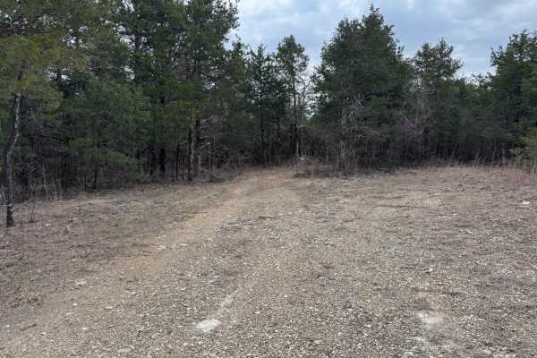
FSR 147A
Forest Service Road (FSR) 147A is an out and back trail that shoots off of Glade Top South - FS 147. You will be taken through the woods to a larger clearing so that you can turn around. As of 2024 MVUMs this is where the legal motorized use ends.
Learn more about FSR 147A
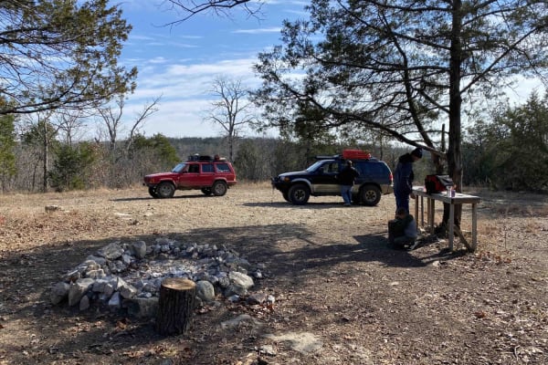
Roadkill Cafe - FS 504
Roadkill Cafe FS 504 (or Lower West Fork) is a natural forestry road branching off the Glade Top National Scenic Byway within Mark Twain National Forest, Ava Unit. It is a mild example of a Glade Top side trail, slowly going downhill from the ridgetop where it leaves the FS 507B down to the valley b...
Learn more about Roadkill Cafe - FS 504
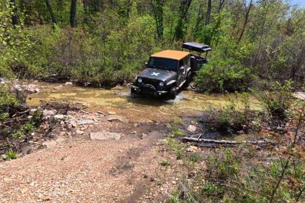
Racetrack Ridge
Racetrack Ridge (F.S. 167) is located in the Mark Twain National Forest. Located just a ways south of the Glade Top area. Primarily a rocky route with several water crossings, some mud holes, ledges, and elevation changes. Several areas are subject to further erosion as the creek and runoff run down...
Learn more about Racetrack Ridge
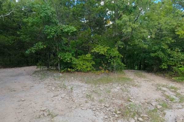
Pet Hollow - FS 507A
Pet Hollow FS 507A is a natural terrain forest service road within the Mark Twain National Forest Ava Unit, branching off the FS 507, as a part of the greater Glade Top National Forest Scenic Byway area. Pet Hollow FS 507A, leaves the Tennyson Hollow FS 507, heading east and slightly downhill toward...
Learn more about Pet Hollow - FS 507A
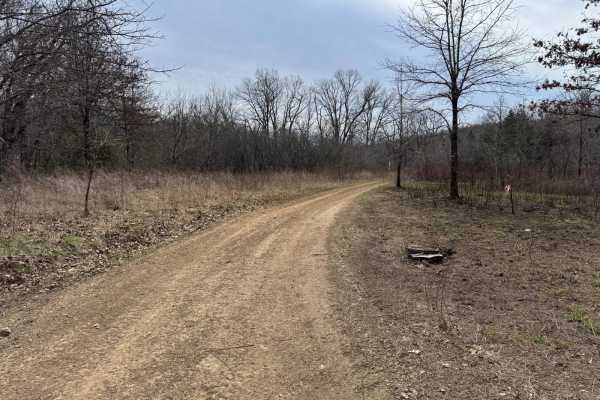
Gary Hollow - FSR 510A
Gary Hollow Forest Service Road (FSR) 510A is an off shoot trail of Short Hollow - FS 510. It offers a variety of terrain and obstacles, ranging from rocky sections, mud holes, and a water crossing. The most notable spot along this trail is the swimming hole that is located along the creek.
Learn more about Gary Hollow - FSR 510A
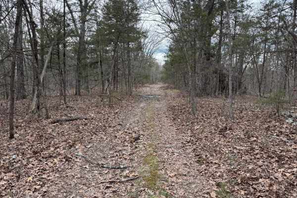
Fairview Church - FSR 170
Fairview Church Forest Service Road (FSR) 170 is a short 1-mile-long trail that ends just before you reach private property. The trail has been blocked with large trees in the area to prevent people from driving into the private property. You can travel southeast on the trail, but be cautious as the...
Learn more about Fairview Church - FSR 170
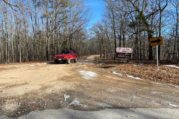
Glade Top Southwest - FS 149
Glade Top Southwest FS 149 is the southwest 5.8-mile section of the maintained gravel forestry road from Fairview, Missouri, to the Wolf Junction intersection. This is the southwest branch of the official Glade Top National Scenic Byway within Mark Twain National Forest, Ava Unit. If desiring widesp...
Learn more about Glade Top Southwest - FS 149
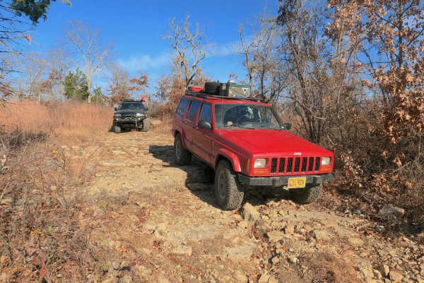
West Fork East - FS 509
West Fork East FS 509 is a natural terrain forestry road branching off the Glade Top National Scenic Byway within the Mark Twain National Forest Ava Unit. The trail traverses through scattered treelines and glade rock on the ridgetop above, to the legal ending point just uphill from the West Fork Cr...
Learn more about West Fork East - FS 509
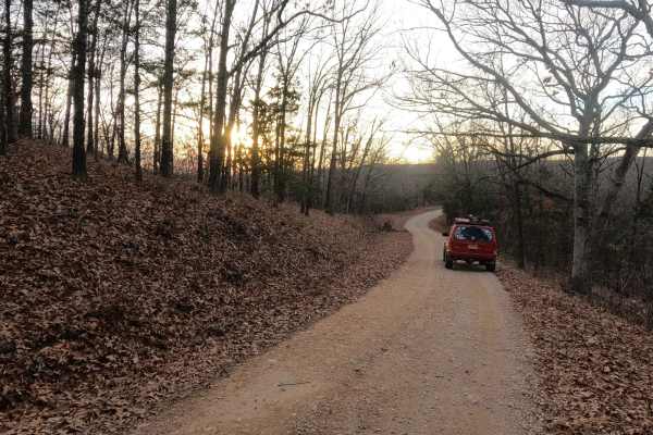
Skyline Drive - FS 150
Skyline Drive FS 150, also named McAdoo on some maps due to proximity to McAdoo Creek, is the 7.3-mile long forestry road (the far west portion being 1 mile paved and the eastern 6.3 miles being maintained gravel) from Hercules, MO to the Pinnacle Mountain intersection. This is a primary road within...
Learn more about Skyline Drive - FS 150
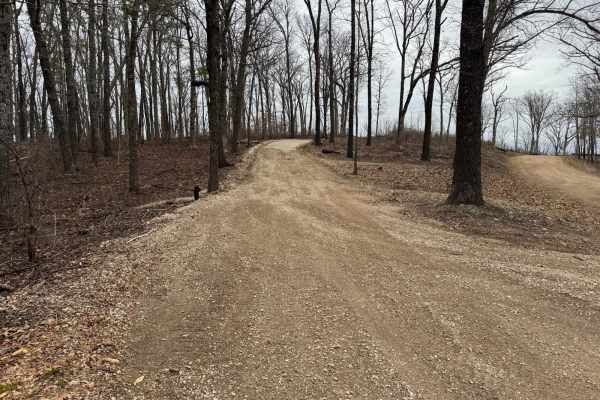
Wildcat Road
Wildcat Road is an out-and-back trail that at one point parallels private property. You will be greeted with scenic overlooks along the way from atop a ridge. At the end of this trail is Merriman Cemetery which is 2.5 miles down the trail. Once at the cemetery, there is an area where you can easily ...
Learn more about Wildcat Road
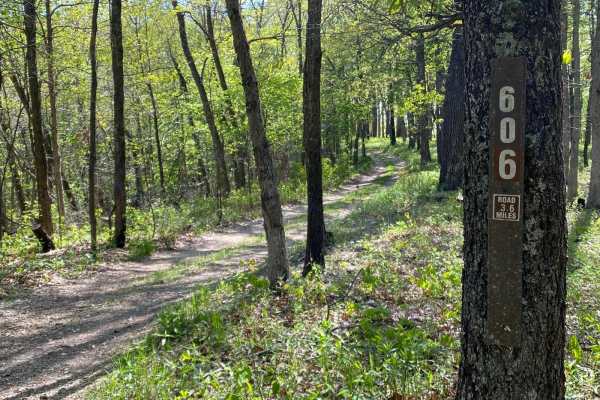
FSR606 Brushy Ridge
This is a short trail, but it will give you beautiful views of the Mark Twain National Forest. The trail runs through a mixture of woods and open areas along the ridge top, with a stream and field at the bottom. Most of the trail is rocky and has several tight spots so you are guaranteed to get some...
Learn more about FSR606 Brushy Ridge
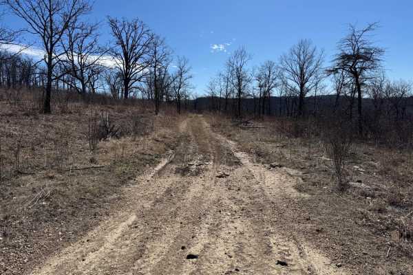
Brushy Ridge Spur B - FSR 606B
Brushy Ridge Spur B Forest Service Road (FSR) 606b is an off-shoot trail from Brushy Ridge - FSR 606. This is an out-and-back trail that offers some great views on the ridge at the beginning of the trail. The trail turns into non-motorized use at the end, hence why it is an out and back.
Learn more about Brushy Ridge Spur B - FSR 606B
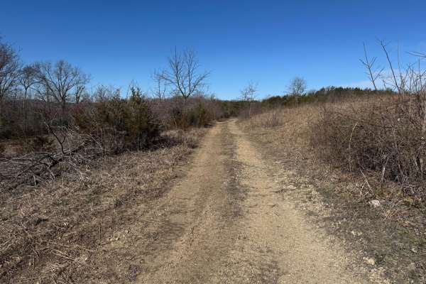
Brushy Ridge Spur D - FRS 606D
Brushy Ridge Spur D is a spur trail off of Brushy Ridge. This is an out-and-back trail, as this trail leads you to what is known as the Bateman Bottoms, where there is no motorized access. The grassy area is not accessible for motorized use. You will need to turn around where the track ends due to t...
Learn more about Brushy Ridge Spur D - FRS 606D
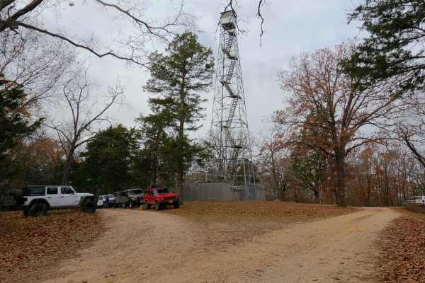
Hercules Tower - FS 154
Hercules Tower FS 154 is a gravel forest road within the Mark Twain National Forest Ava Unit, as part of the larger Glade Top National Scenic Byway area. Aside from being a repeater site and historical point of interest, the purpose of the Hercules Tower is to gather, stage, plan a rest or meal, and...
Learn more about Hercules Tower - FS 154
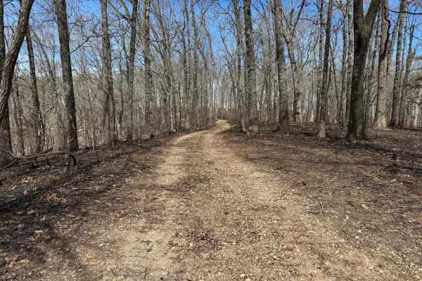
McAdoo Spur A - FSR 150
McAdoo Spur A is an out-and-back trail. As of the 2024 MVUM, the motorized use of this trail ends just after reaching the clearing on the ridge. Please be aware there are tire tracks that go beyond this point. Where this trail ends will give you great views of the rolling hills in the national fores...
Learn more about McAdoo Spur A - FSR 150
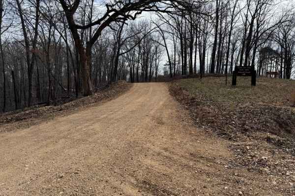
County Road 943
County Road 943 connects Glade Top North - FS 141 to County Road 924. This is a fairly maintained county road so there are no washouts or other potential obstacles to overcome. As you traverse along County Road 943 you will have great scenic views of the surrounding hills and other landscapes.
Learn more about County Road 943
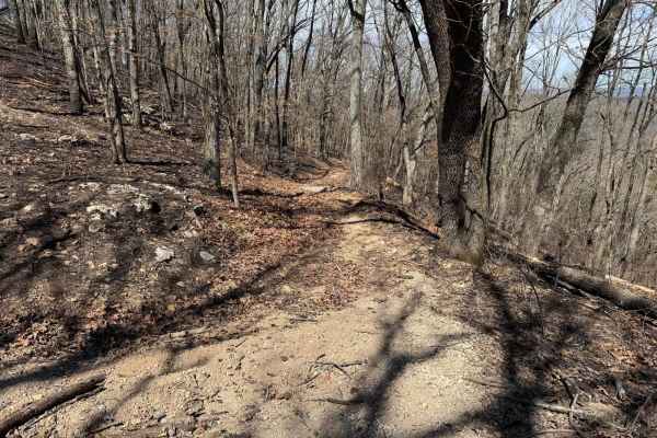
FSR 605
Forest Service Road (FRS) 605 is a spur trail off of Skyline Drive. This trail runs all the way until it connects with Mannon Road to the north. As of March 22nd, 2025, there is evidence of a controlled burn done along this area of the Mark Twain National Forest. Because of this, you can expect tree...
Learn more about FSR 605
Beginner ATV trails near Sundown, Missouri
Explore ATV-friendly trails near you. These trails are accessible for vehicles up to 50 inches wide, perfect for ATVs and smaller off-road machines.
Bald Tower - FSR 148
Bald Tower - Forest Service Road (FSR) 148 is an out and back trail that leads you to an open area where you can see 2 radio towers. Due to the lack of travel in some spots the trail is hard to see, pay close attention to the tire tracks as best as you can. At the end you will have a scenic view of ...
Learn more about Bald Tower - FSR 148
Washington Bald - FSR 148A
Washington Bald Forest Service Road (FSR) 148A is an offshoot trail from Bald Tower - FSR148. This trail will run you along a small rock shelf to an opening where you will have scenic views of the rolling hill and radio towers. There is a nice opening on the ridge where you can turn around.
Learn more about Washington Bald - FSR 148A
FSR 147A
Forest Service Road (FSR) 147A is an out and back trail that shoots off of Glade Top South - FS 147. You will be taken through the woods to a larger clearing so that you can turn around. As of 2024 MVUMs this is where the legal motorized use ends.
Learn more about FSR 147A
Pet Hollow - FS 507A
Pet Hollow FS 507A is a natural terrain forest service road within the Mark Twain National Forest Ava Unit, branching off the FS 507, as a part of the greater Glade Top National Forest Scenic Byway area. Pet Hollow FS 507A, leaves the Tennyson Hollow FS 507, heading east and slightly downhill toward...
Learn more about Pet Hollow - FS 507A
Beginner UTV/side-by-side trails near Sundown, Missouri
Find UTV and side-by-side trails near you. These trails accommodate vehicles up to 60 inches wide, ideal for UTVs, side-by-sides, and wider off-road rigs.
Bald Tower - FSR 148
Bald Tower - Forest Service Road (FSR) 148 is an out and back trail that leads you to an open area where you can see 2 radio towers. Due to the lack of travel in some spots the trail is hard to see, pay close attention to the tire tracks as best as you can. At the end you will have a scenic view of ...
Learn more about Bald Tower - FSR 148
Washington Bald - FSR 148A
Washington Bald Forest Service Road (FSR) 148A is an offshoot trail from Bald Tower - FSR148. This trail will run you along a small rock shelf to an opening where you will have scenic views of the rolling hill and radio towers. There is a nice opening on the ridge where you can turn around.
Learn more about Washington Bald - FSR 148A
FSR 147A
Forest Service Road (FSR) 147A is an out and back trail that shoots off of Glade Top South - FS 147. You will be taken through the woods to a larger clearing so that you can turn around. As of 2024 MVUMs this is where the legal motorized use ends.
Learn more about FSR 147A
Racetrack Ridge
Racetrack Ridge (F.S. 167) is located in the Mark Twain National Forest. Located just a ways south of the Glade Top area. Primarily a rocky route with several water crossings, some mud holes, ledges, and elevation changes. Several areas are subject to further erosion as the creek and runoff run down...
Learn more about Racetrack Ridge
The onX Offroad Difference
onX Offroad combines trail photos, descriptions, difficulty ratings, width restrictions, seasonality, and more in a user-friendly interface. Available on all devices, with offline access and full compatibility with CarPlay and Android Auto. Discover what you're missing today!
Open Trail Map