Trail Overview
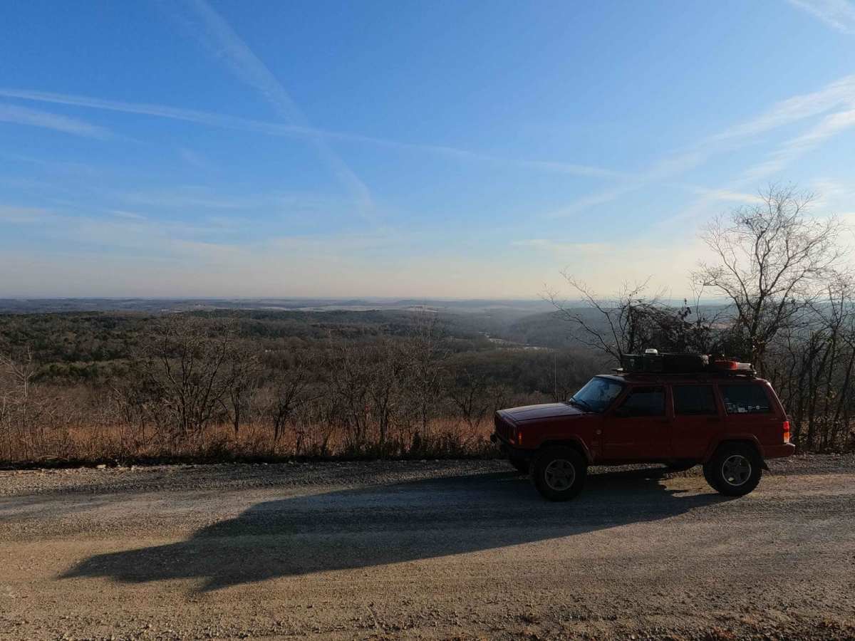
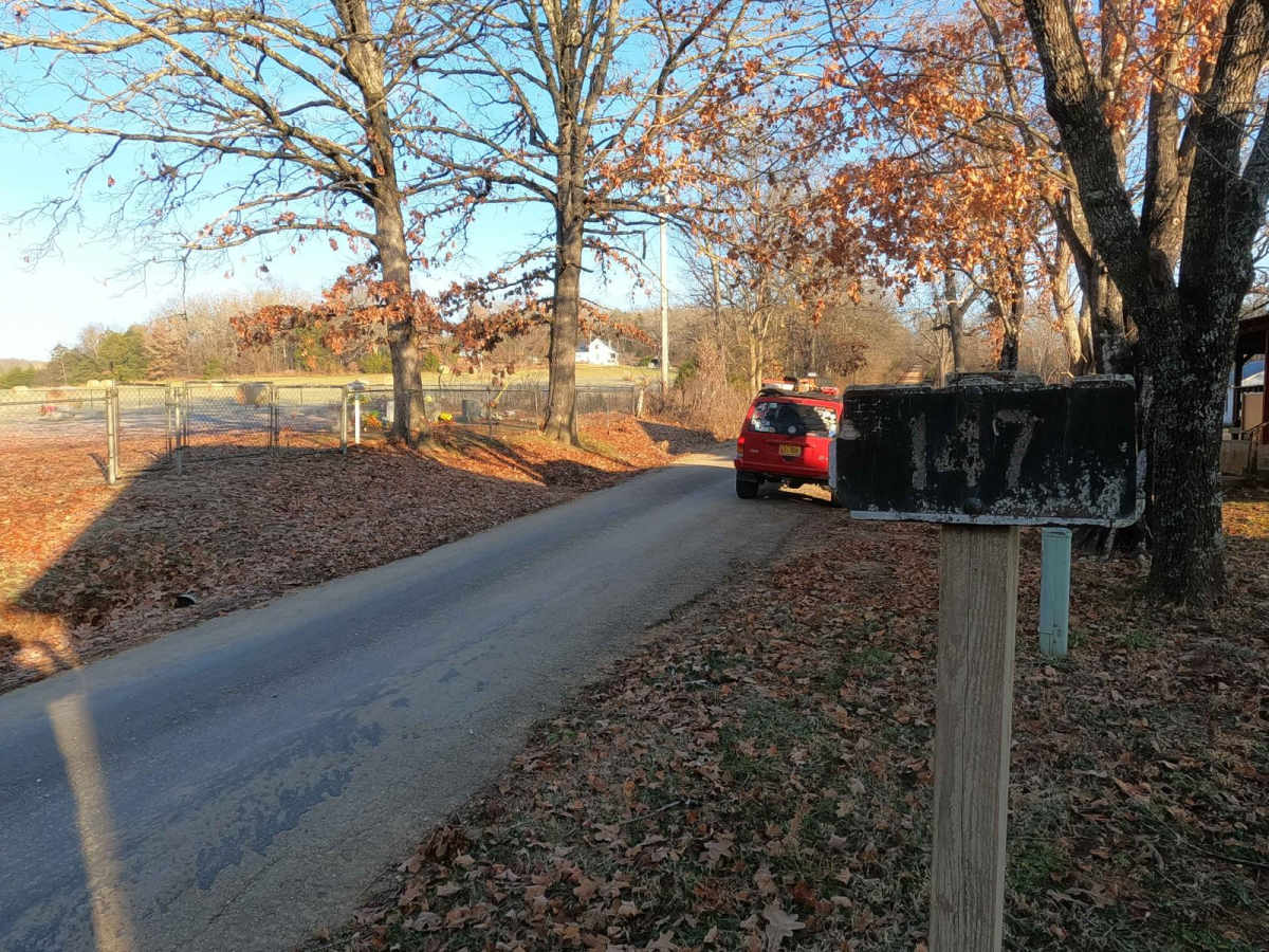
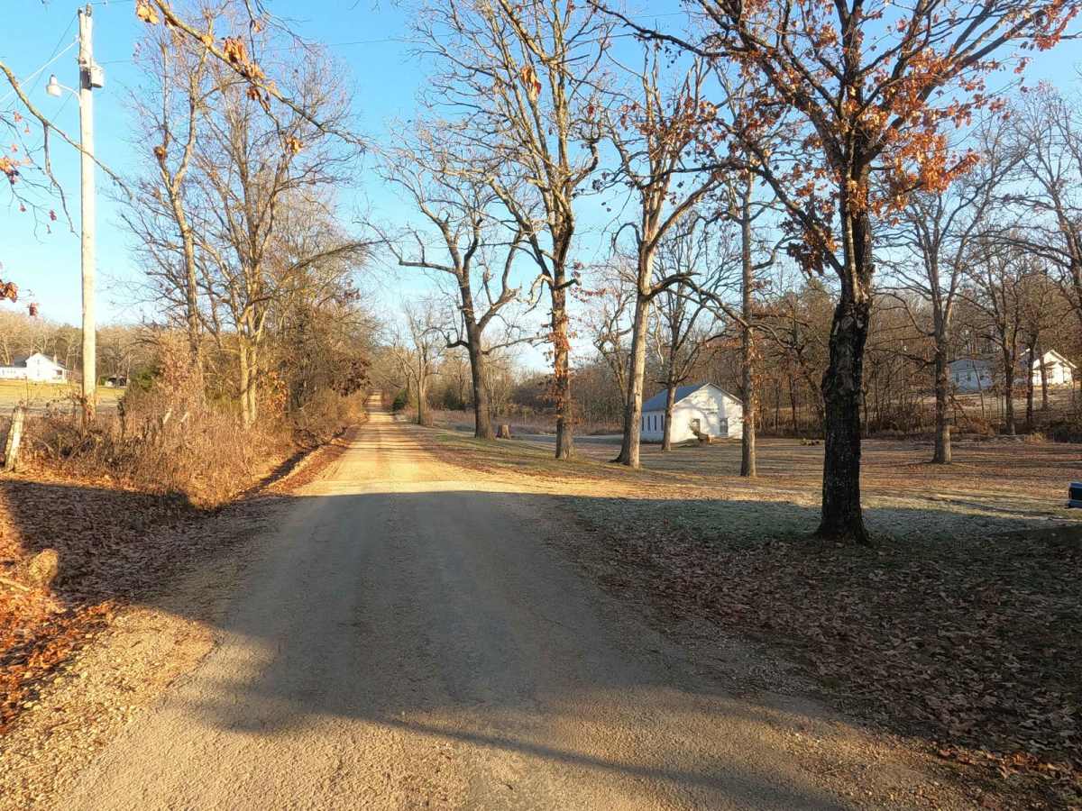
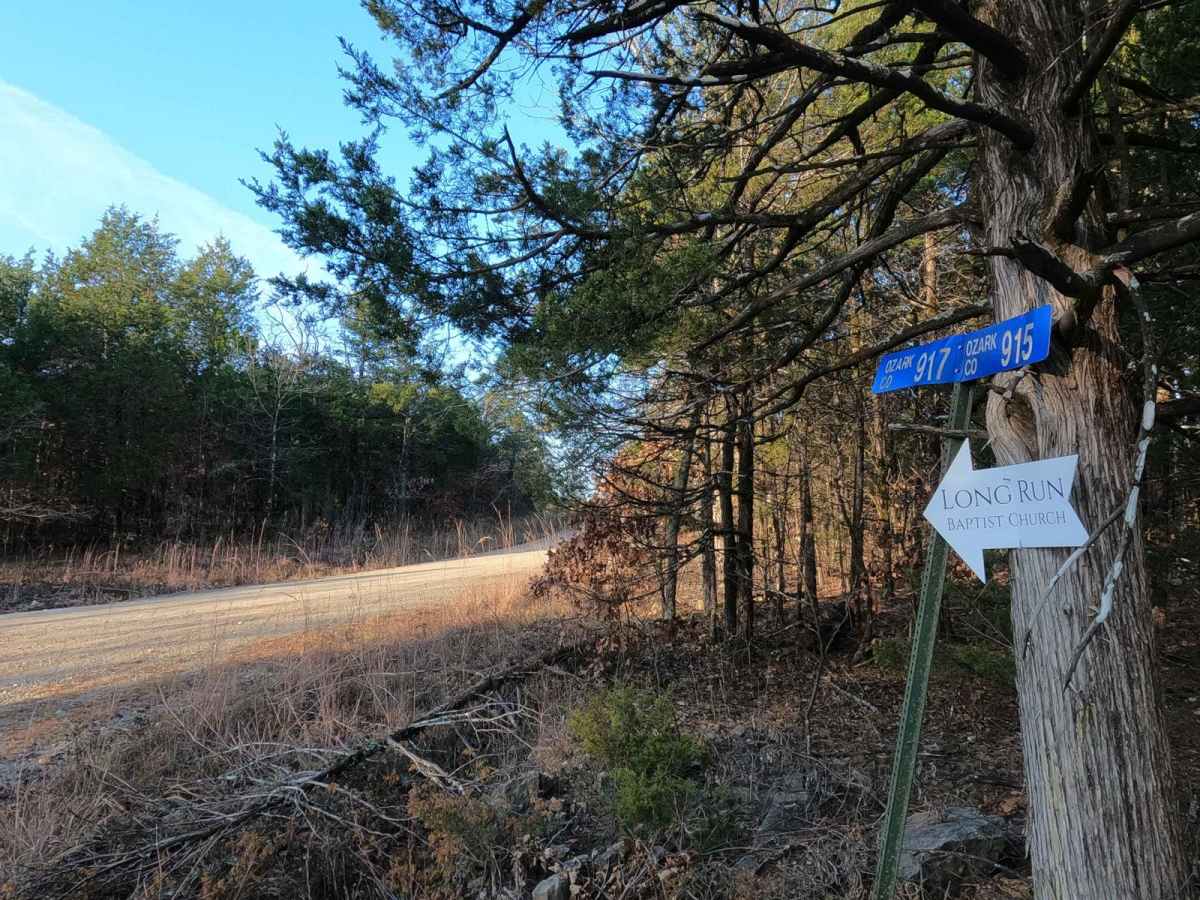
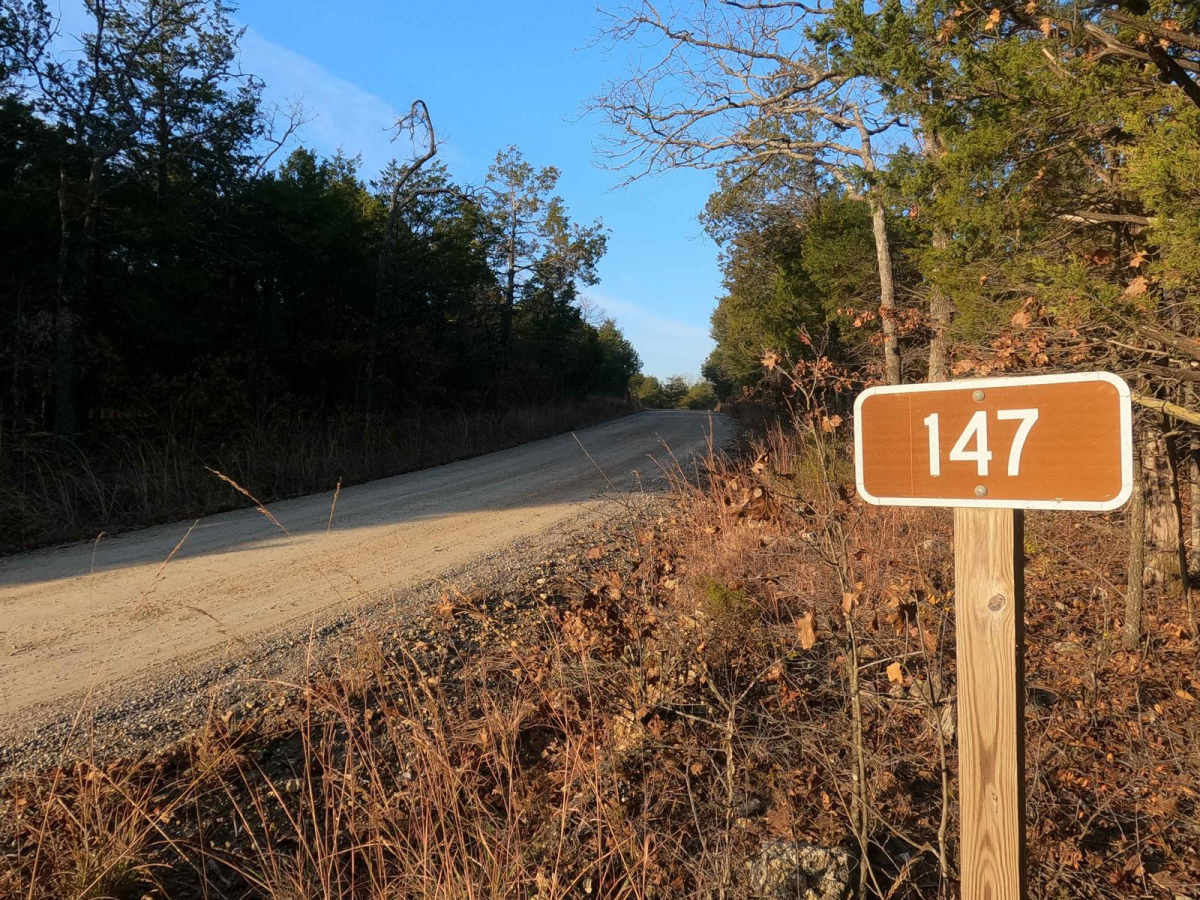
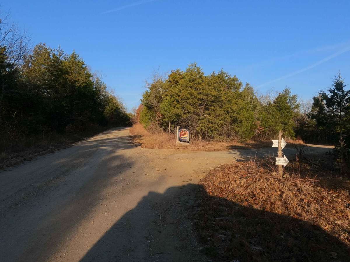
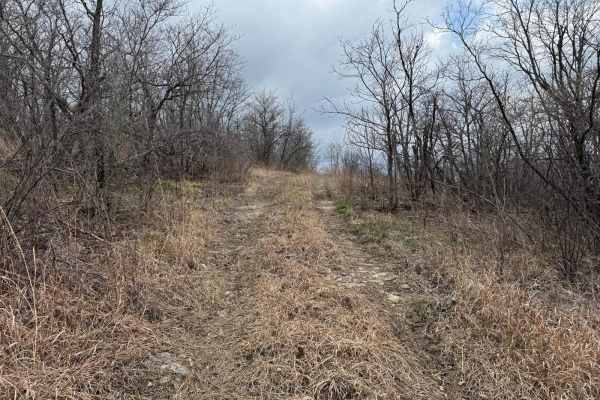
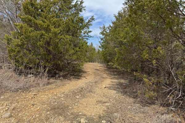
Glade Top South FS 147 is the southern 9-mile section of the maintained gravel forestry road from Longrun, Missouri, to the Pinnacle Mountain intersection. This is part of the official Glade Top National Scenic Byway within Mark Twain National Forest, Ava Unit. If desiring widespread views of natural ridge-top forest scenery across the northern Ozark landscape, look no further. Glade Top boasts breathtaking views for miles, showing off the rolling hilly area surrounding the maintained gravel road. These roads are the foundational means of traversing the area from end to end or the access points of the side trails. On this southern Glade Top section, there are many roadside dispersed camping sites, overlooks such as Panorama Overlook (found at 36.66739, -92.74744), and small spur roads, along with historic spots of previous human settlements and homesteads, such as Willie Lee (found at 36.69936, -92.78617). A notable midway intersection on the South FS 147 is with the Glade Top Southwest FS 149 shooting southwestward from 36.69654, -92.78411. At this intersection is found a small park called Wolf Junction (south side) and an old concrete foundation (north side).
Difficulty
The difficulty of the Glade Top South FS 147 is minimal. Along its track, you'll encounter mild graded inclines/declines, potholes, washboard, and mounding of the gravel. In spots, there may also be natural rock sticking out at the road surface. It's given a 1/10 for this simplicity. Difficulty could increase in times of wet and inclement conditions and after heavy use, but the road is rarely left in a rough state.
History
The Glade Top Trail is a Civilian Conservation Corps [CCC] built road that was designated a Scenic Byway in 1989. Portions of Forest Roads 147, 149, and 150 comprise the trail. The trail follows a series of ridgetops through the central glade area of the White River Hills. The Glade Top Trail is little changed from the original road constructed by the Civilian Conservation Corps in the late 1930s. For twenty-three miles, the two-lane, all-weather gravel road follows narrow ridge tops rising approximately 500 feet above the surrounding rolling countryside and overlooks and passes through many limestone/dolomite glades interspersed with open and closed woodlands. (Sourced from the USDA website.)