
Beginner Off-Road Trails
Near Shirley, Arkansas
Explore All Beginner Trails Near Shirley, Arkansas
Beginner Off-Road Trails Near Shirley, Arkansas
Discover the best beginner-friendly off-road trails near you. These easier, lower-rated trails are a great place to start — browse trail maps, check difficulty ratings, and find your next adventure.
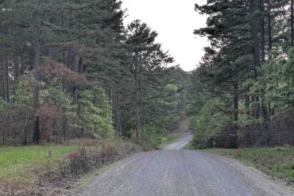
Scott Henderson Gulf Mountain WMA Access Road
The WMA Access Trail begins in the town of Scotland and leads into the Wildlife Management Area along a wide, winding gravel road that is maintained and relatively smooth. Several designated campsites can be found along the route, and an overnight stay at one revealed a peaceful atmosphere. However,...
Learn more about Scott Henderson Gulf Mountain WMA Access Road
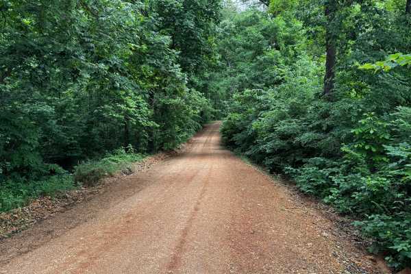
North Mill Creek
This route follows a well-maintained gravel road winding through dense hardwood forest and rolling Ozark terrain. Tall trees and thick green vegetation surround the roadway for nearly the entire drive, creating a tunnel-like atmosphere in many sections. The gravel surface is generally smooth and wid...
Learn more about North Mill Creek
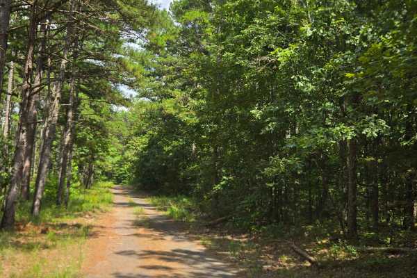
Circle Drive Road
Circle Drive, starts from the Trick Shot Circle trail and is a loop located in the Wildlife Management Area. Circle Drive trail is an easy dirt road that is a fun, quick loop. This trail doesn't offer any obstacles and is very well maintained by the Wildlife Management Area.
Learn more about Circle Drive Road
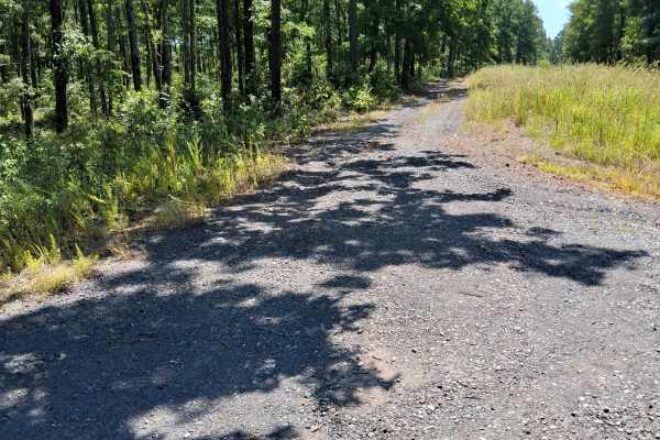
Eoff Road
This trail, Eoff Road, is an easy dirt road that turns into grass about halfway through. It starts off of the Gulf Mountain Road. It is well maintained and has an easy turnaround at the end where it turns into an Authorized Vehicles Only road. Not too much to this road, but it is very scenic.
Learn more about Eoff Road
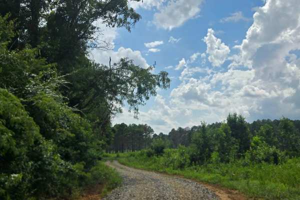
River Field Loop
This trail, River Road Loop, starts off of Cottonwood Road and is a dirt road loop. This trail has several other trails starting off of it; some are restricted per the WMA map, but some are accessible. This trail loops around a cleared field of beautiful WMA land and is well maintained.
Learn more about River Field Loop
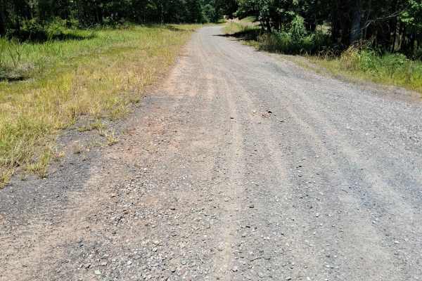
Andrew Road
This trail, Andrew Road, is an easy gravel road with no obstacles. It is accessible from either the west end off of the Wilderness trail or the east end off of Gulf Mountain Road. There is camping off this road near the west end but a permit is required.
Learn more about Andrew Road
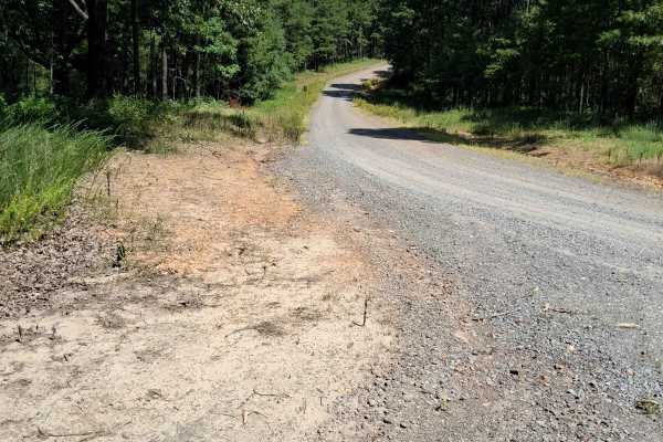
Gulf Mountain Road
This trail, Gulf Mountain Road, is and easy gravel road that starts off of Scott Henderson Gulf Mountain Wilderness Management Area Access Road and leads to a crossroads where four other trails start. Not too much to this road other than used as a connecting road. A few trails come off this road bef...
Learn more about Gulf Mountain Road
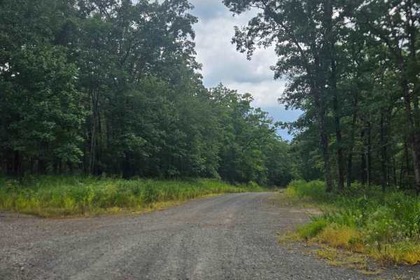
Cottonwood Road
Cottonwood Road is mostly an easy dirt route. Its primary obstacle is a shallow crossing of the South Fork Little Red River, where a former concrete bridge has been removed, requiring vehicles to pass through the water. The crossing includes a deep swimming hole and is a popular recreation spot. A l...
Learn more about Cottonwood Road
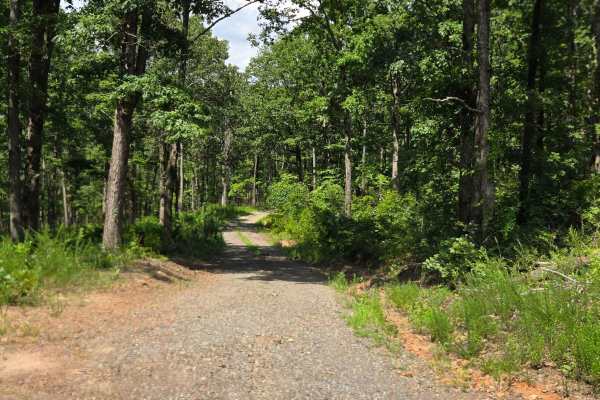
Trickshot Circle Road
Trick Shot Circle is an easy dirt road without any obstacles. This connector leads to Circle Drive, and takes you through the beautiful Wildlife Management Area land with many views along the way. Start off Gulf Mountain Road crossroads.
Learn more about Trickshot Circle Road
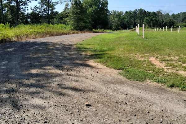
South Road
This road is on the Scott Henderson Gulf Mountain Wildlife Management Area Land. You can start this trail from either the north end off of Scott Henderson Gulf Mountain Wildlife Management Area Access Road, or from the south end off of Arkansas Highway 389. There are several trails branching off thi...
Learn more about South Road
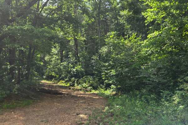
Low Gap Cemetery Road
This trail, Low Gap Cemetery Road, starts off of River Field Loop and starts climbing the hill. This trail has mudholes, whoops, and steep inclines with loose rock. This trail is also washed out in a few places. The trail keeps on going, but according to the WMA map, it ends.
Learn more about Low Gap Cemetery Road
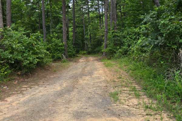
Dee Linn Jones Road
This Trail, Dee Linn Jones Road, starts off of River Field Loop and starts climbing the hill. It has a range of obstacles including a couple of shallow creek crossings, several whoops, steep inclines, a rock garden, mud, and roots. The trail keeps going, but it ends according to the WMA map.
Learn more about Dee Linn Jones Road
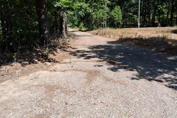
Big Bertha
This trail is an easy dirt road with no obstacles. This road leads to a beautiful scenic overlook. Not much to the drive, but it has a neat pond along the way. The end of the trail does have an easy run-around spot. This is an in-and-out trail.
Learn more about Big Bertha
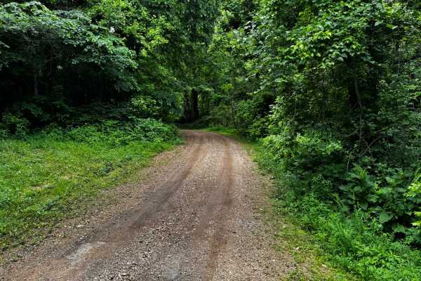
1106
This trail combines maintained gravel road with sections that follow the creek through a heavily wooded area. The route begins as a smoother gravel road winding through dense forest canopy before transitioning into rougher terrain with loose rock, uneven surfaces, and multiple creek crossings. One c...
Learn more about 1106
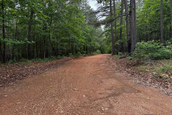
Lawrence road
This route is a well-maintained gravel road winding through dense sections of the Ozark National Forest, surrounded by tall pines, hardwoods, and thick green undergrowth. The drive feels more scenic than technical, with wide gravel surfaces, gentle curves, and long stretches shaded by the forest can...
Learn more about Lawrence road
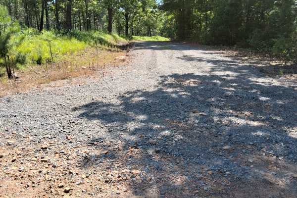
Gulf Mountain Wildlife Management Area Tour
This trail, the Gulf Mountain Wildlife Management Area Tour, is an easy dirt road but a very scenic drive. This road runs through well-maintained and the very beautiful land of the WMA. There are two parking areas off the side along this road. This road is very well maintained and worth a quick driv...
Learn more about Gulf Mountain Wildlife Management Area Tour
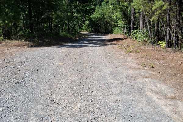
Birch Road
This trail, Birch Road, is an easy dirt road that leads to a small parking area. It has a dry creek crossing, which at the time was really washed out. Several trails branch off from this route, but most are restricted per the WMA map. Drive this as an out-and-back trail.
Learn more about Birch Road
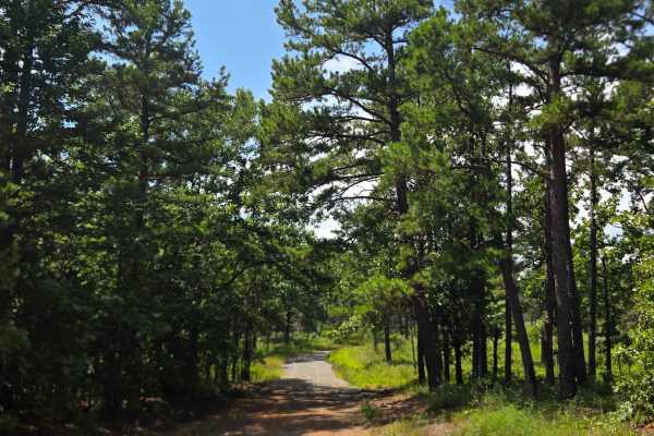
Line Ridge Road
Line Ridge Road is an easy dirt road that provides access to campsites that require a permit to camp. The trail ends at private property, so treat this as an out- and- back trail. There are also a couple of scenic ponds along the route.
Learn more about Line Ridge Road
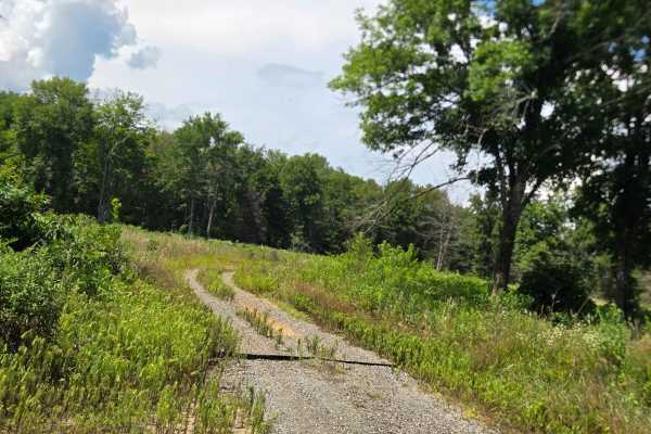
Line Ridge Fork
This trail, Line Ridge Fork, is an easy dirt road that starts off of Line Ridge Road. This trail doesn't have any obstacles but does take you through more of the beautiful WMA land and is very well maintained. The trail keeps going but is restricted per the WMA map.
Learn more about Line Ridge Fork
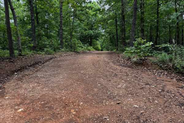
91057C
This county road provides an easy scenic drive through a heavily wooded section of the Ozarks. The route is gravel and generally well maintained, with wider sections near the entrance before gradually narrowing as it approaches the creek area. Tall hardwoods and thick vegetation line both sides of t...
Learn more about 91057C
Beginner ATV trails near Shirley, Arkansas
Explore ATV-friendly trails near you. These trails are accessible for vehicles up to 50 inches wide, perfect for ATVs and smaller off-road machines.
Scott Henderson Gulf Mountain WMA Access Road
The WMA Access Trail begins in the town of Scotland and leads into the Wildlife Management Area along a wide, winding gravel road that is maintained and relatively smooth. Several designated campsites can be found along the route, and an overnight stay at one revealed a peaceful atmosphere. However,...
Learn more about Scott Henderson Gulf Mountain WMA Access Road
91057C
This county road provides an easy scenic drive through a heavily wooded section of the Ozarks. The route is gravel and generally well maintained, with wider sections near the entrance before gradually narrowing as it approaches the creek area. Tall hardwoods and thick vegetation line both sides of t...
Learn more about 91057C
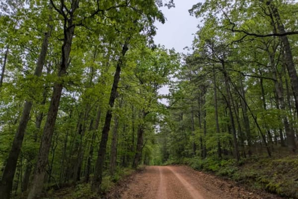
1112d
This bumpy, muddy, and partially corrugated trail winds its way down to a stream before climbing into the surrounding forest. Although the trail is maintained, it can be narrow in places, requiring drivers to make room for oncoming local traffic. The area is dotted with a few private properties and ...
Learn more about 1112d
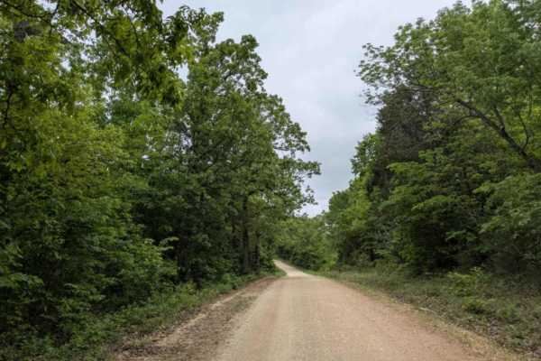
Hayden Road
Hayden Road is a maintained trail as of late April 2025, offering a scenic drive through beautiful old-growth forest. The route features relatively steep ascents and descents, with sections that can be bumpy and rocky. Several hiking and biking trails branch off from the main road, inviting further ...
Learn more about Hayden Road
Beginner UTV/side-by-side trails near Shirley, Arkansas
Find UTV and side-by-side trails near you. These trails accommodate vehicles up to 60 inches wide, ideal for UTVs, side-by-sides, and wider off-road rigs.
Scott Henderson Gulf Mountain WMA Access Road
The WMA Access Trail begins in the town of Scotland and leads into the Wildlife Management Area along a wide, winding gravel road that is maintained and relatively smooth. Several designated campsites can be found along the route, and an overnight stay at one revealed a peaceful atmosphere. However,...
Learn more about Scott Henderson Gulf Mountain WMA Access Road
91057C
This county road provides an easy scenic drive through a heavily wooded section of the Ozarks. The route is gravel and generally well maintained, with wider sections near the entrance before gradually narrowing as it approaches the creek area. Tall hardwoods and thick vegetation line both sides of t...
Learn more about 91057C
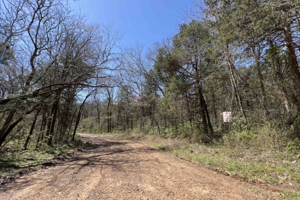
Lowder 1365
Lowder 1365 is a 4x4 road only. I would highly suggest airing down before you venture down this trail. Large rocks the size of bowling balls make up the roadway in a portion of this trail. Driver Creek with a depth of at least three feet, limits cars, dirt bikes, and low-clearance vehicles. It clear...
Learn more about Lowder 1365
1112d
This bumpy, muddy, and partially corrugated trail winds its way down to a stream before climbing into the surrounding forest. Although the trail is maintained, it can be narrow in places, requiring drivers to make room for oncoming local traffic. The area is dotted with a few private properties and ...
Learn more about 1112d
The onX Offroad Difference
onX Offroad combines trail photos, descriptions, difficulty ratings, width restrictions, seasonality, and more in a user-friendly interface. Available on all devices, with offline access and full compatibility with CarPlay and Android Auto. Discover what you're missing today!
Open Trail Map