
Beginner Off-Road Trails
Near Sayner, Wisconsin
Explore All Beginner Trails Near Sayner, Wisconsin
Beginner Off-Road Trails Near Sayner, Wisconsin
Discover the best beginner-friendly off-road trails near you. These easier, lower-rated trails are a great place to start — browse trail maps, check difficulty ratings, and find your next adventure.
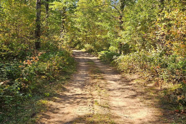
Sandy Summit Trail
The Sandy Summit Trail is a mellow and quiet trail that features a sandy/dirt trail with a few patches of rocks. There was a small sandy hill that had recently been graded, as indicated by the bulldozers parked along the trail. Trail conditions were dry and dusty. Cell service was spotty at times so...
Learn more about Sandy Summit Trail
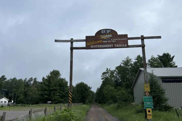
Gogebic County MI Trail LL/3
This is trail LL/ 3 located in Gogebic County, Michigan. This trail runs from its starting point at the Michigan/ Wisconsin border, and continues north to the town of Watersmeet, where it ends at the intersection of the Iron River-Marenisco Trail and Trail LL Bass Lake Road. This trail is a wide and...
Learn more about Gogebic County MI Trail LL/3
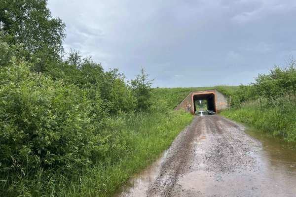
Trail SI Thayer
This Section of Trail SI is located in Gogebic County, Michigan. It begins at SI's intersection with Old US 2 West and ends to the east at its intersection with Old US 2 West, where the trail becomes paved for roughly 2 miles. This trail is an old converted railroad grade. The trail is just over one...
Learn more about Trail SI Thayer
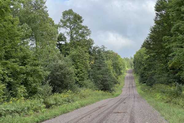
Stage Coach Road
This is Stage Coach Road. This trail navigates from its intersection with East Shore Rd on the Southern end of Lake Gogebic, to US Highway 2/ Trail SI Right-of-Way. Stage Coach Road is a wide and well-maintained gravel road that can be used by all; however, it is specifically valuable to the ATV/ Sx...
Learn more about Stage Coach Road
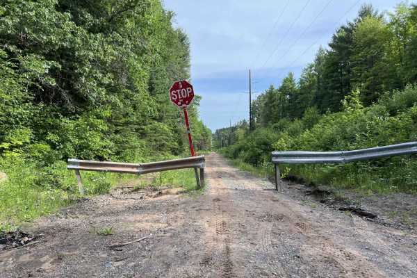
Trail LL - Paulding Lights
This is Trail LL, Paulding Lights, located in Gogebic and Ontonagon Counties, Michigan. This trail begins where Trail LL resumes as a gravel road (Bass Lake Rd) north of the town of Watersmeet. If traveling by ATV or SxS, a short paved route through town will need to be used in order to navigate fro...
Learn more about Trail LL - Paulding Lights

Giant Pine FR 2414
This route runs through the heart of the Argonne Experimental Forest. This route is a great mix of wide winding trails as well as larger rolling hills. Views of the oncoming landscapes are limited by the natural canopy provided by the untouched and undisturbed forest. Nature/wildlife sightings are a...
Learn more about Giant Pine FR 2414
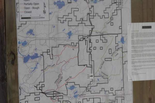
Tour Road
The route takes you through the Pelican River Forest in the North Woods of Wisconsin. The Pelican River Forest is privately owned by The Conservation Fund and open for public use when the gates are open and the roads are passable. This route loops from US 45 to the east back to US 45 on a gentle rol...
Learn more about Tour Road
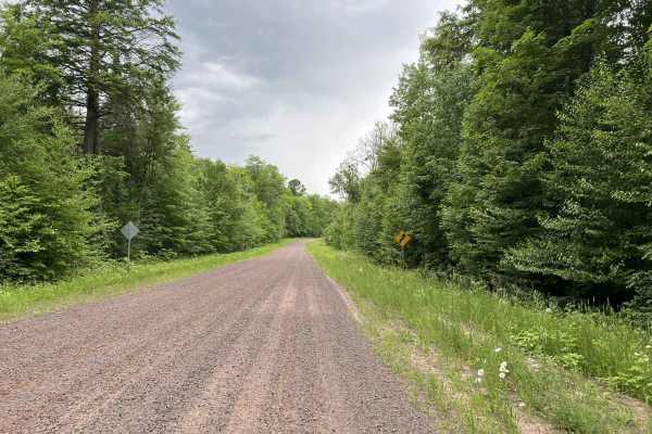
Two Mile Road - Thayer North Road
Two Mile Road, Thayer North Road is located in Ontonagon and Gogebic Counties, Michigan. This trail runs from its northern start point at the end of the paved section of Sleepy Hollow Road, Two Mile Road (46.39605, -89.28552), the trail travels southwest to its southern intersection with Old US 2 We...
Learn more about Two Mile Road - Thayer North Road
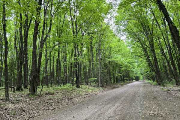
Pine River FR 2182
This trail is a great mix of tighter winding corners opening up into longer sweeping corners. A good amount of elevation changes are mixed in as well. This trail will exit onto Highway 55 when running it west to east. If running it east to west, Highway 55 serves as a good starting point for road-go...
Learn more about Pine River FR 2182
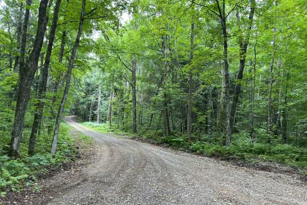
Loop Rd - FS 3903
Loop Road - FS 3903 runs from its intersection with Experimental Road - FS 2184 to its intersection with the southern section of 2184. This is a fun trail that navigates through a section of the Argonne Experimental Forest. The views offered by the quick, rolling elevation changes as well as long sw...
Learn more about Loop Rd - FS 3903
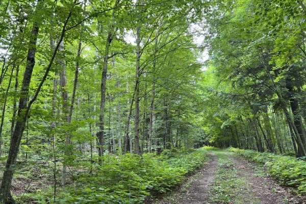
FS 3924
Forest Road 3924 runs from its intersection with FS 3903 to its intersection with FS 3905. This is one of the few two-track dirt trails in Forest County that is open to ATV and SxS traffic, rather than just 4x4 and full-size traffic like many others. While this trail is not super technical, it does ...
Learn more about FS 3924
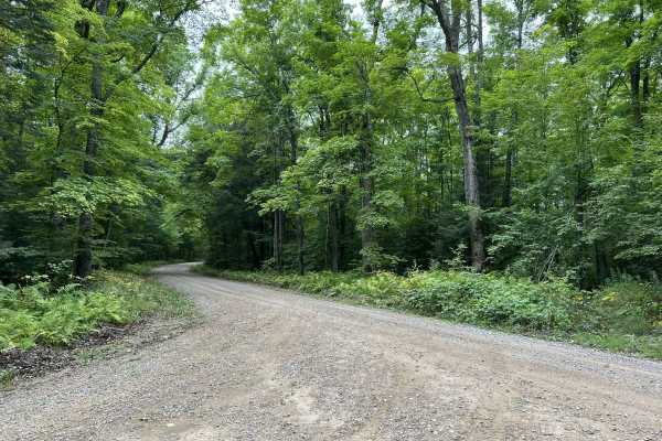
Experimental Road - FS 2184
Experimental Road - FS 2184 is a gentle, rolling gravel forest road that navigates from its southern intersection with Highway 32 to its northern intersection with FS 2183. This trail is just under 2 vehicles wide for its entire length and has similar terrain and features to other trails in the area...
Learn more about Experimental Road - FS 2184
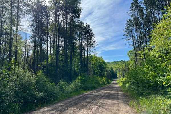
Jones Dam FR 2177
This trail runs from Divide Road to the Seven Hour Plane Crash Trail. This trail is an excellent mix of winding corners and large/medium hills. The landscape is made up of old-growth pine forests, as well as swamp/lowlands. Traveling from Divide Road, there will be a large levee/railroad grade that ...
Learn more about Jones Dam FR 2177
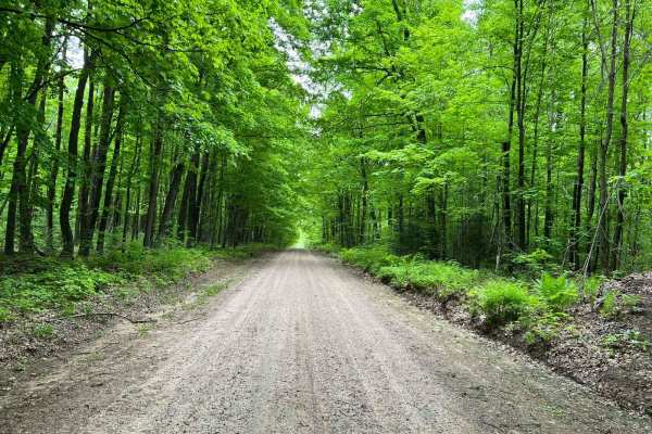
Forest Road 2183 Western Section
This route will navigate to or from the southern portion of the Seven Hour Plane Crash Trail. It's open to ATVs, SxSs, and all licensed road vehicles. This trail will also navigate the southern edge of the nonmotorized Argonne Experimental Forest. This trail is great for anyone looking for a peacefu...
Learn more about Forest Road 2183 Western Section
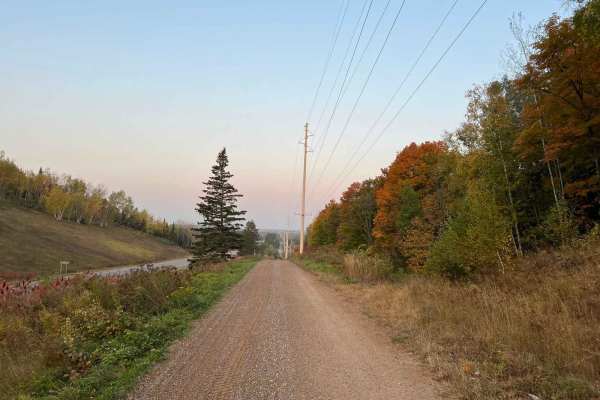
Crandon Highway 8 Trail
This ATV/ SxS trail runs from the town of Crandon to the town of Monico alongside US Highway 8. This trail serves as a great access point to the Crandon area trail systems, as well as the Enterprise/ Pelican Lake, and Harrison Hills Trails. This trail has several speed-restricted areas along the way...
Learn more about Crandon Highway 8 Trail
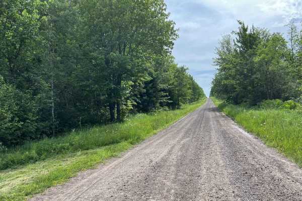
Swanson Road
Swanson Road is located in Ontonagon County, Michigan. This trail runs from its intersection with US Highway 45 to its intersection with FR-5320. This is a short access trail that will allow road-legal vehicles easy access to the southern Ontonagon County trails. The trail itself consists of wide op...
Learn more about Swanson Road
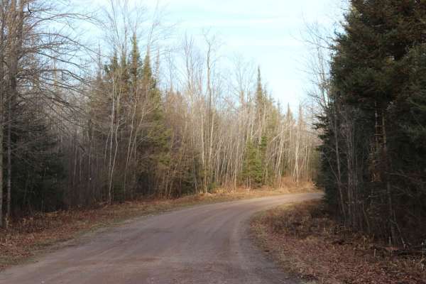
Long Lake Road - FS 2168
This route is a graded forest service road that runs East-West connecting State Highway 55 to State Highway 139. It is 6 miles of gravel that ends at pavement near Long Lake. This route is two lanes wide and well-maintained. This is a main connector to several smaller forest roads.
Learn more about Long Lake Road - FS 2168
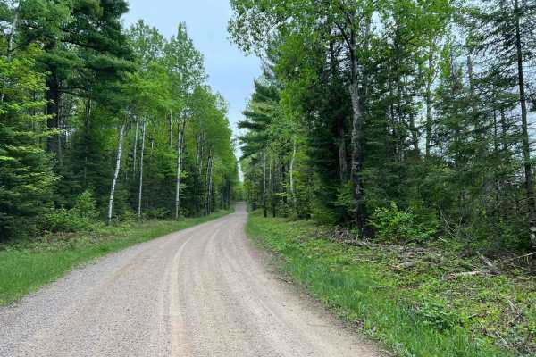
Wolf River Road Trail
This trail is a great multi-purpose trail accessible by both ATV/ SxS and full-size vehicles. This trail is a great access point to the north woods trails, as well as trails and forest roads contained within the Nicolet National Forest. The trail is a good mix of gradual rolling hills, as well as wi...
Learn more about Wolf River Road Trail
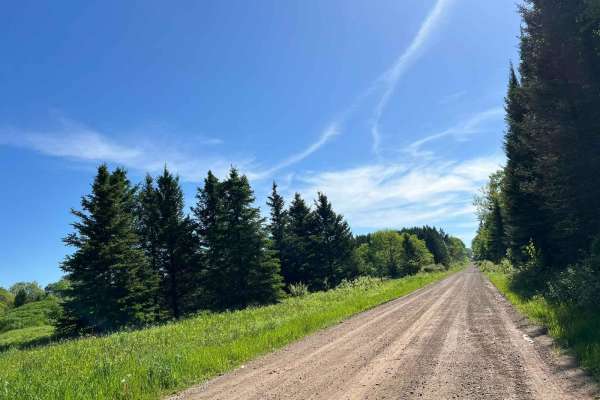
Double Bend FR 2166
This route runs from Highway 55 just north of the town of Argonne to the town of Newald, where the Nicolet National Trail intersects it (ATV/SxS use only). Entering this trail from Highway 55, this trail starts as straight wide-open gravel lanes. There are good elevation changes and sight lines are ...
Learn more about Double Bend FR 2166
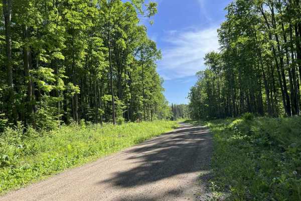
FR 2183 Eastern Section
This trail is the eastern portion of Forest Road 2183. This trail is wide with mostly long flowing corners. Elevation changes are subtle, noticeable, and enjoyable with a few larger elevation changes mixed in as well. This trail remains wide with exceptional sight lines throughout. The trail surface...
Learn more about FR 2183 Eastern Section
Beginner ATV trails near Sayner, Wisconsin
Explore ATV-friendly trails near you. These trails are accessible for vehicles up to 50 inches wide, perfect for ATVs and smaller off-road machines.
Sandy Summit Trail
The Sandy Summit Trail is a mellow and quiet trail that features a sandy/dirt trail with a few patches of rocks. There was a small sandy hill that had recently been graded, as indicated by the bulldozers parked along the trail. Trail conditions were dry and dusty. Cell service was spotty at times so...
Learn more about Sandy Summit Trail
Gogebic County MI Trail LL/3
This is trail LL/ 3 located in Gogebic County, Michigan. This trail runs from its starting point at the Michigan/ Wisconsin border, and continues north to the town of Watersmeet, where it ends at the intersection of the Iron River-Marenisco Trail and Trail LL Bass Lake Road. This trail is a wide and...
Learn more about Gogebic County MI Trail LL/3
Trail SI Thayer
This Section of Trail SI is located in Gogebic County, Michigan. It begins at SI's intersection with Old US 2 West and ends to the east at its intersection with Old US 2 West, where the trail becomes paved for roughly 2 miles. This trail is an old converted railroad grade. The trail is just over one...
Learn more about Trail SI Thayer
Stage Coach Road
This is Stage Coach Road. This trail navigates from its intersection with East Shore Rd on the Southern end of Lake Gogebic, to US Highway 2/ Trail SI Right-of-Way. Stage Coach Road is a wide and well-maintained gravel road that can be used by all; however, it is specifically valuable to the ATV/ Sx...
Learn more about Stage Coach Road
Beginner UTV/side-by-side trails near Sayner, Wisconsin
Find UTV and side-by-side trails near you. These trails accommodate vehicles up to 60 inches wide, ideal for UTVs, side-by-sides, and wider off-road rigs.
Sandy Summit Trail
The Sandy Summit Trail is a mellow and quiet trail that features a sandy/dirt trail with a few patches of rocks. There was a small sandy hill that had recently been graded, as indicated by the bulldozers parked along the trail. Trail conditions were dry and dusty. Cell service was spotty at times so...
Learn more about Sandy Summit Trail
Gogebic County MI Trail LL/3
This is trail LL/ 3 located in Gogebic County, Michigan. This trail runs from its starting point at the Michigan/ Wisconsin border, and continues north to the town of Watersmeet, where it ends at the intersection of the Iron River-Marenisco Trail and Trail LL Bass Lake Road. This trail is a wide and...
Learn more about Gogebic County MI Trail LL/3
Trail SI Thayer
This Section of Trail SI is located in Gogebic County, Michigan. It begins at SI's intersection with Old US 2 West and ends to the east at its intersection with Old US 2 West, where the trail becomes paved for roughly 2 miles. This trail is an old converted railroad grade. The trail is just over one...
Learn more about Trail SI Thayer
Stage Coach Road
This is Stage Coach Road. This trail navigates from its intersection with East Shore Rd on the Southern end of Lake Gogebic, to US Highway 2/ Trail SI Right-of-Way. Stage Coach Road is a wide and well-maintained gravel road that can be used by all; however, it is specifically valuable to the ATV/ Sx...
Learn more about Stage Coach Road
The onX Offroad Difference
onX Offroad combines trail photos, descriptions, difficulty ratings, width restrictions, seasonality, and more in a user-friendly interface. Available on all devices, with offline access and full compatibility with CarPlay and Android Auto. Discover what you're missing today!
Open Trail Map