
Beginner Off-Road Trails
Near Roscoe, New York
Explore All Beginner Trails Near Roscoe, New York
Beginner Off-Road Trails Near Roscoe, New York
Discover the best beginner-friendly off-road trails near you. These easier, lower-rated trails are a great place to start — browse trail maps, check difficulty ratings, and find your next adventure.
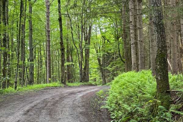
Behrmann Hill Road
This is a seasonal, limited-use road, and it was all loose gravel. There was nothing technical on this route. For the most part, two vehicles can get through only a few sections that are only one car width, with some pullovers. This is a nice short road to other trails around this area.
Learn more about Behrmann Hill Road
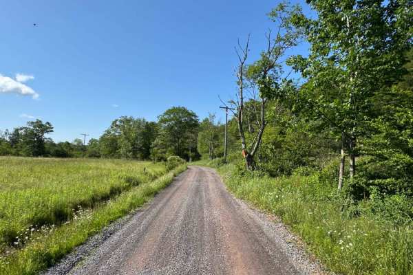
Mary Smith Hill Road
This is loose gravel and dirt. Nothing technical on this road. There are some sections that are just wide enough for one vehicle, with some spots to pull over. Along the way beautiful views of the mountains. Any vehicle can do this road.
Learn more about Mary Smith Hill Road
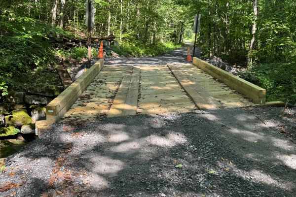
Shin Creek Road
This is a loose gravel back road. There is nothing technical on this road. It follows a river and there is a small bridge crossing with a small waterfall. For the most part, it is a one-vehicle-width road with some areas to pull over.
Learn more about Shin Creek Road
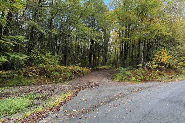
Johnston Road
This is a loose gravel, non-maintained road. This goes up the mountain and connects Basket Cr Road and Route 28. Nothing technical, loose stone for the most part, either way you enter, it's a climb up a mountain and drop down on the other side. There are some places to pull over and let another vehi...
Learn more about Johnston Road
River Road
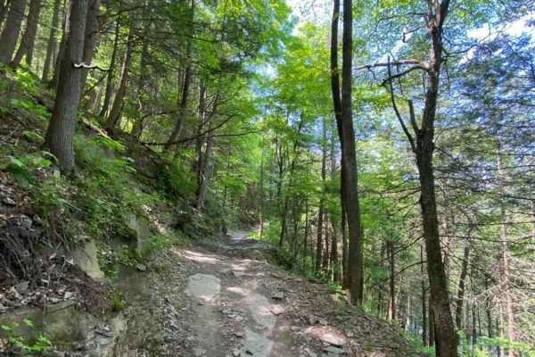
This narrow woodland path turns into a narrow rocky shelf road along the Upper Delaware River. The trail is in a non-maintenance Township and does pass through private property. STAY ON THE TRAIL! You will encounter landslides, downed trees, and snow/ice. The trail's highlight is where it passes thr...
Learn more about River Road
Hoolihan Brook Rd
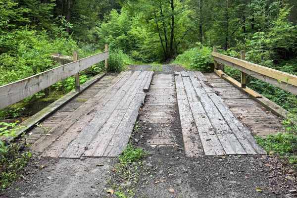
This started as a single-lane loose-gravel trail following a stream through the woods. You do cross over a man-made bridge to cross the stream. There are limited pullouts for most of the road to let other vehicles through. After you come out of the woods, it becomes a loose gravel section past house...
Learn more about Hoolihan Brook Rd
West Murphy Hill Road
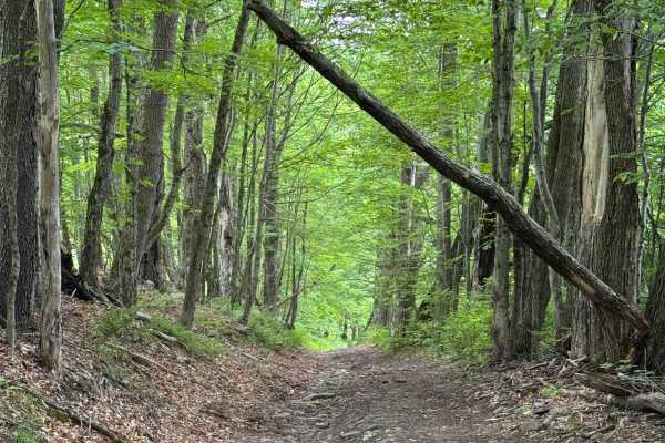
This started as a loose gravel road as you started climbing the hill. It then turned to a mix of gravel and mud, which changed to full mud as you were finishing the climb. The trail then changed to a single lane through the woods. It was a lot of washed-out sections with loose rocks. At the time a l...
Learn more about West Murphy Hill Road
Cross Mountain Road
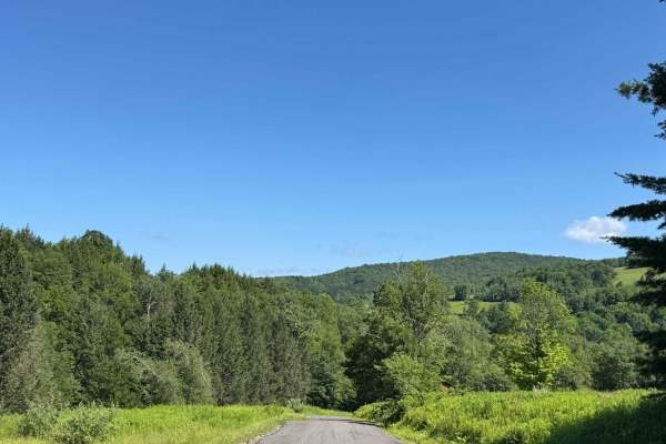
This is mostly a loose gravel, non-maintained road. There is nothing technical on this road. Some sections follow the river, which is nice. Mostly a one-lane road, but plenty of sections to pull over or just move over enough for two vehicles to go.
Learn more about Cross Mountain Road
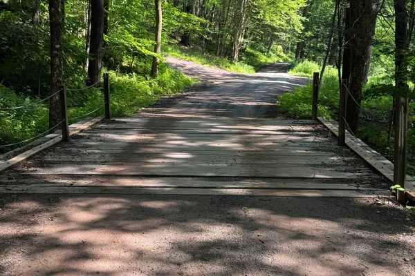
River Road
This is a non-maintained road, mostly loose gravel. There is nothing too technical on this road. Some sections are wide enough for two vehicles, but others are only wide enough for one with limited pullover spots. There is a small wooden bridge to cross.
Learn more about River Road
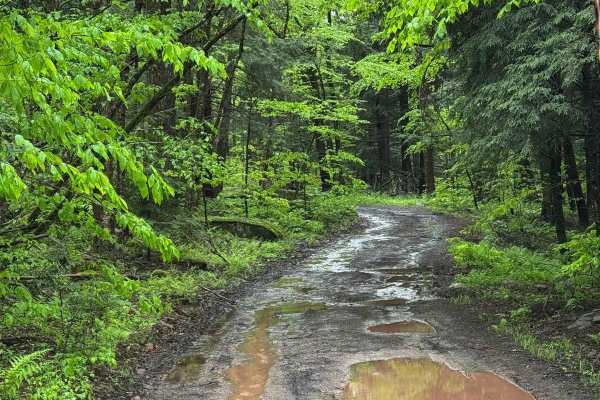
Basily Road
This trail started on packed dirt and gravel but changed to loose gravel and mud. This trail has limited pullouts to let vehicles pass. The hills are slick from washouts from the rain. The trail also gets very wet. When it rains, it has a lot of deep mudholes, and sections of the trail have water fl...
Learn more about Basily Road
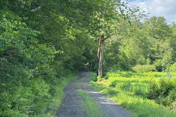
Blum Road
This is a non-maintained road, mostly made up of loose gravel. Most of the road is wide enough for two vehicles, and where it isn't, you have enough room to move over. There is nothing technical on this road; it is just a nice, easy road that follows a river.
Learn more about Blum Road
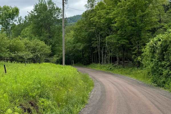
Carcass Brook Road
This is a seasonal road that is all loose gravel. There was nothing technical on this road. It is wide enough for two vehicles to pass by. This follows the Carcass Brook, which is a nice drive. There are pull-outs to check the book out.
Learn more about Carcass Brook Road
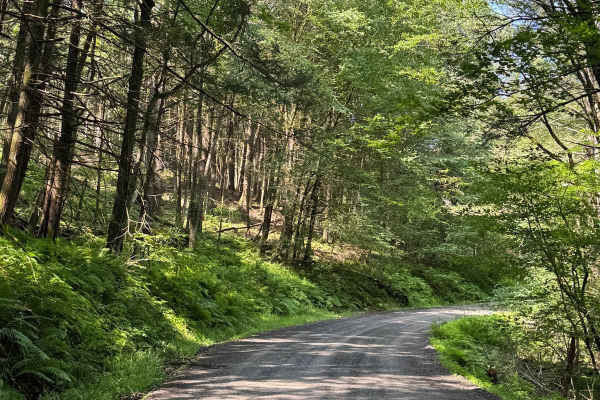
Cooley Creek Road
This is a loose gravel road. There is nothing technical on this road; it follows Cooley Creek. The road is wide enough for two vehicles, and it can still fit two cars where it narrows a little. Towards the end is a small pond.
Learn more about Cooley Creek Road
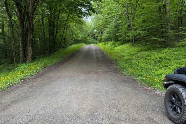
West Trout Brook Road
This is a loose gravel road, starts wide enough for two vehicles, but some spots are only one lane with plenty of pull-over spots to let vehicles go. It runs with the West Trout Brook, with plenty of spots to pull over and enjoy the brook. Nothing technical on this route.
Learn more about West Trout Brook Road
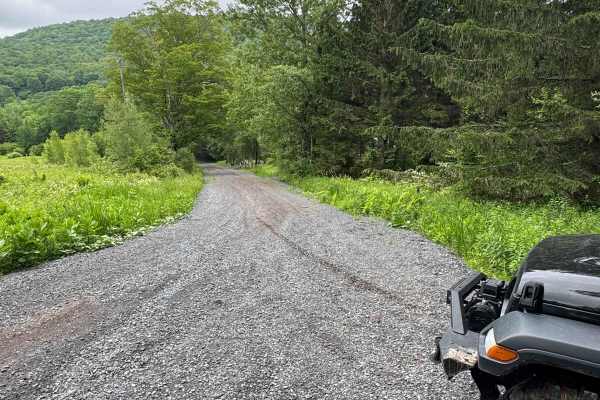
Skunk Hollow Road
This is a loose gravel, non-maintained road. There is nothing too technical; there are some sections that are single track, but there are pullovers to let vehicles go by. The beginning of the road had some houses on it, then turned to loose stone with nothing around.
Learn more about Skunk Hollow Road
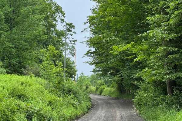
Readburn Road
This is a seasonal road that is all loose gravel. There was nothing technical on this. It is mostly wide enough for two vehicles to pass by. There is a section that gets too narrow for two vehicles, but it does have a few pull-overs.
Learn more about Readburn Road
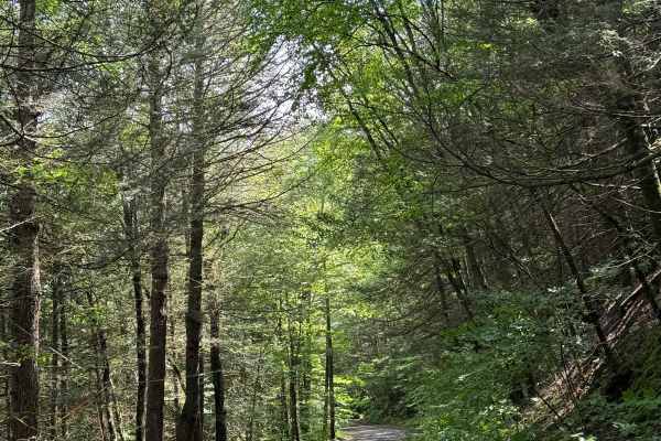
Old Union Road
This is a non-maintained road made of mostly loose gravel. It is mostly wide enough for two vehicles, but there are some pull-over spots where it is only wide enough for one vehicle. There is nothing technical about this; it's just a nice, easy ride through the mountain.
Learn more about Old Union Road
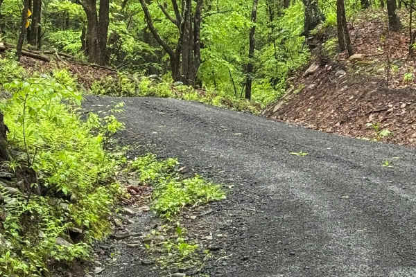
Denman Mountain Rd
This is a mix of packed and loose gravel. It is flat for the most part, nothing technical. There are several spots to pull over to let other vehicles go. The trail is a public town road that is not maintained and goes through a beautiful area.
Learn more about Denman Mountain Rd
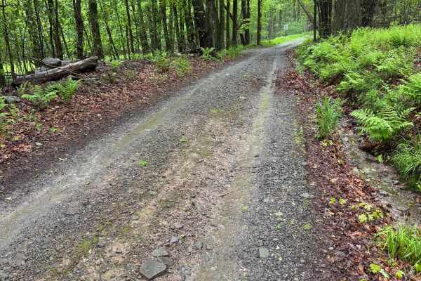
Moore Hill Road
This trail is a public road that is not maintained. It is a mix of packed and loose gravel with a few sections of puddles and rocks. There is nothing too technical here, and it is a one-lane trail with several spots to pull over. On rainy days, it will be a little slick, and some water will run down...
Learn more about Moore Hill Road
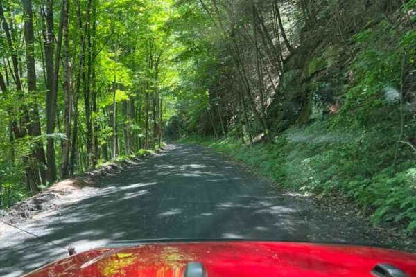
T-743/T-727
The trail starts off in Poyntelle as Township-727 and in Winterdale as T-743. This section of the O and W Trail is a recognized Township route open to street-licensed 4x4s. The trail follows the former route of the Ohio and Western Railroad. Multiple former stations can be observed along the route. ...
Learn more about T-743/T-727
Beginner ATV trails near Roscoe, New York
Explore ATV-friendly trails near you. These trails are accessible for vehicles up to 50 inches wide, perfect for ATVs and smaller off-road machines.
T-743/T-727
The trail starts off in Poyntelle as Township-727 and in Winterdale as T-743. This section of the O and W Trail is a recognized Township route open to street-licensed 4x4s. The trail follows the former route of the Ohio and Western Railroad. Multiple former stations can be observed along the route. ...
Learn more about T-743/T-727
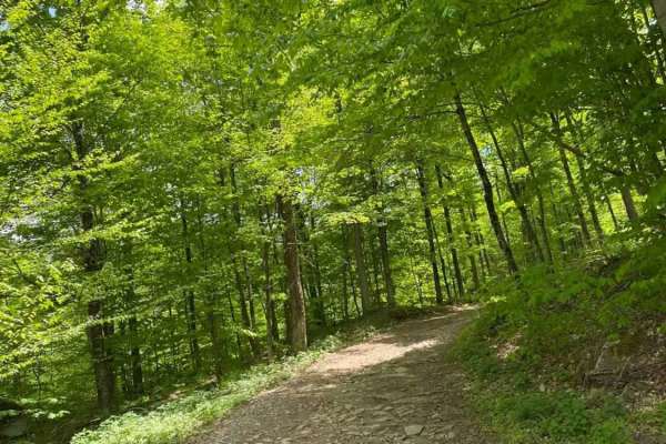
Big Valley Road
Big Valley Road offers a scenic and highly accessible offroad driving experience for novice drivers and seasoned explorers alike, serving as a tranquil passage through Pennsylvania's dense State Game Lands. Stretching approximately 2.2 miles, this winding forest road climbs from an elevation of 1,29...
Learn more about Big Valley Road
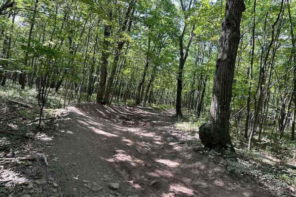
31 Green - A
If you need some variety in your life, 31 Green is your trail. This uneven, dirt trail will throw some curveballs at you with various-sized rocks, up and down slopes, rocky ledges and shallow muddy obstacles. You may encounter a downed tree here and there as this trail does take you through some woo...
Learn more about 31 Green - A
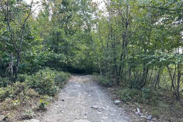
11 Blue
Trail 11 is a very mixed terrain trail. There are plenty of water puddles and rocks all over this trail. Then add in the hills and slightly off camber areas and it is a great mix. The bear caves are also along this trail. It is also fun to look out to the highway as it runs parallel to the trail.
Learn more about 11 Blue
Beginner UTV/side-by-side trails near Roscoe, New York
Find UTV and side-by-side trails near you. These trails accommodate vehicles up to 60 inches wide, ideal for UTVs, side-by-sides, and wider off-road rigs.
T-743/T-727
The trail starts off in Poyntelle as Township-727 and in Winterdale as T-743. This section of the O and W Trail is a recognized Township route open to street-licensed 4x4s. The trail follows the former route of the Ohio and Western Railroad. Multiple former stations can be observed along the route. ...
Learn more about T-743/T-727
Big Valley Road
Big Valley Road offers a scenic and highly accessible offroad driving experience for novice drivers and seasoned explorers alike, serving as a tranquil passage through Pennsylvania's dense State Game Lands. Stretching approximately 2.2 miles, this winding forest road climbs from an elevation of 1,29...
Learn more about Big Valley Road
31 Green - A
If you need some variety in your life, 31 Green is your trail. This uneven, dirt trail will throw some curveballs at you with various-sized rocks, up and down slopes, rocky ledges and shallow muddy obstacles. You may encounter a downed tree here and there as this trail does take you through some woo...
Learn more about 31 Green - A
11 Blue
Trail 11 is a very mixed terrain trail. There are plenty of water puddles and rocks all over this trail. Then add in the hills and slightly off camber areas and it is a great mix. The bear caves are also along this trail. It is also fun to look out to the highway as it runs parallel to the trail.
Learn more about 11 Blue
The onX Offroad Difference
onX Offroad combines trail photos, descriptions, difficulty ratings, width restrictions, seasonality, and more in a user-friendly interface. Available on all devices, with offline access and full compatibility with CarPlay and Android Auto. Discover what you're missing today!
Open Trail Map