
Beginner Off-Road Trails
Near Riddleville, Georgia
Explore All Beginner Trails Near Riddleville, Georgia
Beginner Off-Road Trails Near Riddleville, Georgia
Discover the best beginner-friendly off-road trails near you. These easier, lower-rated trails are a great place to start — browse trail maps, check difficulty ratings, and find your next adventure.
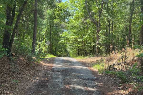
Rock House Falls Road - FS 1108
Rock House Falls Road is a short drive in the Cedar Creek Wildlife Management Area of the Oconee National Forest. It leads down to the banks of Murder Creek at Rock House Falls, where there is a small parking area and overlook for the falls. Foot trails lead from the parking area down to Murder Cree...
Learn more about Rock House Falls Road - FS 1108

Peter Williams FR1052
Peter Williams Forest Road 1052 is a winding out-and-back trail that sees little traffic, likely because it begins on private property off the beaten path. The road leading to Peter Williams is paved, but don't worry, as the trail starts where the pavement ends. The road is single-lane wide with a g...
Learn more about Peter Williams FR1052
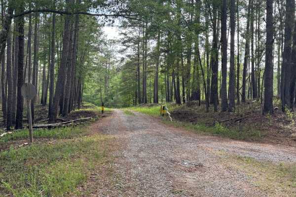
Williamson Cemetery A - FS 1048A
Williamson Cemetery A (FS 1048A) branches off of FS 1048 about three miles south of County Road 212. Most of the road is single-lane, improved gravel up to the closed gate where it enters private land. Turning left at the private gate to continue, the road loses some of its gravel base and picks up ...
Learn more about Williamson Cemetery A - FS 1048A
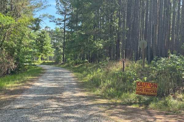
Union Hill Church - FS 1040
Union Hill Church (FS 1040) is an out-and-back trail that dead-ends into private property. The trail is single-lane wide with places to pass, but be mindful of logging trucks as they move fast and leave little room for error. The trail surface is mostly gravel that turns to mostly red Georgia clay n...
Learn more about Union Hill Church - FS 1040
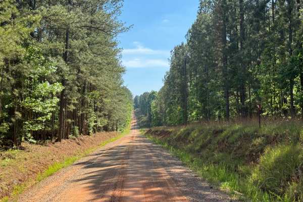
Union Hill Church Road
Union Hill Church Road is a four-and-a-half-mile point-to-point trail running from the intersection of Bradley Road SE and Union Hill Church. FR1040 on its north end to Shoal Creek Road on the southern end. The trail is a generous one lane wide, widening to two lanes wide nearer to the northern end,...
Learn more about Union Hill Church Road
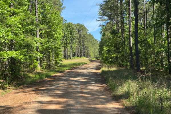
Firetower Road
Firetower Road is a two and a half mile point-to-point road through the Cedar Creek WMA section of the Oconee National Forest. It passes through several private properties along the southern end. Watch for a small cemetery plot along the western right-of-way in this area. Markers date from the early...
Learn more about Firetower Road

Glenwood Springs Road
Glenwood Springs Road is a two-lane wide, packed red Georgia clay and crushed rock point-to-point trail through the central section of the Oconee National Forest. The forest on each side of the trail is fairly open on the western end and begins to thicken as you travel westward, with dense underbrus...
Learn more about Glenwood Springs Road

Reids Road
Reids Road is a packed Georgia clay point-to-point road with some sections of crushed gravel for stability. It is a generous one vehicle wide on the northwestern end, narrowing to a typical one lane wide on the southeast end, where it transitions to a two lane paved surface. The trail passes through...
Learn more about Reids Road
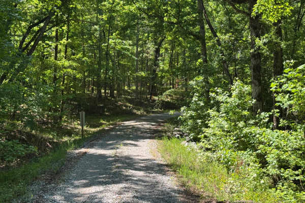
Stanford FR1059
Stanford FR1059 is an interesting stretch of a two-track point-to-point trail through the Oconee National Forest. It provides a scenic alternate route from Greenwood Spring Road's midpoint back to Highway 212. It has a well-maintained gravel base with plenty of turns and elevation changes to make th...
Learn more about Stanford FR1059
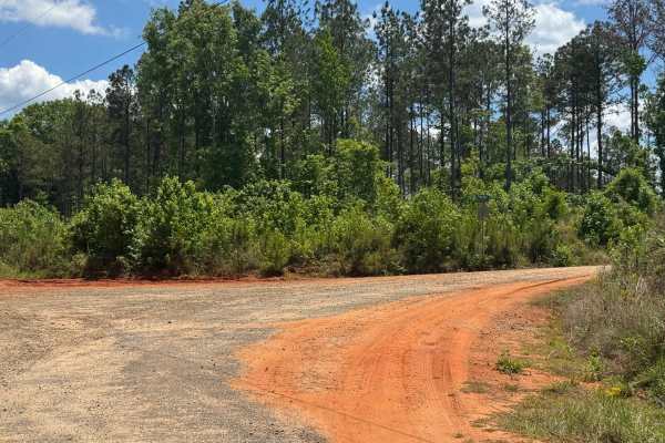
Pines Chapel - FS 1044
Pines Chapel (FS 1044) is a 1.3-mile out-and-back trail through the Cedar Creek Wildlife Management Area, which is part of the Oconee National Forest. The trail is packed clay and dirt with a gravel topper, making for an easy drive. The road actually ends just short of where the MVUM shows the end a...
Learn more about Pines Chapel - FS 1044
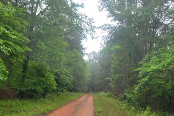
Oconee Southern Traverse (Segment 1)
This route begins at the northern end of Burgess Road (1120), a well-maintained gravel service road that leads to Martins Mill Road. At this split, travelers should turn right as taking a left will lead you to a dead end. Martins Mill Road is well maintained however some washed out road conditions m...
Learn more about Oconee Southern Traverse (Segment 1)
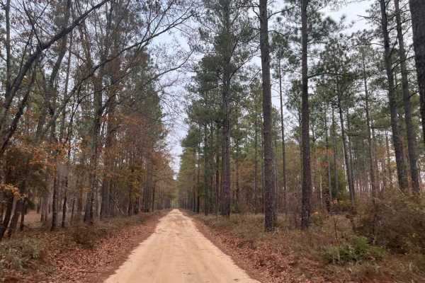
Kathwood Trail
This short trail within the Savannah River Water District offers several opportunities to explore the old river basin. While out on the trail, you will pass the Audubon Sanctuary and see the ruins of an old grist mill forgotten to time as you ride on the ancient seashore of the Atlantic Ocean. On on...
Learn more about Kathwood Trail
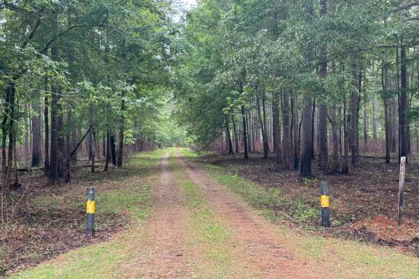
Vinning - FS 1092
Vinning (FS 1092) is a short, gentle, and beautiful ride through the far northeast section of the Oconee National Forest close to the Oconee Ranger Station. Its eastern end is along the well-manicured Rock Eagle Road and the entrance to the Rock Eagle 4-H Center. The trail winds through large stands...
Learn more about Vinning - FS 1092
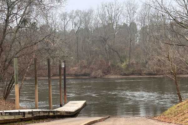
Landing Road
Landing Road takes you back through the flood basin of the Savannah River. This sandy road is a down and back that is well maintained and two lanes wide. You will see the swamps with large cypress trees emerging from the black water. You will encounter farmland as well as crossing over some railroad...
Learn more about Landing Road
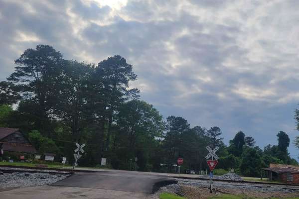
Oconee Southern Traverse - 1068 (Segment 2)
This portion of the Oconee forest has well maintained service roads throughout with minimal-to-no obstacles to encounter. Wildlife such as deer and turkey are often seen so situational awareness should be maintained while driving to ensure safe travel. While the majority of the route is gravel/dirt,...
Learn more about Oconee Southern Traverse - 1068 (Segment 2)
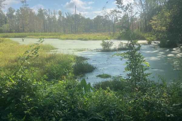
Fury's Ferry Boat Ramp
This short trail takes you down to the South Carolina Side of the Savannah River. You will pass some very swampy areas on both sides of the road. If you stop looking at the wildlife, make sure you watch for Alligators. This is a great trail to hit if you are out for a day of exploring and want a ni...
Learn more about Fury's Ferry Boat Ramp
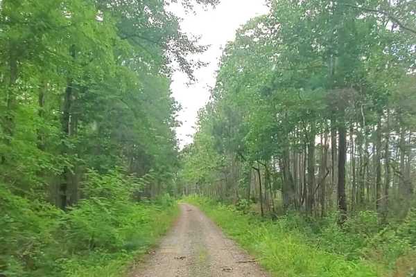
Hopewell Church - Lost wilderness traverse (661/669B)
This trail consists of two well-maintained dirt roads that cross the southern portion of the Sumter National Forest. Muddy conditions can be expected during the rainy season with possible down trees. The roads seem to be well maintained and can be traveled with most vehicles during any season.
Learn more about Hopewell Church - Lost wilderness traverse (661/669B)
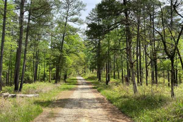
Hitchiti
Hitchiti is a well-maintained gravel trail. There's a bridge over scenic Falling Creek just after you pass through the gate. The trail then winds through an experimental demonstration area, mostly pines, where the US Forest Service evaluates various methods for sustaining and managing forests. The t...
Learn more about Hitchiti
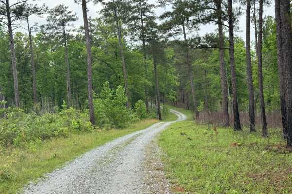
5 Points Lake East Access
5 Points Lake East Access provides an alternate access to Five Points Lake. It is an out-and-back trail with a generous gravel base, allowing for easy travel by most vehicles. As the trail winds through the forest, there are signs of recent controlled burns along the north side of the trail. Even th...
Learn more about 5 Points Lake East Access
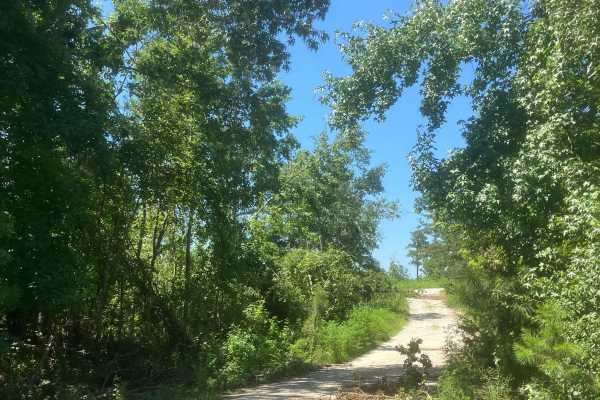
Mason Wildlife Trail South
The trail begins as gravel but quickly transitions to a dirt path with grass in the center. Located in a Wildlife Management Area used for hunting, it’s best to visit on Sundays when hunting is prohibited. Expect frequent small mud holes, as the trail can become very muddy. Taking the first right fo...
Learn more about Mason Wildlife Trail South
Beginner ATV trails near Riddleville, Georgia
Explore ATV-friendly trails near you. These trails are accessible for vehicles up to 50 inches wide, perfect for ATVs and smaller off-road machines.
Fury's Ferry Boat Ramp
This short trail takes you down to the South Carolina Side of the Savannah River. You will pass some very swampy areas on both sides of the road. If you stop looking at the wildlife, make sure you watch for Alligators. This is a great trail to hit if you are out for a day of exploring and want a ni...
Learn more about Fury's Ferry Boat Ramp
Hitchiti
Hitchiti is a well-maintained gravel trail. There's a bridge over scenic Falling Creek just after you pass through the gate. The trail then winds through an experimental demonstration area, mostly pines, where the US Forest Service evaluates various methods for sustaining and managing forests. The t...
Learn more about Hitchiti
Mason Wildlife Trail South
The trail begins as gravel but quickly transitions to a dirt path with grass in the center. Located in a Wildlife Management Area used for hunting, it’s best to visit on Sundays when hunting is prohibited. Expect frequent small mud holes, as the trail can become very muddy. Taking the first right fo...
Learn more about Mason Wildlife Trail South
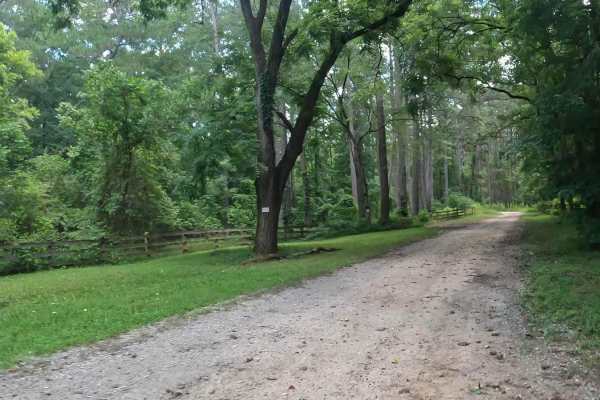
Penfield Hunt Camp Road
Penfield Hunt Camp Road is located in the Oconee National Forest. This road is mostly flat, with a few pothole exceptions. If you are traveling with a long trailer, drive slowly; the road is passable. At the end of the road, you'll find three fire rings, a large turnaround loop, a pit toilet, handic...
Learn more about Penfield Hunt Camp Road
Beginner UTV/side-by-side trails near Riddleville, Georgia
Find UTV and side-by-side trails near you. These trails accommodate vehicles up to 60 inches wide, ideal for UTVs, side-by-sides, and wider off-road rigs.
Fury's Ferry Boat Ramp
This short trail takes you down to the South Carolina Side of the Savannah River. You will pass some very swampy areas on both sides of the road. If you stop looking at the wildlife, make sure you watch for Alligators. This is a great trail to hit if you are out for a day of exploring and want a ni...
Learn more about Fury's Ferry Boat Ramp
Hitchiti
Hitchiti is a well-maintained gravel trail. There's a bridge over scenic Falling Creek just after you pass through the gate. The trail then winds through an experimental demonstration area, mostly pines, where the US Forest Service evaluates various methods for sustaining and managing forests. The t...
Learn more about Hitchiti
Mason Wildlife Trail South
The trail begins as gravel but quickly transitions to a dirt path with grass in the center. Located in a Wildlife Management Area used for hunting, it’s best to visit on Sundays when hunting is prohibited. Expect frequent small mud holes, as the trail can become very muddy. Taking the first right fo...
Learn more about Mason Wildlife Trail South
Penfield Hunt Camp Road
Penfield Hunt Camp Road is located in the Oconee National Forest. This road is mostly flat, with a few pothole exceptions. If you are traveling with a long trailer, drive slowly; the road is passable. At the end of the road, you'll find three fire rings, a large turnaround loop, a pit toilet, handic...
Learn more about Penfield Hunt Camp Road
The onX Offroad Difference
onX Offroad combines trail photos, descriptions, difficulty ratings, width restrictions, seasonality, and more in a user-friendly interface. Available on all devices, with offline access and full compatibility with CarPlay and Android Auto. Discover what you're missing today!
Open Trail Map