
Beginner Off-Road Trails
Near Ranger, Texas
Explore All Beginner Trails Near Ranger, Texas
Beginner Off-Road Trails Near Ranger, Texas
Discover the best beginner-friendly off-road trails near you. These easier, lower-rated trails are a great place to start — browse trail maps, check difficulty ratings, and find your next adventure.
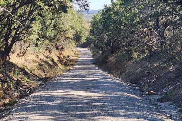
Tudor Loop / 107
This trail consists of narrow county roads along the Erath and Eastland county line that cruise along exotic game ranches, old ranches from the 1880s, and dispersed cemeteries from the settling of the area. The road surface ranges from caliche to crushed sandstone & granite to hard-packed gravel and...
Learn more about Tudor Loop / 107
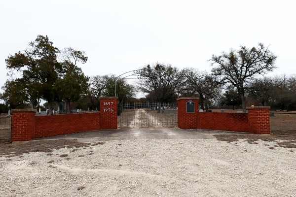
Priddy Windmills
Priddy Windmills is an easy, scenic dirt and gravel route perfect for beginners, families, and any vehicle looking for a relaxing cruise through the Texas countryside. Stretching approximately 12.6 miles through the Flat Top wind farm between Goldthwaite and Priddy, this trail offers drivers up-clos...
Learn more about Priddy Windmills
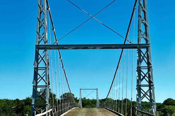
Regency Bridge (CR 433)
This is an easy gravel road that runs from FM 574 to FM 500. It's close to Goldthwaite, Brownwood, and San Saba, Texas. What makes the trail worth driving is the Regency Bridge which crosses the Colorado River. It is a single-lane suspension bridge with a wooden road deck, which was built in 1939 an...
Learn more about Regency Bridge (CR 433)
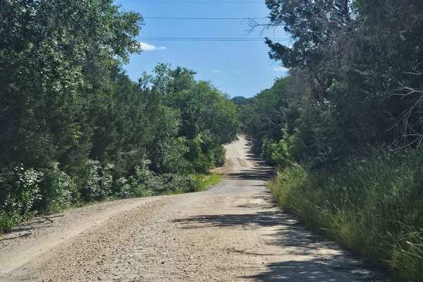
Bosque 1035
Typical central Texas dirt county road that only gets maintenance after rain washes it out. This is a nice side diversion to enjoy a few miles off of pavement while enjoying an old dirt road between old ranches. Drivers need to be aware of ranch and farm traffic on this tight road with sharp ditches...
Learn more about Bosque 1035
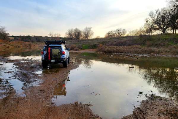
Goldthwaite Gallop
Beginning just south of the town of Goldthwaite, the trail begins at Ranch Road 3023 off of Hwy 16. A few miles of paved road abruptly ends and becomes a dirt road leading south towards Shaw Bend of the Colorado River. The long sweeping straightaways of the county road end after turning on to County...
Learn more about Goldthwaite Gallop
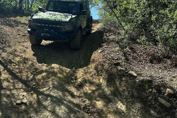
B-44
B-44 is a short, easy trail that branches off of B-26E Spider Web Loop. This trail starts with a loose, rocky, and slightly rutted descent that runs parallel to B-26 Spider Web Loop. After the descent, the trail winds through trees and leads to an intersection of B-26D Spider Web Loop and B-43 trail...
Learn more about B-44
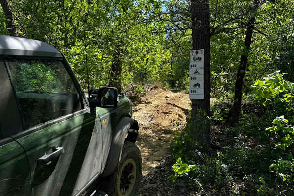
B-45
B-45 is a short intermediate trail that branches off of B-26D Spider Web Loop. This trail has a small, rocky, and narrow feature at the entry, which is the most difficult part of the trail. It then leads to a winding, off-camber climb that reconnects to Spider Web Loop Trail B-26E.
Learn more about B-45
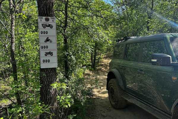
B-42
B-42 is a trail that connects north to south through the middle of B-26 Spider Web Loop and also provides access to B-43 trail. Along this trail, deep ruts have formed which can make passage difficult, especially during wet weather. Additionally, there are optional very deep mud holes on the trail, ...
Learn more about B-42
Beginner ATV trails near Ranger, Texas
Explore ATV-friendly trails near you. These trails are accessible for vehicles up to 50 inches wide, perfect for ATVs and smaller off-road machines.
B-44
B-44 is a short, easy trail that branches off of B-26E Spider Web Loop. This trail starts with a loose, rocky, and slightly rutted descent that runs parallel to B-26 Spider Web Loop. After the descent, the trail winds through trees and leads to an intersection of B-26D Spider Web Loop and B-43 trail...
Learn more about B-44
B-45
B-45 is a short intermediate trail that branches off of B-26D Spider Web Loop. This trail has a small, rocky, and narrow feature at the entry, which is the most difficult part of the trail. It then leads to a winding, off-camber climb that reconnects to Spider Web Loop Trail B-26E.
Learn more about B-45
B-42
B-42 is a trail that connects north to south through the middle of B-26 Spider Web Loop and also provides access to B-43 trail. Along this trail, deep ruts have formed which can make passage difficult, especially during wet weather. Additionally, there are optional very deep mud holes on the trail, ...
Learn more about B-42
Beginner UTV/side-by-side trails near Ranger, Texas
Find UTV and side-by-side trails near you. These trails accommodate vehicles up to 60 inches wide, ideal for UTVs, side-by-sides, and wider off-road rigs.
B-44
B-44 is a short, easy trail that branches off of B-26E Spider Web Loop. This trail starts with a loose, rocky, and slightly rutted descent that runs parallel to B-26 Spider Web Loop. After the descent, the trail winds through trees and leads to an intersection of B-26D Spider Web Loop and B-43 trail...
Learn more about B-44
B-45
B-45 is a short intermediate trail that branches off of B-26D Spider Web Loop. This trail has a small, rocky, and narrow feature at the entry, which is the most difficult part of the trail. It then leads to a winding, off-camber climb that reconnects to Spider Web Loop Trail B-26E.
Learn more about B-45
B-42
B-42 is a trail that connects north to south through the middle of B-26 Spider Web Loop and also provides access to B-43 trail. Along this trail, deep ruts have formed which can make passage difficult, especially during wet weather. Additionally, there are optional very deep mud holes on the trail, ...
Learn more about B-42
The onX Offroad Difference
onX Offroad combines trail photos, descriptions, difficulty ratings, width restrictions, seasonality, and more in a user-friendly interface. Available on all devices, with offline access and full compatibility with CarPlay and Android Auto. Discover what you're missing today!
Open Trail Map