
Beginner Off-Road Trails
Near Punta de Agua, New Mexico
Explore All Beginner Trails Near Punta de Agua, New Mexico
Beginner Off-Road Trails Near Punta de Agua, New Mexico
Discover the best beginner-friendly off-road trails near you. These easier, lower-rated trails are a great place to start — browse trail maps, check difficulty ratings, and find your next adventure.
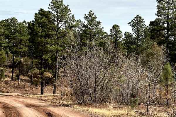
Red Canyon Campground
This is an easy route to the beautiful, well-shaded, and peaceful Red Canyon Campground. The campground is at 7,600 feet in elevation. It can accommodate RVs up to 22 feet. It is easy access to the Manzano Wilderness on the Red and Spruce Canyon trails on foot or horseback. The campground has corr...
Learn more about Red Canyon Campground
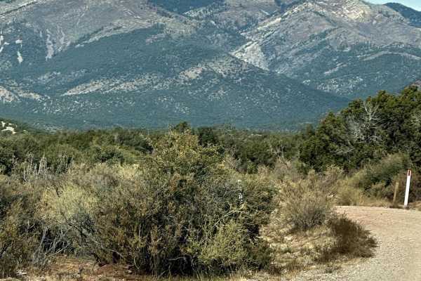
FS 422 Priest Canyon
This route travels through the southern tip of the Manzano Mountains and connects the village of Manzano on State Highway 131 with State Highway 60. It travels along a right-of-way through private property on both ends before entering the Cibola Forest. The trail can be dusty and has a few low water...
Learn more about FS 422 Priest Canyon
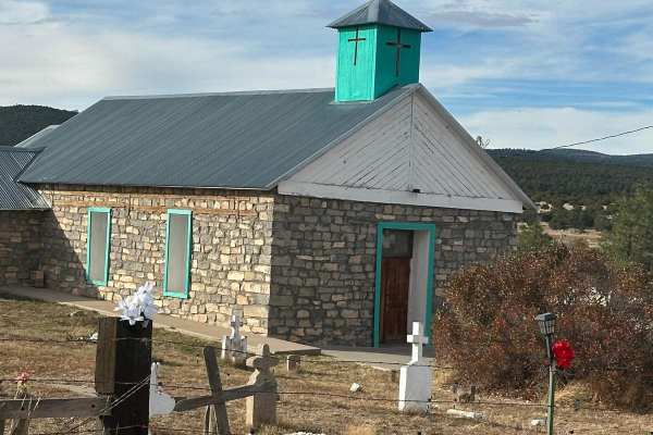
Fourth of July Campground
This route leads to the premier area to see the Big Tooth Maple in the Manzano Mountains. It is the largest stand of maples in New Mexico. The road is easy but narrow in spots. Camping is available from April through November for tents and tent trailers. There is also a parking area for some short h...
Learn more about Fourth of July Campground
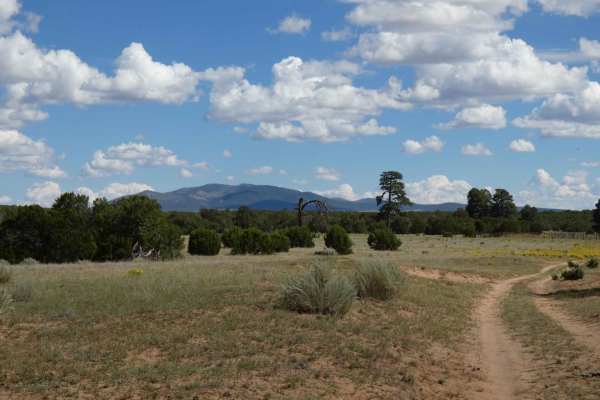
Clarion Course
Clarion Course is one of the more clear-cut trails in the area and shows more signs of use than many of the others. The trail surface is a combination of dirt, sand, and rocks but does not have any obstacles larger than 10 inches. There are sections with minor rutting and some off-camber turns, howe...
Learn more about Clarion Course
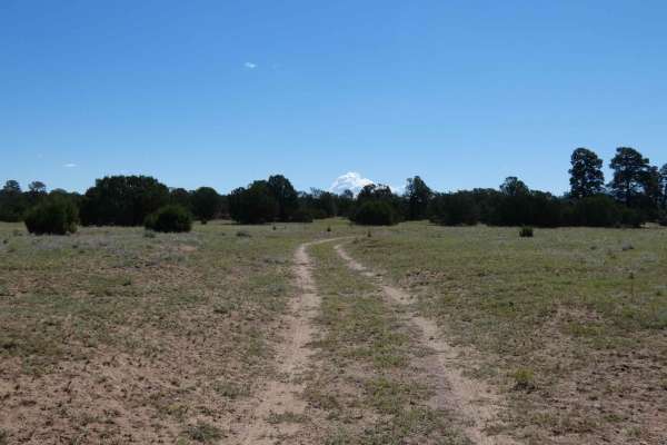
Sandwash
Sandwash is a trail that is exactly as named, beginning as a dirt hard-pack trail that quickly changes to a sandy wash track. As the trail begins to descend, it narrows to single-vehicle-width and changes from dirt to soft sand with one small rock garden hidden in the sand. The trail is easily trave...
Learn more about Sandwash
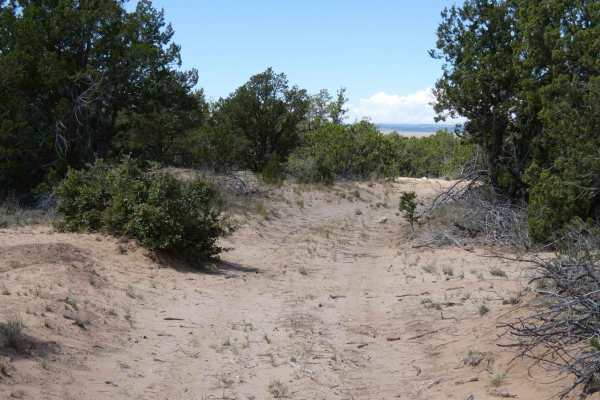
Wandering Wake
Wandering Wake is a trail that shows minimal signs of use and is very primitive with no signs of maintenance being performed. The surface changes frequently from dirt to sand with some smaller rocky sections scattered through the length of the trail. While there are no large obstacles along the trai...
Learn more about Wandering Wake
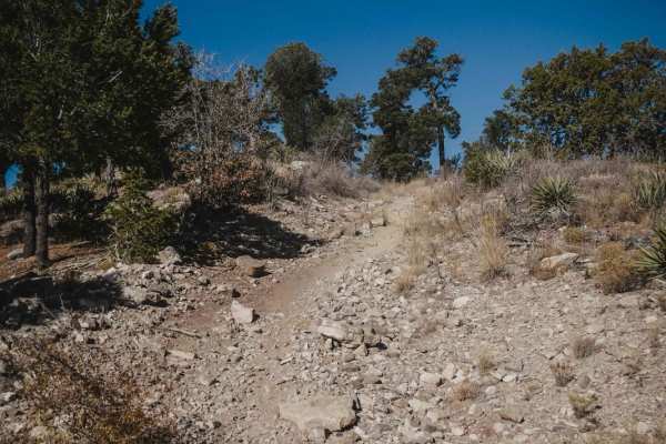
106 Road
106 Road is a dirt bike trail in the Manzanita Mountain Trail System near Albuquerque, New Mexico. It runs south to north and is a quick way to connect the southern trails to ones farther north. The southern half of the trail is a mix of old road and single track. There are rocky spots with tons of ...
Learn more about 106 Road
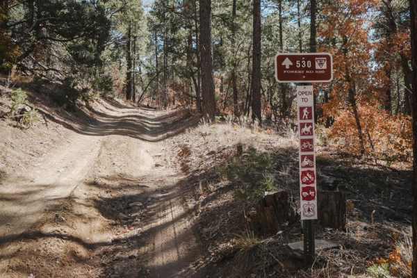
530 Road
530 Road is an old dirt road that is closed to motor vehicles other than motorcycles. It's super easy the whole way, being a smooth dirt road with only a couple of spots where there is flat embedded rock slab. The east end starts at the Mars Court Trailhead with space for horse trailers and several ...
Learn more about 530 Road
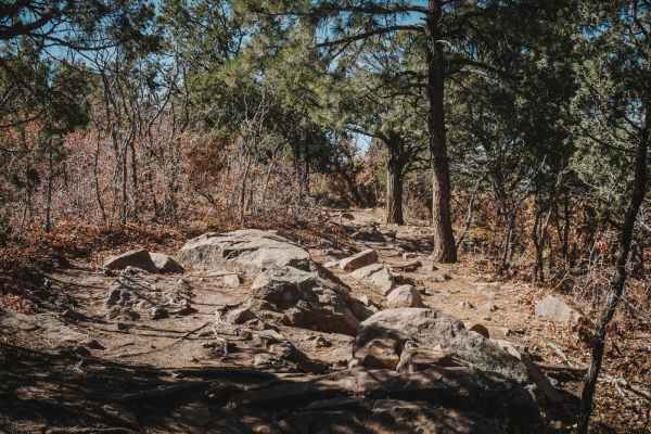
Easy Pickin
This is an easy single track on the south end of the Manzanita Mountain Trail System. It starts on the east side as a wide and smooth dirt trail similar to the southern beginning of Mahogany. It's wide like an ATV trail with one section of embedded chunky rock, but they're small and flat rocks so it...
Learn more about Easy Pickin
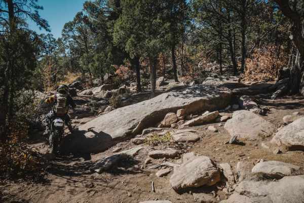
Cajun Pine
Cajun Pine is an easy trail in the Cibola National Forest near Albuquerque, New Mexico. For the most part, it's easy, with a few spots of embedded rock slabs, loose rocks, and small ledges. The south end is pretty full of loose chunky rocks and tight curves through the pine trees. It intersects with...
Learn more about Cajun Pine
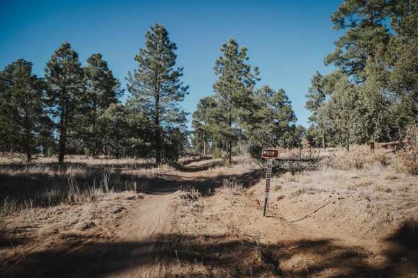
Drop In
Drop In is a fast and easy single track in the Manzanita Mountain Trail System by Albuquerque, New Mexico. This trail starts and ends off of 106 Road, which is also easy. It has fast sections on smooth dirt, and a few sections with some chunky rock, but has no big ledges or obstacles. It goes throug...
Learn more about Drop In
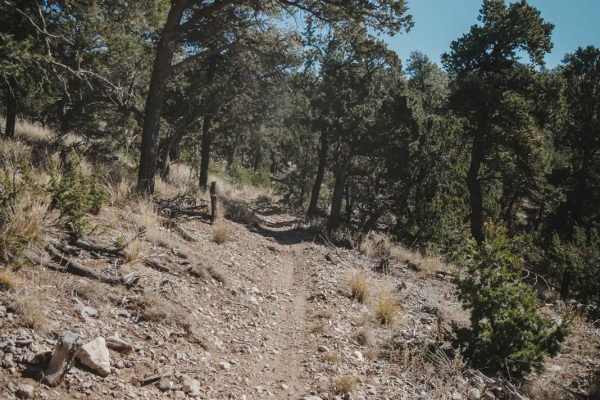
West Boundary
West Boundary is an easy single track in the Manzanita Mountain Trail System that goes north to south along the west boundary of this OHV area in the Cibola National Forest. The land on the west side of this trail belongs to the US Air Force, and there are signs every 50 feet stating not to enter be...
Learn more about West Boundary
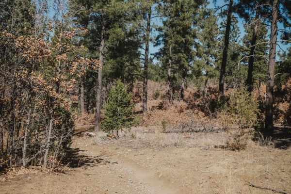
Caida del Pino
This is a short trail that connects Gamble Oak to Easy Pickin. It's pretty wide like an ATV trail for the entire 0.6 miles, meandering through an oak and pine forest, with small rocks embedded in the dirt. Unlike many of the surrounding trails, this one has no big rock ledges or obstacles, making it...
Learn more about Caida del Pino
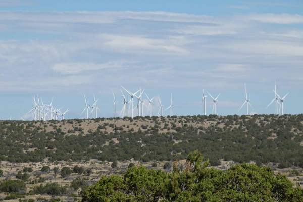
Windmill Way
Windmill Way has a decent variety of terrain along its route. Composed of a combination of soft sand, dirt, and rocks, the trail winds its way to the southwest giving views of the surrounding mountains and a plateau to the north full of wind turbines. There are no obstacles larger than 10 inches alo...
Learn more about Windmill Way
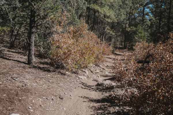
Pine Flat Connector
Pine Flat Connector starts on the north end at a large trailhead with pull-through parking spaces for trailers. It starts out as a very wide dirt road, then narrows up into a single track and drops down to the intersection with Deadman on a smooth dirt trail. From here, you can continue to climb up ...
Learn more about Pine Flat Connector
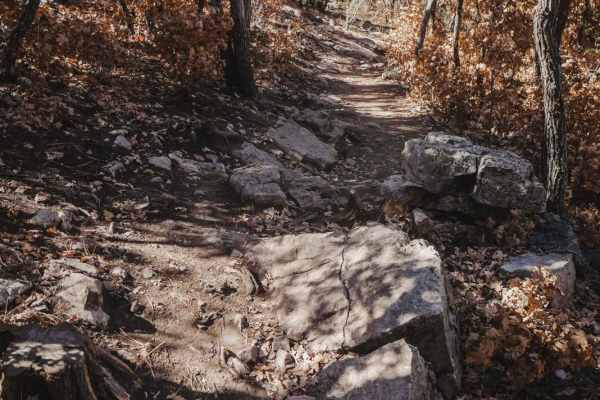
Gamble Oak
Gamble Oak is a 2.2-mile single-track trail that makes a semi-loop with Poker Chip and Mahogany. The north end starts off with Poker Chip and starts out super easy in a gamble oak forest. It crosses several intersections, all of which all well marked, so the trail is easy to follow. It starts to hav...
Learn more about Gamble Oak
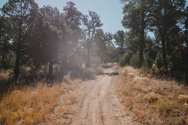
Mahogany
Mahogany starts on the north end from a large dirt staging area off of Juan Tomas Road with plenty of places to park, across from the entrance to the Bear Scat trail. Going south, it starts as a super-fast, smooth, and flowy trail. It's very easy, and sometimes as wide as a road, with light curves. ...
Learn more about Mahogany

Otero Canyon
Otero Canyon is a really fun and easy trail in the Manzanita Mountain Trail System by Albuquerque, New Mexico. This one is scenic, fast, and flowy, with a few rocky sections. It starts from the north at the Otero Trailhead, which is a big pull-off on Highway 337 with space for lots of vehicles. You ...
Learn more about Otero Canyon
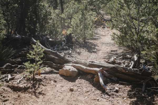
Middle
Middle is one of the easier single tracks in the Manzanita Mountain Trail System, without any big rock ledges. It just has sections of loose rock and embedded slab but no big obstacles. It still has some technical features like very tight turns through the pinyon pine trees and lots of curves. This ...
Learn more about Middle
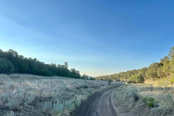
Meadow Ridge Alternate Pass
Meadow Ridge Alternate Pass is a scenic dirt bypass, or an alternate trail, featuring dusty sections, loose rock, and occasional off-camber areas. There may be wildlife sightings, including deer, possibly along the route. This is moderate terrain with a mix of open dirt sections, rocky areas, off-ca...
Learn more about Meadow Ridge Alternate Pass
Beginner ATV trails near Punta de Agua, New Mexico
Explore ATV-friendly trails near you. These trails are accessible for vehicles up to 50 inches wide, perfect for ATVs and smaller off-road machines.
Red Canyon Campground
This is an easy route to the beautiful, well-shaded, and peaceful Red Canyon Campground. The campground is at 7,600 feet in elevation. It can accommodate RVs up to 22 feet. It is easy access to the Manzano Wilderness on the Red and Spruce Canyon trails on foot or horseback. The campground has corr...
Learn more about Red Canyon Campground
FS 422 Priest Canyon
This route travels through the southern tip of the Manzano Mountains and connects the village of Manzano on State Highway 131 with State Highway 60. It travels along a right-of-way through private property on both ends before entering the Cibola Forest. The trail can be dusty and has a few low water...
Learn more about FS 422 Priest Canyon
Fourth of July Campground
This route leads to the premier area to see the Big Tooth Maple in the Manzano Mountains. It is the largest stand of maples in New Mexico. The road is easy but narrow in spots. Camping is available from April through November for tents and tent trailers. There is also a parking area for some short h...
Learn more about Fourth of July Campground
Clarion Course
Clarion Course is one of the more clear-cut trails in the area and shows more signs of use than many of the others. The trail surface is a combination of dirt, sand, and rocks but does not have any obstacles larger than 10 inches. There are sections with minor rutting and some off-camber turns, howe...
Learn more about Clarion Course
Beginner UTV/side-by-side trails near Punta de Agua, New Mexico
Find UTV and side-by-side trails near you. These trails accommodate vehicles up to 60 inches wide, ideal for UTVs, side-by-sides, and wider off-road rigs.
Red Canyon Campground
This is an easy route to the beautiful, well-shaded, and peaceful Red Canyon Campground. The campground is at 7,600 feet in elevation. It can accommodate RVs up to 22 feet. It is easy access to the Manzano Wilderness on the Red and Spruce Canyon trails on foot or horseback. The campground has corr...
Learn more about Red Canyon Campground
FS 422 Priest Canyon
This route travels through the southern tip of the Manzano Mountains and connects the village of Manzano on State Highway 131 with State Highway 60. It travels along a right-of-way through private property on both ends before entering the Cibola Forest. The trail can be dusty and has a few low water...
Learn more about FS 422 Priest Canyon
Fourth of July Campground
This route leads to the premier area to see the Big Tooth Maple in the Manzano Mountains. It is the largest stand of maples in New Mexico. The road is easy but narrow in spots. Camping is available from April through November for tents and tent trailers. There is also a parking area for some short h...
Learn more about Fourth of July Campground
Clarion Course
Clarion Course is one of the more clear-cut trails in the area and shows more signs of use than many of the others. The trail surface is a combination of dirt, sand, and rocks but does not have any obstacles larger than 10 inches. There are sections with minor rutting and some off-camber turns, howe...
Learn more about Clarion Course
The onX Offroad Difference
onX Offroad combines trail photos, descriptions, difficulty ratings, width restrictions, seasonality, and more in a user-friendly interface. Available on all devices, with offline access and full compatibility with CarPlay and Android Auto. Discover what you're missing today!
Open Trail Map