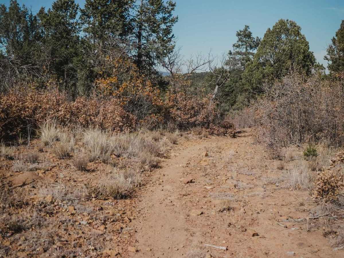
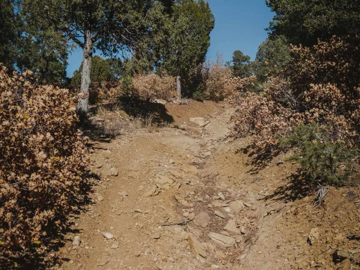
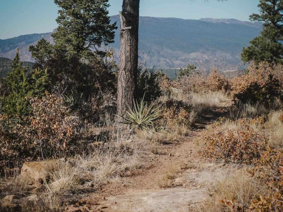
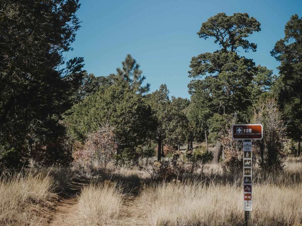
Trail Overview
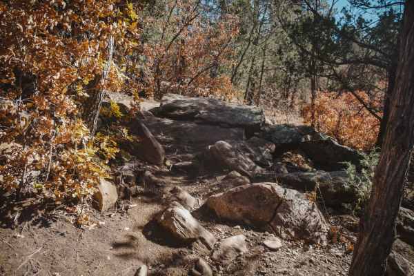
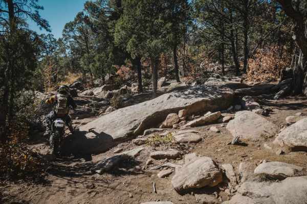
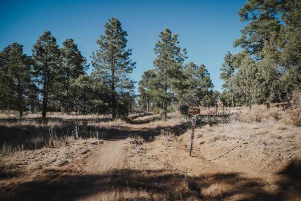
106 Road is a dirt bike trail in the Manzanita Mountain Trail System near Albuquerque, New Mexico. It runs south to north and is a quick way to connect the southern trails to ones farther north. The southern half of the trail is a mix of old road and single track. There are rocky spots with tons of loose cobble, but these are in the wider sections of the trail where it's not too hard because you can pick the best line through the rocks. This trail is unique because it goes up on the ridgeline above the West Boundary trail. Most of the trails in this area are down in a gulch or at the bottom of the forest floor, so this one is unique because it rides along a ridgeline with a view of the mountains. The second half after the intersection with Cajun Pine is wider and rockier. There is one steeper downhill going north that is full of loose cobble and a bit trickier. There is one log down, but it has sticks built up for a ramp, so it's not too hard. It turns into more of a narrow single track after the intersection with Drop In. The very northern section is a dead end that doesn't lead to anything. Most riders will probably stop the trail at the intersection with Blue Ribbon.