
Beginner Off-Road Trails
Near Pima, Arizona
Explore All Beginner Trails Near Pima, Arizona
Beginner Off-Road Trails Near Pima, Arizona
Discover the best beginner-friendly off-road trails near you. These easier, lower-rated trails are a great place to start — browse trail maps, check difficulty ratings, and find your next adventure.
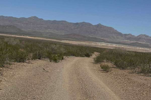
Sa1015
The trail begins at the cemetery on a gravel road lined with desert creosote, offering northern views of the Mine and Slaughter Mountain. After a red gate—which should remain closed—the trail becomes more natural with larger river rocks and smooth stones. High clearance 2WD is sufficient, and while ...
Learn more about Sa1015
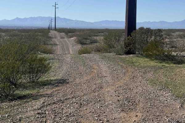
Zsa1259
Zsa1259 is a section of powerline road featuring a “rollercoaster” style route with lots of bumps and whoops—take it slow, as hitting the bottoms of the hills too fast can damage your vehicle. The trail offers scenic views of Mount Graham, Weber Peak, and the nearby mine. This short section connects...
Learn more about Zsa1259
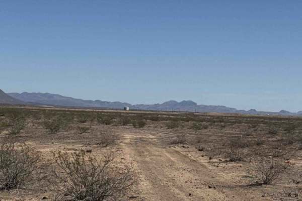
Sa1061
Trail Sa1061 begins off Sa1059 and runs as an out-and-back dirt route across open desert. There are a few campsites on the west side of the trail, marked with camp rings. The route includes minor washouts that are easy to navigate, with nothing technical. The trail runs alongside a landfill that bor...
Learn more about Sa1061
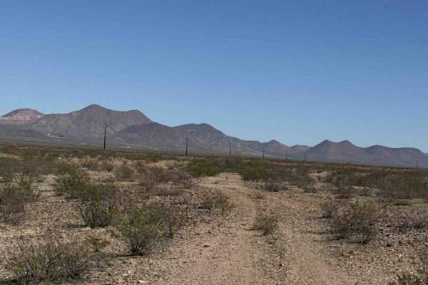
Sa1065
Sa1065 starts at Sa1059 and runs north-south as a natural gravel trail. It offers scenic views of Mount Graham to the south, Weber Peak to the north, and a nearby mine. The trail is very natural, so pay close attention to the tracks, you can get off course quickly. The north half becomes heavily ove...
Learn more about Sa1065

Sa1026
Sa1026 is an out-and-back or connects to Sa1024, runs parallel to Sa1024, and connects to it near a water tank at the end of the trail. Wide desert track with heavy cow traffic. The surface is rocky and bumpy with sections of large, embedded rocks, but nothing technical. Several mild wash crossings,...
Learn more about Sa1026
Sa1059
Trail Sa1059 begins off Sa1067 and runs north to south along a fairly primitive route. The trail is overgrown in sections, with a few larger gravel rocks, but remains easy to navigate overall. Running south offers scenic views of Mount Graham. Expect pinstripes along the sides and possible light bel...
Learn more about Sa1059
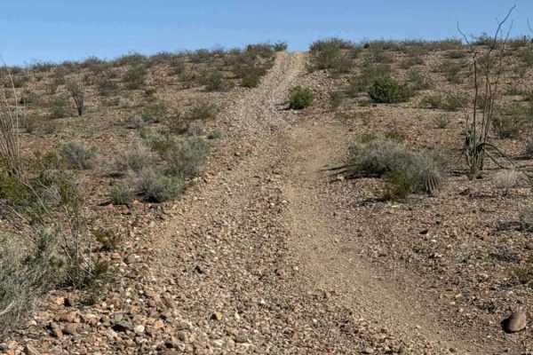
Sa1069
Trail SA1069 begins at the end of SA1070 and serves as a connector track within this trail network, leading to the northernmost point in the system. The trail surface starts as rocky gravel and transitions into larger rocks as you progress. It’s a single-vehicle-wide route suitable for 2WD in dry co...
Learn more about Sa1069

Sa1001
Sa1001 is a connector trail linking Fh1099 and Sa1004 at the top and bottom. This rocky route is wide enough for a full-size 4x4 but is not recommended for low-clearance vehicles. The trail may become impassable in bad weather. It offers beautiful views of Mount Graham in the Coronado National Fore...
Learn more about Sa1001
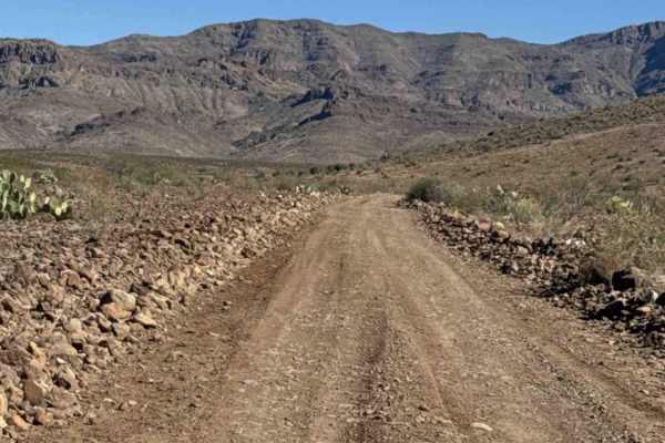
Sa1004
Sa1004 is a point-to-point trail running from Fh1095 to private property, connecting several other trails in the area. The trail is wide and easily driven, suitable for all vehicles with high clearance. From Fh1095, the route climbs out of a wash onto Sa1004. The surface is a rocky gravel road with...
Learn more about Sa1004
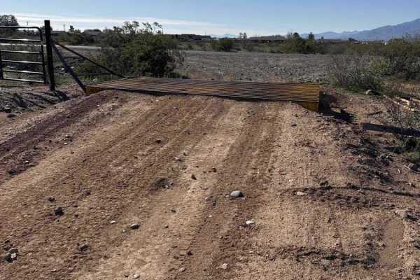
Sa1070
Trail Sa1070 starts off Airport Road, just past the cattle guard, and runs north. The surface is mostly dirt and gravel, with some overgrown sections that may cause light pinstriping. The trail features plenty of small inclines and descents, but nothing technical—making it a fun and beginner-friendl...
Learn more about Sa1070
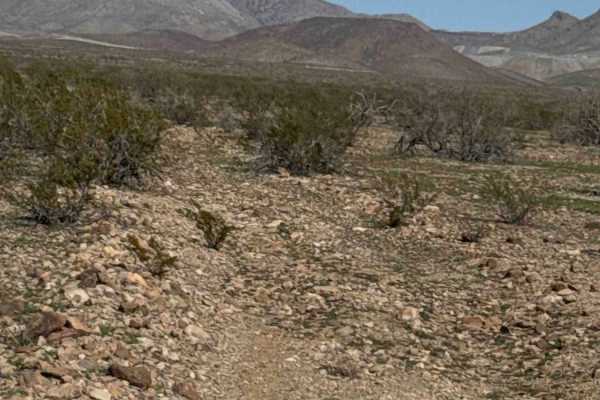
Sa1067
Tail Sa1067 begins off Sa1068 and immediately requires navigating down into a wash and back out over large gravel rocks. This is primarily a wash road, and you can clearly see that the route is shaped by the natural flow of water toward the creek. Not advisable in heavy rain. This area is prone to f...
Learn more about Sa1067
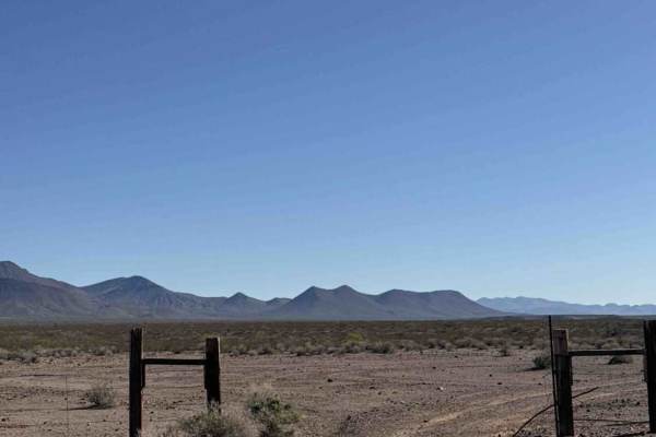
Sa1068
Trail Sa1068 is a point-to-point route running along a fence line and connecting Sa1069 and Sa1071 within the trail system. The trail is overgrown in sections, so pinstripes are likely, with possible light underbody contact. It offers scenic views of Mount Graham, as well as views of the nearby mine...
Learn more about Sa1068
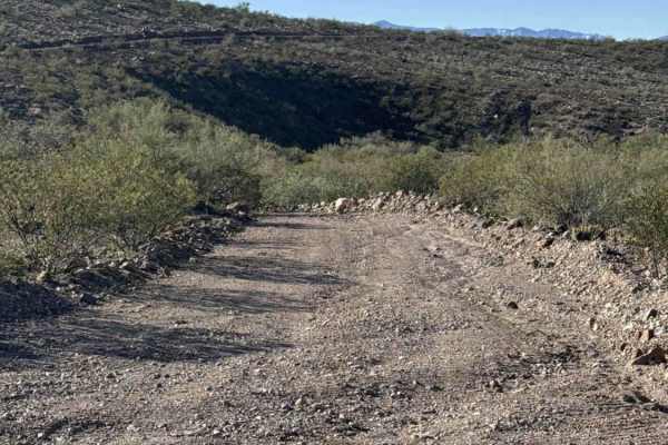
Sa1003
Sa1003 Trail is a point-to-point connector trail that links to unmapped wash trails. The route is mostly on BLM land, but does pass through a small section of State Trust land; a permit is required for that portion. The trail is a rocky gravel road, wide enough for a full-size vehicle, with rocky be...
Learn more about Sa1003
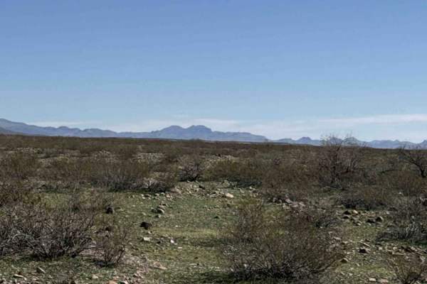
Sa1071
Trail Sa1071 is a challenging point-to-point route that eventually ends at Sa1071A. This trail is rough, fully natural, and extremely overgrown—it appears it hasn’t seen regular travel in many years. Expect full-size trees, rocks, and thick shrubs blocking portions of the trail. In many places, the ...
Learn more about Sa1071

Sa1073
Trail Sa1073 is a connector trail within the system. It can be run southbound for a beautiful view of Mount Graham. The northern end terminates at a private property locked gate, while the southern end connects to Airport Road. Along the route, you’ll pass a large water tank and power lines. The tra...
Learn more about Sa1073
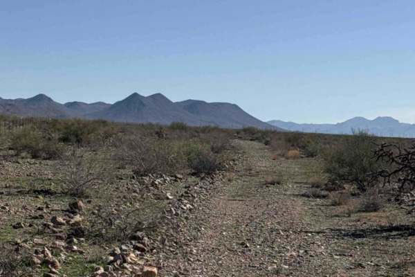
Sa1072
Trail Sa1072 is a point-to-point connector trail with a rocky gravel surface. Expect overgrown vegetation causing pinstripes along the sides and occasional belly scrapes. The route follows along a private property fence line for much of its length. The trail crosses a highly overgrown wash that appe...
Learn more about Sa1072
Sa1007
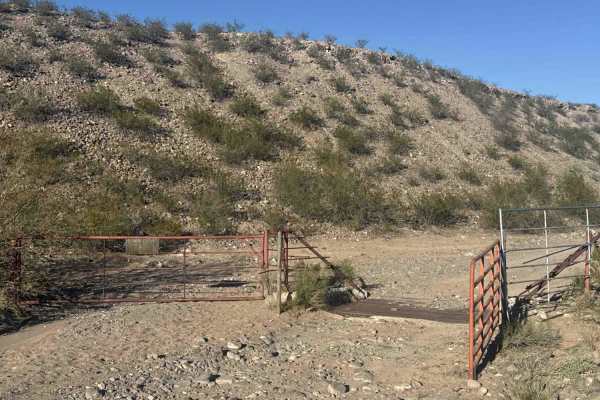
SA1007 is the main access trail into this trail system. This point-to-point route begins off Black Point Road, which starts from Main Street in Pima, Arizona. The entrance is easy to miss—a narrow passage between private property with a gate, cattle guard, and a warning sign indicating a primitive r...
Learn more about Sa1007

Sa1023
Sa1023 is an out-and-back trail that also serves as a connector to other trails in the area. The route follows a wide, rocky, and rutted track and is suitable for high-clearance vehicles. The trail offers excellent views of Mount Graham and Pima, Arizona, and connects to Sa1004 and Sa1020, with all ...
Learn more about Sa1023
Sa1075
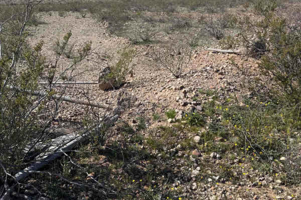
Sa1075 begins on the east side of Sa1074 and runs south as an out-and-back trail, ending at private property. The sandy gravel road offers beautiful views of Mount Graham to the south. The trail is mostly flat but can be tricky to navigate due to overgrowth, green grass, and pinstripe hazards, espec...
Learn more about Sa1075

Sa1074
Trail Sa1074 is a point-to-point route beginning at Sa1073 and running east. It ends at a private property fence line and connects to Sa1075. Near the east end, there is a large washout. It’s easy to navigate around, but you’ll need to pay attention as you approach it. The trail is mostly a wide gra...
Learn more about Sa1074
Beginner ATV trails near Pima, Arizona
Explore ATV-friendly trails near you. These trails are accessible for vehicles up to 50 inches wide, perfect for ATVs and smaller off-road machines.
Sa1015
The trail begins at the cemetery on a gravel road lined with desert creosote, offering northern views of the Mine and Slaughter Mountain. After a red gate—which should remain closed—the trail becomes more natural with larger river rocks and smooth stones. High clearance 2WD is sufficient, and while ...
Learn more about Sa1015
Zsa1259
Zsa1259 is a section of powerline road featuring a “rollercoaster” style route with lots of bumps and whoops—take it slow, as hitting the bottoms of the hills too fast can damage your vehicle. The trail offers scenic views of Mount Graham, Weber Peak, and the nearby mine. This short section connects...
Learn more about Zsa1259
Sa1061
Trail Sa1061 begins off Sa1059 and runs as an out-and-back dirt route across open desert. There are a few campsites on the west side of the trail, marked with camp rings. The route includes minor washouts that are easy to navigate, with nothing technical. The trail runs alongside a landfill that bor...
Learn more about Sa1061
Sa1065
Sa1065 starts at Sa1059 and runs north-south as a natural gravel trail. It offers scenic views of Mount Graham to the south, Weber Peak to the north, and a nearby mine. The trail is very natural, so pay close attention to the tracks, you can get off course quickly. The north half becomes heavily ove...
Learn more about Sa1065
Beginner UTV/side-by-side trails near Pima, Arizona
Find UTV and side-by-side trails near you. These trails accommodate vehicles up to 60 inches wide, ideal for UTVs, side-by-sides, and wider off-road rigs.
Sa1015
The trail begins at the cemetery on a gravel road lined with desert creosote, offering northern views of the Mine and Slaughter Mountain. After a red gate—which should remain closed—the trail becomes more natural with larger river rocks and smooth stones. High clearance 2WD is sufficient, and while ...
Learn more about Sa1015
Zsa1259
Zsa1259 is a section of powerline road featuring a “rollercoaster” style route with lots of bumps and whoops—take it slow, as hitting the bottoms of the hills too fast can damage your vehicle. The trail offers scenic views of Mount Graham, Weber Peak, and the nearby mine. This short section connects...
Learn more about Zsa1259
Sa1061
Trail Sa1061 begins off Sa1059 and runs as an out-and-back dirt route across open desert. There are a few campsites on the west side of the trail, marked with camp rings. The route includes minor washouts that are easy to navigate, with nothing technical. The trail runs alongside a landfill that bor...
Learn more about Sa1061
Sa1065
Sa1065 starts at Sa1059 and runs north-south as a natural gravel trail. It offers scenic views of Mount Graham to the south, Weber Peak to the north, and a nearby mine. The trail is very natural, so pay close attention to the tracks, you can get off course quickly. The north half becomes heavily ove...
Learn more about Sa1065
The onX Offroad Difference
onX Offroad combines trail photos, descriptions, difficulty ratings, width restrictions, seasonality, and more in a user-friendly interface. Available on all devices, with offline access and full compatibility with CarPlay and Android Auto. Discover what you're missing today!
Open Trail Map