
Beginner Off-Road Trails
Near Panola, Alabama
Explore All Beginner Trails Near Panola, Alabama
Beginner Off-Road Trails Near Panola, Alabama
Discover the best beginner-friendly off-road trails near you. These easier, lower-rated trails are a great place to start — browse trail maps, check difficulty ratings, and find your next adventure.
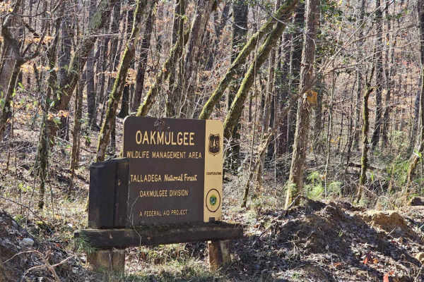
Bishop Road - FS 707
FS-707 / Bishop Road is in the Talladega National Forest. It also forms part of the northern edge of the Oakmulgee Wildlife Management Area (WMA). During hunting season, be aware of and respectful toward hunters who will likely be in the area. Additionally, only road-legal, “plated” vehicles are all...
Learn more about Bishop Road - FS 707
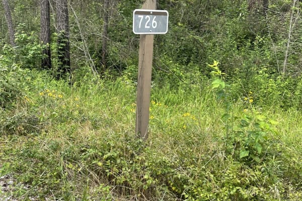
USFS 726 - Phalen Spur
USFS 726, also known as Phalen Spur, is an easy, scenic route designed for beginners, families, and overlanders looking for a relaxed journey through the dense woodlands of Alabama. Serving as a crucial north-south corridor through the heart of the Oakmulgee Wildlife Management Area within the Talla...
Learn more about USFS 726 - Phalen Spur
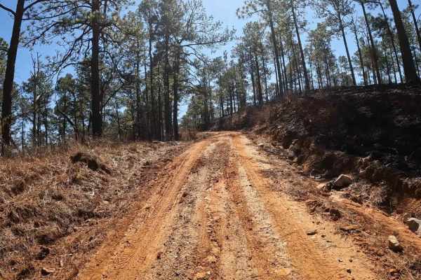
FS 723
While FS 723 is located in the Talladega National Forest, it’s also situated within the Oakmulgee Wildlife Management Area (WMA). During hunting season, be aware of and respectful toward hunters who will likely be in the area. Additionally, only road-legal, “plated” vehicles are allowed in this area...
Learn more about FS 723
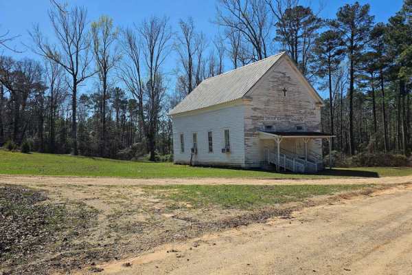
FS 700
FS 700 sits within the Talladega National Forest, with the northern two-thirds of the route passing through the Oakmulgee Wildlife Management Area (WMA). Only street-legal, "plated" vehicles are allowed on this route. The southern entry is paved but transitions to dirt upon entering the Talladega Na...
Learn more about FS 700
FS 742
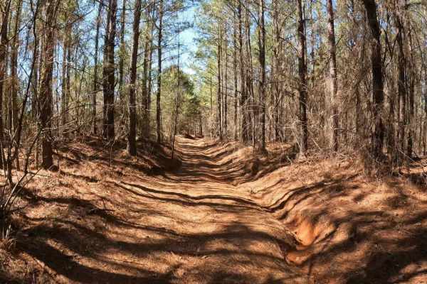
FS 742 connects FS 743 in the southeast with County Road 44 in the northwest. Only street-legal “plated” vehicles are allowed. Travelling northwest from FS 743, it begins as a well-graded gravel road, which gently runs through a forest of small pines mixed with a few small hardwoods. Things start of...
Learn more about FS 742
Warrior Cemetery Road
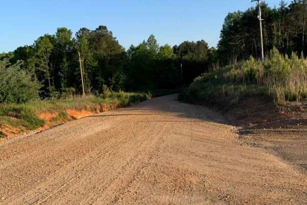
Warrior Cemetery Road is an easy, scenic 5.8-mile route through Alabama's Mulberry Fork Wildlife Management Area, offering a perfect entry point for beginners, families, and outdoor enthusiasts seeking a relaxed day of exploring. As one of the primary access corridors in the WMA, this route features...
Learn more about Warrior Cemetery Road
Camp Creek
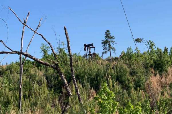
An out and back trail offering access to Mulberry Fork WMA. There are opportunities for hunting, fishing, and photography, as well as a great lunch spot overlooking Bankhead Lake on the Black Warrior River at the end. There are several seasonal trails that are accessible from this trail.
Learn more about Camp Creek
Vick Road - FS 412
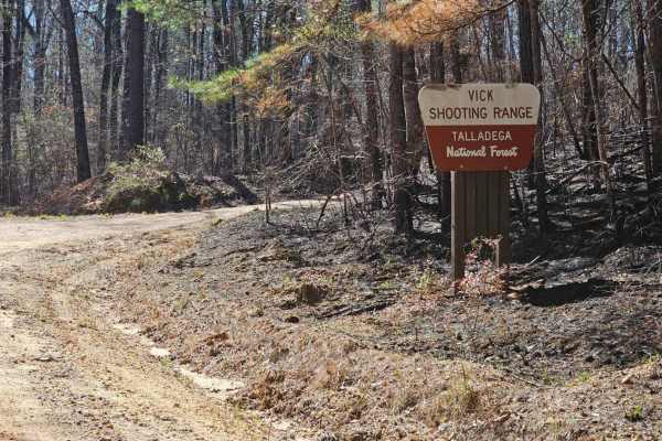
FS 412 is a fairly short, well-maintained service road through the Talladega National Forest. Motor vehicle use in the Talladega National Forest is limited to street-legal “plated” vehicles. One of the interesting things about this trail is that it provides access to a public shooting range and also...
Learn more about Vick Road - FS 412
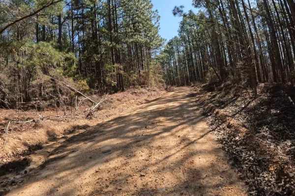
Maud Road - FS 423
FS 423 is a relatively short trail that crosses a portion of the Talladega National Forest near Centreville, Alabama. Highway 82 provides easy access from the north. Within the Talladega National Forest, camping is not truly dispersed; it must be done at a handful of designated primitive camping are...
Learn more about Maud Road - FS 423
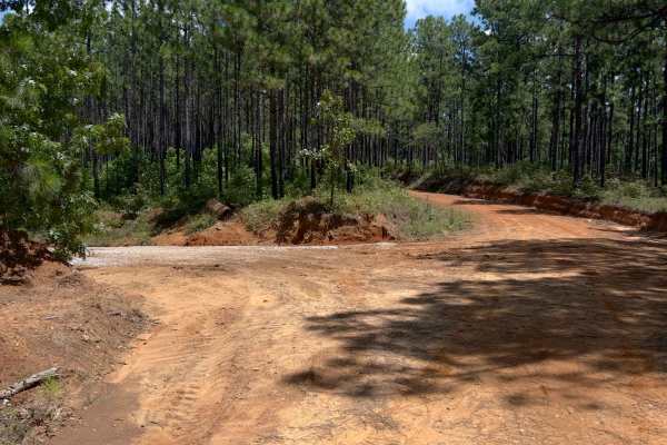
O'Neal - FS 418
Oneal, also known as FS 418 is a forest service road in the Talladega National Forest. It does get some serious washes at times. The forest service was out making repairs and installing water drainage culverts while we were there. A fun little road turning up thru the hills. Look out for washes, rut...
Learn more about O'Neal - FS 418
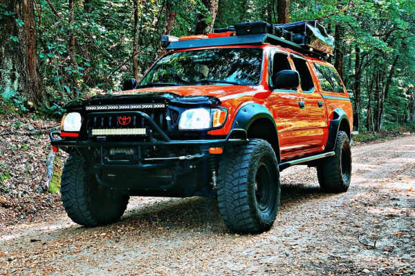
Black Cat Bottom
Black Cat Bottom is an easy-going, 3.8-mile off-road trail near Aberdeen, Mississippi, that is perfect for beginners and scenic cruisers looking for a relaxing drive through lush southern woodlands. Starting off State Highway 6, this flat route features a primarily dirt and gravel surface with a min...
Learn more about Black Cat Bottom
Beginner ATV trails near Panola, Alabama
Explore ATV-friendly trails near you. These trails are accessible for vehicles up to 50 inches wide, perfect for ATVs and smaller off-road machines.
Beginner UTV/side-by-side trails near Panola, Alabama
Find UTV and side-by-side trails near you. These trails accommodate vehicles up to 60 inches wide, ideal for UTVs, side-by-sides, and wider off-road rigs.
The onX Offroad Difference
onX Offroad combines trail photos, descriptions, difficulty ratings, width restrictions, seasonality, and more in a user-friendly interface. Available on all devices, with offline access and full compatibility with CarPlay and Android Auto. Discover what you're missing today!
Open Trail Map