Black Cat Bottom

Total Miles3.8
Technical Rating
2Easy
Best TimeSpring, Summer, Fall, Winter
Trail TypeFull-Width Road
Accessible By
Open Trail Map

Trail Overview

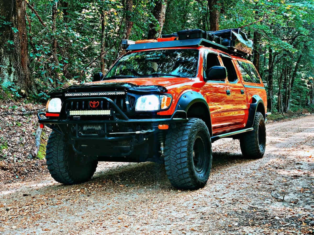
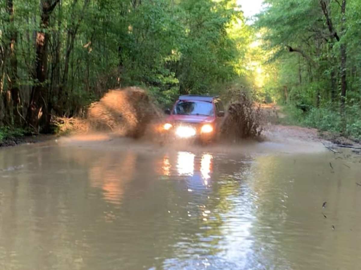
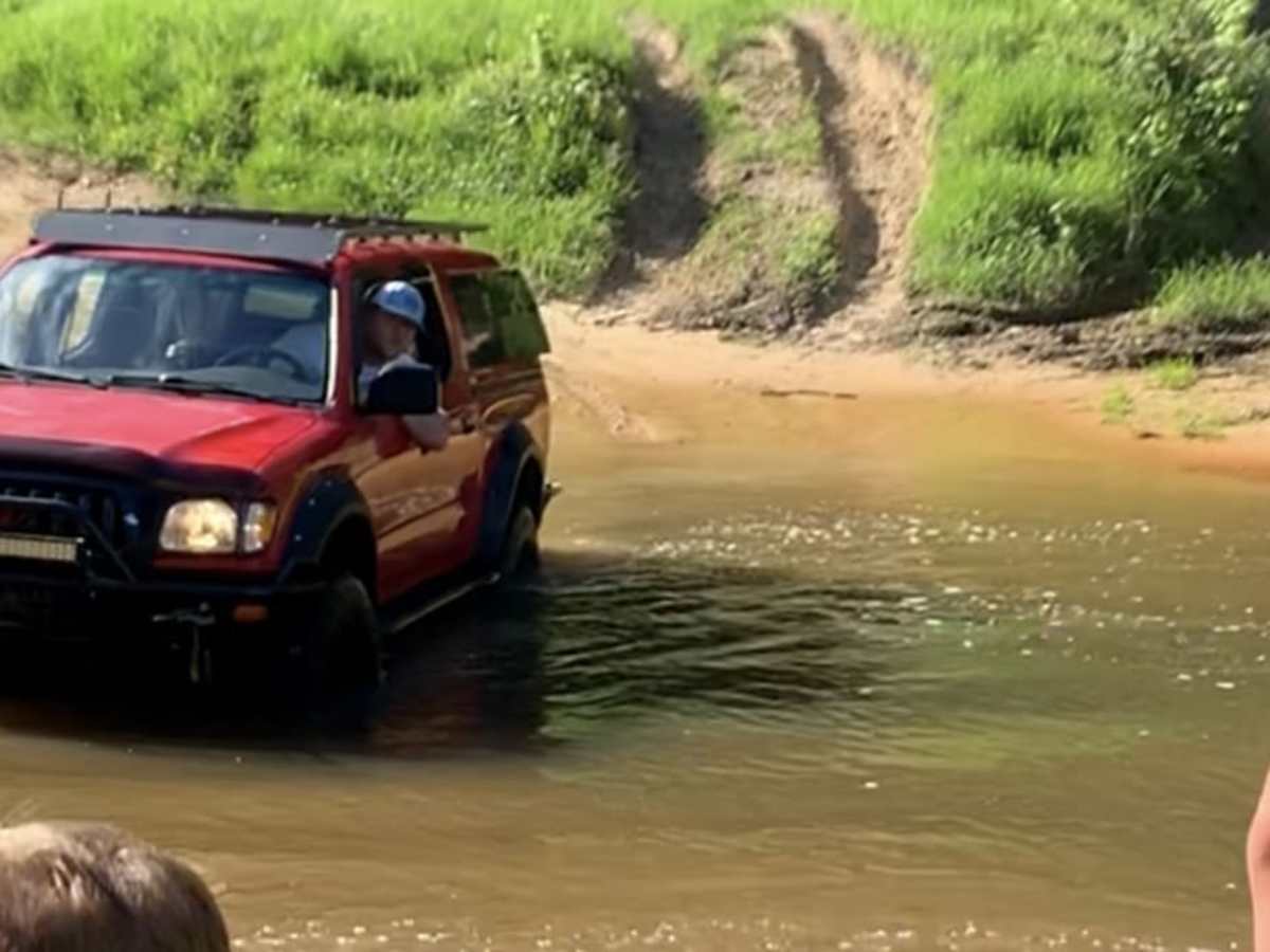
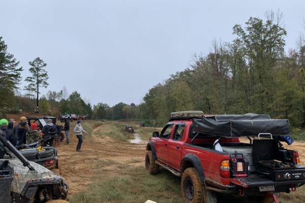
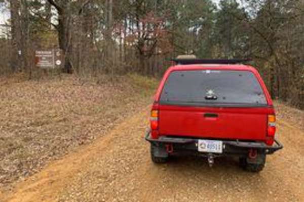
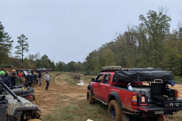
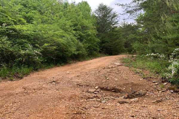
Black Cat Bottom is an easy-going, 3.8-mile off-road trail near Aberdeen, Mississippi, that is perfect for beginners and scenic cruisers looking for a relaxing drive through lush southern woodlands. Starting off State Highway 6, this flat route features a primarily dirt and gravel surface with a minimal 20 feet of elevation gain. The trail has a low technical difficulty rating but offers an engaging drive with several water crossings, including one featuring a small, scenic waterfall. Capable stock SUVs and high-clearance four-wheel-drive vehicles can easily manage the terrain under normal conditions. Weather plays a significant role in the trail's overall difficulty, as heavy rainfall can quickly create deep mud holes and generate additional water crossings farther down the route. Because the surrounding forest lands are privately owned by local hunting clubs and managed as wildlife conservation areas, drivers must remain strictly on the designated path and respect all marked boundaries. The route begins just off State Highway 6 near the Aberdeen Lagoon Dam, winds northeast through dense tree cover, and ends near the West Levee Service Road. Four-wheel drive is recommended when wet conditions are present, as the dirt and gravel can become slick and muddy.

Photos of Black Cat Bottom

Difficulty

Mostly easy, but depends on rain.

History

Wildlife management and hunting clubs own the surrounding areas, so do not get off of the trail.

Technical Rating

2

Status Reports

Add Status Report
Andrew Ratcliff
Apr 05, 2025
Open
NormalDustyMuddy/Wet
Dalton Wilde
Sep 21, 2024
Open
NormalDustyMuddy/WetWashboard
Beautiful place, trail is honestly a level 1, it’s just a gravel road unless you choose to cross the water, parts were about 2-3 feet deep. Saw someone post where the trail itself had some flood spots, I wasn’t soo lucky. All dry.
Jason chrest
Aug 18, 2024
2023 Jeep Wrangler
Open
DustyMuddy/Wet
A little more than halfway down there is a spur with the pictured waterfall. There is a water crossing there with a turnaround up the hill after the water crossing. Most of the trail is dirt road
GE Jolley
Sep 03, 2023
Open
Normal

Black Cat Bottom Trail can be accessed by the following ride types:

  • High Clearance
  • Full Width

Access Description

The lands surrounding the trail are privately owned by local hunting clubs and managed as wildlife areas. Drivers must stay strictly on the designated trail and respect all boundary lines.

Black Cat Bottom Map

The onX Offroad Difference

onX Offroad combines trail photos, descriptions, difficulty ratings, width restrictions, seasonality, and more in a user-friendly interface. Available on all devices, with offline access and full compatibility with CarPlay and Android Auto. Discover what you're missing today!

Open Trail Map