Trail Overview
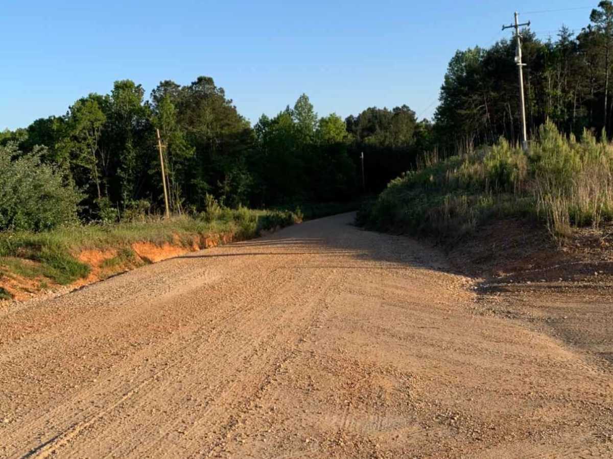
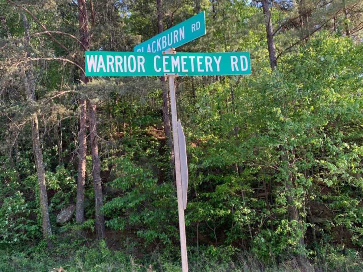
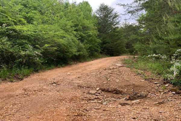
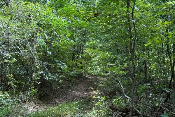
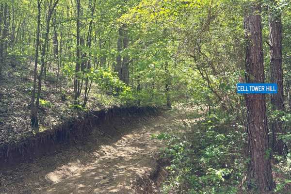
Warrior Cemetery Road is an easy, scenic 5.8-mile route through Alabama's Mulberry Fork Wildlife Management Area, offering a perfect entry point for beginners, families, and outdoor enthusiasts seeking a relaxed day of exploring. As one of the primary access corridors in the WMA, this route features a well-maintained, double-width gravel surface that winds through dense forests with rolling elevation changes between 350 and 615 feet. Any standard high-clearance two-wheel-drive vehicle can navigate the route in dry conditions, though high-clearance four-wheel-drive vehicles, SxSs, and dirt bikes will find it an enjoyable, worry-free cruise. The trail runs north-to-south, ending near the shores of Bankhead Lake on the Black Warrior River, with numerous side trails branching off to provide further opportunities for exploration.
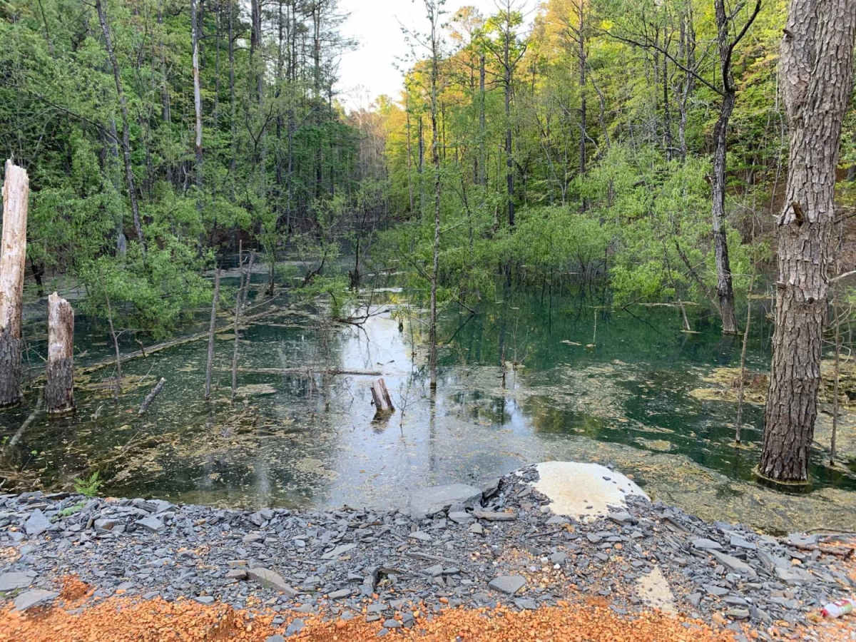
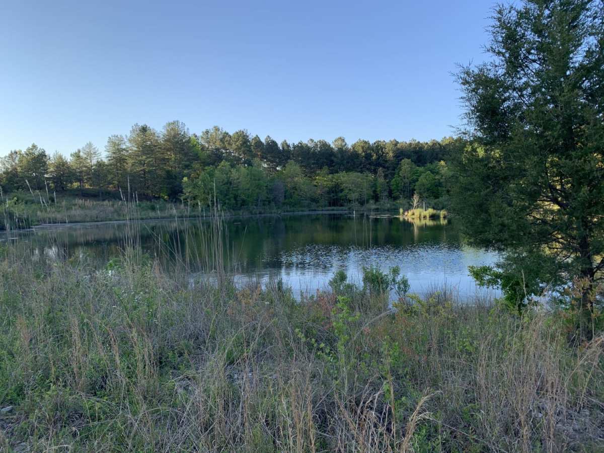
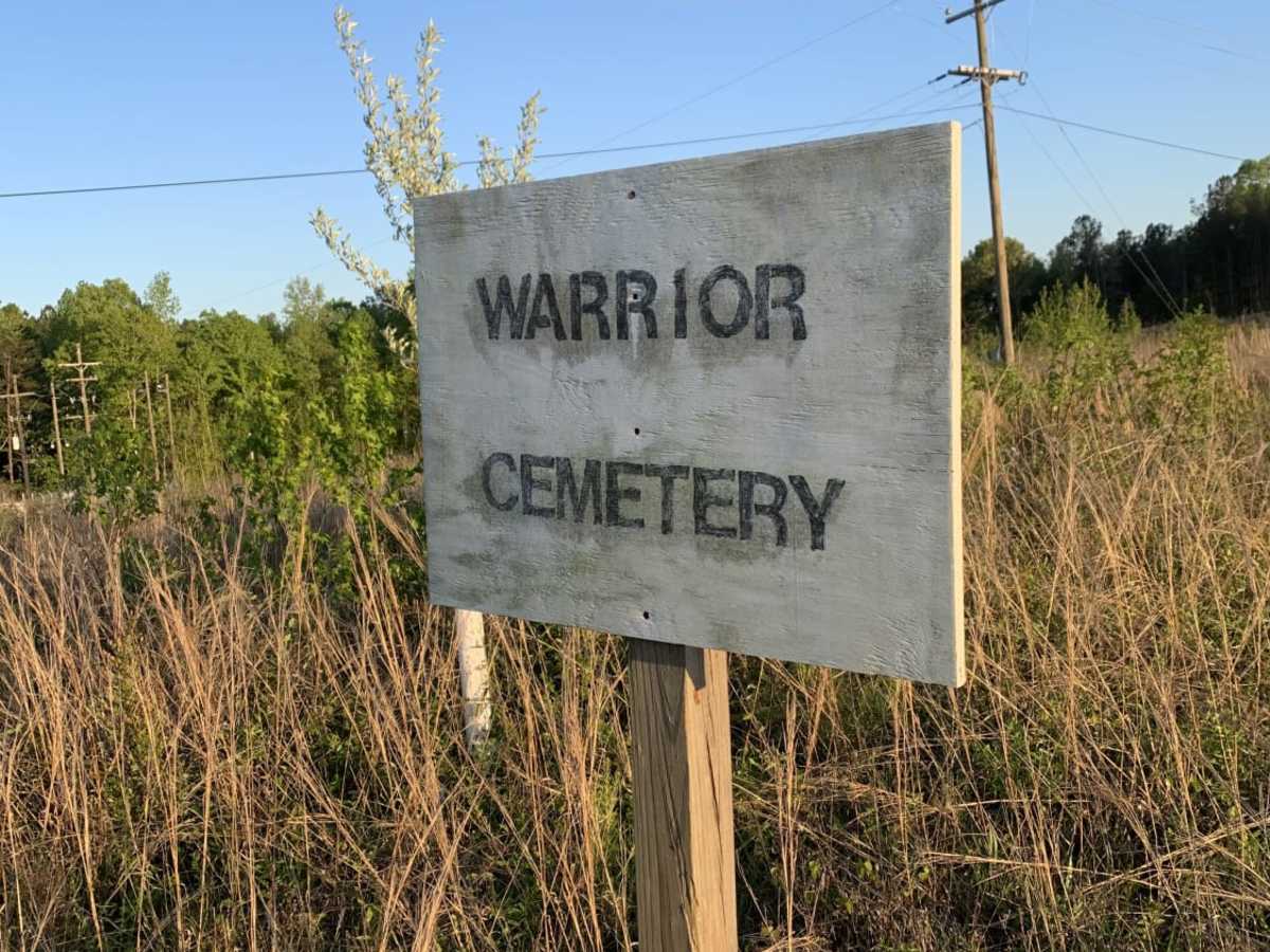
Along the journey, travelers will encounter several small lakes that offer scenic backdrops and excellent spots for a quiet afternoon of fishing. Near the southern end of the road lies the historic Warrior Cemetery, a notable waypoint that provides a fascinating glimpse into the local history of the region. While the trail maintains a mild technical rating of one, heavy rains can occasionally cause minor rutting and shallow washouts, which are easily managed with cautious driving. Offroaders should plan their trip according to wildlife management area regulations, as seasonal hunting closures or permit requirements may apply.
Access Description
Warrior Cemetery Road is located within the Mulberry Fork Wildlife Management Area (WMA). Visitors must comply with Alabama Department of Conservation and Natural Resources (DCNR) regulations, which may require a WMA license, permit, or map for entry. The road or surrounding area may experience seasonal closures during specific hunting seasons.