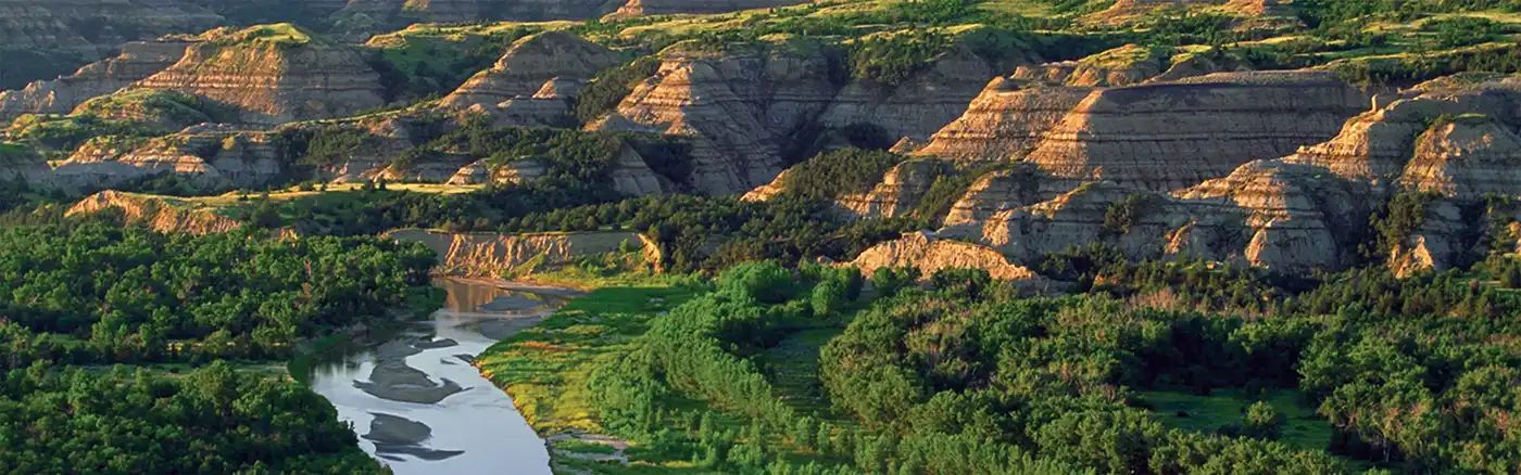
Beginner Off-Road Trails
Near Nevis, Minnesota
Explore All Beginner Trails Near Nevis, Minnesota
Beginner Off-Road Trails Near Nevis, Minnesota
Discover the best beginner-friendly off-road trails near you. These easier, lower-rated trails are a great place to start — browse trail maps, check difficulty ratings, and find your next adventure.
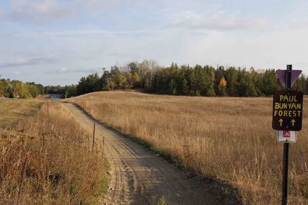
Highway 2 Ditch Trail 5.4
Highway 2 Ditch Trail between Nevis and where Hubbard County Road 2 turns west just south of Paul Bunyan State Forest. This section of trail runs along both sides of County Road 2 once you get out of the Nevis City Limits. This section of trail is 5.4 miles long and takes about 18 minutes at an aver...
Learn more about Highway 2 Ditch Trail 5.4
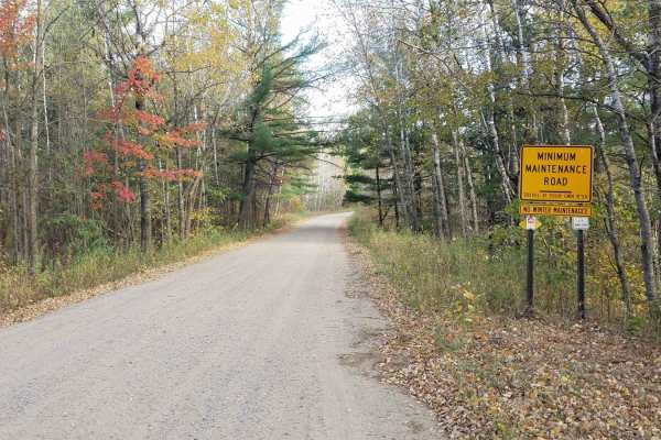
Inner Forest Road 4.6
Inner Forest Road between Hubbard County Road 2 and Spur I Forest Road is 4.6 miles long and takes about 1 minute to travel at an average speed of 15. MPH. This section of trail is on part of Paul Bunyan Forest Road 14. Inner Forest Road continues on past the intersection mapped here but per the Dir...
Learn more about Inner Forest Road 4.6
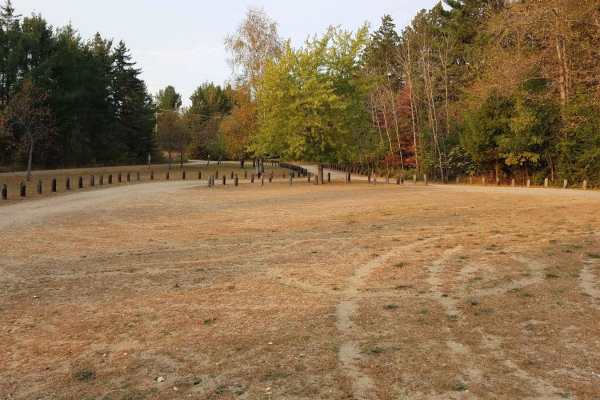
Minnesota 34 Ditch Trail 6.1
Minnesota 34 Ditch Trail between Akeley and Nevis runs along the north side of Minnesota State Highway 34. This section of trail is 6.1 miles long and takes about 30 minutes at an average speed of about 12.2 MPH. Very easy to follow, please be aware of residential areas and keep speeds low for safet...
Learn more about Minnesota 34 Ditch Trail 6.1
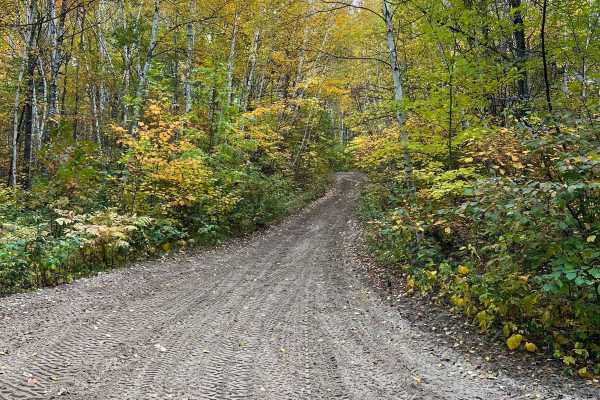
Paul Bunyan South River Rd
Really nice cruising trail with some rocks and roots but overall tame. The trail widens and narrows to about the size of a SxS. Some technical spots on other trails to access this one from the parking lots but this trail is good fun with nice views of water and northern Minnesota forest. General Not...
Learn more about Paul Bunyan South River Rd
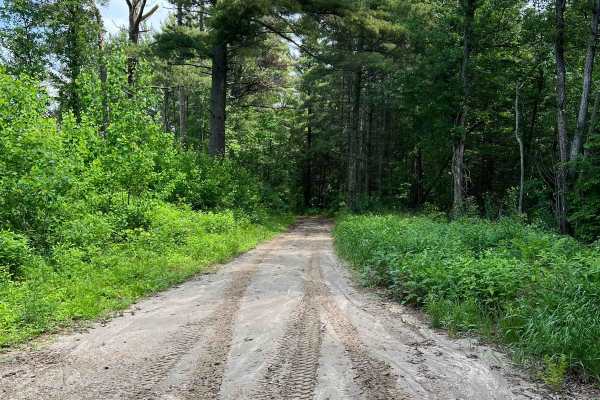
South Round River Drive Cut Through
This trail is set near the southwestern area of the Paul Bunyan Forest trail system. There is a large trail loop people often do, but this trail could be used to shorten said loop or hit a dirt bike trail along the way. There were no overly complicated obstacles, just washed-out regions that any veh...
Learn more about South Round River Drive Cut Through
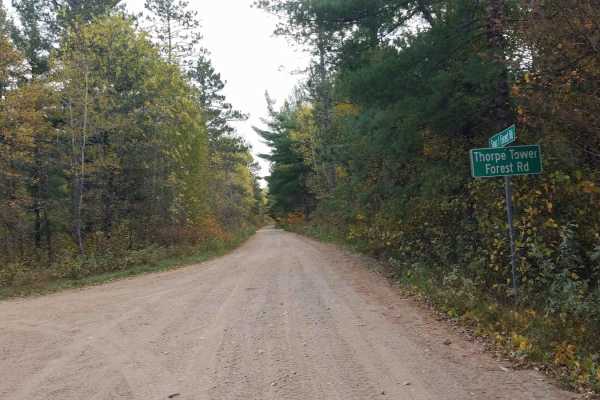
Thorpe Tower Road 5.4
Thorpe Tower Forest Road 13 runs between Spur I Forest Road 14 and Refuge Road. (Forest Road 17) This also includes the very short section of 12A. Although the name is misleading as the tower is no longer in existence, there is a Class I and Class II ATV trail that does take you to a set of overlook...
Learn more about Thorpe Tower Road 5.4
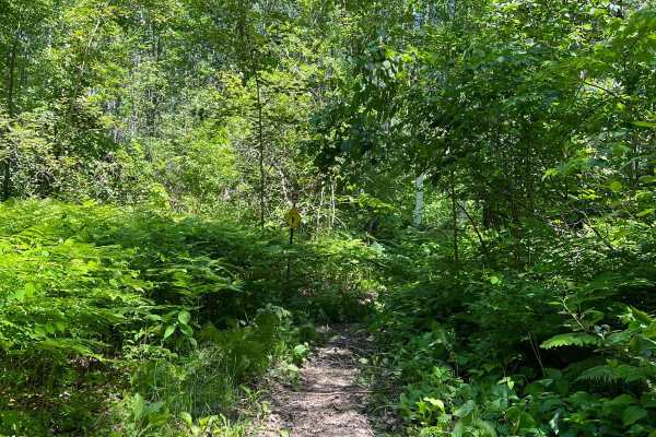
Paul Bunyan South Border
This trail is quite close to the Stompin Grounds campground but appears rather untouched. There is a really beautiful section of tall evergreens. The trail has typical roots to cross, some inclines and decline with rocks, and some narrow washed-out areas that require some concentration and engine br...
Learn more about Paul Bunyan South Border
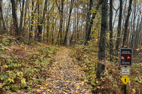
Paul Bunyan Southern Single Track Bypass
The Paul Bunyan Southern Single Track Bypass is an approachable and scenic 1.8-mile dirt bike trail designed for riders looking to quickly bypass the southern forest roads and access deeper single-track networks east of State Highway 64. Starting near the Stompin' Grounds Campground trail lot, this ...
Learn more about Paul Bunyan Southern Single Track Bypass
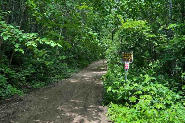
Round River Drive Western Loop Cut Through
This trail is on the narrower side with really nice mature trees, some small rocks, and small water puddles. This trail could be quite wet in the spring after snowmelt or after a large storm. The puddles are not very deep, probably 6 inches. Narrow areas of the path have roots that could pose diffic...
Learn more about Round River Drive Western Loop Cut Through
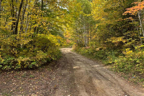
Paul Bunyan West River Rd Loop
This trail is a really nice edge of the park trail. This area feels removed from the rest of the trails. It is not overly narrow but there are plenty of spaces to pass other vehicles on the trail. A few technical spots like a small "rock garden" type obstacle hill. Overall really pretty with some ...
Learn more about Paul Bunyan West River Rd Loop
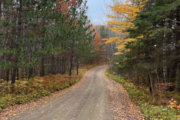
East Steamboat Lake Road
East Steamboat Lake Road is one of the main arteries in the eastern half of Paul Bunyan State Forest. It is a gentle, wide, and well-maintained gravel road. Use it to cruise the forest or to connect to several of the single-track or ATV trails along the way. There are several dispersed campsites alo...
Learn more about East Steamboat Lake Road
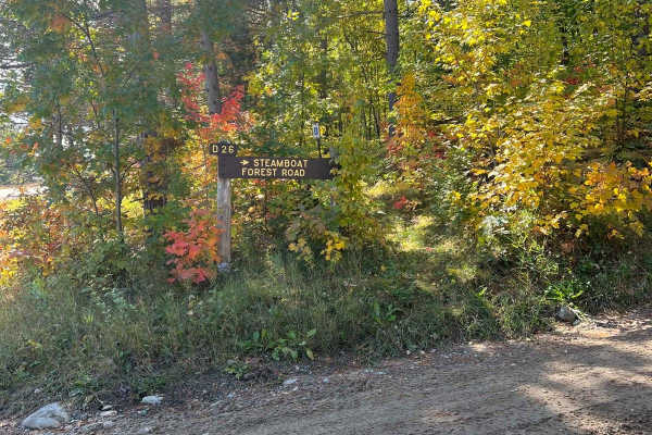
Paul Bunyan West Steamboat Forest Road
Nice wide forest road with pretty fall colors and pine trees. Some occasional ponds or water but it's more woodsy than water views. Multiple spots to disperse camp along this road and great access to many SxS, ATV, and dirt bike trails.General Note on Trail Riding in MN: Many trails heavily change i...
Learn more about Paul Bunyan West Steamboat Forest Road
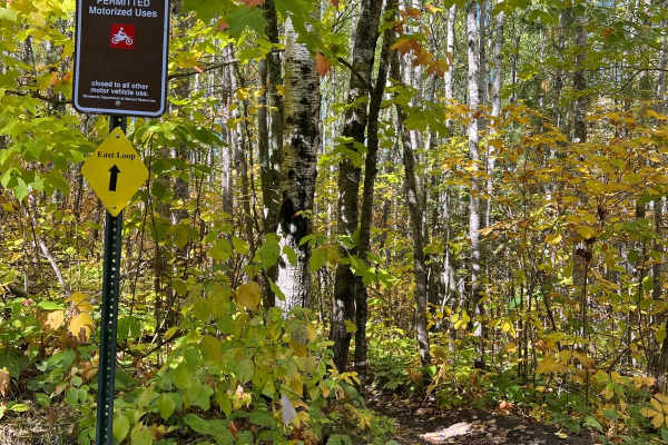
Paul Bunyan's Smooth Backwoods Cruise
This trail is quite smooth and flowy as we call it. You are able to go somewhat fast without many bumps. The trail is narrower in spots but overall a wider trail with the occasional roots and rocks but nothing nagging. Not much water. A few challenging spots and a few inclines and declines but overa...
Learn more about Paul Bunyan's Smooth Backwoods Cruise
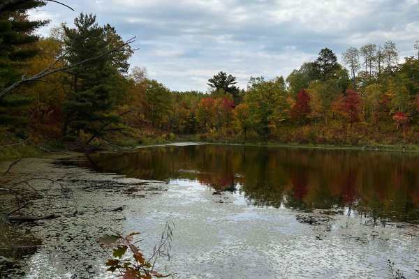
Parkway Forest Road
Parkway Forest Road is a gentle gravel forest road that splits the eastern section of Paul Bunyan State Forest in half. It stretches over 8 miles, connecting County Road 39 and County Road 23. There are many dispersed campsites along the road, with several large enough for groups to spread out on. R...
Learn more about Parkway Forest Road
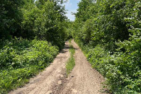
Akeley Cutoff Road SW Connector
If this trail wasn't overgrown, it could maybe pass as a forest road. It's listed as part of the Round River Road network. It's quite wide but technically only allows SxS and ATVs. There are narrow sections where passing could be challenging but there are no obstacles where you couldn't back up or w...
Learn more about Akeley Cutoff Road SW Connector
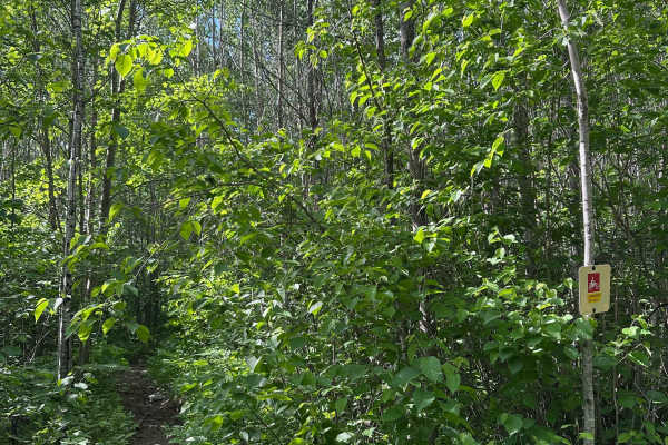
Sandwinder
Sandwinder is named after the long sand chute hill climb in the northern portion of the trail. Run the trail north to south in order to hit it in the uphill direction. The rest of the trail is a series of rolling climbs and descents with rocks and some sandy ruts along the way.
Learn more about Sandwinder
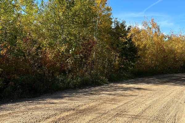
Paul Bunyan Round River Dr
This trail is about one SxS wide and that is overall quite easy. There are a few rocky sections but these are short-lived. When starting the trail, it will feel a lot like a forest road but it gets narrower as you continue on. General Note on Trail Riding in MN: Many trails heavily change in difficu...
Learn more about Paul Bunyan Round River Dr
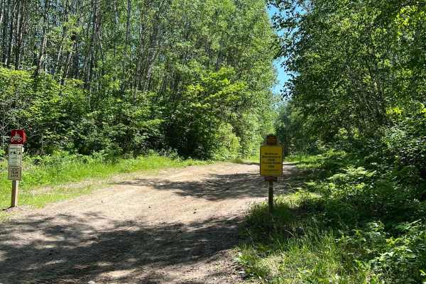
Paul Bunyan Far East Loop
This trail borders the far east side of the Paul Bunyan Trail System. This trail appeared to be marked with SxS and ATV only in some areas. It seems that certain clubs in the area have tried to create natural loops for equipment with either 2 or 4 wheels. Be on the lookout for these instances. Other...
Learn more about Paul Bunyan Far East Loop
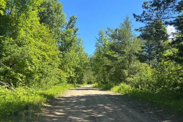
Howard Lake Spur - FS 2803
Dirt road with a scenic route. Very easy trail. Surrounded by trees with a good interest point with some benches to sit at. The trail was not demanding at all. Did this in 2WD. No steep grades or water crossings. Trail says accessible by full-width and high-clearance 4x4. I would definitely leave th...
Learn more about Howard Lake Spur - FS 2803
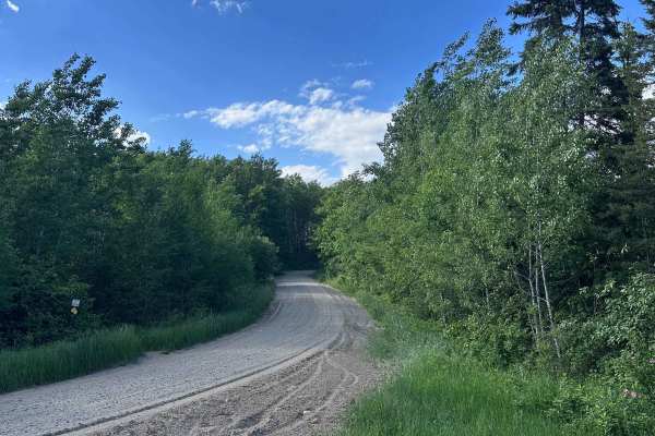
Spur II
Spurr II is a gentle gravel forest road with easy curves and grades. It is the confluence of several other forest roads at the south end connecting it to Spur I in the north. There are at least six OHV trail crossings along this road so please proceed with caution.
Learn more about Spur II
Beginner ATV trails near Nevis, Minnesota
Explore ATV-friendly trails near you. These trails are accessible for vehicles up to 50 inches wide, perfect for ATVs and smaller off-road machines.
Highway 2 Ditch Trail 5.4
Highway 2 Ditch Trail between Nevis and where Hubbard County Road 2 turns west just south of Paul Bunyan State Forest. This section of trail runs along both sides of County Road 2 once you get out of the Nevis City Limits. This section of trail is 5.4 miles long and takes about 18 minutes at an aver...
Learn more about Highway 2 Ditch Trail 5.4
Inner Forest Road 4.6
Inner Forest Road between Hubbard County Road 2 and Spur I Forest Road is 4.6 miles long and takes about 1 minute to travel at an average speed of 15. MPH. This section of trail is on part of Paul Bunyan Forest Road 14. Inner Forest Road continues on past the intersection mapped here but per the Dir...
Learn more about Inner Forest Road 4.6
Minnesota 34 Ditch Trail 6.1
Minnesota 34 Ditch Trail between Akeley and Nevis runs along the north side of Minnesota State Highway 34. This section of trail is 6.1 miles long and takes about 30 minutes at an average speed of about 12.2 MPH. Very easy to follow, please be aware of residential areas and keep speeds low for safet...
Learn more about Minnesota 34 Ditch Trail 6.1
Paul Bunyan South River Rd
Really nice cruising trail with some rocks and roots but overall tame. The trail widens and narrows to about the size of a SxS. Some technical spots on other trails to access this one from the parking lots but this trail is good fun with nice views of water and northern Minnesota forest. General Not...
Learn more about Paul Bunyan South River Rd
Beginner UTV/side-by-side trails near Nevis, Minnesota
Find UTV and side-by-side trails near you. These trails accommodate vehicles up to 60 inches wide, ideal for UTVs, side-by-sides, and wider off-road rigs.
Highway 2 Ditch Trail 5.4
Highway 2 Ditch Trail between Nevis and where Hubbard County Road 2 turns west just south of Paul Bunyan State Forest. This section of trail runs along both sides of County Road 2 once you get out of the Nevis City Limits. This section of trail is 5.4 miles long and takes about 18 minutes at an aver...
Learn more about Highway 2 Ditch Trail 5.4
Inner Forest Road 4.6
Inner Forest Road between Hubbard County Road 2 and Spur I Forest Road is 4.6 miles long and takes about 1 minute to travel at an average speed of 15. MPH. This section of trail is on part of Paul Bunyan Forest Road 14. Inner Forest Road continues on past the intersection mapped here but per the Dir...
Learn more about Inner Forest Road 4.6
Minnesota 34 Ditch Trail 6.1
Minnesota 34 Ditch Trail between Akeley and Nevis runs along the north side of Minnesota State Highway 34. This section of trail is 6.1 miles long and takes about 30 minutes at an average speed of about 12.2 MPH. Very easy to follow, please be aware of residential areas and keep speeds low for safet...
Learn more about Minnesota 34 Ditch Trail 6.1
Paul Bunyan South River Rd
Really nice cruising trail with some rocks and roots but overall tame. The trail widens and narrows to about the size of a SxS. Some technical spots on other trails to access this one from the parking lots but this trail is good fun with nice views of water and northern Minnesota forest. General Not...
Learn more about Paul Bunyan South River Rd
The onX Offroad Difference
onX Offroad combines trail photos, descriptions, difficulty ratings, width restrictions, seasonality, and more in a user-friendly interface. Available on all devices, with offline access and full compatibility with CarPlay and Android Auto. Discover what you're missing today!
Open Trail Map