
Beginner Off-Road Trails
Near Montoursville, Pennsylvania
Explore All Beginner Trails Near Montoursville, Pennsylvania
Beginner Off-Road Trails Near Montoursville, Pennsylvania
Discover the best beginner-friendly off-road trails near you. These easier, lower-rated trails are a great place to start — browse trail maps, check difficulty ratings, and find your next adventure.
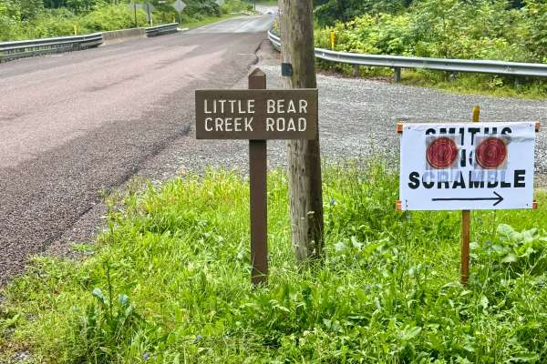
Little Bear Creek Road
Little Bear Creek Road is primarily a graded dirt and gravel road. It is an out-and-back road with a large turnaround at the end. Little Bear Creek Road is an easy ride in the summer months; however, there is no winter maintenance. During times of rain, snow, and ice, the road can become rutted and ...
Learn more about Little Bear Creek Road
Butternut Grove Road
Butternut Grove Road is a road within Loyalsock State Forest. This trail leads to the Loyalsock Trail and Butternut Trail for hikers. Hikers are able to get to World's End State Park, known for its waterfalls. Connecting roads are Rock Run Road and Cold Run Road. This trail is a typical State Forest...
Learn more about Butternut Grove Road
Dad Dad Chapman Road
Dad Dad Chapman is an in-and-back trail within Loyalsock State Forest and is an easy drive during the summer months. Terrain is narrow, graded gravel with some small inclines. This road leads to some of Loyalsock's Famous waterfalls, like Bar Bottom Hollow. The road leads through tall pines and area...
Learn more about Dad Dad Chapman Road
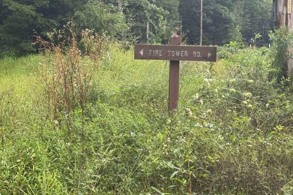
Fire Tower Road
Fire Tower Road is a graded dirt and gravel road. It is an out-and-back road with a large turnaround at the end. Fire Tower Road is an easy ride in the summer months; however, there is no winter maintenance. During times of rain, snow, and ice, the road can become rutted and harder to travel on. Fir...
Learn more about Fire Tower Road
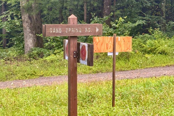
Sand Spring Road
Sand Spring Road is a 2-mile out-and-back dirt and gravel road. There is a large turnaround at the northern end. Sand Spring Road is an easy ride in the summer months; however, there is no winter maintenance. During times of rain, snow, and ice, the road can become rutted and harder to travel on. Sa...
Learn more about Sand Spring Road
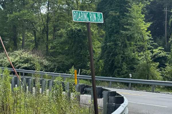
Roaring Run Road
Roaring Run Road is primarily a graded dirt and gravel road. There is a short paved section of this road on the south at the intersection with US Route 220. It turns to dirt and gravel shortly after you start heading north. Roaring Run Road is an easy ride in the summer months; however, there is no ...
Learn more about Roaring Run Road
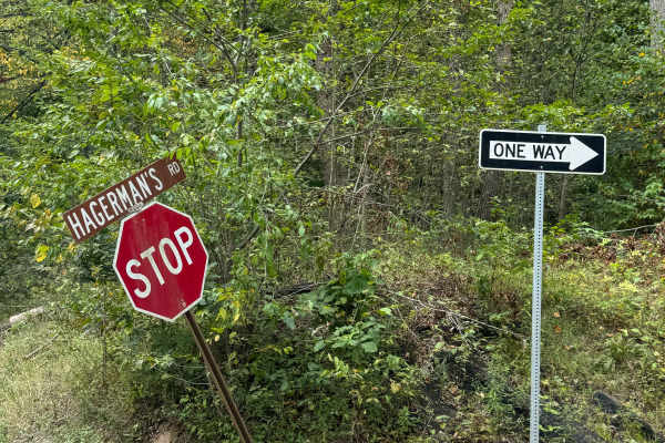
Hagerman Run Road
Hagerman Run Road is primarily a graded gravel road. This is a one-way road, and the travel direction is from south to north. There is signage at both ends. It is an easy ride in the summer months; however, there is no winter maintenance. During times of rain, snow, and ice, the road can become rutt...
Learn more about Hagerman Run Road
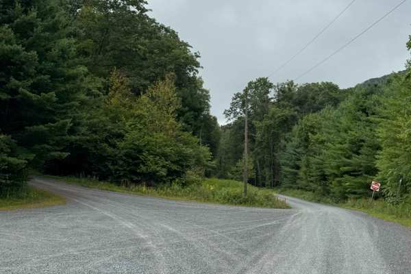
Upper Grays Run Road
Upper Grays Run Road is primarily a graded gravel road with a few sections of ungraded gravel. It is an easy ride in the summer months; however, there is no winter maintenance. During times of rain, snow, and ice, the road can become rutted and harder to travel on. Upper Grays Run Road is within Loy...
Learn more about Upper Grays Run Road
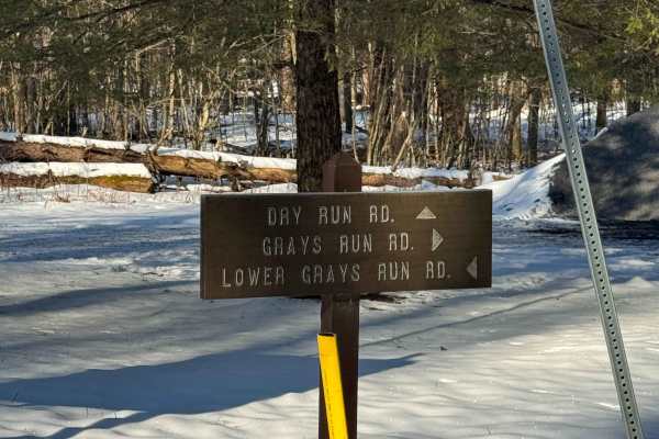
Grays Run Road
Grays Run Road is primarily a graded gravel road. The road stops on the north and south at the State Forest Boundaries. There is ample space to turn around on either end. It is an easy ride in the summer months; however, there is no winter maintenance. During times of rain, snow, and ice, the road c...
Learn more about Grays Run Road
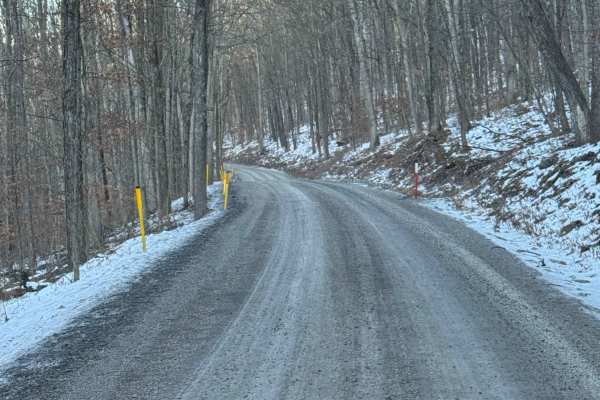
Bodine Mountain Road
Bodine Mountain Road is a dead-end road and is primarily graded gravel. It is an easy ride in the summer months; however, there is no winter maintenance. During times of rain, snow, and ice, the road can become rutted and harder to travel on. Bodine Mountain Overlook is located about halfway up the ...
Learn more about Bodine Mountain Road
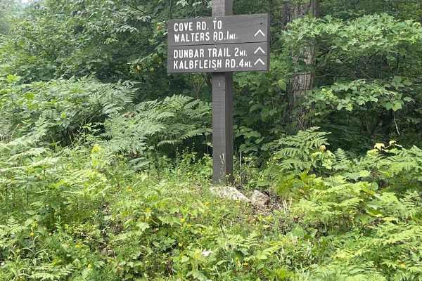
Cove Road
Cove Road is a scenic nicely graded gravel road. It is an easy ride in the summer months accessible by most vehicles, however there is no winter maintenance. During times of rain, snow, and ice the road will become harder to travel on. Van Dyke Road is within Tiadaghton State Forest.
Learn more about Cove Road
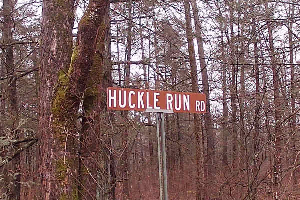
Huckle Run Road
Huckle Run Road is a trail off of Camp Mountain Road, and it is an out-and-back type of trail within Loyalsock State Forest. The trail has a dead end that appears to be made by the state forestry department, as it is blocked by boulders. There is a beautiful fast fast-running brook that is parallel ...
Learn more about Huckle Run Road
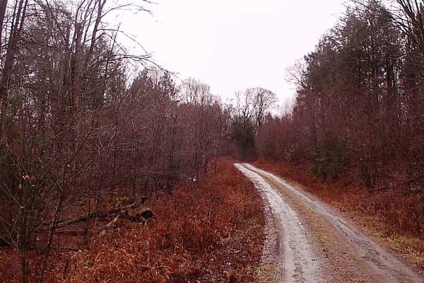
West Huckle Run Road
West Huckle Run Road is an out-and-back road due to a dead end. It is a graded gravel road within the Loyalsock State Forest. This trail has areas to camp with a permit, plenty of turnarounds, and a wonderful area to hike and explore the vast waterfalls and gorges. It is surrounded by Pine trees and...
Learn more about West Huckle Run Road
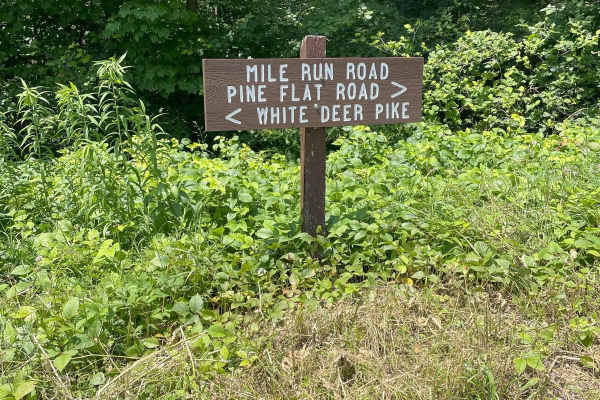
Mile Run Road
This trail is a graded gravel in-and-out type of trail located in Bald Eagle State Forest. It is a short drive and has a tranquil, flowing brook running alongside the trail. The trail is mostly a straight run with some subtle inclines. There are two hiking trails called Mile Run Trail and 5 Point Tr...
Learn more about Mile Run Road
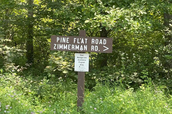
Pine Flat Road
This trail was an in-and-out type of trail, with graded gravel. It had subtle climbs, with most of the trail being a straight run. There was a beautiful Vista with a great lookout. Two hiking trails Kurtz Gap Trail and Spike Buck Trail. The trail has a spur trail called Red Tongue Tram. Pine Flat Ro...
Learn more about Pine Flat Road
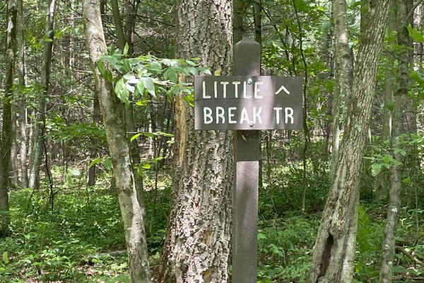
Third Gap Road
The Trail is part of a joining trail that connects Third Gap Road to Fourth Gap Road. It is graded gravel that is mostly a straight run. It has 2 hiking trails, Little Break Trail and Third Gap Trail, along its connection to Fourth Gap Road. The trail may become more difficult during the winter mont...
Learn more about Third Gap Road
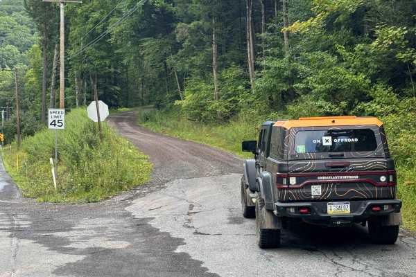
Holmes Hollow Road
Holmes Hollow Road is primarily a graded dirt and gravel road. Holmes Hollow Road is an easy ride in the summer months; however, there is no winter maintenance. During times of rain, snow, and ice, the road can become rutted and harder to travel on. There are numerous spots to stop along this road a...
Learn more about Holmes Hollow Road
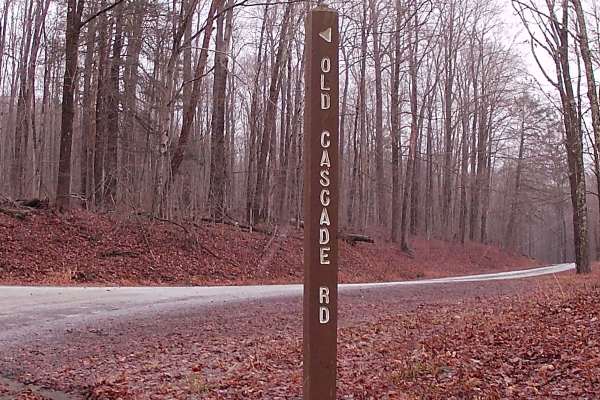
Cascade Road
Cascade Road is an in-and-out trail that is graded gravel within Loyalsock State Forest. Cabbage Hollow Road leads to Cascade, and this road empties into Mill Creek Road. This road is surrounded by big open timber, tall pines, and is home to plenty of wildlife. Also, Cascade Road will lead to Cascad...
Learn more about Cascade Road
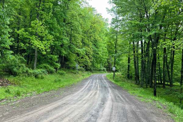
Ticklish Rock Road
Ticklish Rock Road is a wide and smooth gravel road just outside of Loyalsock State Forest. Meandering through dense hardwood forest, many sections are a shelf road or are lined with exposed rock. The rock formation "Ticklish Rock" is accessible from a parking area and walking trail (both on private...
Learn more about Ticklish Rock Road
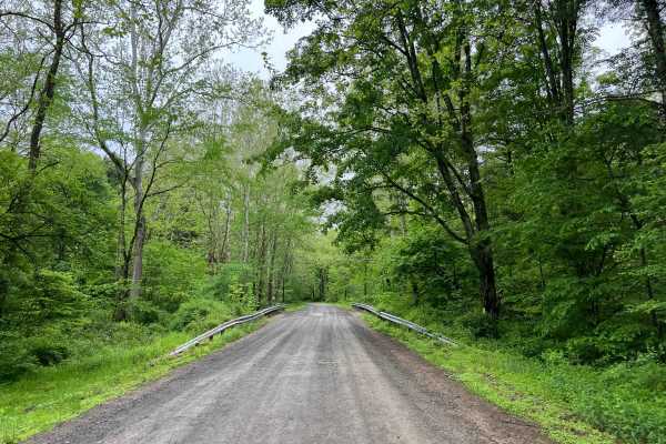
Ogdonia Road
Ogdonia Road is a wide, easily-traveled road through part of Loyalsock State Forest and beyond, to the border of Sullivan County and Lycoming County. The road surface is smooth gravel, with the occasional pothole or small puddle. The majority of this road follows Ogdonia Creek closely, making for a ...
Learn more about Ogdonia Road
Beginner ATV trails near Montoursville, Pennsylvania
Explore ATV-friendly trails near you. These trails are accessible for vehicles up to 50 inches wide, perfect for ATVs and smaller off-road machines.
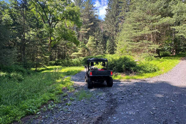
Lehigh Loop
Lehigh Loop is an ungraded, narrow dirt trail. It is part of the PA DCNR Haneyville ATV Trail System located within Tiadaghton State Forest. The trail system is open for use year-round except for being closed for two months during the spring fire season and in the fall for hunting season. Please cal...
Learn more about Lehigh Loop
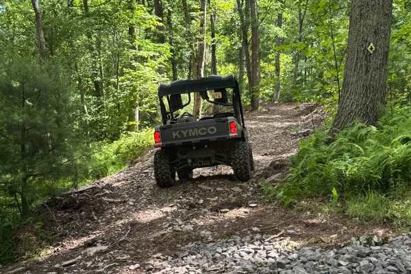
Bail-Out Trail Loop
Bail-Out Trail Loop is an ungraded, narrow dirt trail. It is part of the PA DCNR Haneyville ATV Trail System located within Tiadaghton State Forest. The trail system is open for use year-round except for being closed for two months during the spring fire season and in the fall for hunting season. Pl...
Learn more about Bail-Out Trail Loop
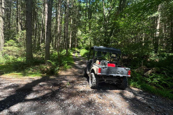
Button Connector Trail
Button Connector Trail is an ungraded narrow dirt trail. It is part of the PA DCNR Haneyville ATV Trail System located within Tiadaghton State Forest. The trail system is open for use year-round except for being closed for two months during the spring fire season and in the fall for hunting season. ...
Learn more about Button Connector Trail
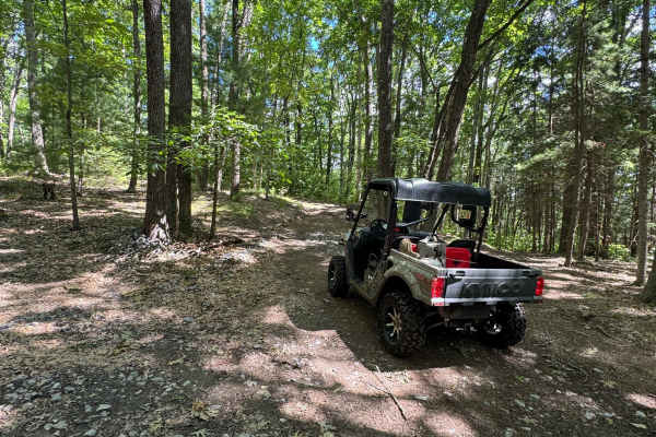
Bail-Out Trail
Bail-Out Trail is an ungraded, narrow dirt trail. It is part of the PA DCNR Haneyville ATV Trail System located within Tiadaghton State Forest. The trail system is open for use year-round except for being closed for two months during the spring fire season and in the fall for hunting season. Please ...
Learn more about Bail-Out Trail
Beginner UTV/side-by-side trails near Montoursville, Pennsylvania
Find UTV and side-by-side trails near you. These trails accommodate vehicles up to 60 inches wide, ideal for UTVs, side-by-sides, and wider off-road rigs.
Lehigh Loop
Lehigh Loop is an ungraded, narrow dirt trail. It is part of the PA DCNR Haneyville ATV Trail System located within Tiadaghton State Forest. The trail system is open for use year-round except for being closed for two months during the spring fire season and in the fall for hunting season. Please cal...
Learn more about Lehigh Loop
Bail-Out Trail Loop
Bail-Out Trail Loop is an ungraded, narrow dirt trail. It is part of the PA DCNR Haneyville ATV Trail System located within Tiadaghton State Forest. The trail system is open for use year-round except for being closed for two months during the spring fire season and in the fall for hunting season. Pl...
Learn more about Bail-Out Trail Loop
Button Connector Trail
Button Connector Trail is an ungraded narrow dirt trail. It is part of the PA DCNR Haneyville ATV Trail System located within Tiadaghton State Forest. The trail system is open for use year-round except for being closed for two months during the spring fire season and in the fall for hunting season. ...
Learn more about Button Connector Trail
Bail-Out Trail
Bail-Out Trail is an ungraded, narrow dirt trail. It is part of the PA DCNR Haneyville ATV Trail System located within Tiadaghton State Forest. The trail system is open for use year-round except for being closed for two months during the spring fire season and in the fall for hunting season. Please ...
Learn more about Bail-Out Trail
The onX Offroad Difference
onX Offroad combines trail photos, descriptions, difficulty ratings, width restrictions, seasonality, and more in a user-friendly interface. Available on all devices, with offline access and full compatibility with CarPlay and Android Auto. Discover what you're missing today!
Open Trail Map