
Beginner Off-Road Trails
Near Mesquite Creek, Arizona
Explore All Beginner Trails Near Mesquite Creek, Arizona
Beginner Off-Road Trails Near Mesquite Creek, Arizona
Discover the best beginner-friendly off-road trails near you. These easier, lower-rated trails are a great place to start — browse trail maps, check difficulty ratings, and find your next adventure.
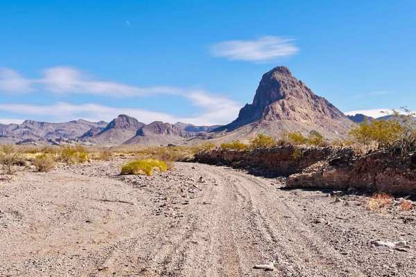
Milltown Old Rail Line Trail
This trail begins from a turn-off of the Mojave & Milton Historic Railroad Trail. The trail follows parts of the old Milltown Rail Line. All that remains of the old rail line are dirt berms and long stretches where the old tracks have been removed. There is a hiking trail that follows the old railro...
Learn more about Milltown Old Rail Line Trail
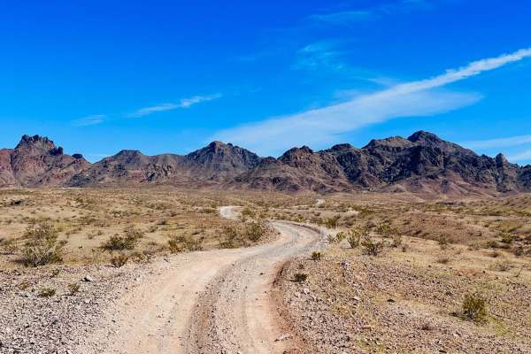
Camp Mojave to Linda Mine
This out-and-back trail crosses the AZPT trail and connects to a network of trails, allowing for different loop trail options. It is one of the easier trails to access from the town of Fort Mojave, just south of Bullhead City. Take Camp Mojave Road to the end of the neighborhood, and the trail begin...
Learn more about Camp Mojave to Linda Mine

Mojave & Milton Historic Railroad
This trail runs to the historic Middletown Railroad site from the Arizona Peace Trail. The historic Milltown Railroad site is about halfway along the trail between the AZPT and the town of Mojave Valley. There is a very narrow offshoot down to the historic site where some brick structures are still ...
Learn more about Mojave & Milton Historic Railroad
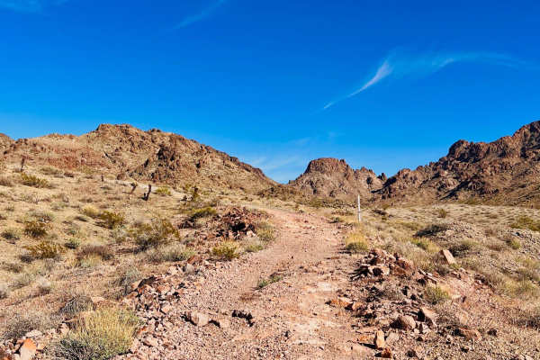
AZ Peace Trail to Linda Mine and Memorial
This trail out to the Linda Mine and Memorial can be run as an out-and-back or it can be connected to other trails at the mine to create a loop. Starting this trail from the AZPT trail, things quickly turn into a sandy wash. The gravelly sand wash makes up at least half of this trail. It is quite lo...
Learn more about AZ Peace Trail to Linda Mine and Memorial
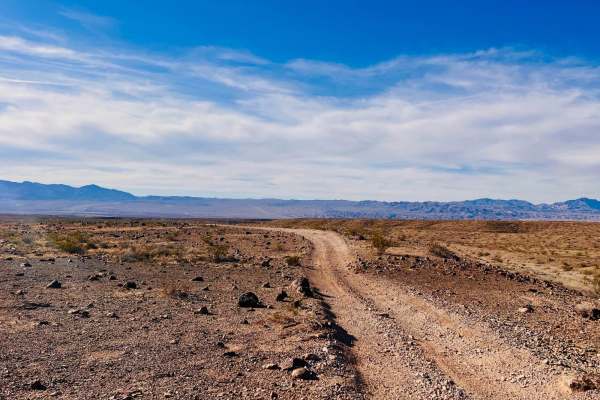
Sterling to AZ Peace Trail
This trail begins in town on the edge of a neighborhood and connects to the AZPT trail. It picks up off of East Sterling Road in a turn and heads out into the desert. The beginning of this trail is bumpy from heavy SXS use, and there are signs of target shooting. Closer to town, quite a bit of trash...
Learn more about Sterling to AZ Peace Trail
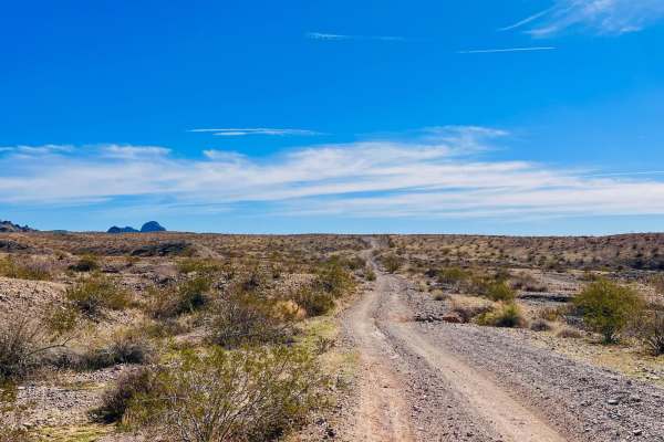
Oatman Quarry AZ Peace Trail to Linda Mine Cutover
This is a cutover trail that links the Linda Mine to the Quarry on the Bypass AZPT Bullhead to Oatman Medium trail. This is a slightly more challenging route with loose hill climbs and some sandy washes. This trail is not advised for full-size and longer-wheelbase vehicles. Some transitions into and...
Learn more about Oatman Quarry AZ Peace Trail to Linda Mine Cutover
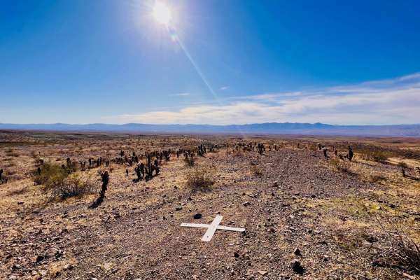
X Marks the Spot from Linda Mine
This out-and-back trail connects the Linda Mine and Memorial to a neat dispersed campsite with a view over Bullhead City. The trail is technical and close to the mine. It has a couple of steep hill climbs and descents with loose rocks. There is one descent into a narrow canyon. This trail is best fo...
Learn more about X Marks the Spot from Linda Mine
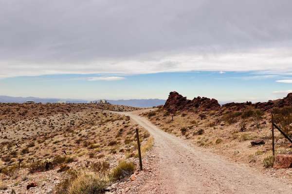
South Spur Loop to Oatman
This trail is a spur section of the AZPT trail. One end of the trail has access from Highway 10, close to the town of Oatman. This trail is rocky and bumpy. None of the rocks are difficult obstacles. Navigating the trail requires good tire placement and possibly airing down your tires a bit for comf...
Learn more about South Spur Loop to Oatman
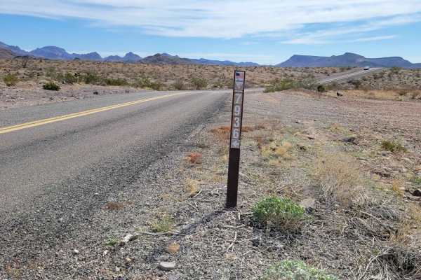
Green Quartz Mine (7936)
This is an out-and-back loop trail that leads you to the Green Quartz Mine. Despite its name, this underground mining operation wasn't seeking quartz at all, but rather gold and silver. This route is on public BLM land but there are a few off-shoot trails that cross into private property. There are ...
Learn more about Green Quartz Mine (7936)
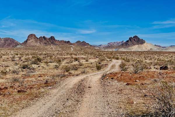
Wheeler Wagon Ridge Dispersed Camps
This out-and-back trail picks up from the Wheeler Wagon Trail East. The beginning of this trail follows a ridgeline paralleling the mountains. Before it drops into a valley, there is a lovely dispersed campsite with a neat rock fire pit. There are many cacti around this campsite, and the fire ring i...
Learn more about Wheeler Wagon Ridge Dispersed Camps

AZ Peace Trail Segment Lake Havasu to Kingman
This 19.7-mile point-to-point trail is a small segment of the Arizona Peace Trail, a 675-mile off-road trail through western Arizona. This segment takes you from Golden Shores to Bullhead City on Lake Havasu to the Kingman segment. This trail runs along power lines and passes through many washes as ...
Learn more about AZ Peace Trail Segment Lake Havasu to Kingman
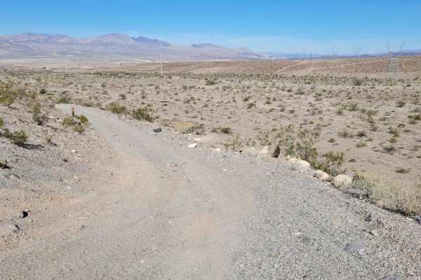
Bullhead City AZ Peace Trail
This 3-mile point-to-point stretch of the AZPT connects from Silver Creek Road (155) to Bullhead City, paralleling the Black Mountains to the east and the city to the west. The trail is like a desert rollercoaster, weaving through washes and climbing/descending several hills. The hills vary with dif...
Learn more about Bullhead City AZ Peace Trail
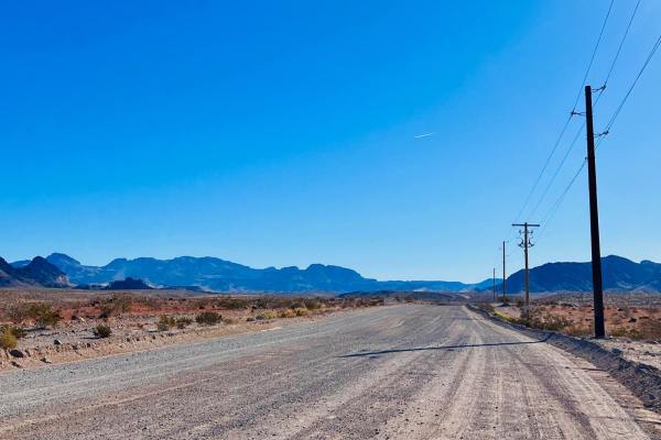
AZ Peace Trail Bullhead to Oatman Bypass Easy
This easy, wide, well-maintained dirt trail connects Bullhead City to the historic town of Oatman. The trail is graded regularly and is wide enough for two vehicles to pass. One section goes through a mountain pass. A slightly narrower section in the middle of the pass is closer to one vehicle wide....
Learn more about AZ Peace Trail Bullhead to Oatman Bypass Easy
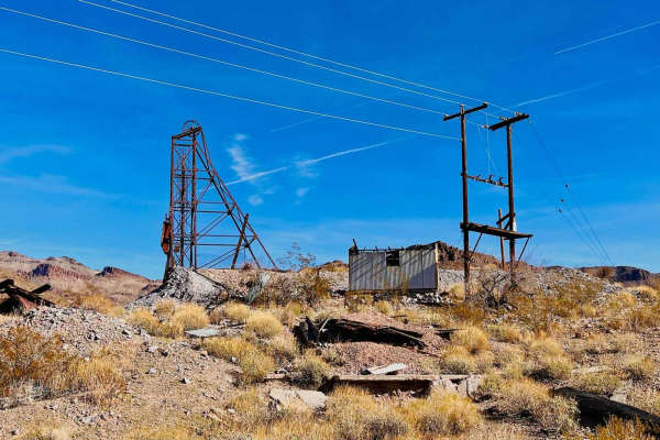
White Chief Mine
This is a short out-and-back sandy trail to the White Chief Mine. The trail picks up from historic Route 66 outside Oatman. The beginning of this trail is a wide sandy wash. The surface is loose, and there are a couple of rock sections in the wash to drive over or around. The trail turns up out of t...
Learn more about White Chief Mine
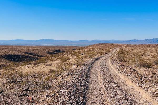
Wheeler Wagon Trail East
This trail runs between the AZPT Havasu to Oatman Bypass Easy and the AZPT Segment Lake Havasu to Kingman Trail. A wooden sign can be spotted along the route, labeling it Wheeler Wagon. No specific history could be found about the trail, but there is quite a bit of mining and railroad history in the...
Learn more about Wheeler Wagon Trail East
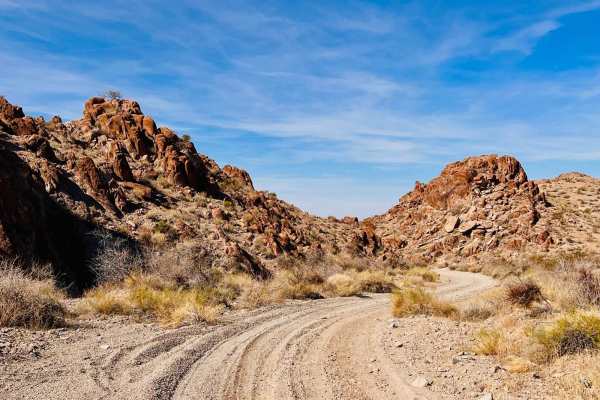
Cathedral Rock West Camp
This is an out-and-back trail to the west side of the Cathedral Rock formation. This trail begins as a gravel sandy wash that twists and turns up through different rock formations. The beginning of the trail is heavily used for target shooting. There is lots of trash being left, even a couple of sho...
Learn more about Cathedral Rock West Camp
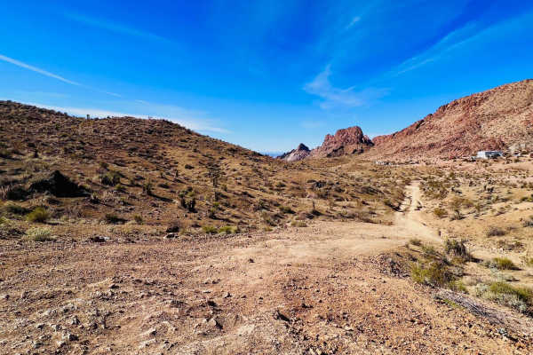
Bypass AZ Peace Trail Bullhead City to Oatman Medium
This trail goes from Bullhead City to the AZPT Bullhead City to Oatman Bypass Easy trail, a wide graded road. Once on the graded road, it's easy to make it to the historic town of Oatman. This is a more challenging trail in the mountains through a canyon. If taking this trail from the Oatman end, th...
Learn more about Bypass AZ Peace Trail Bullhead City to Oatman Medium

Secret Pass Slot Canyon
To the East of Bullhead City, Secret Pass Slot Canyon is an out-and-back wash trail that leads adventurers to a drivable slot canyon. The trail begins as a wide open, sandy wash basin, consisting of several trails that all lead in the same direction. Most, if not all of them, are washboarded for the...
Learn more about Secret Pass Slot Canyon
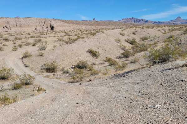
Slot Canyon Bypass
Slot Canyon Bypass is a point-to-point trail that traverses the ridgeline above Secret Pass Slot Canyon. Starting at the western end, the trail begins in the sandy, canyon wash, climbing up and back out into the desert landscape. The trail is predominantly an easy-going dirt two-track with a short h...
Learn more about Slot Canyon Bypass
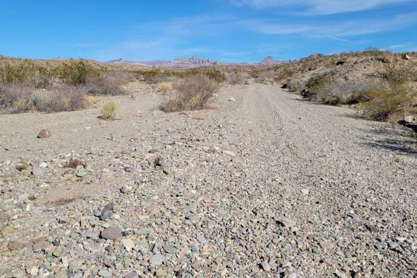
To the Mount
To the Mount is a point-to-point connector trail from "There and Back" up to the mountain area. If starting from the west, the trail begins in a sandy wash. Expect washboards like all the other sandy trails in the area. The wash becomes more narrow with vegetation in a few places. Eventually, the tr...
Learn more about To the Mount
Beginner ATV trails near Mesquite Creek, Arizona
Explore ATV-friendly trails near you. These trails are accessible for vehicles up to 50 inches wide, perfect for ATVs and smaller off-road machines.
Milltown Old Rail Line Trail
This trail begins from a turn-off of the Mojave & Milton Historic Railroad Trail. The trail follows parts of the old Milltown Rail Line. All that remains of the old rail line are dirt berms and long stretches where the old tracks have been removed. There is a hiking trail that follows the old railro...
Learn more about Milltown Old Rail Line Trail
Camp Mojave to Linda Mine
This out-and-back trail crosses the AZPT trail and connects to a network of trails, allowing for different loop trail options. It is one of the easier trails to access from the town of Fort Mojave, just south of Bullhead City. Take Camp Mojave Road to the end of the neighborhood, and the trail begin...
Learn more about Camp Mojave to Linda Mine
Mojave & Milton Historic Railroad
This trail runs to the historic Middletown Railroad site from the Arizona Peace Trail. The historic Milltown Railroad site is about halfway along the trail between the AZPT and the town of Mojave Valley. There is a very narrow offshoot down to the historic site where some brick structures are still ...
Learn more about Mojave & Milton Historic Railroad
AZ Peace Trail to Linda Mine and Memorial
This trail out to the Linda Mine and Memorial can be run as an out-and-back or it can be connected to other trails at the mine to create a loop. Starting this trail from the AZPT trail, things quickly turn into a sandy wash. The gravelly sand wash makes up at least half of this trail. It is quite lo...
Learn more about AZ Peace Trail to Linda Mine and Memorial
Beginner UTV/side-by-side trails near Mesquite Creek, Arizona
Find UTV and side-by-side trails near you. These trails accommodate vehicles up to 60 inches wide, ideal for UTVs, side-by-sides, and wider off-road rigs.
Milltown Old Rail Line Trail
This trail begins from a turn-off of the Mojave & Milton Historic Railroad Trail. The trail follows parts of the old Milltown Rail Line. All that remains of the old rail line are dirt berms and long stretches where the old tracks have been removed. There is a hiking trail that follows the old railro...
Learn more about Milltown Old Rail Line Trail
Camp Mojave to Linda Mine
This out-and-back trail crosses the AZPT trail and connects to a network of trails, allowing for different loop trail options. It is one of the easier trails to access from the town of Fort Mojave, just south of Bullhead City. Take Camp Mojave Road to the end of the neighborhood, and the trail begin...
Learn more about Camp Mojave to Linda Mine
Mojave & Milton Historic Railroad
This trail runs to the historic Middletown Railroad site from the Arizona Peace Trail. The historic Milltown Railroad site is about halfway along the trail between the AZPT and the town of Mojave Valley. There is a very narrow offshoot down to the historic site where some brick structures are still ...
Learn more about Mojave & Milton Historic Railroad
AZ Peace Trail to Linda Mine and Memorial
This trail out to the Linda Mine and Memorial can be run as an out-and-back or it can be connected to other trails at the mine to create a loop. Starting this trail from the AZPT trail, things quickly turn into a sandy wash. The gravelly sand wash makes up at least half of this trail. It is quite lo...
Learn more about AZ Peace Trail to Linda Mine and Memorial
The onX Offroad Difference
onX Offroad combines trail photos, descriptions, difficulty ratings, width restrictions, seasonality, and more in a user-friendly interface. Available on all devices, with offline access and full compatibility with CarPlay and Android Auto. Discover what you're missing today!
Open Trail Map