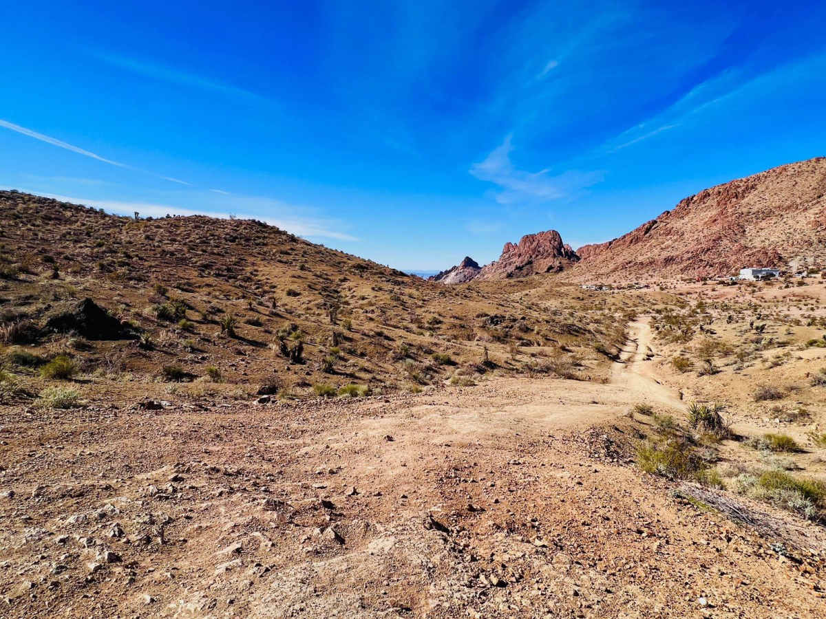
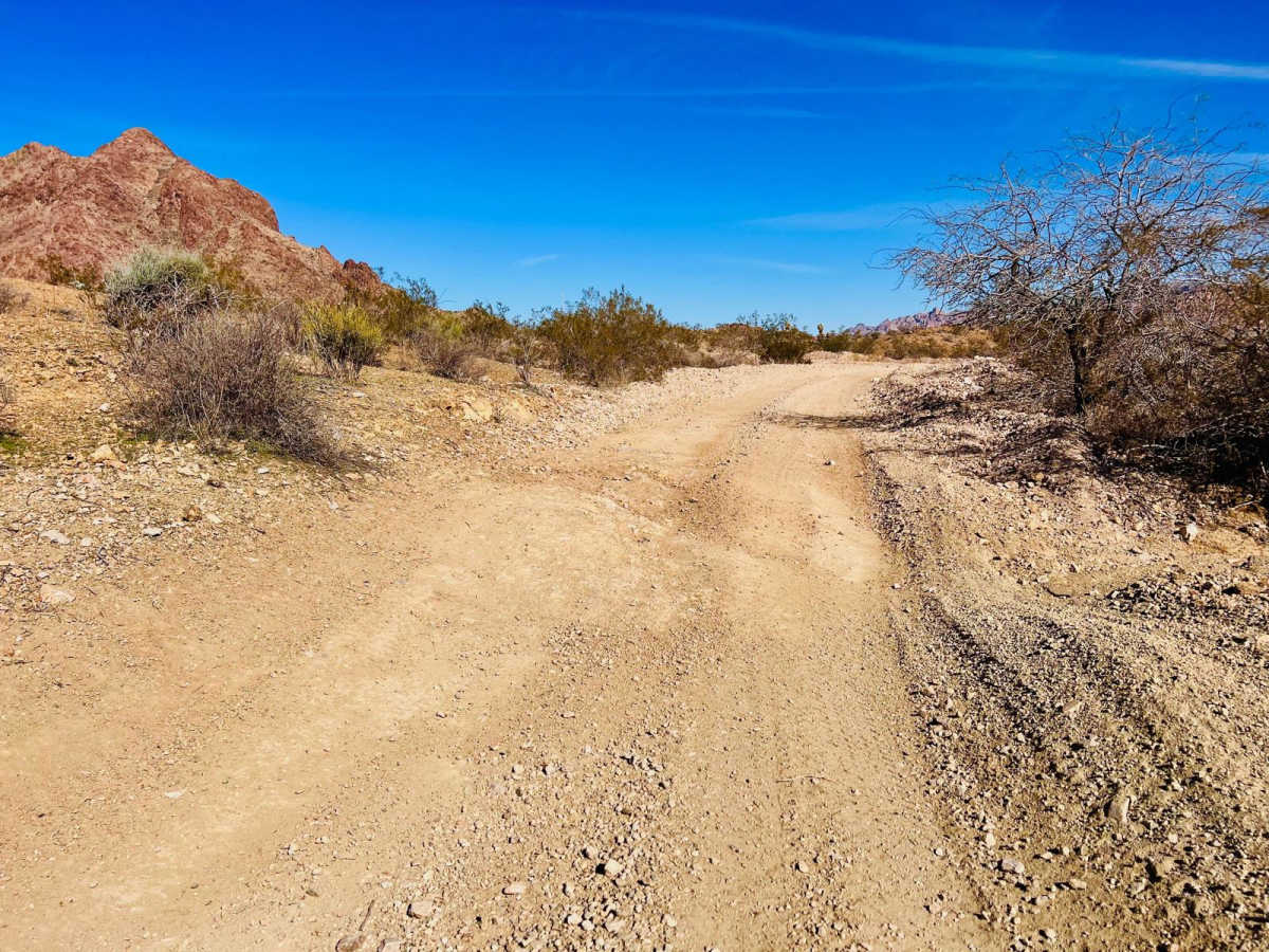
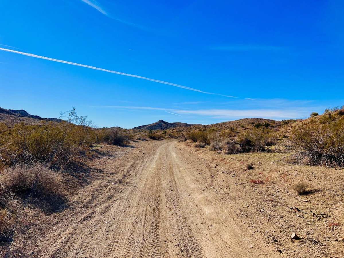
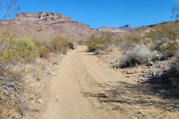
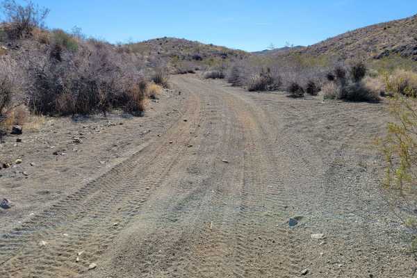
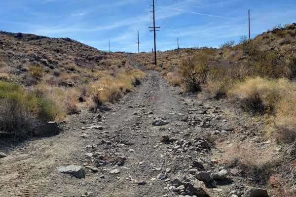
Trail Overview
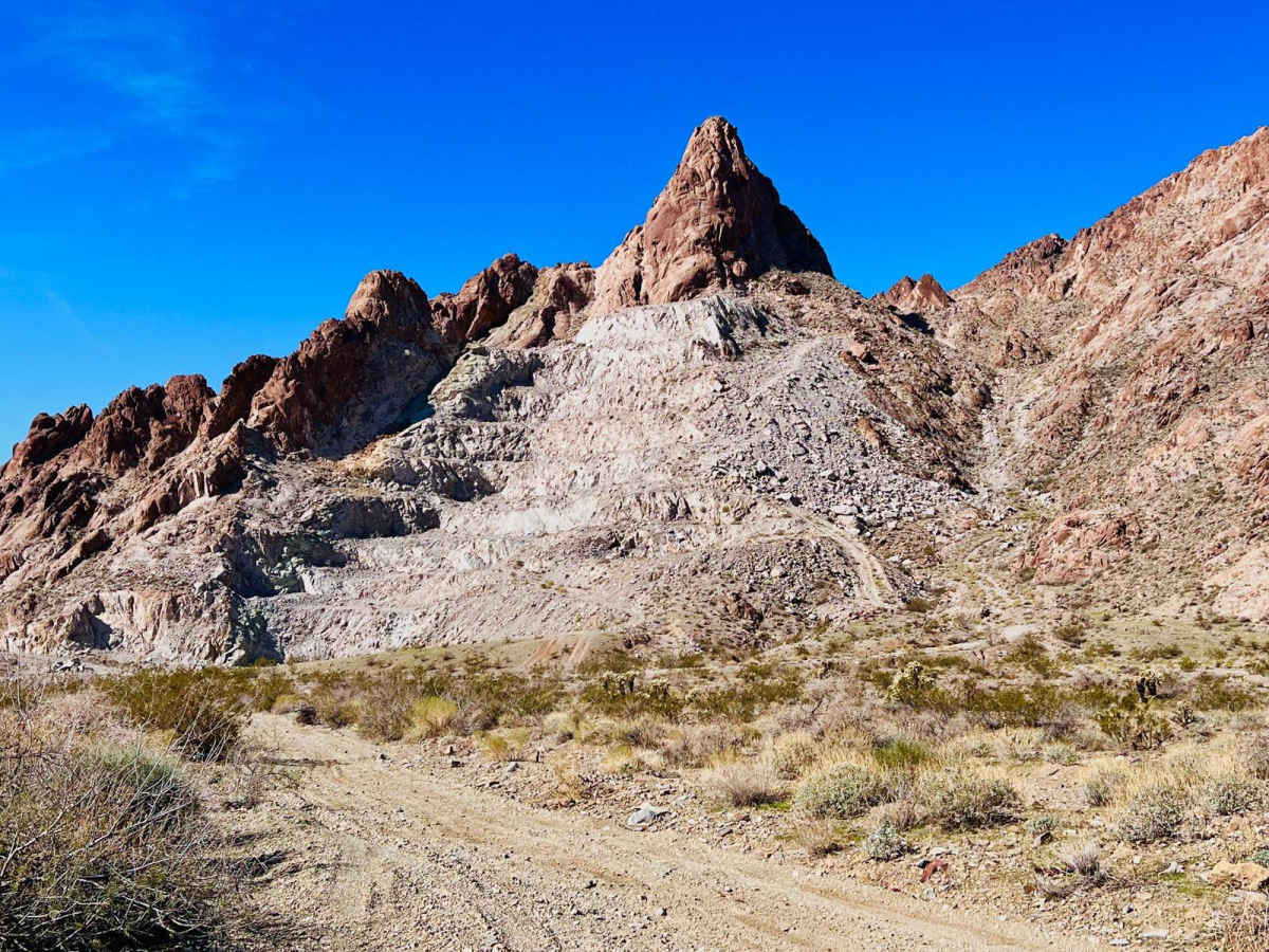
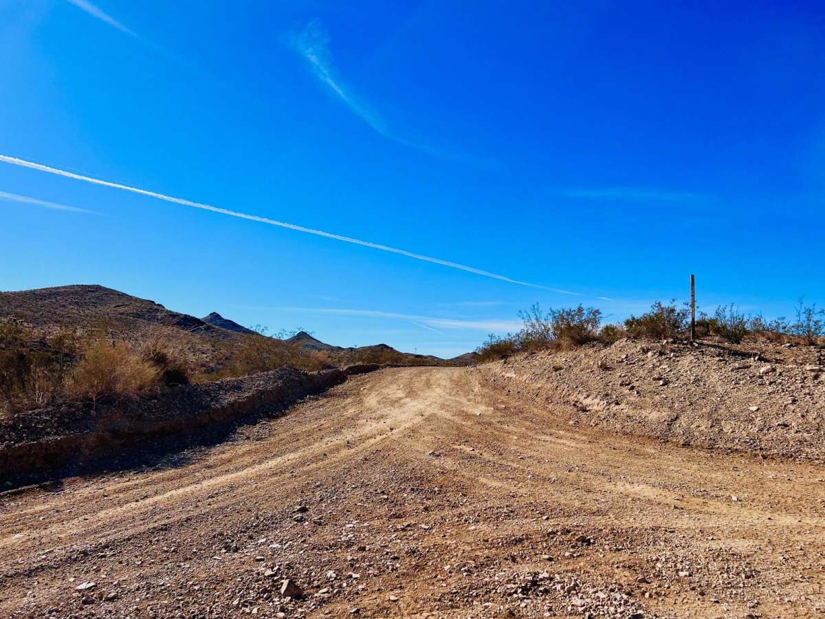
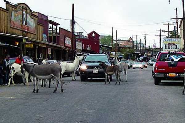
This trail goes from Bullhead City to the AZPT Bullhead City to Oatman Bypass Easy trail, a wide graded road. Once on the graded road, it's easy to make it to the historic town of Oatman. This is a more challenging trail in the mountains through a canyon. If taking this trail from the Oatman end, there will be a few steeper downhill descents once you are past the private properties that are along the beginning of the trail. If you take this trail from Bullhead City to Oatman, you'll drive up those at the end. A majority of this trail runs up or down sandy, loose gravel washes. There are a few mild flexy sections, but nothing crazy. At about the middle point of the trail, there is a large quarry to check out. There are some fire rings for dispersed camping. There is a lot of trash left from people's target shooting. The quarry is quite impressive, and there are some short trails around it in the area to explore. The trail from the quarry continues down to Bullhead City and turns into a wide, loose gravel gravel wash. You can pick up the Joy Lane Quarry Trail, or you can continue through the wash and the canyon down to town. Pack in and pack out all trash. This area can also get extremely hot in the summer months. Bring extra water and supplies if traveling during the summer.
Difficulty
The majority of this trail is a loose gravel wash through a canyon. The trail is narrow, with difficult areas to pass. There are short hill climbs or descents depending on the direction of travel, as well as slightly off-camber and rutted sections.