
Beginner Off-Road Trails
Near Meridianville, Alabama
Explore All Beginner Trails Near Meridianville, Alabama
Beginner Off-Road Trails Near Meridianville, Alabama
Discover the best beginner-friendly off-road trails near you. These easier, lower-rated trails are a great place to start — browse trail maps, check difficulty ratings, and find your next adventure.

Counts Road
Counts Road is a public gravel road that winds through the farmland of southern Middle Tennessee. It connects Highway 22 to Old Highway 22, offering a fun and scenic alternative to the paved route. The road is very flat, well-maintained, and suitable for an easy countryside drive. At the intersectio...
Learn more about Counts Road
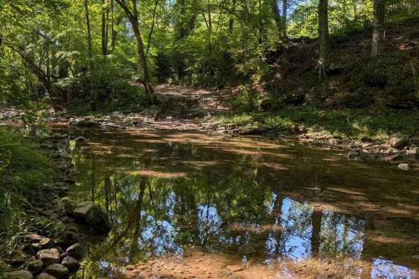
Whites Gap Road
Whites Gap Road is a public road in southern Tennessee, located just north of the Alabama border. The route is primarily gravel with several rocky creek crossings that can add a bit of challenge depending on conditions. Traveling from north to south, you’ll encounter a creek crossing with a steep em...
Learn more about Whites Gap Road
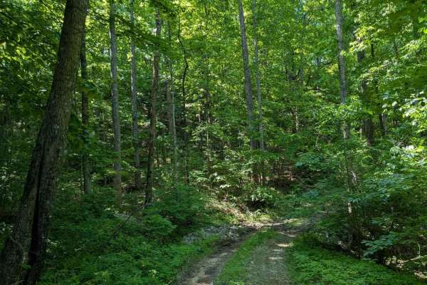
Paint Rock Trail
IMPORTANT: This trail is only open during Tennessee hunting seasons, typically from mid-August through late May. Visitors should reference the Tennessee Wildlife Resources Agency website for current access dates and regulations before visiting. Paint Rock Trail is a 3-mile gravel trail that leads in...
Learn more about Paint Rock Trail
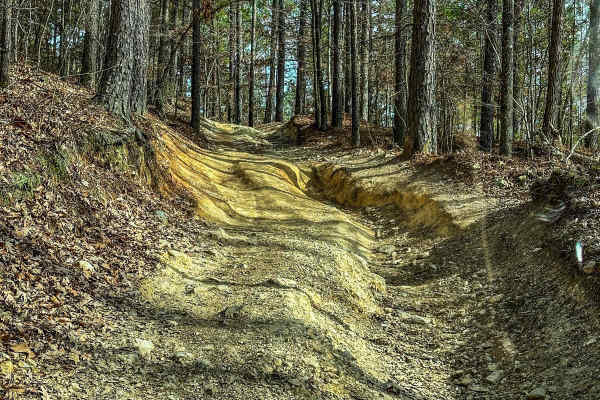
Upper Ridge Trail
This trail is smoother than the surrounding trails it connects to. Once you come off the Evans Ridge Trail, you can turn left and continue onto many other trails. If you take a left, you can also exit the area and reach the main road. Continuing left onto the Upper Ridge Trail, you'll encounter a va...
Learn more about Upper Ridge Trail
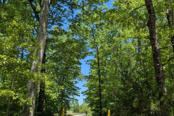
Bear Hollow Road
IMPORTANT: This trail is only open during Tennessee hunting seasons, typically from mid-August through late May. Visitors should reference the Tennessee Wildlife Resources Agency website for current access dates and regulations before visiting. Bear Hollow Road is a 2.5-mile gravel trail that leads ...
Learn more about Bear Hollow Road
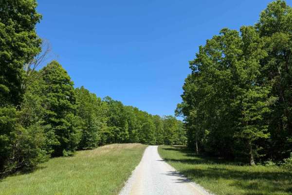
Poplar Springs Road
IMPORTANT: This trail is only open during Tennessee hunting seasons, typically from mid-August through late May. Visitors should reference the Tennessee Wildlife Resources Agency website for current access dates and regulations before visiting. Poplar Springs Road is a 3.2-mile gravel trail that lea...
Learn more about Poplar Springs Road
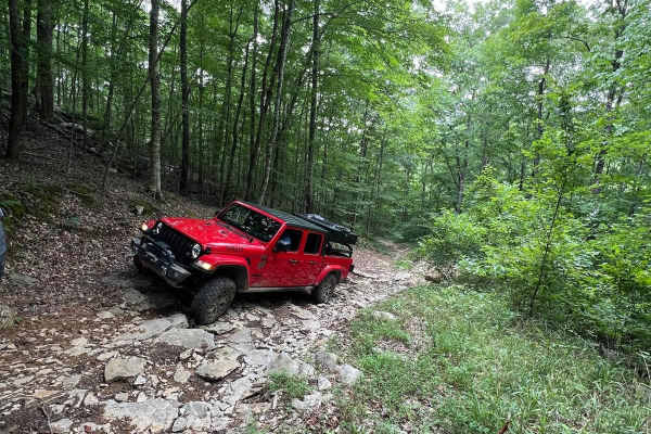
Betsy Gap Trail
This is a bi-directional trail that connects Little Coon River Trail to Poplar Springs Trail. When running from Little Coon River Trail, you will start out by climbing up an area of large slick rock and dirt. Some areas on the elevation change will be loose rock that can cause some traction issues. ...
Learn more about Betsy Gap Trail
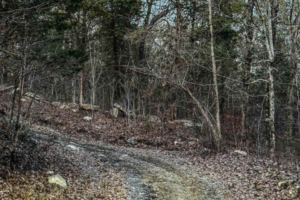
Poplar Springs Trail
This trail can be run in either direction but is best run from North to South. Starting at the North part you will head South. The trail is mostly down the mountain. There are areas that have large mud areas that will be slick and can be deep depending on the time of year. A few areas have some dro...
Learn more about Poplar Springs Trail

Little Coon River Trail
This trail is I bi-directional trail that connects the start of the James D. Martin Skyline WMA to the Upper Ridge Trail and Mountain Bypass Trail. This is an easy-to-moderate trail with multiple water crossings. The water level is dependent upon the season and the recent rain. More water will be in...
Learn more about Little Coon River Trail

Joe Carter Way
IMPORTANT: This trail is only open during Tennessee hunting seasons, typically from mid-August through late May. Visitors should reference the Tennessee Wildlife Resources Agency website for current access dates and regulations before visiting. Joe Carter Way is a 1.6-mile dirt trail that branches o...
Learn more about Joe Carter Way
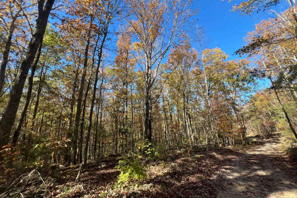
Flat Mountain Road - FS 270C
This is a tight, short out-and-back trail that winds through large stands of pine trees and passes old logging roads, along with a gate or two that are unlocked seasonally. Be sure to bring a saw, as fallen trees continue to block further access. The trail can be slick when muddy, so remember to tre...
Learn more about Flat Mountain Road - FS 270C
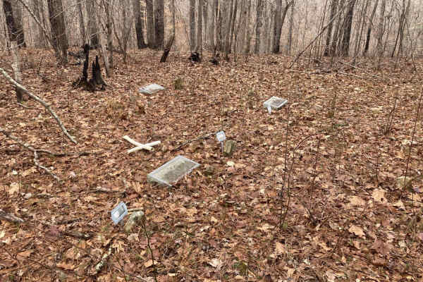
Bankhead Roads
This trail is mostly two-lane dirt roads. Forest roads can be traveled in 2WD, but some off-shoot trails will require 4WD. Some side trails are gated. If the gates are open, they are clear to ride, but be sure to stay on the trail. There are potential mud holes, and some steep grates as well as some...
Learn more about Bankhead Roads
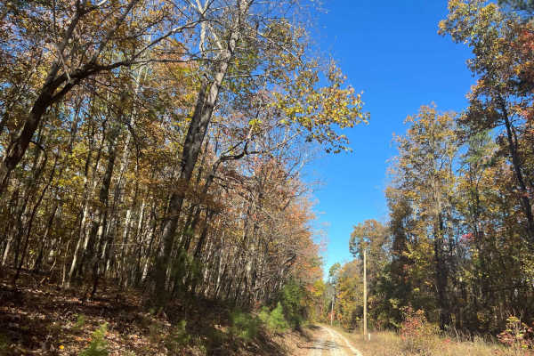
County Road 198 - FS272
This is a sparsely traveled trail that follows the telephone lines and weaves through private property, offering beautiful views of the local farmlands and surrounding landscape. The trail can be tricky during the muddy season, so be sure to check local conditions before heading out, and remember to...
Learn more about County Road 198 - FS272
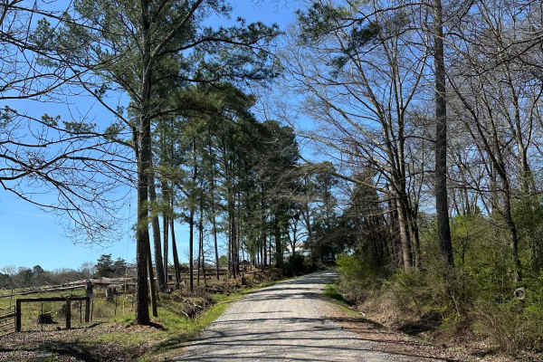
Suttles Road
Smooth gravel road that winds through beautiful farm land. Great view along the road with houses and barns on each side. Private property on both sides of the road, so stay on the road. Very smooth and well-maintained gravel road. About 1 mile of winding through the trees is great during the fall.
Learn more about Suttles Road
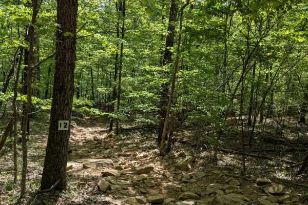
Trail 12
Trail 12 is a short wooded trail near Trails 1 and 15. It is gently rolling with a few deep mudholes to contend with; most of them have bypasses. The park rating for this trail is Green (Easy). A Park Day-Use Trail Pass is required to access this system of trails. Cell service is spotty in places, a...
Learn more about Trail 12

Trail 8
AOP Trail 8 - Megabit is a root-filled trail from topsoil that has washed down the mountain leaving the toes of the trees exposed throughout. Overall the trail is a very easy connector trail with the exception of one spot in the middle with an exposed rock, and the entrance to the trail that is mild...
Learn more about Trail 8
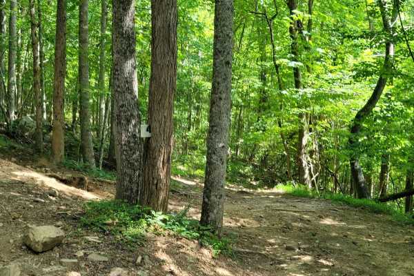
Trail 4
AOP Trail 4 - Mars is a short and simple connector trail that features a hard-packed route with lots of smaller rocks with little to no mud. While Trail 4 - Mars does not have any difficult features, it is a great trail to tie into others to make a good cruising route.
Learn more about Trail 4
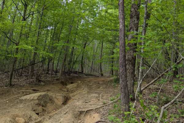
Trail 14
Trail 14 snakes through the top of the park, connecting Trails 1 and 3, and is a mix of rocky climbs and smooth dirt. The park rating for this trail is Green (Easy). A Park Day-Use Trail Pass is required to access this system of trails. Cell service is spotty in places, and trail conditions can chan...
Learn more about Trail 14
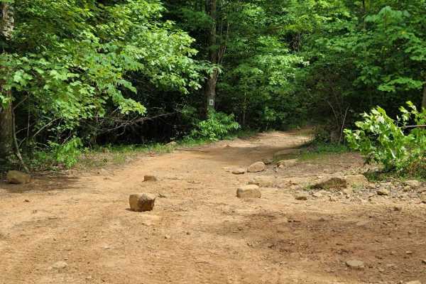
Trail 9
AOP trail 9 - Little Dipper is a full loop trail that connects back to itself, but also connects to a few other more difficult trails. Trail 9 - Little Dipper is mostly flat throughout with little to no obstacles. The loose dirt and light gravel is compact from one end to the other.
Learn more about Trail 9
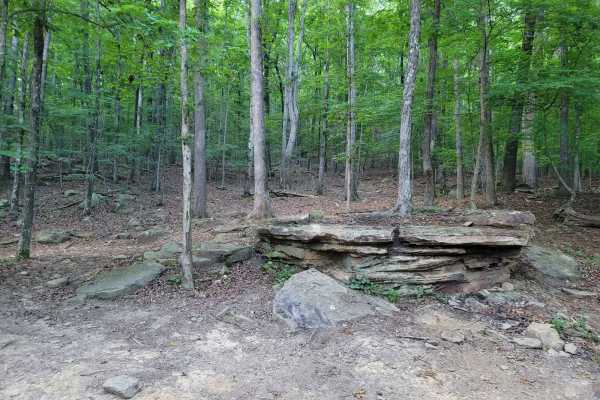
Trail 3
Trail 3, also known as Major Tom, is an approachable 0.9-mile off-road trail located within Adventure Off Road Park (AOP) in South Pittsburg, Tennessee, perfect for beginners and those looking for a scenic, relaxed drive. Featuring an elevation gain of roughly 266 feet and reaching a maximum elevati...
Learn more about Trail 3
Beginner ATV trails near Meridianville, Alabama
Explore ATV-friendly trails near you. These trails are accessible for vehicles up to 50 inches wide, perfect for ATVs and smaller off-road machines.
Flat Mountain Road - FS 270C
This is a tight, short out-and-back trail that winds through large stands of pine trees and passes old logging roads, along with a gate or two that are unlocked seasonally. Be sure to bring a saw, as fallen trees continue to block further access. The trail can be slick when muddy, so remember to tre...
Learn more about Flat Mountain Road - FS 270C
County Road 198 - FS272
This is a sparsely traveled trail that follows the telephone lines and weaves through private property, offering beautiful views of the local farmlands and surrounding landscape. The trail can be tricky during the muddy season, so be sure to check local conditions before heading out, and remember to...
Learn more about County Road 198 - FS272
Trail 12
Trail 12 is a short wooded trail near Trails 1 and 15. It is gently rolling with a few deep mudholes to contend with; most of them have bypasses. The park rating for this trail is Green (Easy). A Park Day-Use Trail Pass is required to access this system of trails. Cell service is spotty in places, a...
Learn more about Trail 12
Trail 8
AOP Trail 8 - Megabit is a root-filled trail from topsoil that has washed down the mountain leaving the toes of the trees exposed throughout. Overall the trail is a very easy connector trail with the exception of one spot in the middle with an exposed rock, and the entrance to the trail that is mild...
Learn more about Trail 8
Beginner UTV/side-by-side trails near Meridianville, Alabama
Find UTV and side-by-side trails near you. These trails accommodate vehicles up to 60 inches wide, ideal for UTVs, side-by-sides, and wider off-road rigs.
Poplar Springs Trail
This trail can be run in either direction but is best run from North to South. Starting at the North part you will head South. The trail is mostly down the mountain. There are areas that have large mud areas that will be slick and can be deep depending on the time of year. A few areas have some dro...
Learn more about Poplar Springs Trail
Flat Mountain Road - FS 270C
This is a tight, short out-and-back trail that winds through large stands of pine trees and passes old logging roads, along with a gate or two that are unlocked seasonally. Be sure to bring a saw, as fallen trees continue to block further access. The trail can be slick when muddy, so remember to tre...
Learn more about Flat Mountain Road - FS 270C
County Road 198 - FS272
This is a sparsely traveled trail that follows the telephone lines and weaves through private property, offering beautiful views of the local farmlands and surrounding landscape. The trail can be tricky during the muddy season, so be sure to check local conditions before heading out, and remember to...
Learn more about County Road 198 - FS272
Trail 12
Trail 12 is a short wooded trail near Trails 1 and 15. It is gently rolling with a few deep mudholes to contend with; most of them have bypasses. The park rating for this trail is Green (Easy). A Park Day-Use Trail Pass is required to access this system of trails. Cell service is spotty in places, a...
Learn more about Trail 12
The onX Offroad Difference
onX Offroad combines trail photos, descriptions, difficulty ratings, width restrictions, seasonality, and more in a user-friendly interface. Available on all devices, with offline access and full compatibility with CarPlay and Android Auto. Discover what you're missing today!
Open Trail Map