
Beginner Off-Road Trails
Near Marble, Minnesota
Explore All Beginner Trails Near Marble, Minnesota
Beginner Off-Road Trails Near Marble, Minnesota
Discover the best beginner-friendly off-road trails near you. These easier, lower-rated trails are a great place to start — browse trail maps, check difficulty ratings, and find your next adventure.

FS 3478
This trail sees very little use and has sections where small trees and branches have fallen across the path. After rain, the trail becomes quite muddy and can be slippery and bumpy, making travel more challenging. It winds through the forest and eventually reaches a junction marked by a sign stating...
Learn more about FS 3478

County Road 335
This trail is relatively wide, well-maintained, and sees regular use. It passes several homes and a Bible camp, so it's essential to watch for children near the road. As the trail approaches the boat launch area, it narrows slightly and ends near a quiet beach, offering a peaceful spot to stop and t...
Learn more about County Road 335
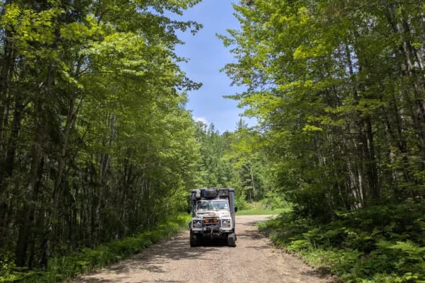
2143
This trail, also known as the 49, is one of the primary routes through the area, providing access to several lake communities as well as the Marcell Experimental Forest and the Spruce research sites. While the trail is generally wide and well maintained, it sees frequent use and has developed signif...
Learn more about 2143

FS 3851
This trail begins as a well-maintained route leading toward the Spruce Administrative area, where there is noticeable infrastructure and a mix of foot and vehicle traffic. As the trail continues, it narrows slightly while passing additional facilities before ending in a cul-de-sac. While not designe...
Learn more about FS 3851
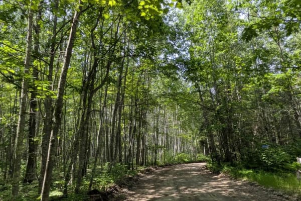
3853
This trail is wide and relatively well-maintained as it winds through the forest and leads into the Marcell Experimental Forest area, where you may encounter Forest Service vehicles. The surface can become slippery after rain, and several smaller trails branch off into the woods along the way. Signs...
Learn more about 3853
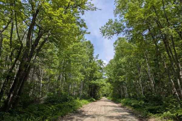
3755
This trail is a well-maintained and smooth gravel road. It is mostly straight but includes some gentle curves, as well as a few mild ascents and descents. Along the way, the trail passes a handful of private residences and a number of side trails that branch off from the main route. While there are ...
Learn more about 3755

246
This trail is wide, well-maintained, and sees regular use, passing several homes along the way. There are several access roads leading to the nearby lake, and the area features hiking and cross-country ski trails. However, the trail ends suddenly at a private property boundary, where the landowner a...
Learn more about 246

Suomi Clearwater Trail
This trail is a well-maintained gravel road that is wide and regularly used, primarily because it passes several homes and provides access to two campsites: Little Cottonwood Camp and Moose Lake Camp. Local traffic is common, so it's advisable to drive with caution. Both camps offer basic amenities,...
Learn more about Suomi Clearwater Trail
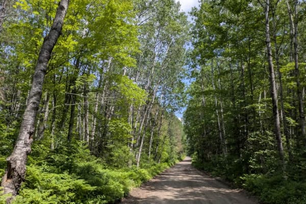
West Spider Lake Drive
This trail is relatively wide and generally well-maintained as it winds through the forest toward Spider Shore Lake and the small community that resides near its edge. While much of the surface is smooth, sections of the trail are bumpy and corrugated due to regular use by local traffic. The trail c...
Learn more about West Spider Lake Drive
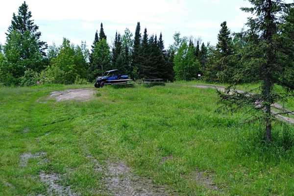
UPM Blandin Trail N
UPM Blandin Trail North area starts from the picnic area overlooking Cook Lake to the parking lot on Shingle Mill Road and Sugar Lake Trail. This section is 9.8 miles long with a travel time of about an hour at an average speed of 11.0 MPH. The trail is easy to follow with changes in scenery from li...
Learn more about UPM Blandin Trail N
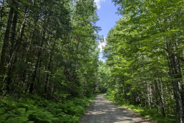
2373
This trail begins as a wide and well-maintained gravel road, making for an easy start, but conditions become more demanding as you progress. The path narrows and features several muddy sections, some of which are deeper and softer than they appear, so drivers should proceed with care. Further along,...
Learn more about 2373
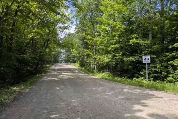
49
This trail follows a mostly wide and well-maintained gravel route that winds through a landscape of mixed fields and predominantly forested areas. Along the way, a few trails branch off from the main path, and there are occasional residences scattered throughout the route. As the trail approaches th...
Learn more about 49

Crooked Lake Road
This trail begins with a stretch of smooth red gravel that is easy to drive, leading to a turnaround area that also serves as a dispersed campsite with a rock fire ring. Beyond this point, the trail becomes noticeably rougher, with rocky and muddy sections, steep climbs and descents, and signs of wa...
Learn more about Crooked Lake Road
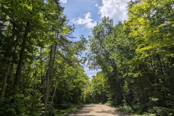
2147
This trail offers a scenic drive through dense forest along a winding route composed mostly of smooth, well-maintained gravel. While the surface is generally in good condition and suitable for most vehicles, drivers should remain attentive due to the presence of local traffic. The trail leads to a d...
Learn more about 2147

FS 2153
This trail is designated for highway-legal vehicles only and stretches for a considerable distance through forested terrain. It is relatively well-maintained overall. The trail begins as a straight section where Western Painted Turtles are often seen crossing, then becomes more winding with a series...
Learn more about FS 2153
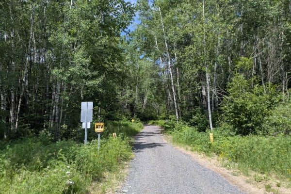
Connors Road
This trail consists mainly of wide, smooth, and well-graded gravel that runs between paved Highway 5 and the paved Dewey Lake Road. It is mostly straight, with a few mild ascents and descents along the way. Near its western end, close to Highway 5, the trail intersects with the Chisholm ATV trail, w...
Learn more about Connors Road
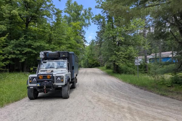
47
This trail follows a wide, well-maintained gravel road that winds through forested terrain and passes a handful of well-kept lake houses on the way to the Spider Shore Resort. The route includes a few gentle ascents and descents, and drivers should be alert for local traffic along the way. There are...
Learn more about 47
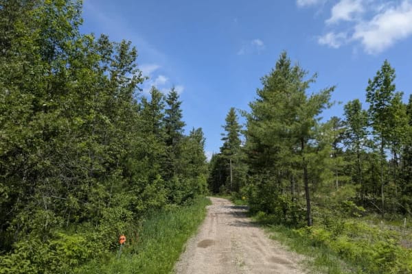
2671
This trail begins as a wide, muddy logging road with a rough, uneven surface and gradually deteriorates as you head deeper into the forest. You'll pass several cleared logging areas, but beyond the last one, the trail narrows considerably and becomes more overgrown. It winds through a series of asce...
Learn more about 2671
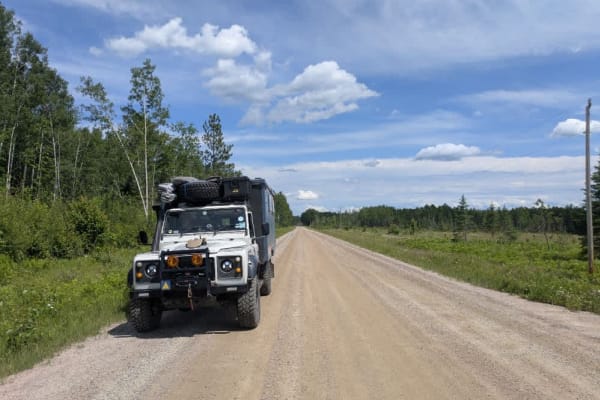
Hannon Road
This trail consists mostly of wide, well-graded gravel that remains smooth throughout most of its length. It eventually dead-ends at a cluster of private residences, so through traffic is not possible beyond that point. Along the way, the trail serves as a connector between two sections of the Chish...
Learn more about Hannon Road

FS 253
This trail is a long stretch of mostly straight, well-maintained gravel that travels through a combination of open fields and forested areas. The surface is generally smooth, though mild corrugation is present in sections and may be noticeable at higher speeds. Toward the end of the trail, there are...
Learn more about FS 253
Beginner ATV trails near Marble, Minnesota
Explore ATV-friendly trails near you. These trails are accessible for vehicles up to 50 inches wide, perfect for ATVs and smaller off-road machines.
2143
This trail, also known as the 49, is one of the primary routes through the area, providing access to several lake communities as well as the Marcell Experimental Forest and the Spruce research sites. While the trail is generally wide and well maintained, it sees frequent use and has developed signif...
Learn more about 2143
3853
This trail is wide and relatively well-maintained as it winds through the forest and leads into the Marcell Experimental Forest area, where you may encounter Forest Service vehicles. The surface can become slippery after rain, and several smaller trails branch off into the woods along the way. Signs...
Learn more about 3853
UPM Blandin Trail N
UPM Blandin Trail North area starts from the picnic area overlooking Cook Lake to the parking lot on Shingle Mill Road and Sugar Lake Trail. This section is 9.8 miles long with a travel time of about an hour at an average speed of 11.0 MPH. The trail is easy to follow with changes in scenery from li...
Learn more about UPM Blandin Trail N
2373
This trail begins as a wide and well-maintained gravel road, making for an easy start, but conditions become more demanding as you progress. The path narrows and features several muddy sections, some of which are deeper and softer than they appear, so drivers should proceed with care. Further along,...
Learn more about 2373
Beginner UTV/side-by-side trails near Marble, Minnesota
Find UTV and side-by-side trails near you. These trails accommodate vehicles up to 60 inches wide, ideal for UTVs, side-by-sides, and wider off-road rigs.
2143
This trail, also known as the 49, is one of the primary routes through the area, providing access to several lake communities as well as the Marcell Experimental Forest and the Spruce research sites. While the trail is generally wide and well maintained, it sees frequent use and has developed signif...
Learn more about 2143
3853
This trail is wide and relatively well-maintained as it winds through the forest and leads into the Marcell Experimental Forest area, where you may encounter Forest Service vehicles. The surface can become slippery after rain, and several smaller trails branch off into the woods along the way. Signs...
Learn more about 3853
UPM Blandin Trail N
UPM Blandin Trail North area starts from the picnic area overlooking Cook Lake to the parking lot on Shingle Mill Road and Sugar Lake Trail. This section is 9.8 miles long with a travel time of about an hour at an average speed of 11.0 MPH. The trail is easy to follow with changes in scenery from li...
Learn more about UPM Blandin Trail N
2373
This trail begins as a wide and well-maintained gravel road, making for an easy start, but conditions become more demanding as you progress. The path narrows and features several muddy sections, some of which are deeper and softer than they appear, so drivers should proceed with care. Further along,...
Learn more about 2373
The onX Offroad Difference
onX Offroad combines trail photos, descriptions, difficulty ratings, width restrictions, seasonality, and more in a user-friendly interface. Available on all devices, with offline access and full compatibility with CarPlay and Android Auto. Discover what you're missing today!
Open Trail Map