
Beginner Off-Road Trails
Near Linden, Wisconsin
Explore All Beginner Trails Near Linden, Wisconsin
Beginner Off-Road Trails Near Linden, Wisconsin
Discover the best beginner-friendly off-road trails near you. These easier, lower-rated trails are a great place to start — browse trail maps, check difficulty ratings, and find your next adventure.
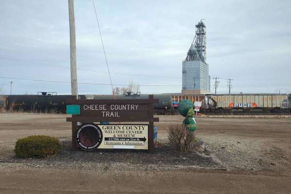
CCRT - Calamine to Mineral Point
CCRT - Calamine to Mineral Point is a 9.4-mile point-to-point trail rated 2 of 10 located in Lafayette and Iowa Counties. This is a well-maintained trail consisting of crushed stone and gravel. This section of the trail crosses the Pecatonica River in several locations as well as a couple of minor c...
Learn more about CCRT - Calamine to Mineral Point
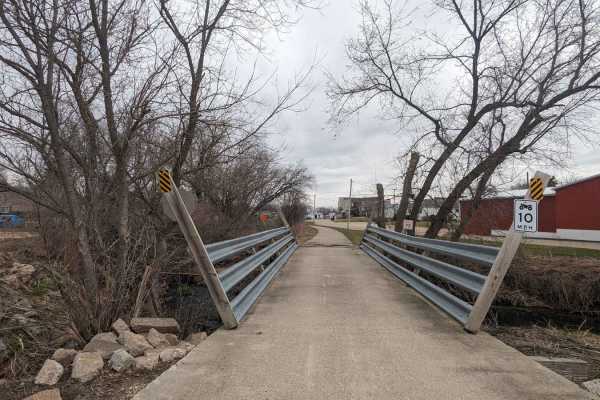
Pecatonica State Trail
Pecatonica State Trail is a 10-mile point-to-point trail rated 2 of 10 located in Lafayette County. The Pecatonica Trail is an east/west running trail between the communities of Belmont and Calamine. The eastern end of the trail connects with the Cheese Country Recreational Trail, which also allows ...
Learn more about Pecatonica State Trail
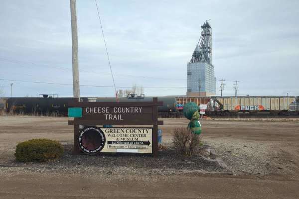
CCRT - Darlington to Calamine
CCRT - Darlington to Calamine is a 5.8-mile point-to-point trail rated 2 of 10 located in Lafayette County. This is a well-maintained trail consisting of crushed stone and gravel. There are two bridge crossings along the trail. This section of the trail ends just south of the community of Calamine a...
Learn more about CCRT - Darlington to Calamine
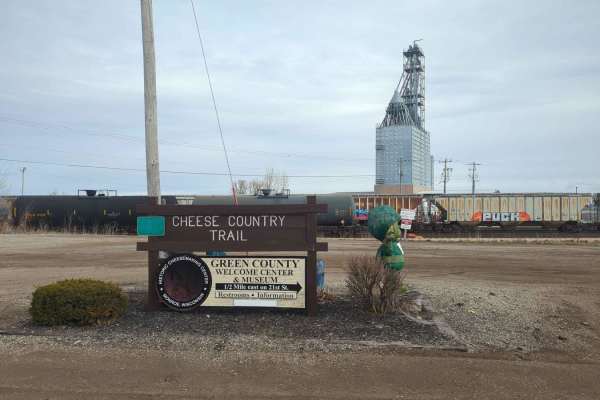
CCRT - Gratiot to Darlington
CCRT - Gratiot to Darlington is a 10-mile point-to-point trail rated 2 of 10 located in Lafayette County. This is a well-maintained trail consisting of crushed stone and gravel. This section of the CCRT is the longest section between communities. It is also the easiest section to travel, as there ar...
Learn more about CCRT - Gratiot to Darlington
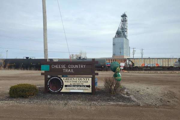
CCRT - South Wayne to Gratiot
CCRT - South Wayne to Gratiot is a 9.3-mile point-to-point trail rated 2 of 10 located in Lafayette County. This is a well-maintained trail consisting of crushed stone and gravel. The section of the CCRT runs along the side of the Pecatonica River and through rolling country farmland. This trail als...
Learn more about CCRT - South Wayne to Gratiot
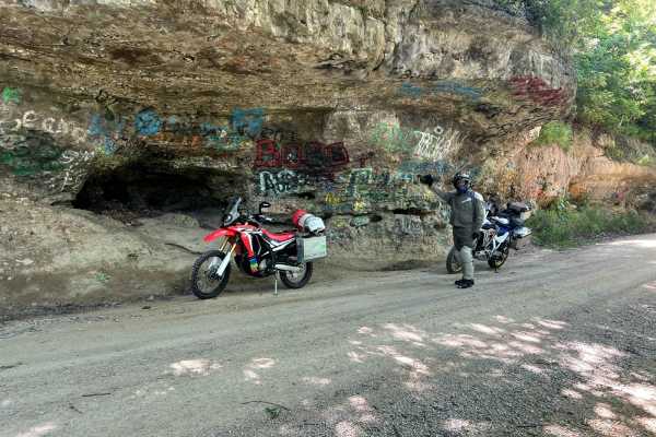
Trans Wisconsin Adventure Trail (Southern Portion)
Route leads from the Illinois border to Sparta. Mostly paved, good mix of gravel roads and trail. Yellow River State Forest in Iowa is a highlight. Make sure to stop at the famous rock overhang. There is a Cabela's in Prairie du Chien if you need any extra camp gear for the ride.
Learn more about Trans Wisconsin Adventure Trail (Southern Portion)
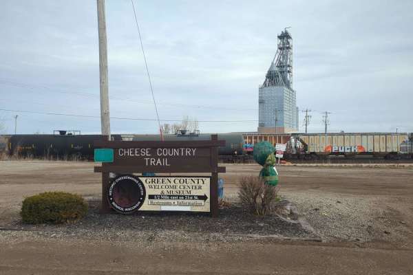
CCRT - Browntown to South Wayne
CCRT - Browntown to South Wayne is a 4.7-mile point-to-point trail rated 2 of 10 located in both Green and Lafayette Counties. This is a well-maintained trail consisting of crushed stone and gravel and features bridges. A half-mile west after departing Browntown, the CCRT crosses the 440-foot Brownt...
Learn more about CCRT - Browntown to South Wayne
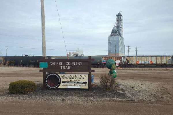
CCRT - Monroe to Browntown
CCRT - Monroe to Browntown is a 7.3-mile point-to-point trail rated 2 of 10 located in Green County. This is a well-maintained trail consisting of crushed stone and gravel. The trailhead starts on the western side of Monroe with a parking area just off of 4th Avenue West. Starting in Monroe, the tra...
Learn more about CCRT - Monroe to Browntown
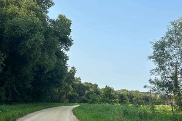
Oak Road
Oak Street is an easy gravel road that winds through the area very close to the mighty Mississippi River. The road is all gravel, and you may find hikers making their way toward the end of the trail, which is one of the best reasons to explore it. At the end of the trail is a canoe port for those co...
Learn more about Oak Road
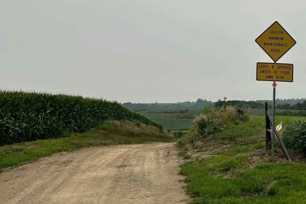
Imperial Avenue
Imperial Avenue, just west of Marquette, Iowa, is a great example of the rugged terrain carved by rivers and glaciers throughout this part of the state. The trail starts as gravel, passing a few farms before gradually dropping into the fields and woods on a two-track that turns to dirt and rocks. As...
Learn more about Imperial Avenue
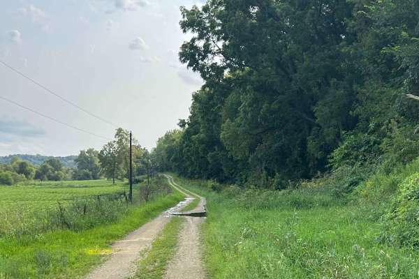
Icehouse Road
Icehouse Road is a good trail that can be done fairly quickly while exploring the area. The trail can be traveled from either end and winds alongside Elk Creek, with woods surrounding much of the route. After a good rain, the road can become muddy and water-filled, with plenty of puddles to splash t...
Learn more about Icehouse Road
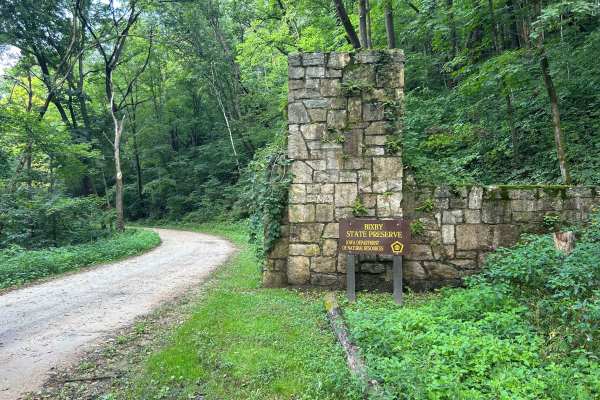
Fortune Road
Fortune Road is a true hidden gem in Iowa, winding through a rugged valley that feels like a road time forgot. The trail can be started from either Edgewood or the north side and follows a rocky, two-lane road as it meanders down from the ridge, passing dramatic cliffs and beautiful wooded scenery a...
Learn more about Fortune Road
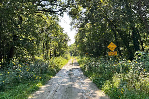
Dolphin Avenue
Dolphin Avenue is a great example of traditional Iowa back road travel, winding through fields, wooded areas, and hunting country while following a small creek along part of the route. The road has a few rocky sections and can become more challenging when wet, with access points leading toward field...
Learn more about Dolphin Avenue
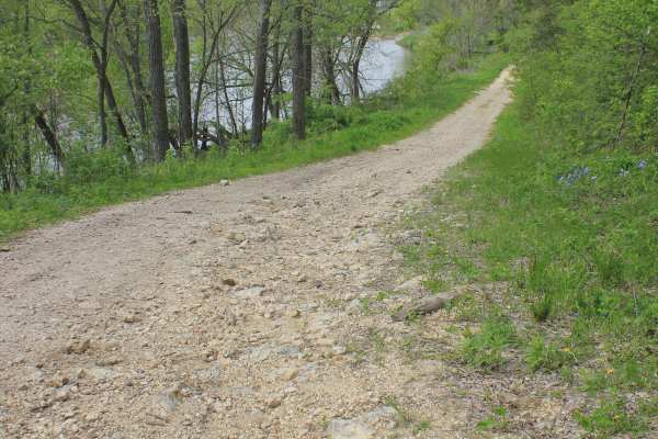
Big Springs Old Log Road
This Turkey River backcountry trail is one of those hidden Iowa routes that most people would never notice unless someone local pointed them toward it. Used mainly by farmers, hunters during the fall season, and those looking for a quiet way to access the river, this Class 8 road offers a laid-back ...
Learn more about Big Springs Old Log Road
Beginner ATV trails near Linden, Wisconsin
Explore ATV-friendly trails near you. These trails are accessible for vehicles up to 50 inches wide, perfect for ATVs and smaller off-road machines.
CCRT - Calamine to Mineral Point
CCRT - Calamine to Mineral Point is a 9.4-mile point-to-point trail rated 2 of 10 located in Lafayette and Iowa Counties. This is a well-maintained trail consisting of crushed stone and gravel. This section of the trail crosses the Pecatonica River in several locations as well as a couple of minor c...
Learn more about CCRT - Calamine to Mineral Point
Pecatonica State Trail
Pecatonica State Trail is a 10-mile point-to-point trail rated 2 of 10 located in Lafayette County. The Pecatonica Trail is an east/west running trail between the communities of Belmont and Calamine. The eastern end of the trail connects with the Cheese Country Recreational Trail, which also allows ...
Learn more about Pecatonica State Trail
CCRT - Darlington to Calamine
CCRT - Darlington to Calamine is a 5.8-mile point-to-point trail rated 2 of 10 located in Lafayette County. This is a well-maintained trail consisting of crushed stone and gravel. There are two bridge crossings along the trail. This section of the trail ends just south of the community of Calamine a...
Learn more about CCRT - Darlington to Calamine
CCRT - Gratiot to Darlington
CCRT - Gratiot to Darlington is a 10-mile point-to-point trail rated 2 of 10 located in Lafayette County. This is a well-maintained trail consisting of crushed stone and gravel. This section of the CCRT is the longest section between communities. It is also the easiest section to travel, as there ar...
Learn more about CCRT - Gratiot to Darlington
Beginner UTV/side-by-side trails near Linden, Wisconsin
Find UTV and side-by-side trails near you. These trails accommodate vehicles up to 60 inches wide, ideal for UTVs, side-by-sides, and wider off-road rigs.
Oak Road
Oak Street is an easy gravel road that winds through the area very close to the mighty Mississippi River. The road is all gravel, and you may find hikers making their way toward the end of the trail, which is one of the best reasons to explore it. At the end of the trail is a canoe port for those co...
Learn more about Oak Road
Imperial Avenue
Imperial Avenue, just west of Marquette, Iowa, is a great example of the rugged terrain carved by rivers and glaciers throughout this part of the state. The trail starts as gravel, passing a few farms before gradually dropping into the fields and woods on a two-track that turns to dirt and rocks. As...
Learn more about Imperial Avenue
Icehouse Road
Icehouse Road is a good trail that can be done fairly quickly while exploring the area. The trail can be traveled from either end and winds alongside Elk Creek, with woods surrounding much of the route. After a good rain, the road can become muddy and water-filled, with plenty of puddles to splash t...
Learn more about Icehouse Road
Fortune Road
Fortune Road is a true hidden gem in Iowa, winding through a rugged valley that feels like a road time forgot. The trail can be started from either Edgewood or the north side and follows a rocky, two-lane road as it meanders down from the ridge, passing dramatic cliffs and beautiful wooded scenery a...
Learn more about Fortune Road
The onX Offroad Difference
onX Offroad combines trail photos, descriptions, difficulty ratings, width restrictions, seasonality, and more in a user-friendly interface. Available on all devices, with offline access and full compatibility with CarPlay and Android Auto. Discover what you're missing today!
Open Trail Map