
Beginner Off-Road Trails
Near Lavina, Montana
Explore All Beginner Trails Near Lavina, Montana
Beginner Off-Road Trails Near Lavina, Montana
Discover the best beginner-friendly off-road trails near you. These easier, lower-rated trails are a great place to start — browse trail maps, check difficulty ratings, and find your next adventure.
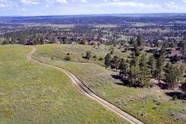
Horsethief Recreation Area
Horsethief Recreation Area has easy dirt trails with few steep sections or obstacles. Trails are all connected or out-and-back, so it is unlikely that people will get lost out here. This is the main route connecting the north and south access/parking areas. There are several trails off of this main ...
Learn more about Horsethief Recreation Area
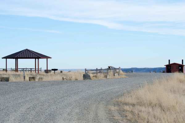
Acton Recreation Area
There are approximately 6.5 miles of roads used for motorized use in this area. Although not very technical, the roads provide off-roaders of all skill level an area to practice and explore on their mountain bike, dirt bike, ATV or SxS, or high clearance vehicle. No off-road motorized vehicle use is...
Learn more about Acton Recreation Area
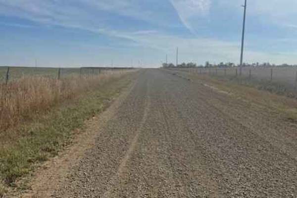
Rapelje Road
This is a gravel road connector from Big Timber to Rapelje. You will see more antelope and cows than cars or people along this route. Most of the road is surrounded by private property, so zero camping opportunities exist. There are services in Big Timber, but none in Rapelje, so be prepared. There...
Learn more about Rapelje Road
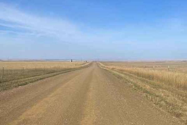
Molt Rapelje Road
This is a gravel road connector from Molt to Rapelje. You will see more antelope and cows than cars or people along this route. Most of the road is surrounded by private property, so there are no camping opportunities on this route. There are no services between the two small towns, so be prepared w...
Learn more about Molt Rapelje Road
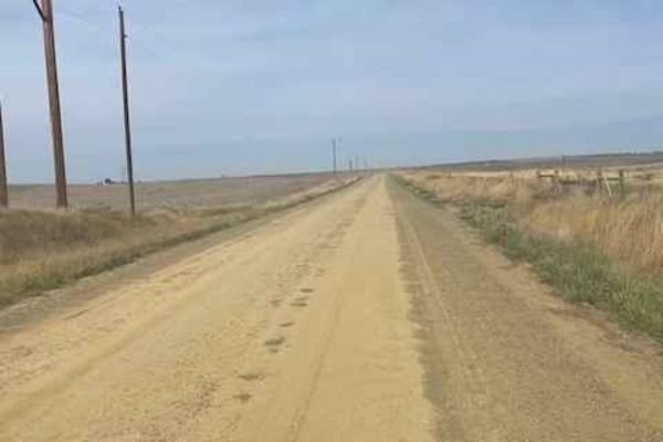
Columbus Molt Road
This is a gravel road connector from Columbus to Molt. You will see more antelope and cows than cars or people along this route. Most of the road is surrounded by private property, so zero camping opportunities exist. There are services in Columbus, but none in Molt, so be prepared. There is fairly ...
Learn more about Columbus Molt Road
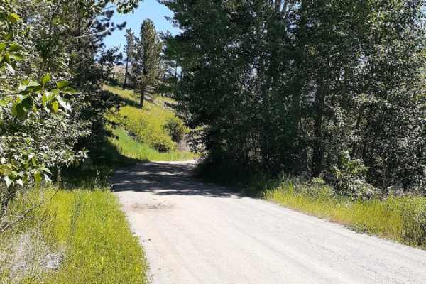
West Bridger Creek Cruise
A well-established trail, with some paved and gravel patches leading to the National Forest, the last 5 miles are the main dirt trail. The trail can be driven up to the Tie Cutter Gulch TH; from that point, vehicle width is restricted to less than 50 inches and dates of use. One will encounter some ...
Learn more about West Bridger Creek Cruise
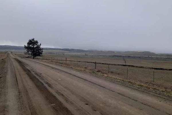
Stillwater River Road
This is a well-maintained gravel road that follows the Stillwater River. It's open year-round with limited access during heavy snowy weather. The first 6.5 miles is a paved two-lane road west of Absarokee before turning into gravel and then back into pavement 1.2 miles before the junction with Nye R...
Learn more about Stillwater River Road
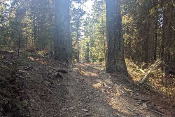
Willow Park
Willow Park is a 50-inch trail that connects the Russell Point area to the Haymaker Park area via trails 464, 189, 619, and 606. You may also see the names Willow Park, Burley Creek, Daisy Canyon, Upper Daisy, Nevada Creek, and Daisy Dean Creek on the map along this route. If you're camped out anywh...
Learn more about Willow Park
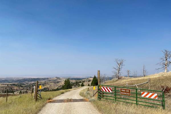
Iron Mountain Road
Iron Mountain Road is a very scenic gravel road that becomes slightly narrower the further along you drive. Once passing the entrance gate you officially enter Gallatin National Forest and dispersed campsites can be found along the road with fire rings. From the entrance is at 7.6 miles to campsite ...
Learn more about Iron Mountain Road
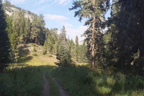
Hay Canyon Trail
Open July 1 - Oct 14. Hay Canyon Trail is in the Little Belt Mountains, located in the Lewis and Clark National Forest, Southeast of Great Falls and Northwest of Harlowton, Montana. From Hay Canyon Campground, the Eastern end of the trail goes through a canyon that has some heavily forested areas. A...
Learn more about Hay Canyon Trail
Beginner ATV trails near Lavina, Montana
Explore ATV-friendly trails near you. These trails are accessible for vehicles up to 50 inches wide, perfect for ATVs and smaller off-road machines.
Horsethief Recreation Area
Horsethief Recreation Area has easy dirt trails with few steep sections or obstacles. Trails are all connected or out-and-back, so it is unlikely that people will get lost out here. This is the main route connecting the north and south access/parking areas. There are several trails off of this main ...
Learn more about Horsethief Recreation Area
Acton Recreation Area
There are approximately 6.5 miles of roads used for motorized use in this area. Although not very technical, the roads provide off-roaders of all skill level an area to practice and explore on their mountain bike, dirt bike, ATV or SxS, or high clearance vehicle. No off-road motorized vehicle use is...
Learn more about Acton Recreation Area
Rapelje Road
This is a gravel road connector from Big Timber to Rapelje. You will see more antelope and cows than cars or people along this route. Most of the road is surrounded by private property, so zero camping opportunities exist. There are services in Big Timber, but none in Rapelje, so be prepared. There...
Learn more about Rapelje Road
Columbus Molt Road
This is a gravel road connector from Columbus to Molt. You will see more antelope and cows than cars or people along this route. Most of the road is surrounded by private property, so zero camping opportunities exist. There are services in Columbus, but none in Molt, so be prepared. There is fairly ...
Learn more about Columbus Molt Road
Beginner UTV/side-by-side trails near Lavina, Montana
Find UTV and side-by-side trails near you. These trails accommodate vehicles up to 60 inches wide, ideal for UTVs, side-by-sides, and wider off-road rigs.
Horsethief Recreation Area
Horsethief Recreation Area has easy dirt trails with few steep sections or obstacles. Trails are all connected or out-and-back, so it is unlikely that people will get lost out here. This is the main route connecting the north and south access/parking areas. There are several trails off of this main ...
Learn more about Horsethief Recreation Area
Acton Recreation Area
There are approximately 6.5 miles of roads used for motorized use in this area. Although not very technical, the roads provide off-roaders of all skill level an area to practice and explore on their mountain bike, dirt bike, ATV or SxS, or high clearance vehicle. No off-road motorized vehicle use is...
Learn more about Acton Recreation Area
Rapelje Road
This is a gravel road connector from Big Timber to Rapelje. You will see more antelope and cows than cars or people along this route. Most of the road is surrounded by private property, so zero camping opportunities exist. There are services in Big Timber, but none in Rapelje, so be prepared. There...
Learn more about Rapelje Road
Columbus Molt Road
This is a gravel road connector from Columbus to Molt. You will see more antelope and cows than cars or people along this route. Most of the road is surrounded by private property, so zero camping opportunities exist. There are services in Columbus, but none in Molt, so be prepared. There is fairly ...
Learn more about Columbus Molt Road
The onX Offroad Difference
onX Offroad combines trail photos, descriptions, difficulty ratings, width restrictions, seasonality, and more in a user-friendly interface. Available on all devices, with offline access and full compatibility with CarPlay and Android Auto. Discover what you're missing today!
Open Trail Map