
Beginner Off-Road Trails
Near Lampasas, Texas
Explore All Beginner Trails Near Lampasas, Texas
Beginner Off-Road Trails Near Lampasas, Texas
Discover the best beginner-friendly off-road trails near you. These easier, lower-rated trails are a great place to start — browse trail maps, check difficulty ratings, and find your next adventure.
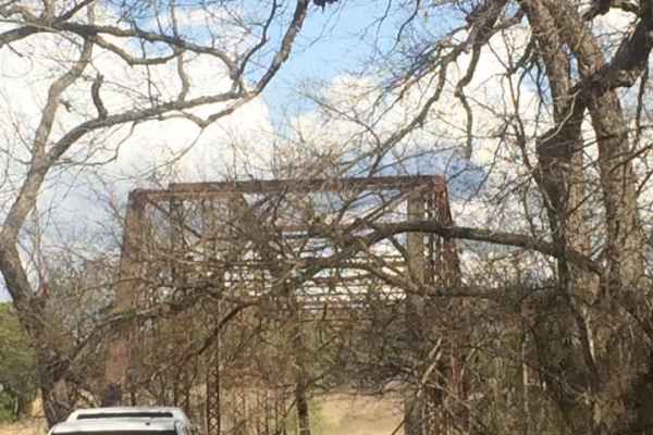
Chisholm Trail Byway
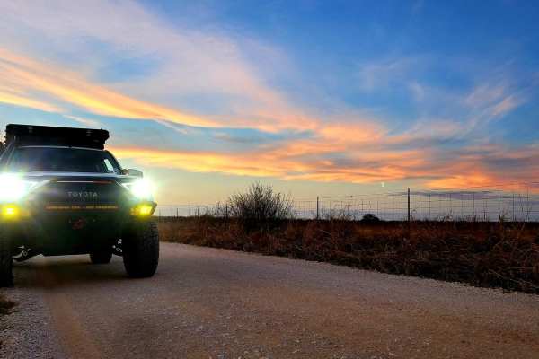
Saba Stroll
Cutting from Hwy 16 to Hwy 190 around the town of San Saba and over the San Saba River, this quick drive offers beautiful views of the Texas countryside. A long straight stretch through grazing fields and under power lines leads to a grave yard flanked by a large power station, offering a stark cont...
Learn more about Saba Stroll
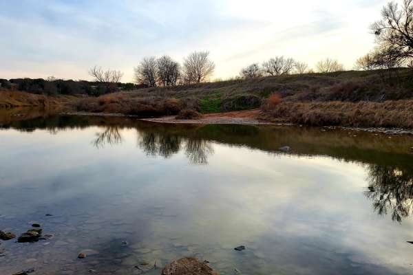
Double Ford
Step off the beaten path and explore the area flanking the Colorado River between San Saba and Goldthwaite. Starting near Hwy 190 in Lometa, this trail begins with a short dirt stretch and then transitions to a few miles of paved county road. Once the road passes the train tracks, it becomes dirt wi...
Learn more about Double Ford
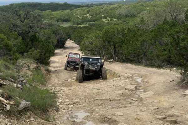
North Peak
At just 0.3 miles in length, this trail is more of an obstacle in itself. Most of the trail has large erosion down the middle that will test the limits of just about any suspension setup. You will find two sets of rock ledges to work over along the way. There are bypasses to each of these for those ...
Learn more about North Peak
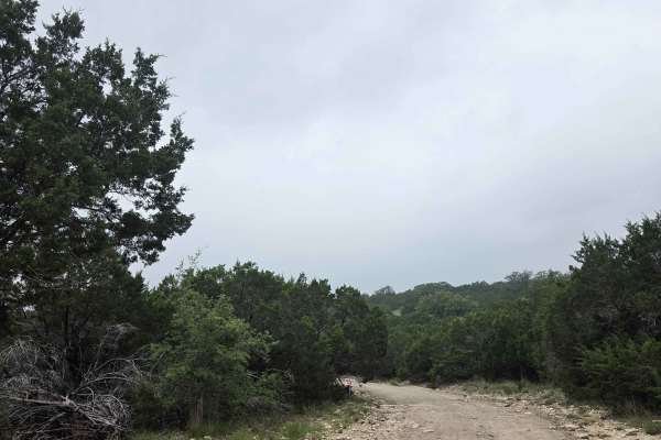
West ATV/UTV
The West ATV/UTV Trail primarily follows the park’s western boundary line and serves as a key access route to several of the more challenging ATV/UTV trails within the park. Because it passes through a major trail network intersection, it is commonly used by riders traveling between multiple trail s...
Learn more about West ATV/UTV
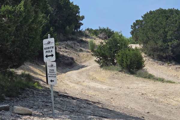
Park Road 3 Spur
Park Road 3 Spur is primarily a dirt road extension of Park Road 3, serving as a connector through the northern section of the park. It’s commonly used to access the park’s northern areas or to reach the main overlook when coming from the North Pole. The route is generally straightforward, but it do...
Learn more about Park Road 3 Spur
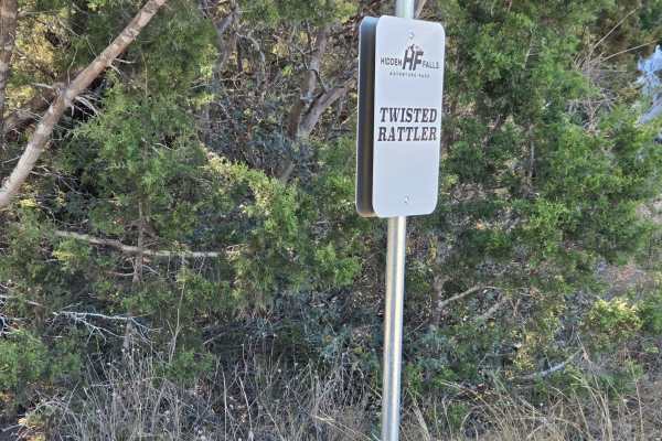
Twisted Rattler
Twisted Rattler is a trail that runs parallel to Green Horn 2 and is currently the newest trail in the park. It is also primarily used as a bypass or bailout around the approximate halfway point of the Green Horn trail when conditions become overly rocky or challenging. The trail also serves as a co...
Learn more about Twisted Rattler
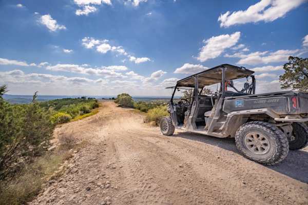
Park Road 3
This is a great starter trail for anyone new to off-roading! With light climbs, turns, and dirt conditions this is an awesome trail to get newbies, and others accustomed to the trails and terrain that are offered here at Hidden Falls. There are a few other lines available when climbing WildCat Mount...
Learn more about Park Road 3
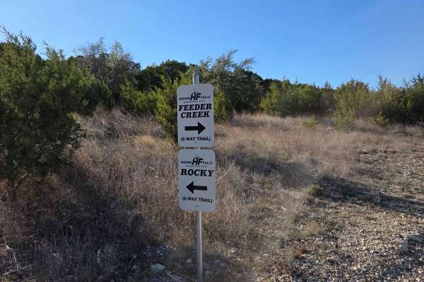
Feeder Creek
Feeder Creek is a connecting trail that runs between Rocky and North Pole, offering an excellent alternative for those who want to bypass Green Horn 2 or watch more capable rigs tackle it, as the two trails run parallel. Feeder Creek is primarily composed of hard-packed dirt and features very few ob...
Learn more about Feeder Creek
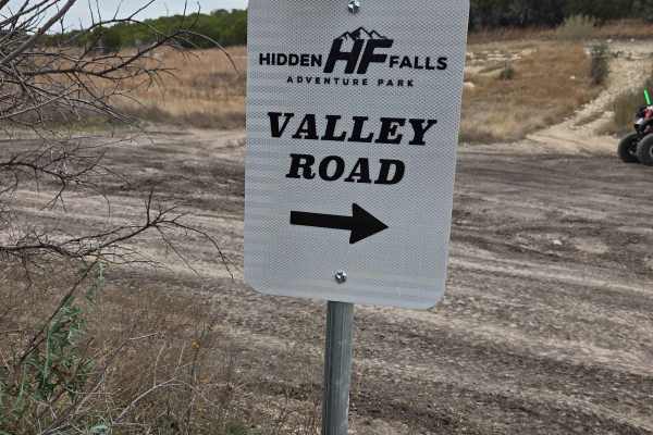
Valley Road
Valley Road is an excellent beginner-friendly trail that runs parallel to a much more difficult section of FM TRO. The trail is primarily dirt and gravel, with a few gentle twists and turns that keep it enjoyable without being technical. Some areas contain very light mud ruts, but there is little to...
Learn more about Valley Road
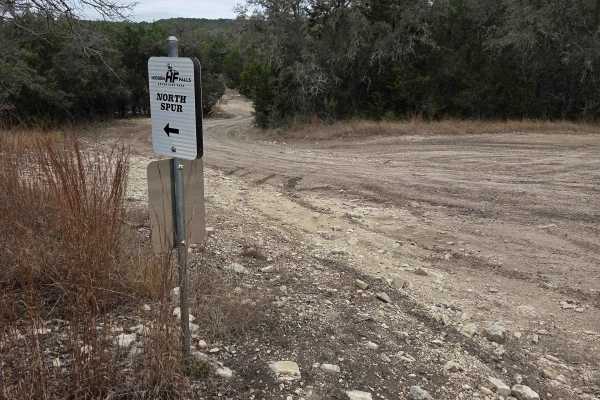
North Spur
North Spur is a connecting trail that links Park Road 2 to the trail known as North Pole. It is primarily used to bypass some of the more difficult sections of North Pole and Say A Prayer, or to provide quicker access to those challenging obstacles directly from Park Road 2. The trail is mostly a fl...
Learn more about North Spur
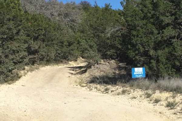
Rocky
This is an easy dirt/rock trail with no real obstacles. Any type of vehicle can ride this trail, unless it is wet--then you would need 4-wheel drive. The trail meanders through cedar trees in the middle of the park and gives access to many other trails. Some of these trails are extreme rock climbing...
Learn more about Rocky
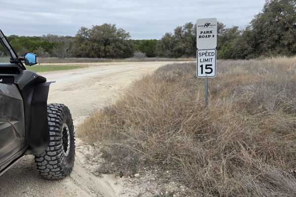
Park Road 4
Park Road 4 is the primary access road used to reach the designated ATV and UTV areas of the park. This road also serves as a connector to FM TRO, which is the only full-size vehicle trail on this side of the park. The surface is mostly gravel, with the occasional baseball-sized rock scattered throu...
Learn more about Park Road 4

Vista ATV/UTV
Vista ATV/UTV is a trail that primarily consists of a flat, smooth dirt road with minimal obstacles. The route gradually winds through wooded areas, offering an easy and enjoyable drive for riders of varying experience levels. While most of the trail is wide and accessible, some sections pass close ...
Learn more about Vista ATV/UTV
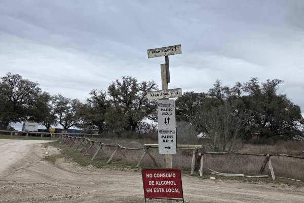
Park Road 2
Park Road 2 is primarily used to access the full-size vehicle portion of the park. The majority of full-size vehicle trails connect directly to this road, making it very convenient for linking multiple trails in succession. As you travel deeper into the trail network, Park Road 2 will lead you to th...
Learn more about Park Road 2
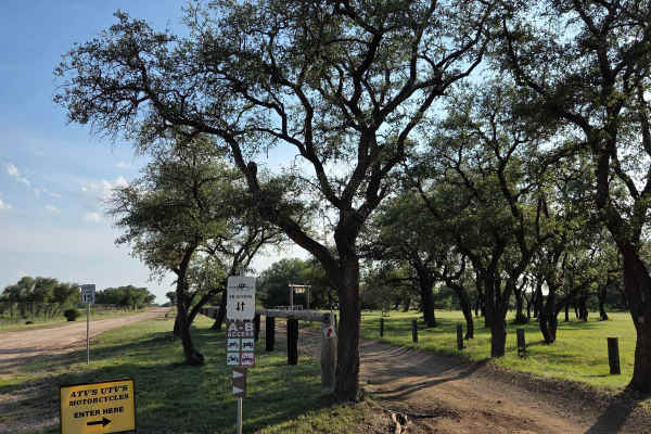
AB Access Trail
The AB Access Trail serves as the primary route for all ATV, UTV, and motorcycle traffic traveling between Area A and Area B. These vehicles are not permitted on Park Road 1 until reaching Area B near the general store. The trail runs parallel to Park Road 1 and provides a designated path for non-fu...
Learn more about AB Access Trail
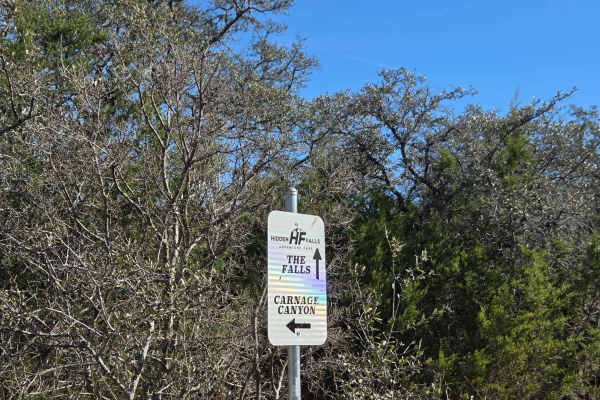
The Falls
"The Falls" is a short trail that branches off Park Road 2. It is a non-technical trail that leads to the top of the rock formation known as “The Falls,” which is what Hidden Falls Adventure Park is named after. The trail is mostly a dirt road with a small amount of exposed rock and one washout loca...
Learn more about The Falls
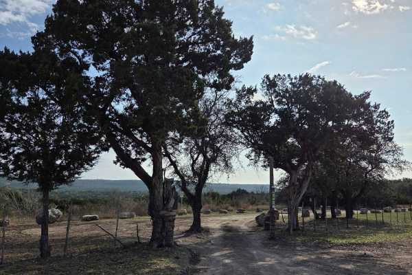
Baby Back
Baby Back is a very scenic trail located on the eastern park boundary. The trail begins at the campground known as Zip’s Corner. It features both elevation gains and losses as you crest a mountaintop, with multiple rock ledges and stair steps encountered throughout the route. Bypasses are available ...
Learn more about Baby Back
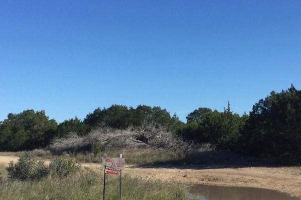
Hog Alley
This trail is an easy crossover between one of the main park roads and other, more challenging trails. It ends at International Highway, which has a rating of 5 due to the drop-in, but has a bypass. After rains, several large mud holes fill with water but have bypasses (except for one), so be prepar...
Learn more about Hog Alley
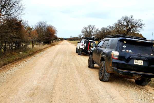
Cherokee Creek
Meander through the north end of the Texas Hill Country along Cherokee Creek following unpaved county roads. Starting in the small town of Cherokee, this trail begins by turning onto County Road 409 from Hwy 16. Around the first bend in the road, pavement quickly turns to dirt and stays that way for...
Learn more about Cherokee Creek
Beginner ATV trails near Lampasas, Texas
Explore ATV-friendly trails near you. These trails are accessible for vehicles up to 50 inches wide, perfect for ATVs and smaller off-road machines.
North Peak
At just 0.3 miles in length, this trail is more of an obstacle in itself. Most of the trail has large erosion down the middle that will test the limits of just about any suspension setup. You will find two sets of rock ledges to work over along the way. There are bypasses to each of these for those ...
Learn more about North Peak
West ATV/UTV
The West ATV/UTV Trail primarily follows the park’s western boundary line and serves as a key access route to several of the more challenging ATV/UTV trails within the park. Because it passes through a major trail network intersection, it is commonly used by riders traveling between multiple trail s...
Learn more about West ATV/UTV
Park Road 3 Spur
Park Road 3 Spur is primarily a dirt road extension of Park Road 3, serving as a connector through the northern section of the park. It’s commonly used to access the park’s northern areas or to reach the main overlook when coming from the North Pole. The route is generally straightforward, but it do...
Learn more about Park Road 3 Spur
Twisted Rattler
Twisted Rattler is a trail that runs parallel to Green Horn 2 and is currently the newest trail in the park. It is also primarily used as a bypass or bailout around the approximate halfway point of the Green Horn trail when conditions become overly rocky or challenging. The trail also serves as a co...
Learn more about Twisted Rattler
Beginner UTV/side-by-side trails near Lampasas, Texas
Find UTV and side-by-side trails near you. These trails accommodate vehicles up to 60 inches wide, ideal for UTVs, side-by-sides, and wider off-road rigs.
North Peak
At just 0.3 miles in length, this trail is more of an obstacle in itself. Most of the trail has large erosion down the middle that will test the limits of just about any suspension setup. You will find two sets of rock ledges to work over along the way. There are bypasses to each of these for those ...
Learn more about North Peak
West ATV/UTV
The West ATV/UTV Trail primarily follows the park’s western boundary line and serves as a key access route to several of the more challenging ATV/UTV trails within the park. Because it passes through a major trail network intersection, it is commonly used by riders traveling between multiple trail s...
Learn more about West ATV/UTV
Park Road 3 Spur
Park Road 3 Spur is primarily a dirt road extension of Park Road 3, serving as a connector through the northern section of the park. It’s commonly used to access the park’s northern areas or to reach the main overlook when coming from the North Pole. The route is generally straightforward, but it do...
Learn more about Park Road 3 Spur
Twisted Rattler
Twisted Rattler is a trail that runs parallel to Green Horn 2 and is currently the newest trail in the park. It is also primarily used as a bypass or bailout around the approximate halfway point of the Green Horn trail when conditions become overly rocky or challenging. The trail also serves as a co...
Learn more about Twisted Rattler
The onX Offroad Difference
onX Offroad combines trail photos, descriptions, difficulty ratings, width restrictions, seasonality, and more in a user-friendly interface. Available on all devices, with offline access and full compatibility with CarPlay and Android Auto. Discover what you're missing today!
Open Trail Map