
Beginner Off-Road Trails
Near Kennedy, Alabama
Explore All Beginner Trails Near Kennedy, Alabama
Beginner Off-Road Trails Near Kennedy, Alabama
Discover the best beginner-friendly off-road trails near you. These easier, lower-rated trails are a great place to start — browse trail maps, check difficulty ratings, and find your next adventure.
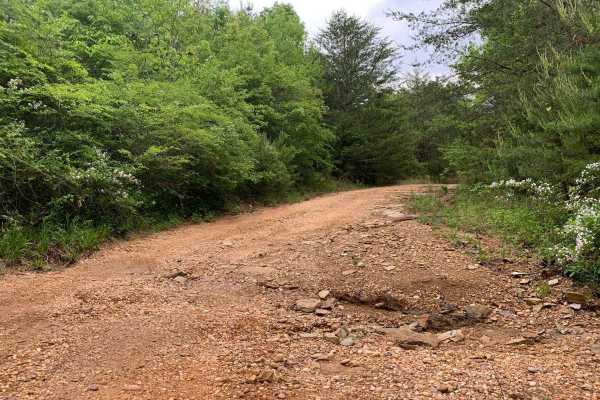
Turkey Creek Road
Turkey Creek Road is an ideal route for beginner offroaders and scenic drivers looking to escape into a dense, picturesque Alabama forest filled with opportunities for wildlife viewing and photography. Stretching roughly 2.3 miles along the Marion County border, this public unmaintained road offers ...
Learn more about Turkey Creek Road
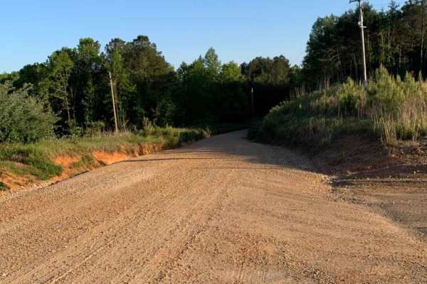
Warrior Cemetery Road
Warrior Cemetery Road is an easy, scenic 5.8-mile route through Alabama's Mulberry Fork Wildlife Management Area, offering a perfect entry point for beginners, families, and outdoor enthusiasts seeking a relaxed day of exploring. As one of the primary access corridors in the WMA, this route features...
Learn more about Warrior Cemetery Road
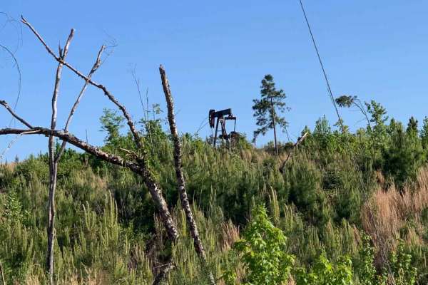
Camp Creek
An out and back trail offering access to Mulberry Fork WMA. There are opportunities for hunting, fishing, and photography, as well as a great lunch spot overlooking Bankhead Lake on the Black Warrior River at the end. There are several seasonal trails that are accessible from this trail.
Learn more about Camp Creek

Black Cat Bottom
Black Cat Bottom is an easy-going, 3.8-mile off-road trail near Aberdeen, Mississippi, that is perfect for beginners and scenic cruisers looking for a relaxing drive through lush southern woodlands. Starting off State Highway 6, this flat route features a primarily dirt and gravel surface with a min...
Learn more about Black Cat Bottom
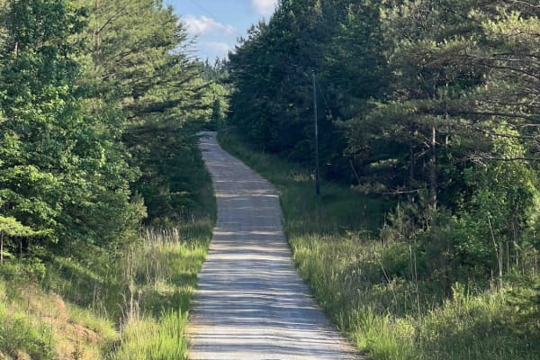
Meadow Creek Road
Meadow Creek Road or Winston County 357 is a maintained public gravel road running North from Highway 278 through Pine Timber Forestlands to Yankee Trace Road just before Highway 13. Meadow Creek Road offers an easy drive with ample opportunity for wildlife viewing as well as great views of the surr...
Learn more about Meadow Creek Road
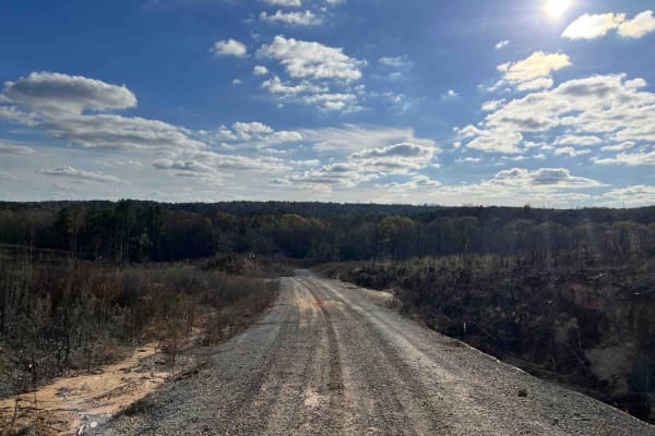
CR339
County Road 339 is a somewhat maintained public gravel road that offers great views of the surrounding area for those looking to get off the beaten path. Running from Alabama Highway 5 east to Rocky Plains Road, CR339 winds through prime Alabama Forestland, into creek bottoms, and along ridgetops. R...
Learn more about CR339
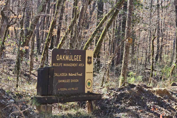
Bishop Road - FS 707
FS-707 / Bishop Road is in the Talladega National Forest. It also forms part of the northern edge of the Oakmulgee Wildlife Management Area (WMA). During hunting season, be aware of and respectful toward hunters who will likely be in the area. Additionally, only road-legal, “plated” vehicles are all...
Learn more about Bishop Road - FS 707
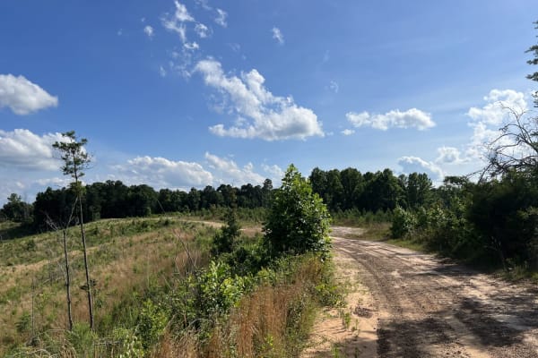
Fork Creek Road
Fork Creek Road or Winston County 440 is a public, mostly unmaintained gravel and dirt road. Surrounded by Timber Company Land, Fork Creek Road offers spectacular views of the surrounding area and some slightly technical obstacles, depending on season and maintenance. Road conditions can increase in...
Learn more about Fork Creek Road
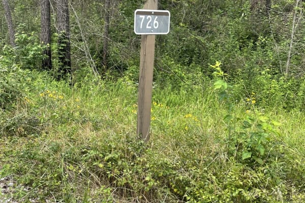
USFS 726 - Phalen Spur
USFS 726, also known as Phalen Spur, is an easy, scenic route designed for beginners, families, and overlanders looking for a relaxed journey through the dense woodlands of Alabama. Serving as a crucial north-south corridor through the heart of the Oakmulgee Wildlife Management Area within the Talla...
Learn more about USFS 726 - Phalen Spur
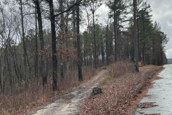
USFS 142 - Moody Bend
USFS 142, "Moody Bend", is an out-and-back trail in Bankhead National Forest. Moody Bend offers wildlife viewing, hunting, hiking, and dispersed camping opportunities. There are two wildlife openings along the route and the entire route is part of the Payne Demonstration Area. There is an outdoor cl...
Learn more about USFS 142 - Moody Bend
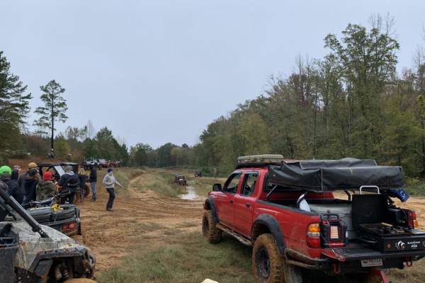
The Gutter
The Gutter is a 1.3-mile off-road loop within the Barnyard Mud Boggers (BMB) Offroad Park near Fulton, Mississippi. Serving as an introduction to the 700-acre park, the trail winds through a dense hardwood forest with mild elevation changes between 290 and 402 feet, connecting with various other tra...
Learn more about The Gutter
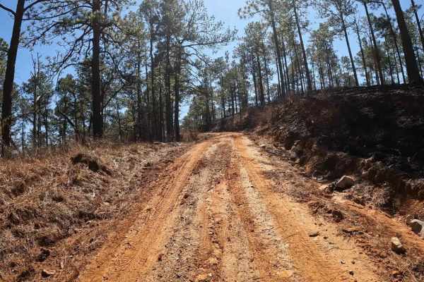
FS 723
While FS 723 is located in the Talladega National Forest, it’s also situated within the Oakmulgee Wildlife Management Area (WMA). During hunting season, be aware of and respectful toward hunters who will likely be in the area. Additionally, only road-legal, “plated” vehicles are allowed in this area...
Learn more about FS 723
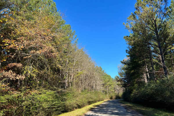
Bylor RD - FS 203
Starting at FS203, this scenic route transitions from pavement to gravel, leading you deep into the heart of the Bankhead National Forest. Along the way, it passes the historic Kinlock Lookout on Bylor Road, a notable landmark in the area. Forest Service Road 203 is a well-maintained two-track trail...
Learn more about Bylor RD - FS 203
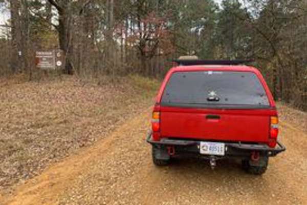
Witch Dance Hill
Witch Dance Hill is a scenic, 4.6-mile gravel drive through the Tombigbee National Forest in Mississippi. The well-maintained, flat gravel surface is rated 1 for technical difficulty, making it fully accessible to standard two-wheel-drive vehicles under normal conditions. Winding eastward from Count...
Learn more about Witch Dance Hill
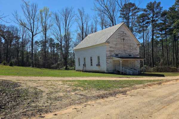
FS 700
FS 700 sits within the Talladega National Forest, with the northern two-thirds of the route passing through the Oakmulgee Wildlife Management Area (WMA). Only street-legal, "plated" vehicles are allowed on this route. The southern entry is paved but transitions to dirt upon entering the Talladega Na...
Learn more about FS 700
Grindstone Road - FS 109
FS 109 is a burned area within the Bankhead National Forest. The open forest features big potholes but also a beautiful, flowy road. Signs of ample conservation efforts are evident in the well-maintained pine stands. Unlike its counterpart, FS109A, this route is much smoother and receives far more r...
Learn more about Grindstone Road - FS 109
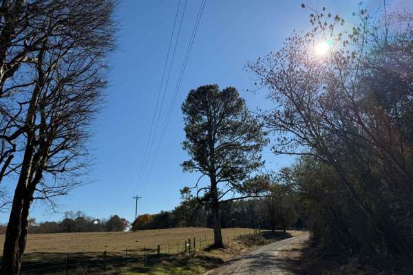
National Forest Road 121
National Forest Road 121 is a long, flowy road with deep washboard sections, including a particularly brutal paved portion. The area offers ample opportunities for hunting and gathering. Due to the road's condition, be prepared for a rough ride. Remember to tread lightly and always pack in and pack ...
Learn more about National Forest Road 121
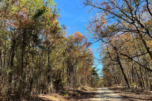
Ridge Road - FS 213
FS213, also known as Ridge Road, branches off FS203 and provides a scenic and functional route through the Bankhead National Forest. This single-lane, two-track gravel road winds through areas of active forest management, with multiple cut units that offer access for hunting, birdwatching, and other...
Learn more about Ridge Road - FS 213
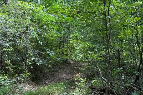
Cell Tower Dead End
This trail is by the cell tower, and is another way that used to fully take you up to the cell tower. This is now a dead-end trail, but it does have a lot of dirt bike trails around it. This trail is all deep in the woods with some tight areas to go around trees. The trail is somewhat overgrown at t...
Learn more about Cell Tower Dead End
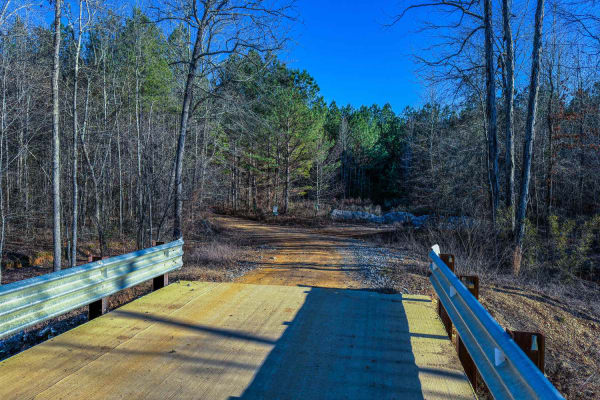
300 Main
Trail 300 Main is a practical and accessible route that connects to many one-way trails in the 300-series system. At the start, there is a bridge and creek where you can stop and explore the area on foot. Its manageable terrain and well-maintained width make it an ideal starting point for exploring ...
Learn more about 300 Main
Beginner ATV trails near Kennedy, Alabama
Explore ATV-friendly trails near you. These trails are accessible for vehicles up to 50 inches wide, perfect for ATVs and smaller off-road machines.
Meadow Creek Road
Meadow Creek Road or Winston County 357 is a maintained public gravel road running North from Highway 278 through Pine Timber Forestlands to Yankee Trace Road just before Highway 13. Meadow Creek Road offers an easy drive with ample opportunity for wildlife viewing as well as great views of the surr...
Learn more about Meadow Creek Road
CR339
County Road 339 is a somewhat maintained public gravel road that offers great views of the surrounding area for those looking to get off the beaten path. Running from Alabama Highway 5 east to Rocky Plains Road, CR339 winds through prime Alabama Forestland, into creek bottoms, and along ridgetops. R...
Learn more about CR339
The Gutter
The Gutter is a 1.3-mile off-road loop within the Barnyard Mud Boggers (BMB) Offroad Park near Fulton, Mississippi. Serving as an introduction to the 700-acre park, the trail winds through a dense hardwood forest with mild elevation changes between 290 and 402 feet, connecting with various other tra...
Learn more about The Gutter
Bylor RD - FS 203
Starting at FS203, this scenic route transitions from pavement to gravel, leading you deep into the heart of the Bankhead National Forest. Along the way, it passes the historic Kinlock Lookout on Bylor Road, a notable landmark in the area. Forest Service Road 203 is a well-maintained two-track trail...
Learn more about Bylor RD - FS 203
Beginner UTV/side-by-side trails near Kennedy, Alabama
Find UTV and side-by-side trails near you. These trails accommodate vehicles up to 60 inches wide, ideal for UTVs, side-by-sides, and wider off-road rigs.
Meadow Creek Road
Meadow Creek Road or Winston County 357 is a maintained public gravel road running North from Highway 278 through Pine Timber Forestlands to Yankee Trace Road just before Highway 13. Meadow Creek Road offers an easy drive with ample opportunity for wildlife viewing as well as great views of the surr...
Learn more about Meadow Creek Road
CR339
County Road 339 is a somewhat maintained public gravel road that offers great views of the surrounding area for those looking to get off the beaten path. Running from Alabama Highway 5 east to Rocky Plains Road, CR339 winds through prime Alabama Forestland, into creek bottoms, and along ridgetops. R...
Learn more about CR339
Bylor RD - FS 203
Starting at FS203, this scenic route transitions from pavement to gravel, leading you deep into the heart of the Bankhead National Forest. Along the way, it passes the historic Kinlock Lookout on Bylor Road, a notable landmark in the area. Forest Service Road 203 is a well-maintained two-track trail...
Learn more about Bylor RD - FS 203
Grindstone Road - FS 109
FS 109 is a burned area within the Bankhead National Forest. The open forest features big potholes but also a beautiful, flowy road. Signs of ample conservation efforts are evident in the well-maintained pine stands. Unlike its counterpart, FS109A, this route is much smoother and receives far more r...
Learn more about Grindstone Road - FS 109
The onX Offroad Difference
onX Offroad combines trail photos, descriptions, difficulty ratings, width restrictions, seasonality, and more in a user-friendly interface. Available on all devices, with offline access and full compatibility with CarPlay and Android Auto. Discover what you're missing today!
Open Trail Map