
Beginner Off-Road Trails
Near Johnston, South Carolina
Explore All Beginner Trails Near Johnston, South Carolina
Beginner Off-Road Trails Near Johnston, South Carolina
Discover the best beginner-friendly off-road trails near you. These easier, lower-rated trails are a great place to start — browse trail maps, check difficulty ratings, and find your next adventure.
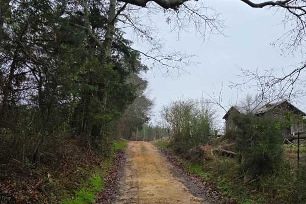
Pond Dam Road
Come on down to Johnston and enjoy this short, relaxing backcountry drive. The route starts with a gravel and sand mix before transitioning into classic red clay. Settle in as you pass through peach field–lined roads that roll into tree-covered forest corridors and abandoned barns that have fallen t...
Learn more about Pond Dam Road
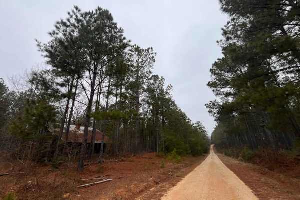
Old Charleston Road
Go back in history as you ride this partial gravel and sandy road. It is well maintained and has some areas that flood during excessive amounts of rain. Along this road, you'll pass a family cemetery that dates back to the 1800-1900's, abandoned farmhouses and sheds. Close by the area was the Ambush...
Learn more about Old Charleston Road
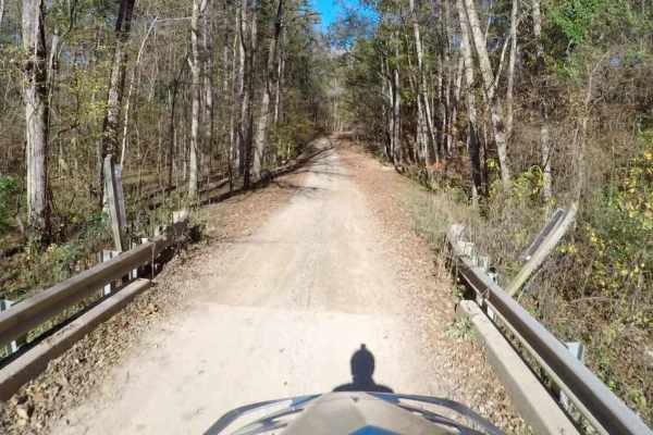
South Carolina Adventure Route Segment 2
Segment 2 of the South Carolina Adventure Route wanders between the towns of Edgefield and Westminster, traversing one of the three sections of Sumter National Forest along the way. The trail through this region is an idyllic slice of South Carolina, a mix of pavement and gently rolling gravel roads...
Learn more about South Carolina Adventure Route Segment 2

Round Up Road
A scenic road winding through the countryside close to the small towns that surround it. This road offers beautiful views of the forest while providing some fun driving experience on the washouts, small rock crops, and clay mud stretches. This road has single-lane bridge crossings with some blind cu...
Learn more about Round Up Road

Richland Creek Road
Enjoy this easy route as you sit back and ride through large farmlands and admire the old forgotten houses and barns. This is an easy road that is maintained and has a mix of sand and gravel covering the roadway. You will pass over some single-lane bridges and see some marshland with a variety of wi...
Learn more about Richland Creek Road
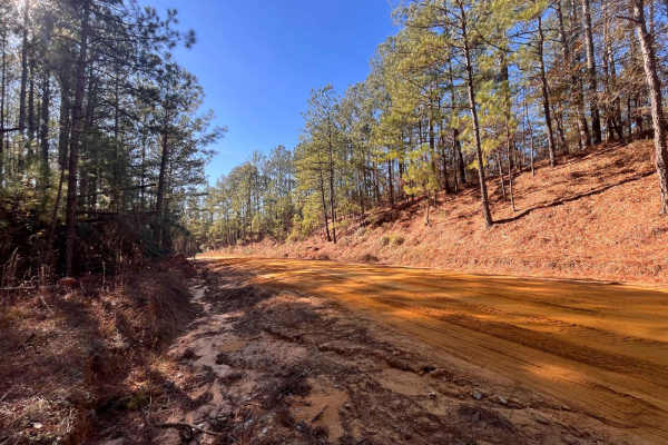
Mason Branch Road
This is a fairly easy road that has some local wildlife scenery to see. The road has areas of some sandy soft spots, teeth-shaking washboards, and some areas that can hold water for several days after a good rain shower. There are several places where you can get stunning views of a small lake, a fe...
Learn more about Mason Branch Road
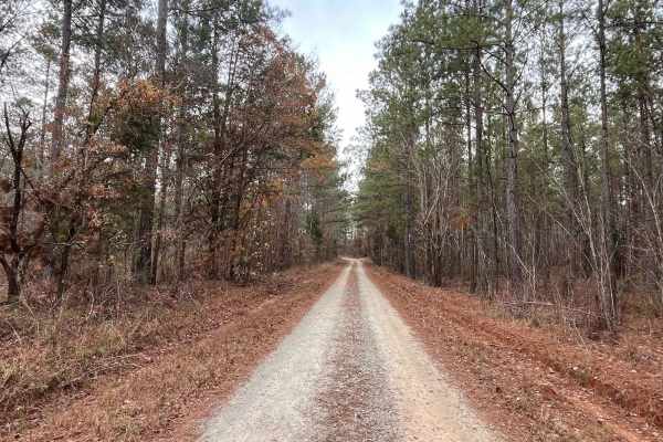
Log Creek Road
As you enter the road, you will see remains of an old railroad bed that used to be the backbone of a freight train that ran nationwide. The road consists of different terrain features that has sand, clay, mud, and gravel. Sit back and enjoy the single-lane bridge crossings along with the winding cur...
Learn more about Log Creek Road
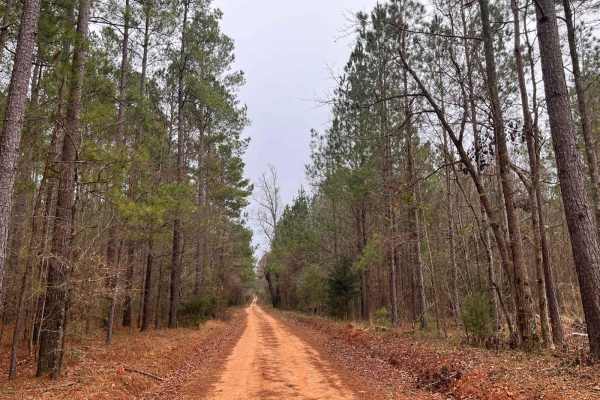
Rugged Hill Drive
The name should not cause you any worry about this road. Although mild with its sandy and gravel coating, it does contain a few rough potholes and some washboards that will motivate your suspension. You will pass by the C.E Berry Jr. Forestry Center and admire the dam structure next to it that once ...
Learn more about Rugged Hill Drive
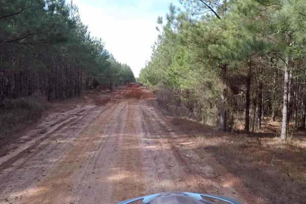
Yarborough - SCAR Alternate
This short segment of the SCAR drops south of Edgefield. Its sand and clay roads over rolling hills are scenic but can become deeply rutted and muddy/slick when wet. These conditions can linger in this region too, even when the weather has been relatively dry for extended periods. About the SCAR: th...
Learn more about Yarborough - SCAR Alternate

SCAR Connector-Loop
This Connector Loop bisects the primary SCAR Loop, passing near the twin towns of Batesburg-Leesville, over the narrow end of Lake Murray, and through Newberry. It contains a mix of paved and unpaved roads. Off-pavement sections south of Batesburg-Leesville are sandy and can be loose when dry. North...
Learn more about SCAR Connector-Loop

Horn Creek (638) via Prescott Road
This route follows Prescott Road, taking a left onto Horn Creek Road (638). Throughout this road, travelers will encounter well-maintained roads with minimal to no obstacles. At the end of Horn Creek Road, there is a path leading down to Dry Creek that can be explored by more adventurous off-roaders...
Learn more about Horn Creek (638) via Prescott Road
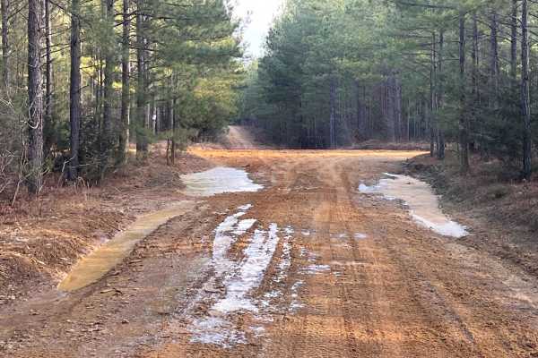
Loop De Loop Road
Loop De Loop Road is exactly how it is described. It is a compacted sand, gravel, and red clay mix road that throws some adventure your way. It has several hills that can be challenging either way you enter. The red clay gives you a chance to tighten your grip on the wheel as you navigate this route...
Learn more about Loop De Loop Road
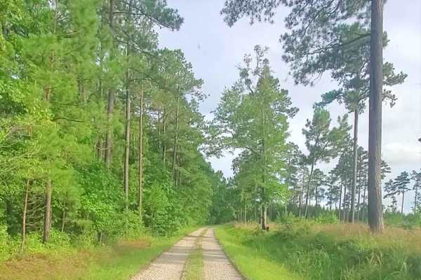
Lick Fork Road
Lick Ford Road is a maintained road that leads to Forestry Road 681A. This road is well maintained with minimal obstacles. Some rutty portions do exist, with some holes that can create mud. The end of the trails dead ends in a wooded location. There is a less traveled trail that pushes further that ...
Learn more about Lick Fork Road

Wildplum Road
This is a mild challenging road that throws you off at first due to its name. This road will take you through some rough terrain that will make you hope you packed some recovery gear. The road is mostly red clay, compacted sand, and light gravel mix. It has several hills that are rutted and contain ...
Learn more about Wildplum Road
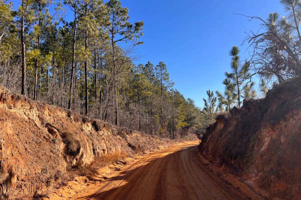
Moore Road
Ride out and enjoy the thick hardwood forest and abandoned farmhouses and barns of the past. This route is mostly loamy sand and a red clay mix. It has some graded hills and sharp curves that roll down the hills that twist and bend through the forest and farmlands. As you roll along, you will pass t...
Learn more about Moore Road
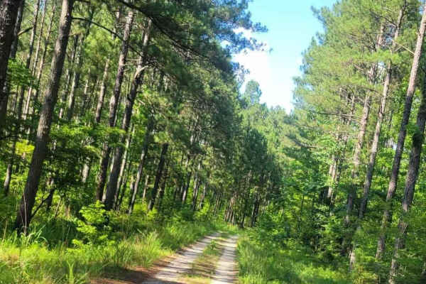
Pearl Branch Road (611)
Pearl Branch Road (611) is a somewhat well-maintained service road within Sumter National Forest. This road offers a few areas for the adventurous off-roader to explore while maintaining ease of access along the main route. A left turn along this road (611a) provides access to Turkey Creek if you wa...
Learn more about Pearl Branch Road (611)
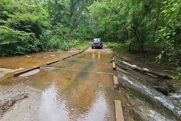
Dry Branch (673) and Garret B (635B)
Dry Branch (673) and Garret B (635B) are well-maintained service roads within the Sumter National Forest. Both roads offer a scenic driving experience for any vehicle under most conditions. Throughout the route, muddy conditions can be expected when rainfall has occurred. The water crossing is not d...
Learn more about Dry Branch (673) and Garret B (635B)
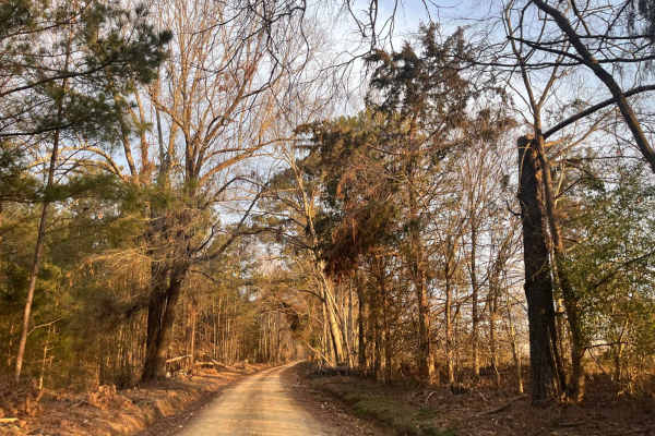
Ephrian Road
Come and check out some of the Sumter National Forest and what it has to offer. The road is a sand, gravel, and red clay mix. As you drive down through the southern pine forests and single-lane roads, you will come across a variety of wildlife as it darts in and out of the roadway. You will pass ove...
Learn more about Ephrian Road
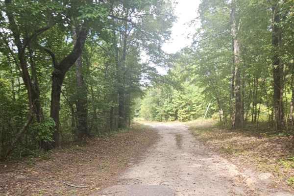
Mayson Crossroads Bypass - FS 585/585C
The Mayson Crossroads Bypass is a commonly traveled road through Sumter National Forest between U.S. Highway 378 and Mount Vernon Road. U.S. Forestry service roads 585 and 585C are largely well-maintained where minimal obstacles should be expected. It is common for wildlife to be encountered while t...
Learn more about Mayson Crossroads Bypass - FS 585/585C
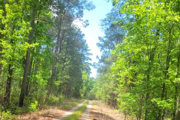
Wine Circle - FSR 620
This route is a well-maintained forestry service road in the Sumter National Forest. While the road is an out-and-back, it provides a decent road for off-road exploring, with a few trails off the route for additional exploration for the adventurous type. Four-wheel drive is not required under usual ...
Learn more about Wine Circle - FSR 620
Beginner ATV trails near Johnston, South Carolina
Explore ATV-friendly trails near you. These trails are accessible for vehicles up to 50 inches wide, perfect for ATVs and smaller off-road machines.
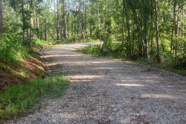
Woodlawn D
This beautiful, short trail offers scenic views along its path. It follows a well-maintained forest road, wide enough to allow two full-sized 4x4 vehicles to pass comfortably. Although it doesn't provide an off-road challenge, the trail gives visitors a captivating glimpse deep into the Sumter Natio...
Learn more about Woodlawn D
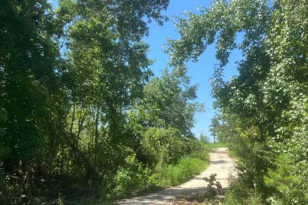
Mason Wildlife Trail South
The trail begins as gravel but quickly transitions to a dirt path with grass in the center. Located in a Wildlife Management Area used for hunting, it’s best to visit on Sundays when hunting is prohibited. Expect frequent small mud holes, as the trail can become very muddy. Taking the first right fo...
Learn more about Mason Wildlife Trail South
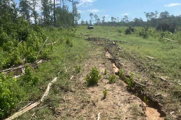
Mason Wildlife Trail North
Most of this trail is a single lane with several muddy patches and occasional ruts that require careful navigation. A four-wheel-drive vehicle is essential unless it hasn’t rained for weeks. Expect multiple mud holes, the deepest around eight inches, with some areas prone to sticky, deep mud—exercis...
Learn more about Mason Wildlife Trail North
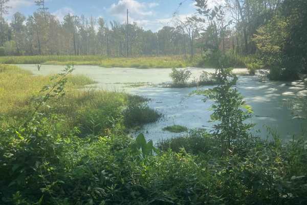
Fury's Ferry Boat Ramp
This short trail takes you down to the South Carolina Side of the Savannah River. You will pass some very swampy areas on both sides of the road. If you stop looking at the wildlife, make sure you watch for Alligators. This is a great trail to hit if you are out for a day of exploring and want a ni...
Learn more about Fury's Ferry Boat Ramp
Beginner UTV/side-by-side trails near Johnston, South Carolina
Find UTV and side-by-side trails near you. These trails accommodate vehicles up to 60 inches wide, ideal for UTVs, side-by-sides, and wider off-road rigs.
Mason Wildlife Trail South
The trail begins as gravel but quickly transitions to a dirt path with grass in the center. Located in a Wildlife Management Area used for hunting, it’s best to visit on Sundays when hunting is prohibited. Expect frequent small mud holes, as the trail can become very muddy. Taking the first right fo...
Learn more about Mason Wildlife Trail South
Mason Wildlife Trail North
Most of this trail is a single lane with several muddy patches and occasional ruts that require careful navigation. A four-wheel-drive vehicle is essential unless it hasn’t rained for weeks. Expect multiple mud holes, the deepest around eight inches, with some areas prone to sticky, deep mud—exercis...
Learn more about Mason Wildlife Trail North
Fury's Ferry Boat Ramp
This short trail takes you down to the South Carolina Side of the Savannah River. You will pass some very swampy areas on both sides of the road. If you stop looking at the wildlife, make sure you watch for Alligators. This is a great trail to hit if you are out for a day of exploring and want a ni...
Learn more about Fury's Ferry Boat Ramp
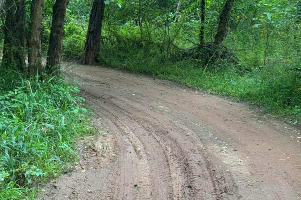
Campsite Road
Provides access to Campsites 2 through 6. This area is riddled with short twisties that can get you turned around easily. Keep track of the map so you don't get lost getting back to camp. Keep in mind that a few of the mudholes can be very deep- stay out, or you might need a rescue.
Learn more about Campsite Road
The onX Offroad Difference
onX Offroad combines trail photos, descriptions, difficulty ratings, width restrictions, seasonality, and more in a user-friendly interface. Available on all devices, with offline access and full compatibility with CarPlay and Android Auto. Discover what you're missing today!
Open Trail Map