South Carolina Adventure Route Segment 2

Total Miles 197.9
Technical Rating
1 Easy
Best Time Summer, Fall, Spring, Winter
Trail Type Full-Width Road
Accessible By
Open Trail Map

Trail Overview

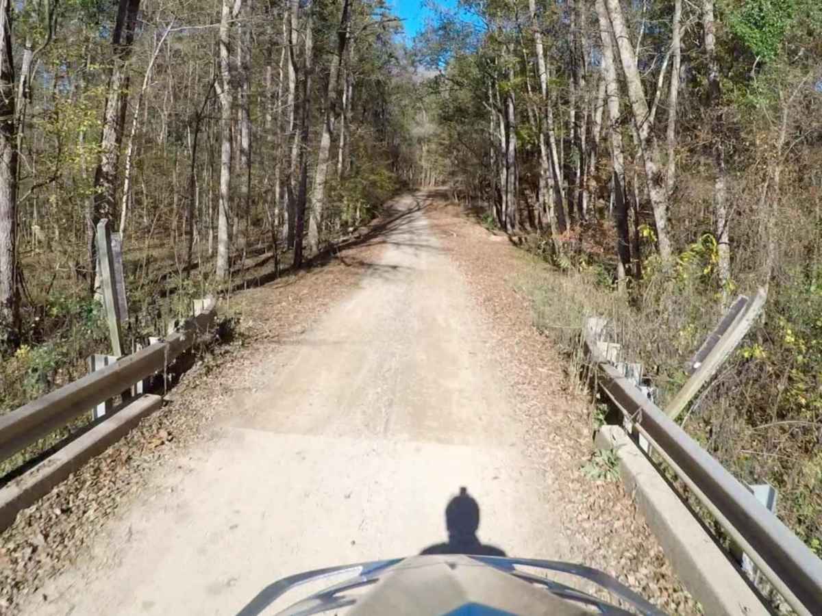
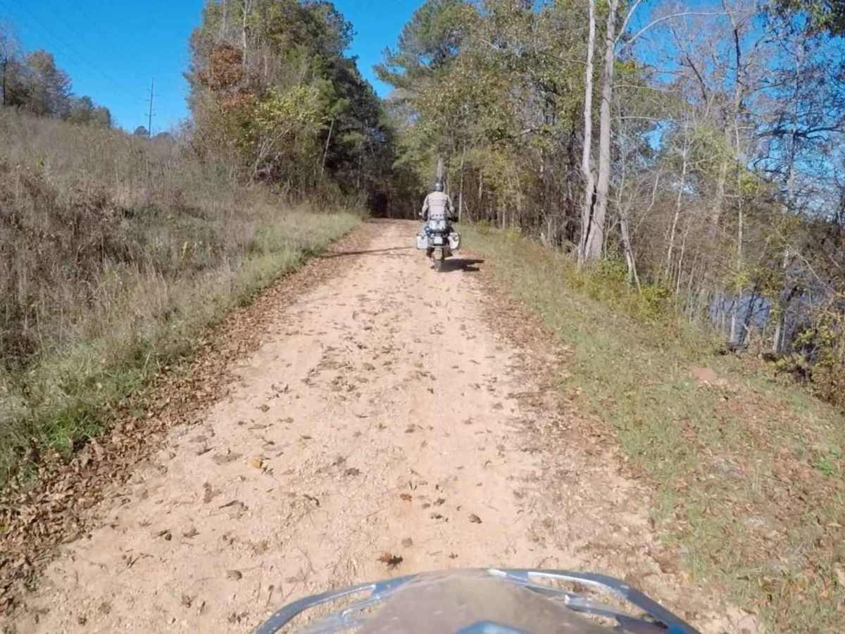
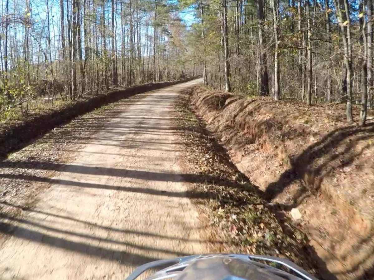
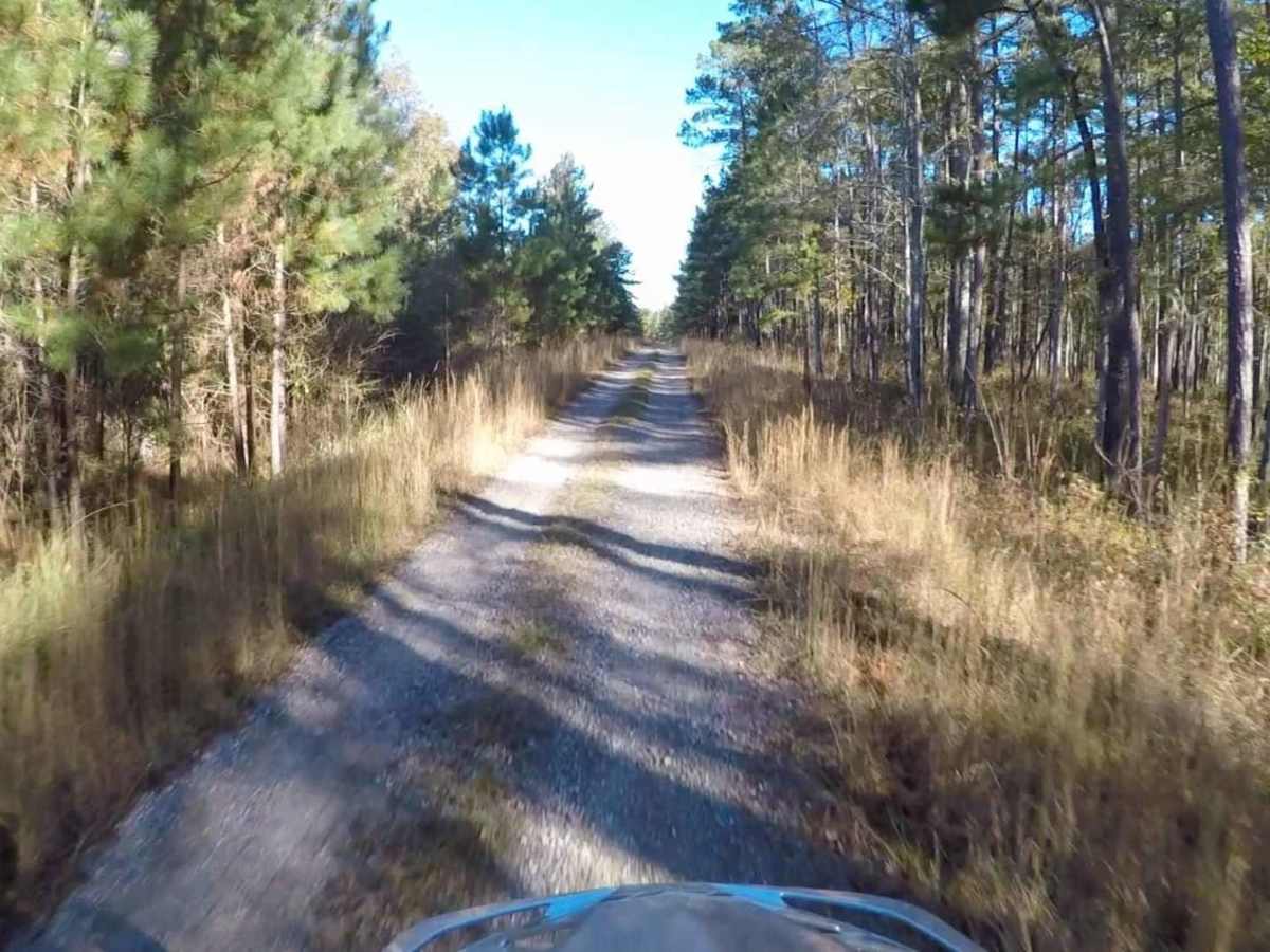
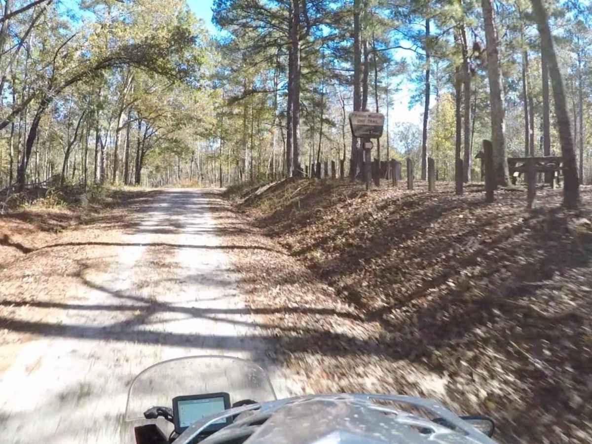
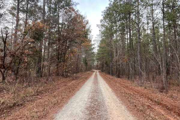
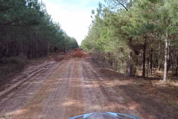
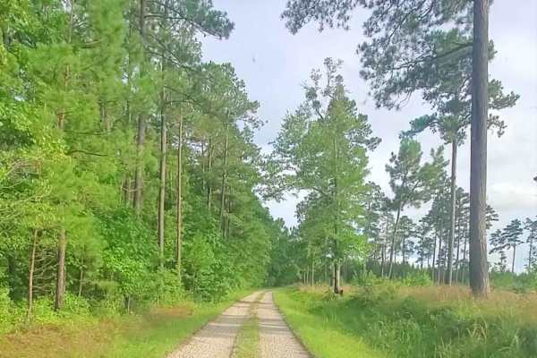
Segment 2 of the South Carolina Adventure Route wanders between the towns of Edgefield and Westminster, traversing one of the three sections of Sumter National Forest along the way. The trail through this region is an idyllic slice of South Carolina, a mix of pavement and gently rolling gravel roads lined with towering pines. On the edge of these peaceful woods you will run through the historic town of Abbeville. Closer to Westminster and near the shores of Lake Hartwell, much of this section includes rolling farmland. About the SCAR: The South Carolina Adventure Route loops through approximately 1,000 miles of rural South Carolina. Along this route, you'll enjoy the Blue Ridge Mountains, the Atlantic Ocean, diverse forests, cotton fields, state parks, historical sites, and quaint towns. The SCAR also connects to the Smokey Mountains 500, the Georgia Traverse, and the Trans-America Trail (TAT), providing riders on those trails with a scenic route to the Atlantic coast at Edisto Beach. The roads along the SCAR are a mix of pavement and dirt, 60% and 40% respectively, with the surface alternating between gravel, dirt, clay, and sand. The route is not exceptionally technical, but dry conditions can leave the sandy roads loose, while wet conditions can leave the mud and clay roads slick and rutted. Travelers should expect to encounter deep sand and sizable mud holes in the worst conditions.

Photos of South Carolina Adventure Route Segment 2

Difficulty

This trail is primarily dirt and gravel roads.

Technical Rating

1

Status Reports

Add Status Report
Ethan Hughes
Oct 12, 2025
Open
Most of the route is open, however some parts are closed with no detour so there was some backtracking.
Bob Clark
Sep 19, 2025
Open
Same washout as back in june
Daryl Hall
Jun 11, 2025
Open
washed out and large tree down. will be some time before its open again
Kenneth Lee
May 26, 2025
Open
Road washed completely out. No way across for 4x4.
Jason Goldman
Apr 26, 2025
Open
Evidence of recent cleanup along route. https://youtu.be/T4A3qmjR7-Q?si=zWmp1kKBFFmQmsz8
Roberto Dominguez
Mar 30, 2025
Open
Steve Jankowski
Dec 28, 2024
Open
Multiple downed trees blocking White Creek Rd.
Steve Jankowski
Dec 14, 2024
Open
Bridge over Cuffytown Creek is closed.
Justin Matthew
Nov 25, 2024
Open
Segment 2 is blocked south of HWY 72 near Abbeville. Multiple downed trees and a washed out water crossing with a depth of 4-5 feet make it impassable.
Cole Davidson
Nov 07, 2024
Open
Closed at Clifftown Rd & Iron Bridge Rd turnoff
Douglas Repass
Mar 09, 2024
Open
Trail washed out just past cemetery. Can back track trail and pick up the SCAR in Calhoun Falls.

South Carolina Adventure Route Segment 2 Trail can be accessed by the following ride types:

  • High Clearance
  • Full Width

South Carolina Adventure Route Segment 2 Map

The onX Offroad Difference

onX Offroad combines trail photos, descriptions, difficulty ratings, width restrictions, seasonality, and more in a user-friendly interface. Available on all devices, with offline access and full compatibility with CarPlay and Android Auto. Discover what you're missing today!

Open Trail Map