
Beginner Off-Road Trails
Near Hot Springs Landing, New Mexico
Explore All Beginner Trails Near Hot Springs Landing, New Mexico
Beginner Off-Road Trails Near Hot Springs Landing, New Mexico
Discover the best beginner-friendly off-road trails near you. These easier, lower-rated trails are a great place to start — browse trail maps, check difficulty ratings, and find your next adventure.
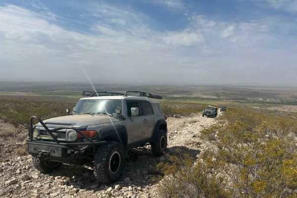
Rio Grande Trail
This trail picks up right off of the Paloma Gap trail and veers off and follows the river. The overall trail is very scenic but exercise caution. When rain is present the levels of the washouts and the river rise rapidly so make sure to check the weather prior to taking the trail. The trail overall ...
Learn more about Rio Grande Trail
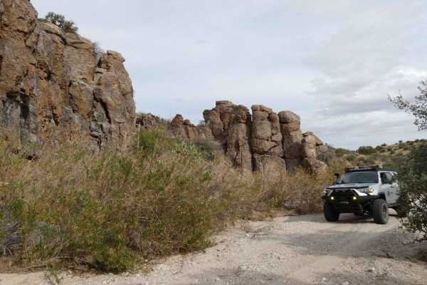
Penasco Springs
Penasco Springs is a wonderful desert experience that takes you down into the canyons at the base of the mountains and through some fun terrain that most 4x4 vehicles will handle. Starting out, the road is overall well maintained and gradually becomes more rocky before cutting through a dry river be...
Learn more about Penasco Springs
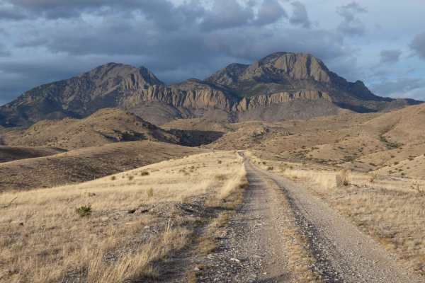
Burma Road-Garcia Falls
Burma Road-Garcia Falls begins on a decently maintained dirt and rock road that is wide enough for two vehicles for the first several miles and will be easily traveled with most high-clearance AWD and 4x4 vehicles. There are a few low-lying washes throughout the trail that will have the potential to...
Learn more about Burma Road-Garcia Falls
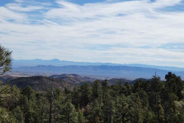
Springtime
Springtime is one of the longer forest trails in the area and provides diverse exploration, areas for dispersed camping, designated campsites, and hiking trails. Springtime connects from Highway 1 at the east and runs through the base of Vicks Peak southward where it connects with FSR-139/Red Rock. ...
Learn more about Springtime
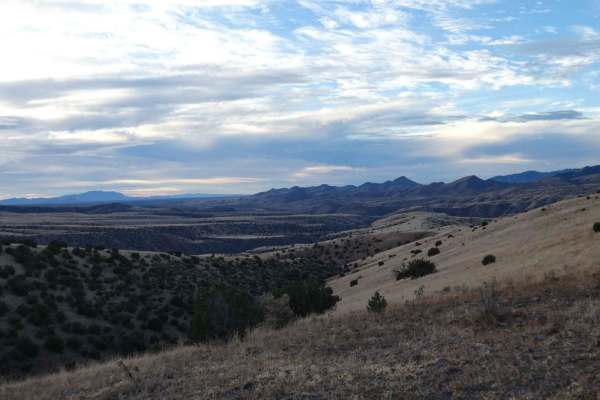
Holdup Spur
Holdup Spur is a short end-to-end trail that is intersected at its midway point by FSR-377/Burma Road-Garcia Falls and gives anyone exploring more ground to cover, as well as additional dispersed camping. The surface is primarily a combination of dirt and rocks but is tame enough for most AWD vehicl...
Learn more about Holdup Spur
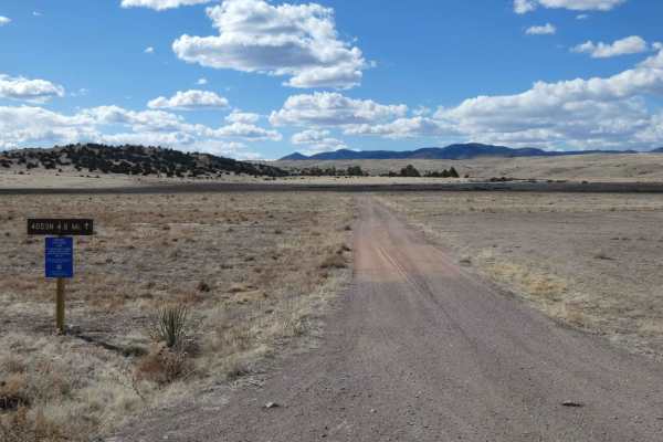
Seven HL Ridge 4053N
Seven HL Ridge is the furthest northeast trail that takes you just inside the foothills of the Black Range Mountains in the Gila National Forest. The entry point of this trail is clearly indicated and appears to have been moved due to heavy erosion in the area. The surface is comprised primarily of ...
Learn more about Seven HL Ridge 4053N
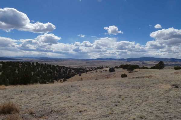
Antelope Tank
Antelope Tank is an extremely well-maintained road and will be a pleasant exploring experience for most high-clearance 2WD and AWD vehicles. While some sections of rocks interrupt the dirt surface, there are no large obstacles and only a couple of small low-grade climbs. Views are wide open for a ma...
Learn more about Antelope Tank
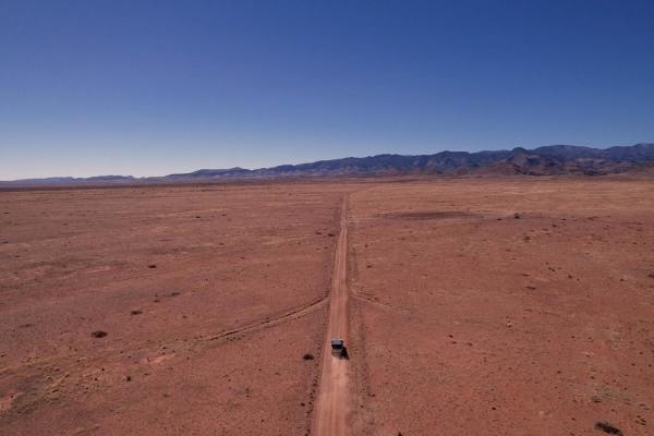
San Juan's Skeleton
San Juan's Skeleton, also known as forest road 332 and 332A is a 12 mile trail (round trip) that takes you up the the San Juan Peak. This trail is an off-shoot of The Old Spanish Trail and offers a great camping spot at the top. The trail can be done in 2WD but clearance is needed towards the top. M...
Learn more about San Juan's Skeleton
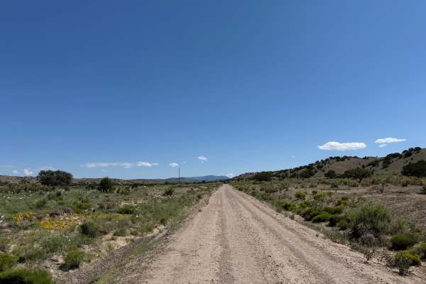
West Red Canyon
Easily accessed from highway 52, this simple trail leads into the Cibola National Forest ending with a view of Mt. Welty. This trail passes private property, please be respectful. The end of this trail offers access to other routes to continue your adventure. Sloping canyon walls, grazing cattle and...
Learn more about West Red Canyon
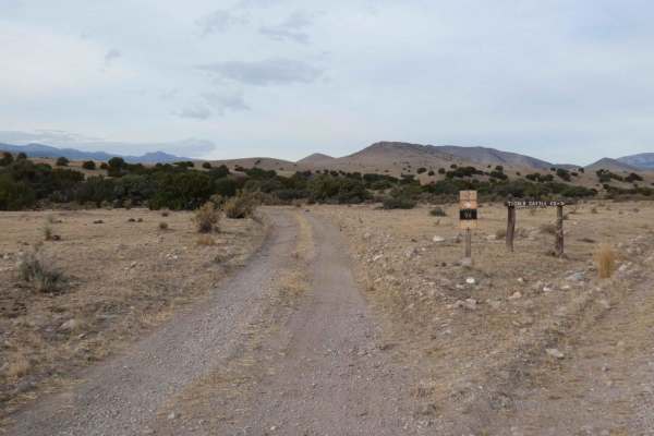
Old Spanish Trail
The Old Spanish Trail is one of the longer tracks in the area and features amazing views of the mountains to the west, grasslands at the north, and a fun desert feed before getting closer to the mountains at the southern end of the trail. The surface changes several times from dirt to rocks and is i...
Learn more about Old Spanish Trail
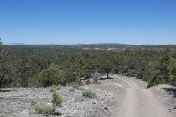
Frank's Ranch Road
This narrow two-track is an out-and-back that dead-ends at private property, more specifically, Frank's Ranch. The surface is a combination of rocks and dirt, with some rocks being around 8 inches in size, but no large obstacles. However, there are several steep grades along the trail, with some bei...
Learn more about Frank's Ranch Road
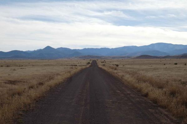
Wildcat Run
Wildcat Run is a combination of FSR-378 and FSR-378A that runs deeper into the foothills of the mountains to the west as it passes by Wildcat Peak to the north. The track begins as a well-maintained road that is wide enough for 2 vehicles and narrows to single vehicle wide with room to pass as it pr...
Learn more about Wildcat Run
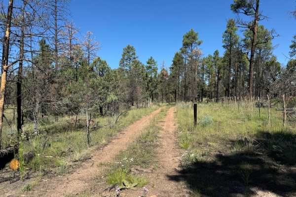
4073W
A scenic but straightforward out and back leads to some dispersed camping options in the Chloride Canyon area. Not a challenging trail by any means, the trail crosses Chloride Canyon from Silver Monument and follows a fence leading into some open areas and rock formations. If you explore the Chlorid...
Learn more about 4073W
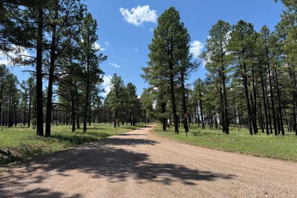
Silver Monument
This easy, well-maintained trail begins off of Highway 59 and connects to the Chloride Canyon trail. This trail appeared to see a fair amount of traffic. There are no technical sections on this trail, but it does connect to other trails in the area that offer some degree of difficulty. Dispersed cam...
Learn more about Silver Monument
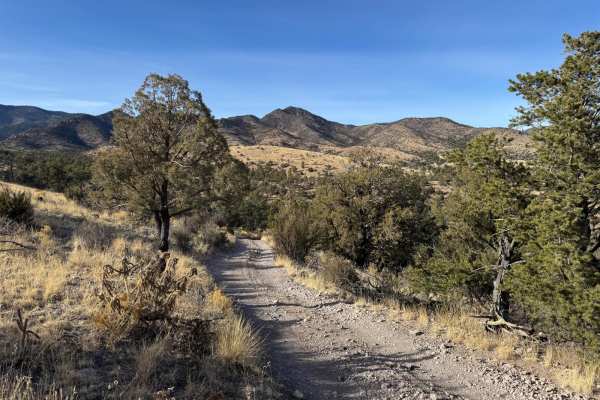
1026D
1026D is a fun, simple trail that connects back to FR330 via FR1026, making a fun loop. 1026D is simple to navigate and does not have any real obstacles. There is potential for some off-camber sections of the trail, but it offers beautiful views of the San Mateo and Magdalena ranges.
Learn more about 1026D
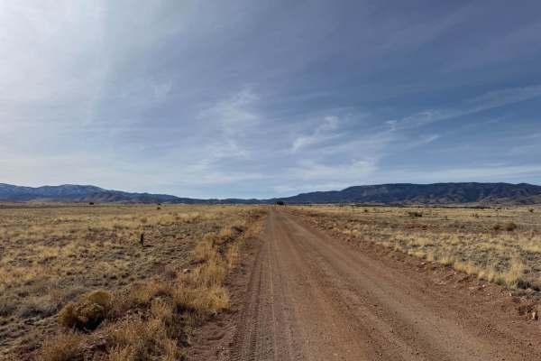
Rosedale Road - FR330
This section of Rosedale road or FR330, is a simple 4-mile road connecting Highway 107 with the Cibola National Forest. The road is well maintained, plenty wide for a single vehicle with opportunity to pass along the way. Rosedale road continues on past the intersection at 1026 and is a great day tr...
Learn more about Rosedale Road - FR330
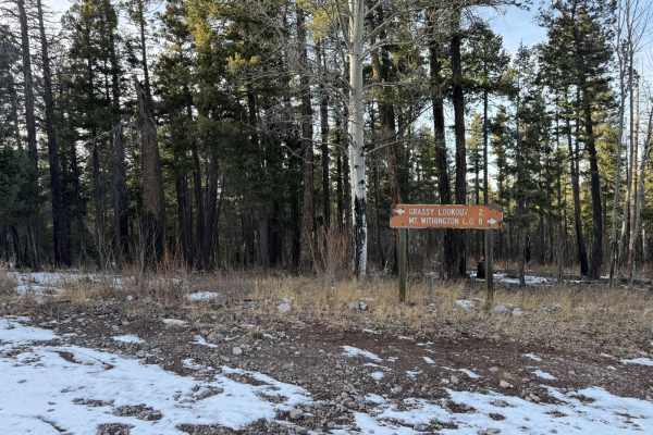
Grassy Lookout - FR138A
A short and unassuming trail that leads to the still actively used, Grassy Lookout. Grassy Lookout offers incredible near 360-degree views of the surrounding ranges and valleys. Deer and elk are common and often seen in the area. Due to the nature of a fire lookout, due to exposure risks and lack of...
Learn more about Grassy Lookout - FR138A
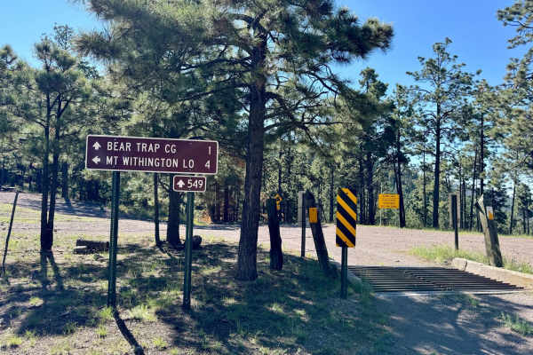
Old State Highway 52 - FR 549
Forest Road 549, also known as "Old State Highway 52" makes for a fun day drive with plenty to see along the way. As the name implies, before the current highway 52 was built, this was the north/south route through the San Mateo range in the Cibola National Forest and connecting Magdalena to places ...
Learn more about Old State Highway 52 - FR 549
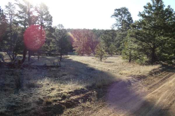
House Mountain Road
House Mountain Road is a provide-all trail that begins on a rutted dirt surface, just over single vehicle width, and narrows as it continues to its abundant features. Lined with trees for the majority of the trail, visitors will get to traverse several water crossings and encounter rocks and obstacl...
Learn more about House Mountain Road
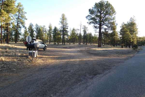
Adobe Ranch Road
Adobe Ranch Road is the camper's dream. Although the surface does have some significant rutting, most high-clearance 2WD vehicles will be able to complete the trail in its entirety as there are no other major obstacles along the path. Dispersed camping is permitted along the entire trail and there a...
Learn more about Adobe Ranch Road
Beginner ATV trails near Hot Springs Landing, New Mexico
Explore ATV-friendly trails near you. These trails are accessible for vehicles up to 50 inches wide, perfect for ATVs and smaller off-road machines.
Rio Grande Trail
This trail picks up right off of the Paloma Gap trail and veers off and follows the river. The overall trail is very scenic but exercise caution. When rain is present the levels of the washouts and the river rise rapidly so make sure to check the weather prior to taking the trail. The trail overall ...
Learn more about Rio Grande Trail
Penasco Springs
Penasco Springs is a wonderful desert experience that takes you down into the canyons at the base of the mountains and through some fun terrain that most 4x4 vehicles will handle. Starting out, the road is overall well maintained and gradually becomes more rocky before cutting through a dry river be...
Learn more about Penasco Springs
Burma Road-Garcia Falls
Burma Road-Garcia Falls begins on a decently maintained dirt and rock road that is wide enough for two vehicles for the first several miles and will be easily traveled with most high-clearance AWD and 4x4 vehicles. There are a few low-lying washes throughout the trail that will have the potential to...
Learn more about Burma Road-Garcia Falls
Springtime
Springtime is one of the longer forest trails in the area and provides diverse exploration, areas for dispersed camping, designated campsites, and hiking trails. Springtime connects from Highway 1 at the east and runs through the base of Vicks Peak southward where it connects with FSR-139/Red Rock. ...
Learn more about Springtime
Beginner UTV/side-by-side trails near Hot Springs Landing, New Mexico
Find UTV and side-by-side trails near you. These trails accommodate vehicles up to 60 inches wide, ideal for UTVs, side-by-sides, and wider off-road rigs.
Rio Grande Trail
This trail picks up right off of the Paloma Gap trail and veers off and follows the river. The overall trail is very scenic but exercise caution. When rain is present the levels of the washouts and the river rise rapidly so make sure to check the weather prior to taking the trail. The trail overall ...
Learn more about Rio Grande Trail
Penasco Springs
Penasco Springs is a wonderful desert experience that takes you down into the canyons at the base of the mountains and through some fun terrain that most 4x4 vehicles will handle. Starting out, the road is overall well maintained and gradually becomes more rocky before cutting through a dry river be...
Learn more about Penasco Springs
Burma Road-Garcia Falls
Burma Road-Garcia Falls begins on a decently maintained dirt and rock road that is wide enough for two vehicles for the first several miles and will be easily traveled with most high-clearance AWD and 4x4 vehicles. There are a few low-lying washes throughout the trail that will have the potential to...
Learn more about Burma Road-Garcia Falls
Springtime
Springtime is one of the longer forest trails in the area and provides diverse exploration, areas for dispersed camping, designated campsites, and hiking trails. Springtime connects from Highway 1 at the east and runs through the base of Vicks Peak southward where it connects with FSR-139/Red Rock. ...
Learn more about Springtime
The onX Offroad Difference
onX Offroad combines trail photos, descriptions, difficulty ratings, width restrictions, seasonality, and more in a user-friendly interface. Available on all devices, with offline access and full compatibility with CarPlay and Android Auto. Discover what you're missing today!
Open Trail Map