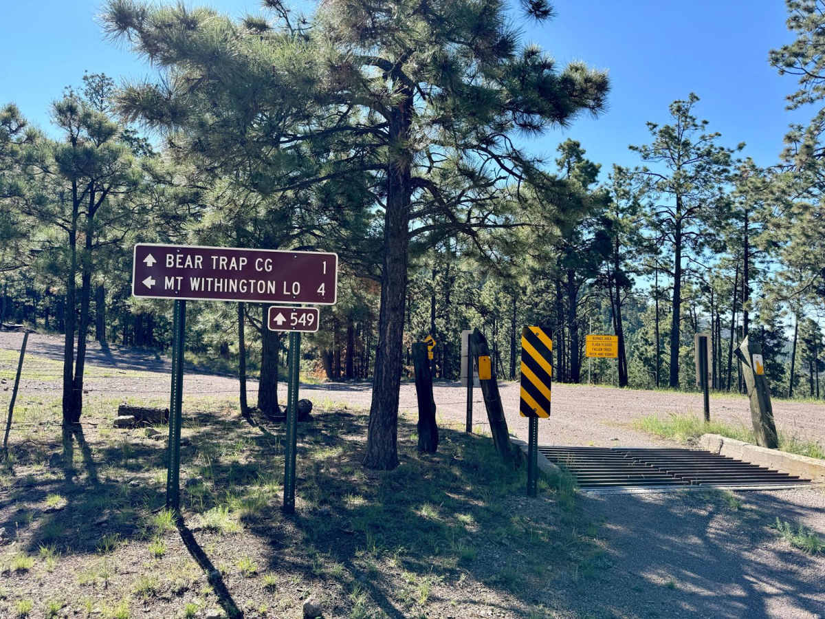
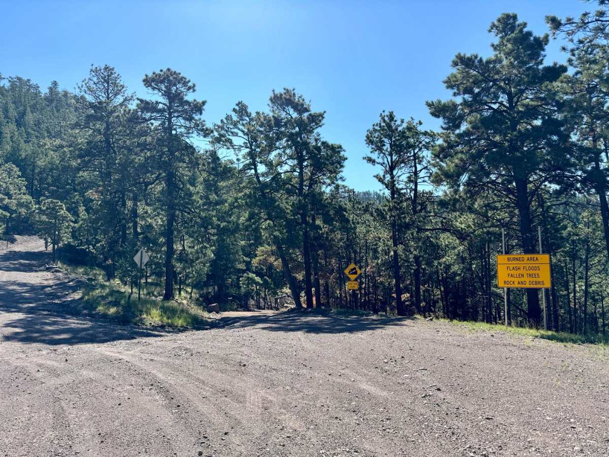
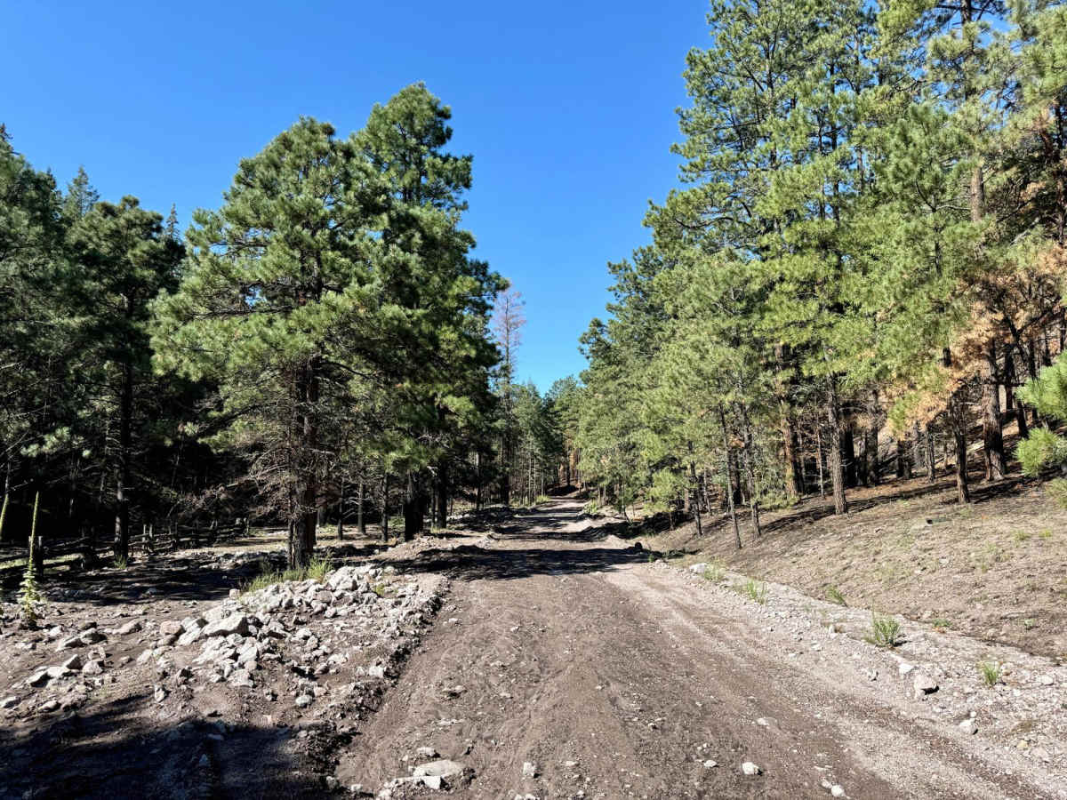
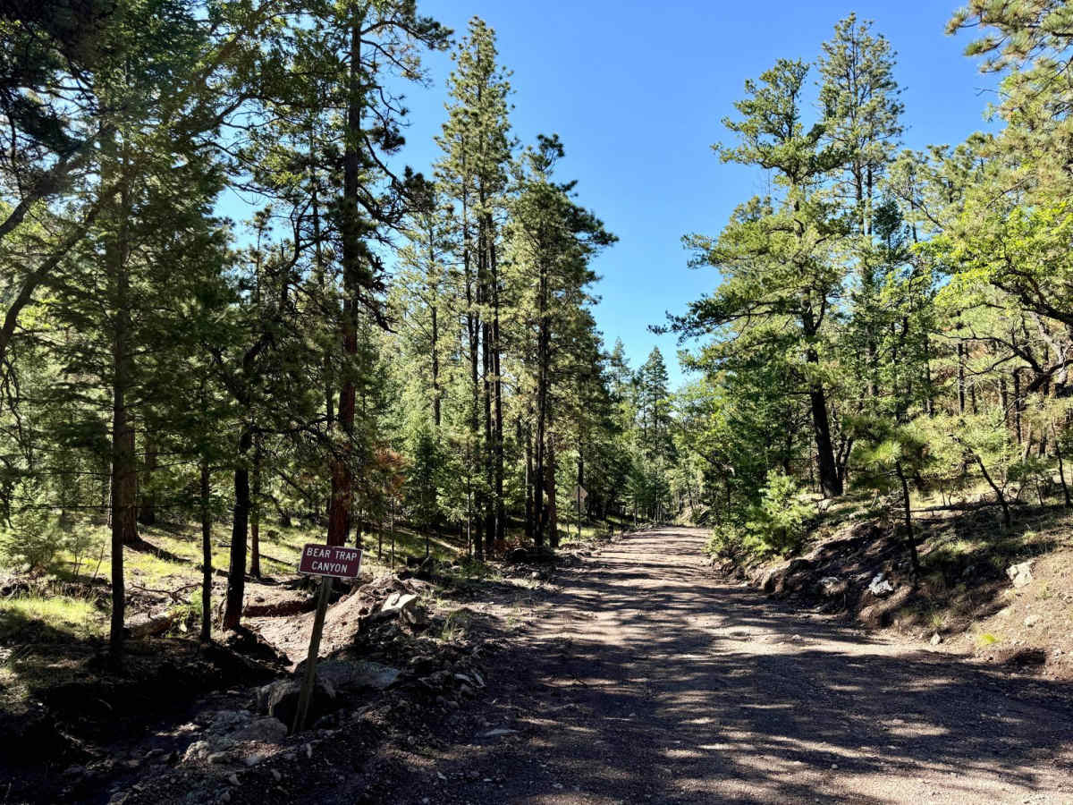
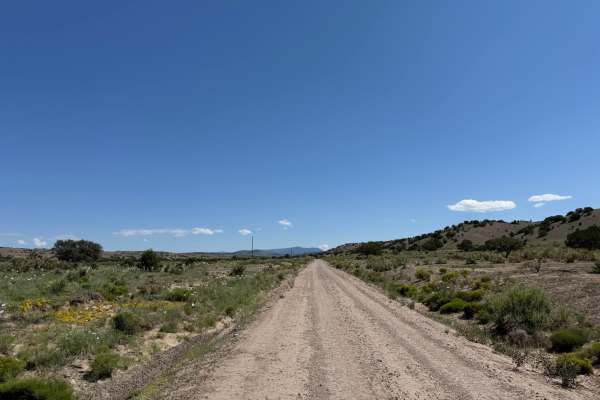
Trail Overview
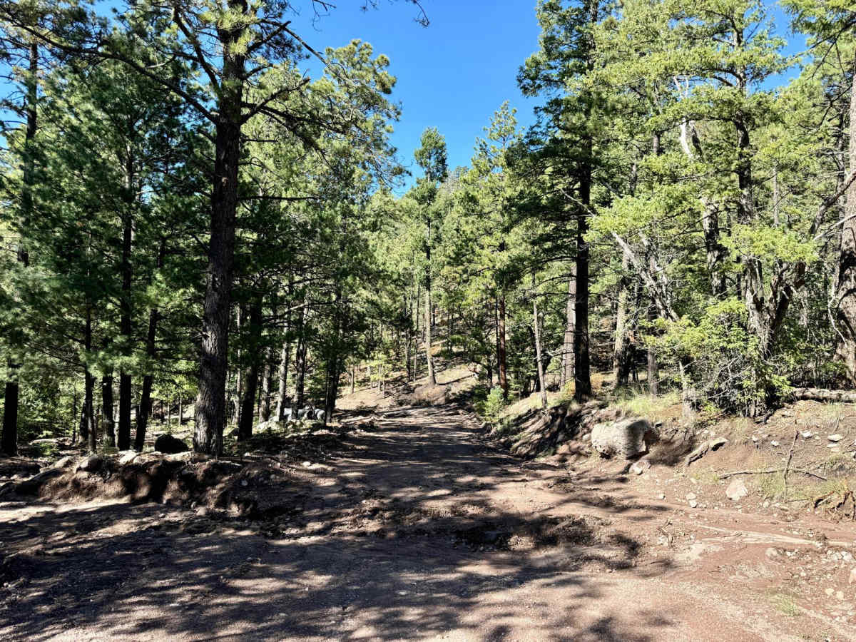
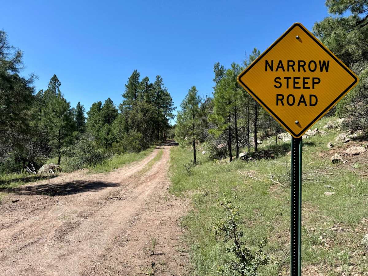
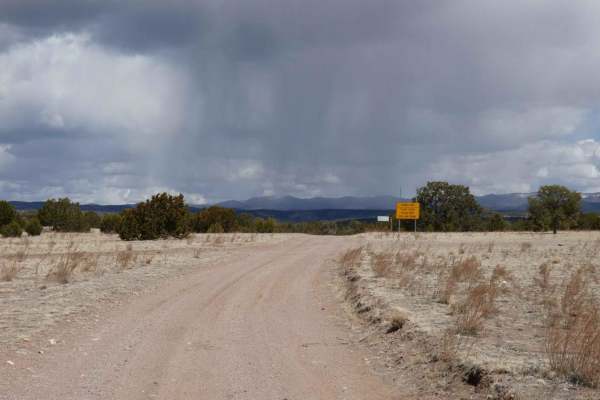
Forest Road 549, also known as "Old State Highway 52" makes for a fun day drive with plenty to see along the way. As the name implies, before the current highway 52 was built, this was the north/south route through the San Mateo range in the Cibola National Forest and connecting Magdalena to places like Winston and Poverty Creek. This trail has recently been reopened after fire damage from the Bear Trap and Black fires of 2022 and has not been maintained for a couple of years. The trail leads passes the Bear Trap and Hughes Campgrounds and connects to other trails in the area. In the past, the trail has been very well maintained. Currently, the trail is passable by most any 4x4, however, the monsoon season this year has left mud, ruts, and erosion on what is at times, a narrow trail. The shade provided by old growth and access to improved campsites make this a trip worth adding to any visit to the area.
Difficulty
The current lack of maintenance after being closed for two years, has left this road in a bit worse shape than when it was last open. Sections of the trail are close to being washed out, snow and winter conditions may add to the difficulty.
History
The name "Bear Trap" in the campground comes from when the area was frequently used to trap bears.