
Beginner Off-Road Trails
Near Hillsboro, Oregon
Explore All Beginner Trails Near Hillsboro, Oregon
Beginner Off-Road Trails Near Hillsboro, Oregon
Discover the best beginner-friendly off-road trails near you. These easier, lower-rated trails are a great place to start — browse trail maps, check difficulty ratings, and find your next adventure.

Northwest Bacona Road
As you travel this road, you will pass through multiple private timberlands and BLM and you will be met with beautiful views, wildlife (if lucky), bicyclists, and vehicles. This crosses paths with the Banks-Vernonia trail as well. Be on the lookout for log trucks and keep an eye out for pull-outs--t...
Learn more about Northwest Bacona Road
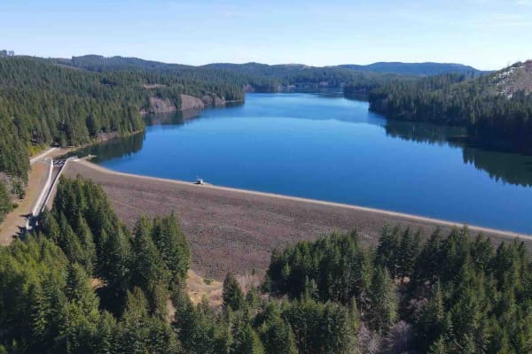
Barney Reservoir
Start at the Yamhill Reservoir on Northwest Turner Creek Road, about 8 miles northwest of Yamhill, Oregon. The Yamhill Reservoir is a small body of water on the south side of the road, and just past the Yamhill Reservoir is the water treatment plant. After the water treatment plant is a gate. As wit...
Learn more about Barney Reservoir
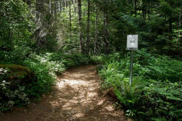
Military #43
Military is a 2-mile graded and maintained trail featuring sections lined with cement pavers and a wide two-track surface through dense forest. Although mostly wide, there are occasional narrow tree pinches where trees closely line the trail. The route is fast and flowy with gentle curves, a few lar...
Learn more about Military #43
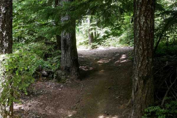
Clydes #7
Clydes is a 2-mile trail featuring an easy two-track route with frequent curves, small loose rocks, and occasional rutted or dug-out sections. The trail winds through a mossy, scenic forest of western white pines, with minor roots, water bars, and gentle, uneven terrain. There are a few straightaway...
Learn more about Clydes #7
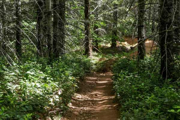
One-Way #98
This is a .8-mile directional loop trail that travels counterclockwise along a scenic forested corridor. This easy two-track is decently wide for ATVs and carved into the mossy Pacific Northwest landscape, with small loose rocks, shallow climbs, and naturally banked corners. Dense bushes and trees l...
Learn more about One-Way #98
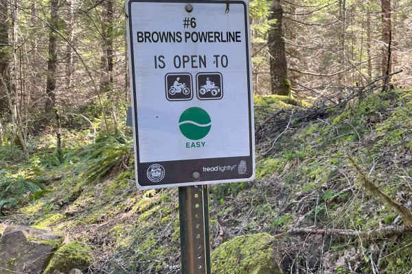
Brown's Powerline Connector
This trail just down from Brown's camp parking area. This is a dirt trail for 50-inch and smaller. It is marked easy level. A 50-inch side by side can get through if you don't have anything sticking out on the sides of vehicle, otherwise 4 wheeler and motorcycle best. It is narrow in some areas and ...
Learn more about Brown's Powerline Connector
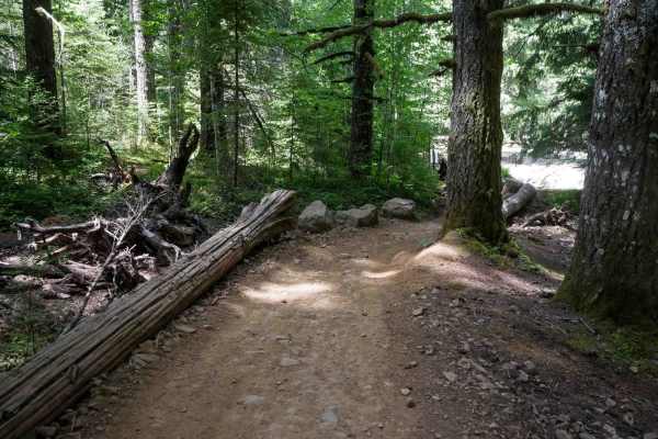
Kids Loop #86
Kids Loop is a short half-mile loop specifically designed for young or beginner riders. The trail is a decently wide ATV track that curves gently between the trees and is sometimes lined with logs as boundaries on the edge of the trail. It's located right next to the staging area, making it convenie...
Learn more about Kids Loop #86
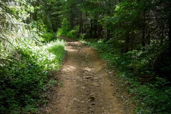
#43 Connector
#43 Connector is a short, less-than-half-mile segment that links Quarry to the main portion of the Military Trail. This easy two-track path features small loose rocks, a fairly flat and gradual grade, and a decently wide corridor suitable for most riders. About halfway through, there's a fun EnduroC...
Learn more about #43 Connector
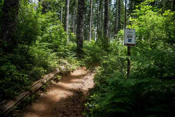
#9 Connector
This connector features a moderate climb from the north end through a fern-covered forest lined with western white pines. The trail surface consists of small loose rocks and occasional shallow ruts. After the initial climb, the trail descends gently along a hillside in a logged area with young pine ...
Learn more about #9 Connector
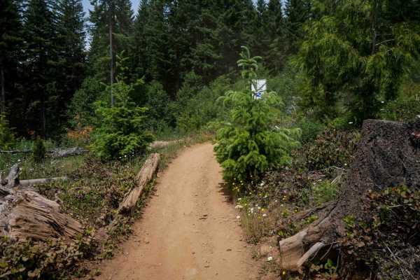
Rogers Camp Road #1
This is a 2-mile segment of Rogers Camp Road, a wide ATV trail running under a dense tree canopy. The route follows an easy grade with a smooth surface, scattered small loose rocks, and frequent gentle curves. While it has a few shelfy sections along the hillside, it remains highly manageable throug...
Learn more about Rogers Camp Road #1
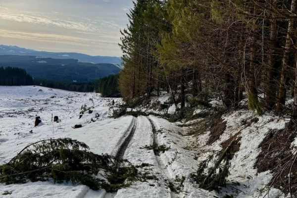
Hoffman Road
This is an easy open route that passes through private timber land. There are beautiful views overlooking LL Stubb Stewart State Park. There is no camping along this route but this connector will offer a couple of options to go further north towards Washington state and patches of BLM land. You will...
Learn more about Hoffman Road
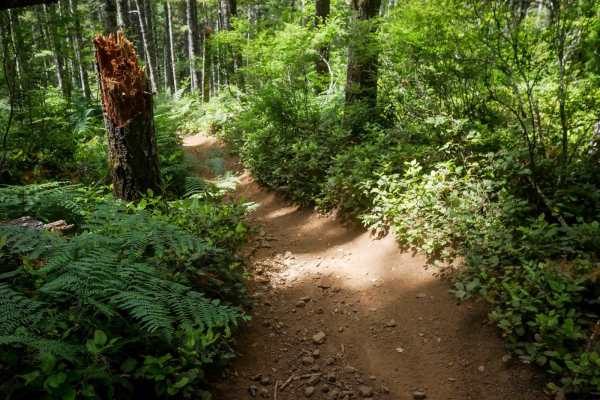
Crooked Bridge #3
Crooked Bridge #3 is a wide, fast, and flowy dirt ATV trail that's approachable for all skill levels. Starting from the southern entrance, it offers mostly straight sections with gentle curves and gradual grades, making it an enjoyable and low-stress ride. The trail surface consists of loose dirt wi...
Learn more about Crooked Bridge #3

Bacona-Pisgah Home Road
Along this road, you will see a mixed bag of conifer and hardwood. The trail is open year-round and offers the chance to see wildlife in the area. During the winter months expect deep snow. Possible flats may happen if not careful or paying attention to the sharp rocks, make sure to have good tires....
Learn more about Bacona-Pisgah Home Road
Hershey
Along this road, you will see a mixed bag of conifer and hardwood. The trail is open year-round and offers a great chance to see some wildlife. During the winter months expect deep snow. Possible flats may happen if not careful or paying attention to the sharp rocks. Log trucks may also be coming do...
Learn more about Hershey
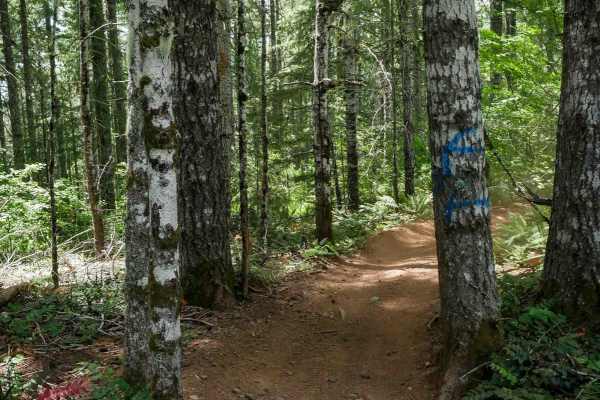
Firebreak One #2
Trail #2 is a half-mile-long, easy route that begins at the intersection with Trails #3 and #3A. It starts as a wide, road-width trail with small loose rocks and occasional waterbars before narrowing slightly as it passes between trees toward its northern end. It remains very manageable for all skil...
Learn more about Firebreak One #2
Lower Gunner Lake Mainline
Along this road, you will see a mixed bag of conifer and hardwood and possibly some wildlife as well. The trail is open year-round. During the winter months expect deep snow. Some areas have pit runs on them it seems like so have good tires. Possible flats may happen if not careful or paying attenti...
Learn more about Lower Gunner Lake Mainline
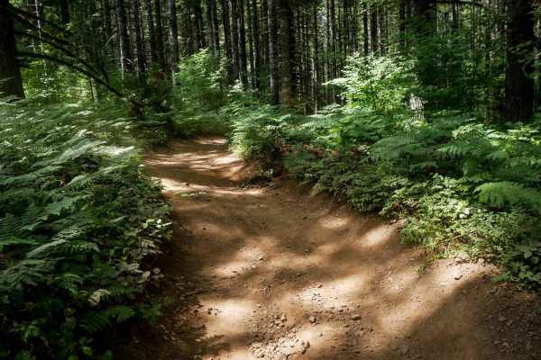
Quarry #44
Quarry #44 is a 0.7-mile ATV trail that begins with a short, steep section to enter the trail on the west end, over loose rock, then transitions into a wide and easy two-track winding through the forest. The trail features mild root bands, small rolling hills, and waterbars, but remains generally sm...
Learn more about Quarry #44
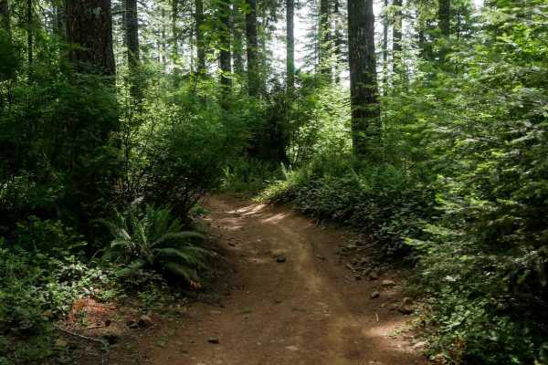
Marks #3A
Marks #3A is a short, half-mile ATV trail that winds through a forested area on a wide dirt path. With small loose rocks, gentle curves, and only mild elevation changes, it's well-suited for riders of all experience levels. The trail is fun, fast, and flowy, offering a relaxed ride despite some mino...
Learn more about Marks #3A
Gunner Lake Mainline
Along this road, you will see a mixed bag of conifer and hardwood and possibly some wildlife as well. The trail is open year-round. During the winter months expect deep snow. Possible flats may happen if not careful or paying attention to the sharp rocks. Log trucks may also be coming down, use caut...
Learn more about Gunner Lake Mainline
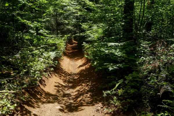
K Thumb #51
K Thumb #51 is a short, easy trail measuring 0.6 miles that winds through the forest with a gradual climb from south to north. The route is notably curvy, with small loose rocks, some embedded rock, and light ruts in a few dug-out sections. Despite these minor features, the trail remains very manage...
Learn more about K Thumb #51
Beginner ATV trails near Hillsboro, Oregon
Explore ATV-friendly trails near you. These trails are accessible for vehicles up to 50 inches wide, perfect for ATVs and smaller off-road machines.
Military #43
Military is a 2-mile graded and maintained trail featuring sections lined with cement pavers and a wide two-track surface through dense forest. Although mostly wide, there are occasional narrow tree pinches where trees closely line the trail. The route is fast and flowy with gentle curves, a few lar...
Learn more about Military #43
Clydes #7
Clydes is a 2-mile trail featuring an easy two-track route with frequent curves, small loose rocks, and occasional rutted or dug-out sections. The trail winds through a mossy, scenic forest of western white pines, with minor roots, water bars, and gentle, uneven terrain. There are a few straightaway...
Learn more about Clydes #7
One-Way #98
This is a .8-mile directional loop trail that travels counterclockwise along a scenic forested corridor. This easy two-track is decently wide for ATVs and carved into the mossy Pacific Northwest landscape, with small loose rocks, shallow climbs, and naturally banked corners. Dense bushes and trees l...
Learn more about One-Way #98
Brown's Powerline Connector
This trail just down from Brown's camp parking area. This is a dirt trail for 50-inch and smaller. It is marked easy level. A 50-inch side by side can get through if you don't have anything sticking out on the sides of vehicle, otherwise 4 wheeler and motorcycle best. It is narrow in some areas and ...
Learn more about Brown's Powerline Connector
Beginner UTV/side-by-side trails near Hillsboro, Oregon
Find UTV and side-by-side trails near you. These trails accommodate vehicles up to 60 inches wide, ideal for UTVs, side-by-sides, and wider off-road rigs.
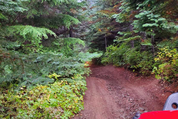
7 Up Ez
This is the easy side of 7 Up. It is fun and not as extreme as the hard side of 7 Up. Winding through the forest, there is a little bit of rutted-out dirt trial, some mud, rock sections, and lots of switchback turns. Lockers are not needed; just about any high clearance 4wd vehicle should be able to...
Learn more about 7 Up Ez
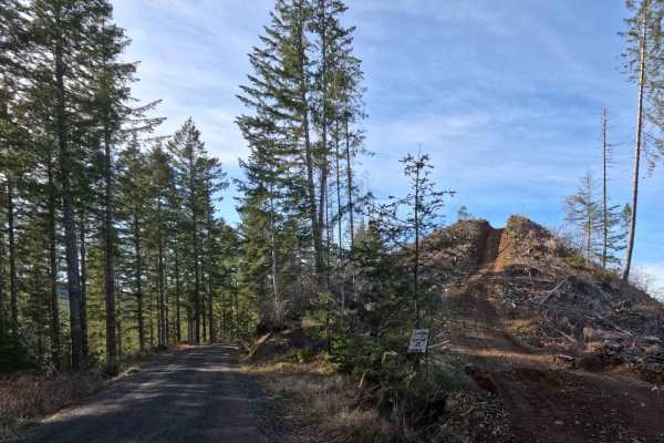
Archer Road
Archer Road is a fast-paced, highly accessible 2.5-mile gravel artery weaving through the vibrant and dynamic landscape of the Tillamook State Forest. Functioning as a primary, multi-use corridor, this exceptionally smooth, single-lane forest service road serves heavy-duty commercial logging operati...
Learn more about Archer Road
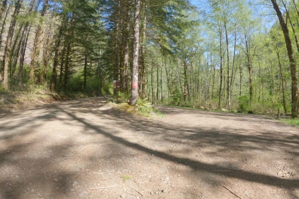
Hembre Ridge Road
Hembre Ridge Road is a gravel forest service road that starts off of Jordan Creek Road and climbs quickly and steeply up onto Hembre Ridge in the Tillamook Range. It is over 12 miles long and the majority follows the ridgeline. Much of the steep grade on the Northern end of the road is on the North ...
Learn more about Hembre Ridge Road
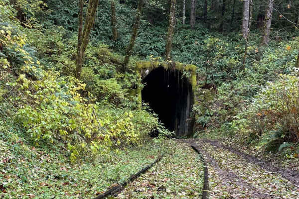
Salmonberry Railroad Tunnel Route
This route is an easy gravel road out and back route. The Beaver Slide Road dead ends at the Salmon Berry River where the road is washed out. There are many other logging roads that branch off. It would be pretty easy to find an alternate route on the way out for a change in scenery. The route is fa...
Learn more about Salmonberry Railroad Tunnel Route
The onX Offroad Difference
onX Offroad combines trail photos, descriptions, difficulty ratings, width restrictions, seasonality, and more in a user-friendly interface. Available on all devices, with offline access and full compatibility with CarPlay and Android Auto. Discover what you're missing today!
Open Trail Map