
Beginner Off-Road Trails
Near Greensburg, Kentucky
Explore All Beginner Trails Near Greensburg, Kentucky
Beginner Off-Road Trails Near Greensburg, Kentucky
Discover the best beginner-friendly off-road trails near you. These easier, lower-rated trails are a great place to start — browse trail maps, check difficulty ratings, and find your next adventure.
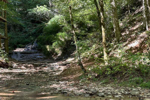
Waterfall Trail
This section of the trail takes you back to a scenic waterfall. The trail winds around a ridge with some tight turns but is not technical in nature. The waterfall is a cascade type that you can climb and is a great place to take photos or eat a light lunch.
Learn more about Waterfall Trail
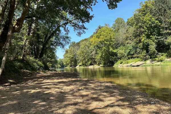
River Beach Access
The trail follows along the edge of a field before dropping down by the water's edge. You may encounter a few small mud holes on your way. The beach is rocky and big enough to fit several vehicles. There are optional steep climbs to return to the main trail if you want a challenge.
Learn more about River Beach Access
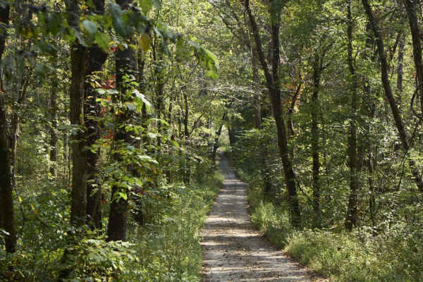
Ugly Creek - Mammoth Cave NP
Ugly Creek Road is a 3.5-mile one-way trail that is located within Mammoth Cave National Park. The trail begins off Green River Ferry Road (1352) and ends on Dennison Ferry Road. The trail can be run in either direction; however, there is a possible impassable water crossing closer to the Green Rive...
Learn more about Ugly Creek - Mammoth Cave NP
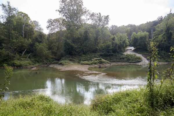
Houchin Ferry - Mammoth Cave NP
Houchin Ferry Road is a 5-mile out-and-back trail that is located within Mammoth Cave National Park. The trail begins off Ollie Road and ends along the Green River. There is no longer a possible way to cross the river at the end of the trail so you must turn back. Along the trail are a few parking a...
Learn more about Houchin Ferry - Mammoth Cave NP
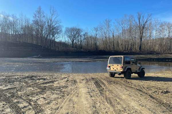
Oil Center WMA Main Via Ringgold Road
Note that this trail is impassable during high pool seasons of Lake Cumberland, from around March to October. Exercise caution and observe the water level. This route provides access through one of four roads to the Lake Cumberland WMA at Oil Center. Please keep in mind that this area is maintained ...
Learn more about Oil Center WMA Main Via Ringgold Road
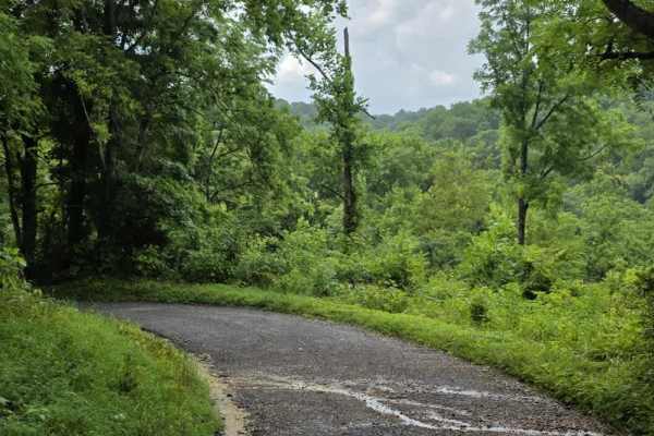
Beech Grove Road - Macon County Tour
Beech Grove Road is a short gravel segment of the Macon County Tour that offers mild elevation changes and a quiet rural setting. The entrance can be easy to miss, so drivers should watch carefully for the turnoff when navigating the route. Once on the road, the surface consists of gravel that has e...
Learn more about Beech Grove Road - Macon County Tour
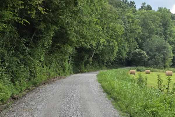
Knight Road - Macon County Tour
Knight Road is a slightly more engaging segment of the Macon County Tour that remains approachable while introducing a few mild features. The road follows a loose gravel surface and travels in close proximity to several rural homes and farms, so drivers should maintain slow speeds and remain alert f...
Learn more about Knight Road - Macon County Tour
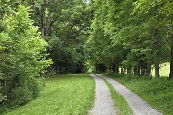
Wix Hollow Road - Macon County Tour
Wix Hollow Road is a scenic and slightly more dynamic segment of the Macon County Tour that briefly crosses into the state of Kentucky. The route features a mixed surface of dirt and gravel, offering a relaxed drive with a bit more character than a standard, maintained county road. The surrounding l...
Learn more about Wix Hollow Road - Macon County Tour
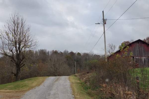
Puncheon Creek Road - Macon County Tour
Puncheon Creek Road is a scenic gravel segment of the Macon County Tour that follows and repeatedly crosses flowing water, creating a relaxed drive with 3 shallow creek features. The road surface consists primarily of loose gravel and travels in close proximity to rural homes and working farms, so m...
Learn more about Puncheon Creek Road - Macon County Tour
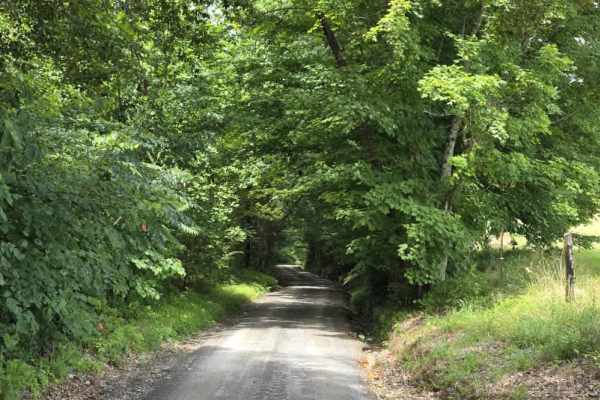
Highland Road - Macon County Tour
Highland Road is an easy, tightly packed gravel segment of the Macon County Tour that offers a straightforward rural drive. The surface is composed primarily of compacted rock and gravel, providing consistent traction under normal dry conditions. The road is generally one to one and a half lanes wid...
Learn more about Highland Road - Macon County Tour
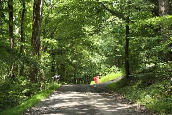
Spring Hollow Road - Macon County Tour
Spring Hollow Road is an easy gravel segment of the Macon County Tour that offers a relaxed drive with minor surface irregularities to keep drivers attentive. The road is typically about one and a half lanes wide, with periodic pull-offs that allow vehicles to pass when needed. While generally strai...
Learn more about Spring Hollow Road - Macon County Tour
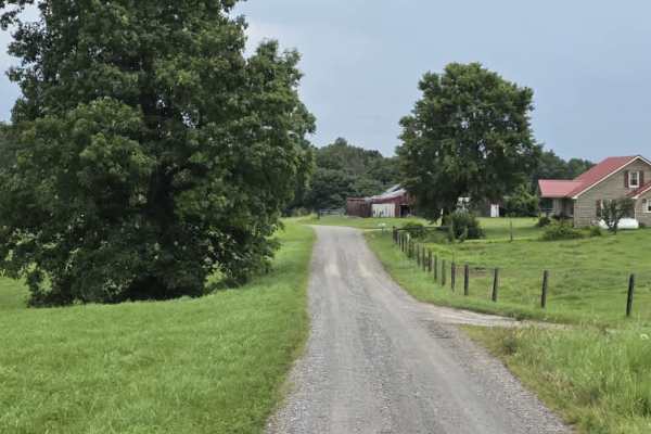
Shockley Hill Road - Macon County Tour
Shockley Hill Road is a very brief connector within the Macon County Tour, serving as a short transition between longer segments of pavement along the route. The road surface is gravel and straightforward for easy navigation, for 4WD and high-clearance 2WD vehicles. While not a destination segment o...
Learn more about Shockley Hill Road - Macon County Tour
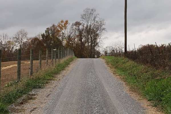
Holland Road - Macon County Tour
Holland Road is a short but scenic gravel segment of the Macon County Tour that offers a relaxed drive with a memorable water crossing at its end. The road is county-maintained and generally easy to navigate, though it can feel tight in places as it passes near farms and rural residences. Drivers sh...
Learn more about Holland Road - Macon County Tour
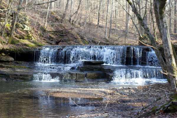
Long Fork Waterfall
Woodard Road is not a technical route;it is an easy gravel road leading down to a shallow creek crossing that includes a waterfall. The creek is shallow but the rock bottom can be slick. You can drive across it and continue further down the road or just turn around and head back out.
Learn more about Long Fork Waterfall
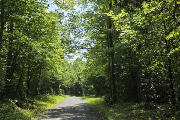
Goose Horn Road - Macon County Tour
Goose Horn Road is an easy gravel segment of the Macon County Tour, offering a relaxed drive beneath a dense canopy of hardwood trees. The route is relatively flat and county-maintained, making it accessible for most 4WD and high-clearance 2WD vehicles in normal conditions. The road is typically wid...
Learn more about Goose Horn Road - Macon County Tour
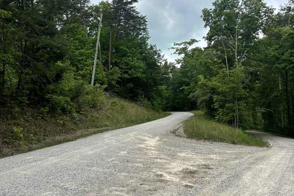
Parker Mountain Road
Parker Mountain Road is a well-maintained, improved, two-vehicle-width gravel road that can be used to travel between Bell Farm Road on the east and Highway 167 on the West end. Along the way, there are two overlooks with nice views and also a great, easy two-mile hike to the beautiful Buffalo Arch....
Learn more about Parker Mountain Road
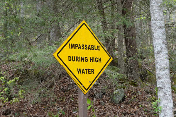
Woods Road
Woods Road is a great area that offers dispersed camping, campground camping, hiking, and fishing options all along the 7 mile stretch of gravel. Woods Road parallels Rock Creek for most of its length and provides a great base to further explore Daniel Boone National Forest and Big South Fork. Gobbl...
Learn more about Woods Road
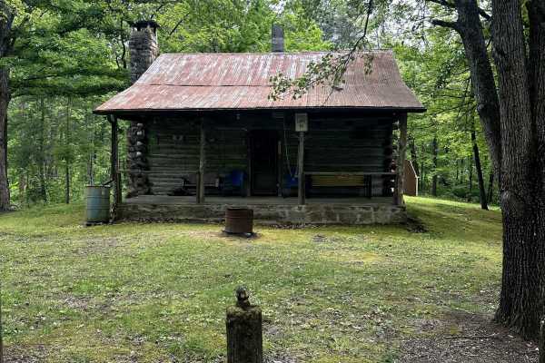
Bell Farm Road - FS 564
Bell Farm Road is a well-maintained, two-vehicle-wide gravel road that turns off of a Y in the road. This is a beautiful ride along some pastureland, and there is a nice overlook along the way. I did not see any camping opportunities along this route, although the map says it is permitted within 300...
Learn more about Bell Farm Road - FS 564
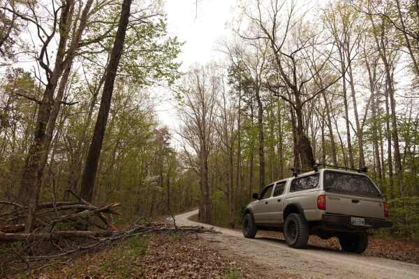
Dolan Mountain
Dolan Mountain Road is an easy, 4.2-mile scenic gravel route in the Daniel Boone National Forest that is perfect for beginners and stock SUVs looking to explore the Kentucky highlands. Climbing from Rock Creek at an elevation of 936 feet up to the ridge of Dolan Mountain at 1,579 feet, this well-mai...
Learn more about Dolan Mountain
Sneed Hollow Road
Sneed Hollow Road is a short, scenic gravel spur that connects back into the broader Macon County Tour, making it an easy, but worthwhile, down-and-back addition for those looking to extend the drive. Though not officially part of the tour, it flows naturally off the main route and returns you right...
Learn more about Sneed Hollow Road
Beginner ATV trails near Greensburg, Kentucky
Explore ATV-friendly trails near you. These trails are accessible for vehicles up to 50 inches wide, perfect for ATVs and smaller off-road machines.
Waterfall Trail
This section of the trail takes you back to a scenic waterfall. The trail winds around a ridge with some tight turns but is not technical in nature. The waterfall is a cascade type that you can climb and is a great place to take photos or eat a light lunch.
Learn more about Waterfall Trail
River Beach Access
The trail follows along the edge of a field before dropping down by the water's edge. You may encounter a few small mud holes on your way. The beach is rocky and big enough to fit several vehicles. There are optional steep climbs to return to the main trail if you want a challenge.
Learn more about River Beach Access
Ugly Creek - Mammoth Cave NP
Ugly Creek Road is a 3.5-mile one-way trail that is located within Mammoth Cave National Park. The trail begins off Green River Ferry Road (1352) and ends on Dennison Ferry Road. The trail can be run in either direction; however, there is a possible impassable water crossing closer to the Green Rive...
Learn more about Ugly Creek - Mammoth Cave NP
Houchin Ferry - Mammoth Cave NP
Houchin Ferry Road is a 5-mile out-and-back trail that is located within Mammoth Cave National Park. The trail begins off Ollie Road and ends along the Green River. There is no longer a possible way to cross the river at the end of the trail so you must turn back. Along the trail are a few parking a...
Learn more about Houchin Ferry - Mammoth Cave NP
Beginner UTV/side-by-side trails near Greensburg, Kentucky
Find UTV and side-by-side trails near you. These trails accommodate vehicles up to 60 inches wide, ideal for UTVs, side-by-sides, and wider off-road rigs.
Waterfall Trail
This section of the trail takes you back to a scenic waterfall. The trail winds around a ridge with some tight turns but is not technical in nature. The waterfall is a cascade type that you can climb and is a great place to take photos or eat a light lunch.
Learn more about Waterfall Trail
River Beach Access
The trail follows along the edge of a field before dropping down by the water's edge. You may encounter a few small mud holes on your way. The beach is rocky and big enough to fit several vehicles. There are optional steep climbs to return to the main trail if you want a challenge.
Learn more about River Beach Access
Ugly Creek - Mammoth Cave NP
Ugly Creek Road is a 3.5-mile one-way trail that is located within Mammoth Cave National Park. The trail begins off Green River Ferry Road (1352) and ends on Dennison Ferry Road. The trail can be run in either direction; however, there is a possible impassable water crossing closer to the Green Rive...
Learn more about Ugly Creek - Mammoth Cave NP
Houchin Ferry - Mammoth Cave NP
Houchin Ferry Road is a 5-mile out-and-back trail that is located within Mammoth Cave National Park. The trail begins off Ollie Road and ends along the Green River. There is no longer a possible way to cross the river at the end of the trail so you must turn back. Along the trail are a few parking a...
Learn more about Houchin Ferry - Mammoth Cave NP
The onX Offroad Difference
onX Offroad combines trail photos, descriptions, difficulty ratings, width restrictions, seasonality, and more in a user-friendly interface. Available on all devices, with offline access and full compatibility with CarPlay and Android Auto. Discover what you're missing today!
Open Trail Map