
Beginner Off-Road Trails
Near Grannis, Arkansas
Explore All Beginner Trails Near Grannis, Arkansas
Beginner Off-Road Trails Near Grannis, Arkansas
Discover the best beginner-friendly off-road trails near you. These easier, lower-rated trails are a great place to start — browse trail maps, check difficulty ratings, and find your next adventure.
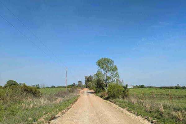
Route 4
This trail isn't maintained, but locals use it often to get between Wickes and Vandervoort, so it stays pretty passable. It's a bit rough in spots, and we had to clear a fallen tree when we went through. There's a river crossing with super clear water--perfect for a quick dip or to cool off your fee...
Learn more about Route 4
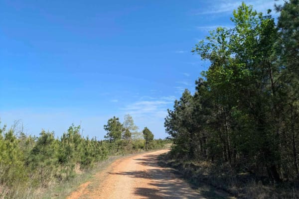
FR 20670
Forest Road 20670 is a well-maintained logging road that offers a scenic drive through remote forested terrain. The route passes through a U.S. Forest Service gate, which may be seasonally closed during the winter months--always check gate status before heading out. This road winds through a picture...
Learn more about FR 20670
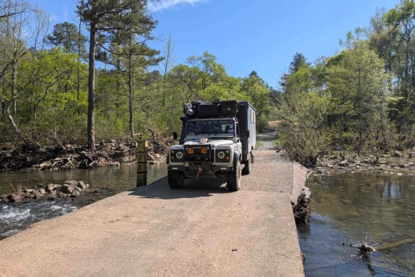
Polk Road
This trail begins high in the mountainous forest and descends into lush, green farmland, eventually leading to Route 4, which connects to the towns of Wickes and Vandervoort. It serves as an active logging route and follows a wide, generally well-maintained gravel road, though sections can be rocky ...
Learn more about Polk Road
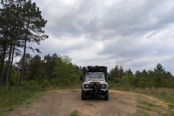
51701
This narrow dual-track trail is unmaintained and features a rocky surface, but it remains easy and enjoyable to drive with a capable vehicle. It winds through forested terrain where dry firewood is abundant, though fire restrictions should be checked before collecting or burning any. One or two pote...
Learn more about 51701
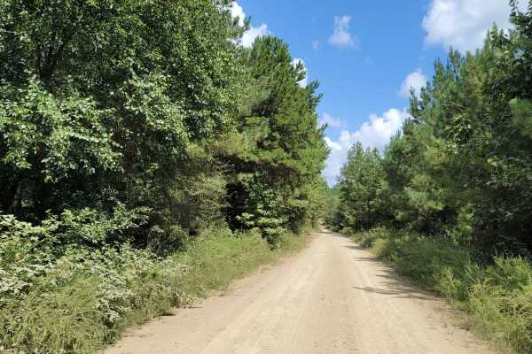
Cut Across to Gillham Road
This is a loose gravel and dirt road leading to Gillham Road, Gillham Lake and Cossatot Reefs Campground. Be aware of hunting and logging trucks. Cell signal is not reliable in these areas. Good tires are needed as sharp rocks and loose dirt will be encountered.
Learn more about Cut Across to Gillham Road
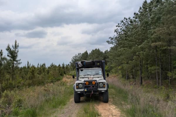
51707
This trail is a grassy two-track route that appears to see little use, with vegetation encroaching from both sides. Despite its overgrown appearance, the surface remains smooth and easy to drive. While maps indicate that the trail connects to another route, it actually ends abruptly in dense forest ...
Learn more about 51707
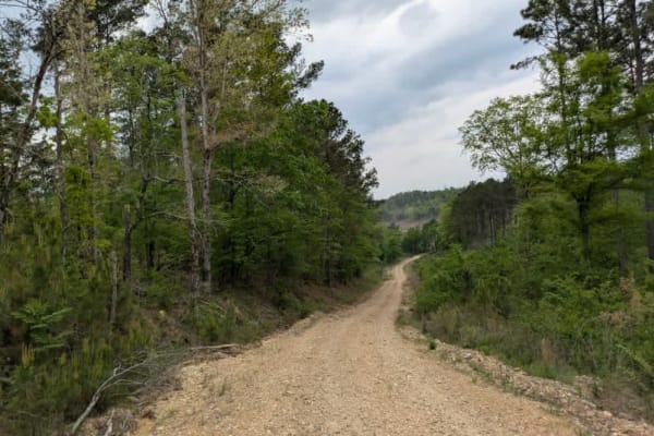
51700
This trail follows a wide gravel road that is rocky in sections but generally easy to navigate. It ascends into a cleared area of forest that feels stark and exposed, but the landscape becomes more scenic as the trail descends back into denser woodland. Along the way, there are a few gentle climbs a...
Learn more about 51700
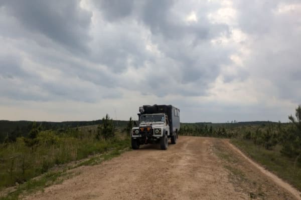
51220
This trail is a functional logging track composed mostly of gravel that winds through forested sections and large areas that have been heavily logged. Although it is not particularly scenic or enjoyable to drive, it serves as a useful connector to other nearby trails. A single bridge must be crossed...
Learn more about 51220
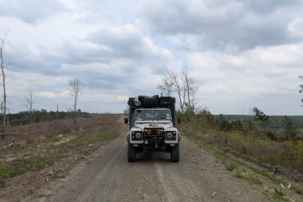
51705
This is a relatively narrow but well-maintained trail that appears to be lightly traveled, gradually ascending into a logging zone and areas of cleared forest. While the initial stretch passes through recently cut sections, the trail becomes more scenic and enjoyable as it winds deeper into the wood...
Learn more about 51705
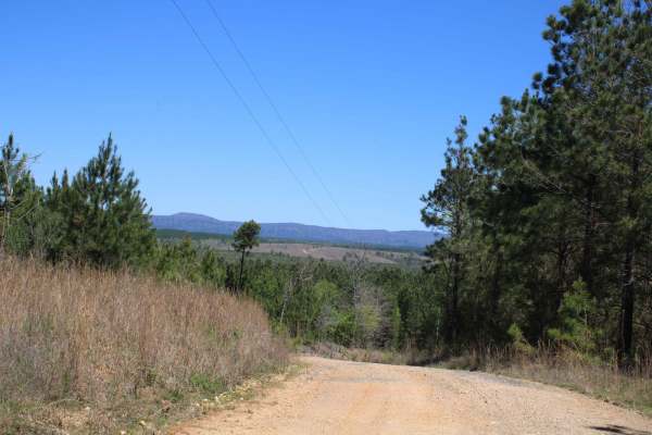
Howard County WMA To Highway 278
Maintained gravel roads in Howard County WMA that exit at Highway 278. A free annual General Use Permit (WMP) is required to hunt or trap WMAs. Permits are available online by clicking "Buy Licenses" at agfc.com or by calling 833-345-0325 or any regional office. Hunters, trappers, and campers 16 ye...
Learn more about Howard County WMA To Highway 278

Gillham Dam And Cossatot Reefs Campground
Gillham Road is a gravel road that, in some places, can become a rough ride. This adventure leads to Gillham Dam and Cossatot Reefs Campground. There are also a couple of other campgrounds further down the road. The gravel ends at Lake Gillham, which is a nice place to end a day of exploring.
Learn more about Gillham Dam And Cossatot Reefs Campground
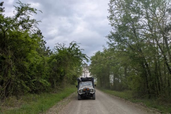
Gillham Lake Road
This trail is a well-maintained, flat gravel road that begins at a paved road and leads to a lake, passing by a smallholding along the way. It continues to wind gently through the forest, offering a peaceful and scenic drive suitable for most vehicles. There are three established campsites at the en...
Learn more about Gillham Lake Road
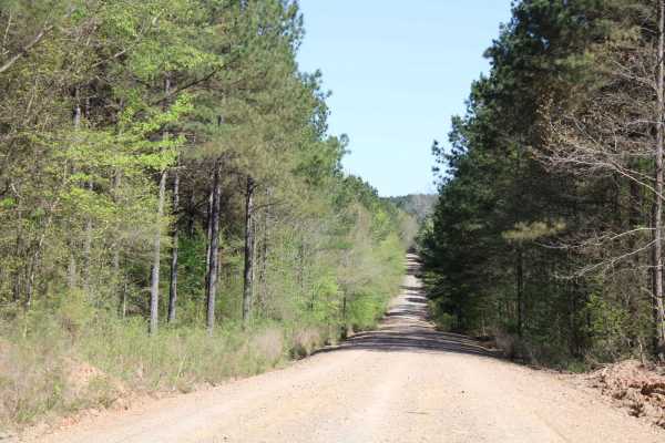
Howard County WMA 485RD Circle
Gravel roads that are in the Howard County WMA. These gravel roads are well maintained but can be muddy when wet. This trail ends at a circle turn around. Gates can be closed at times. There is a gate at the beginning of this trail. A free annual General Use Permit (WMP) is required to hunt or trap ...
Learn more about Howard County WMA 485RD Circle
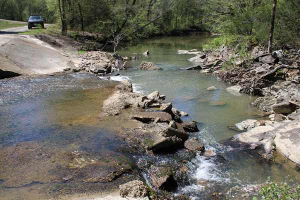
Spectacular View In Howard County WMA
Maintained gravel roads in Howard County WMA make up this trail to a spectacular view. This trail has a gate that can be opened or closed. Beautiful views, tight turns, a running creek, and bridged water crossings are along this trail. Access on the west side is facilitated by crossing Gillham Lake ...
Learn more about Spectacular View In Howard County WMA
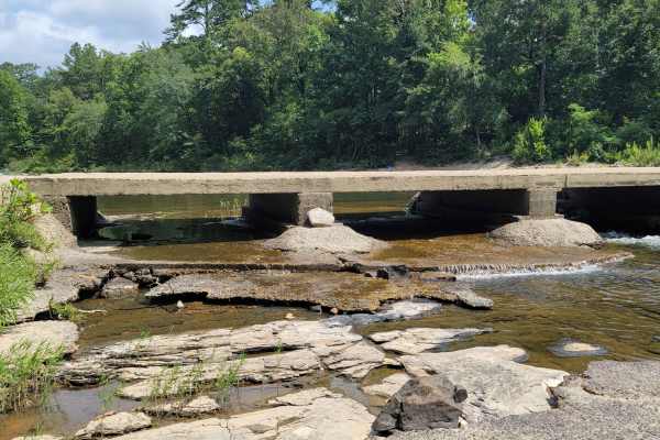
Cossatot River Campgrounds Route
This route takes you by several campground areas along the Cossatot River. You have access to camping, swimming, nature viewing, hiking, kayaking, fishing, gravel roads with awesome views, and more. There are elevation changes along the route. The Cossatot Natural Area State Park has modern restroom...
Learn more about Cossatot River Campgrounds Route
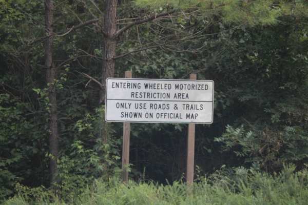
West Boundary
This is a maintained gravel forest road. There can be mud when wet. This road is very dusty when dry. You access this road from HWY 246. Expect beautiful views and wildlife to be seen along this trail in the Ouachita National Forest. Dispersed camping and streams are in this area. Lots to discover a...
Learn more about West Boundary
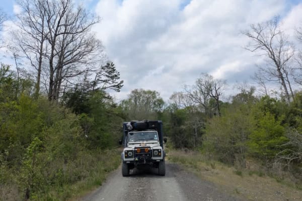
52600
This well-maintained gravel trail branches off from a paved road and winds its way into a mixed-use area that serves as both a wildlife reserve and a logging zone. The drive is pleasant, passing through dense forest and crossing a bridge that shows clear signs of severe water damage. While the route...
Learn more about 52600
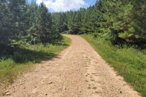
Striking Snake Route
Loose Gravel roads with a few small stream crossings. Concrete bridges cover most of the streams that will be crossed. During heavy rain some areas could be blocked. There are some nice inclines and beautiful views in this area.
Learn more about Striking Snake Route
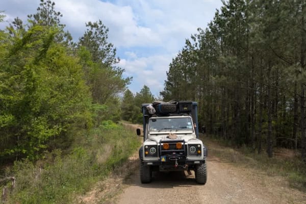
51821
This relatively narrow but well-maintained trail climbs steadily toward a logging area and sections of cleared forest. The ascent is winding, and although the cleared areas can feel stark, the drive becomes more pleasant once deeper into the forest. Traveling downhill is generally easy, though the u...
Learn more about 51821
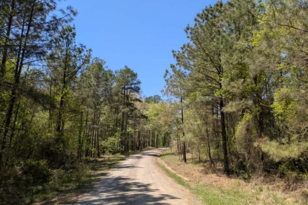
24200
This trail follows a well-maintained gravel logging road that winds through active timber-cutting areas. The route is dusty, particularly in dry conditions, and drivers should remain alert for fast-moving logging trucks that may appear without warning. Although the logging crews are typically courte...
Learn more about 24200
Beginner ATV trails near Grannis, Arkansas
Explore ATV-friendly trails near you. These trails are accessible for vehicles up to 50 inches wide, perfect for ATVs and smaller off-road machines.
Route 4
This trail isn't maintained, but locals use it often to get between Wickes and Vandervoort, so it stays pretty passable. It's a bit rough in spots, and we had to clear a fallen tree when we went through. There's a river crossing with super clear water--perfect for a quick dip or to cool off your fee...
Learn more about Route 4
FR 20670
Forest Road 20670 is a well-maintained logging road that offers a scenic drive through remote forested terrain. The route passes through a U.S. Forest Service gate, which may be seasonally closed during the winter months--always check gate status before heading out. This road winds through a picture...
Learn more about FR 20670
Polk Road
This trail begins high in the mountainous forest and descends into lush, green farmland, eventually leading to Route 4, which connects to the towns of Wickes and Vandervoort. It serves as an active logging route and follows a wide, generally well-maintained gravel road, though sections can be rocky ...
Learn more about Polk Road
51701
This narrow dual-track trail is unmaintained and features a rocky surface, but it remains easy and enjoyable to drive with a capable vehicle. It winds through forested terrain where dry firewood is abundant, though fire restrictions should be checked before collecting or burning any. One or two pote...
Learn more about 51701
Beginner UTV/side-by-side trails near Grannis, Arkansas
Find UTV and side-by-side trails near you. These trails accommodate vehicles up to 60 inches wide, ideal for UTVs, side-by-sides, and wider off-road rigs.
Route 4
This trail isn't maintained, but locals use it often to get between Wickes and Vandervoort, so it stays pretty passable. It's a bit rough in spots, and we had to clear a fallen tree when we went through. There's a river crossing with super clear water--perfect for a quick dip or to cool off your fee...
Learn more about Route 4
FR 20670
Forest Road 20670 is a well-maintained logging road that offers a scenic drive through remote forested terrain. The route passes through a U.S. Forest Service gate, which may be seasonally closed during the winter months--always check gate status before heading out. This road winds through a picture...
Learn more about FR 20670
Polk Road
This trail begins high in the mountainous forest and descends into lush, green farmland, eventually leading to Route 4, which connects to the towns of Wickes and Vandervoort. It serves as an active logging route and follows a wide, generally well-maintained gravel road, though sections can be rocky ...
Learn more about Polk Road
51701
This narrow dual-track trail is unmaintained and features a rocky surface, but it remains easy and enjoyable to drive with a capable vehicle. It winds through forested terrain where dry firewood is abundant, though fire restrictions should be checked before collecting or burning any. One or two pote...
Learn more about 51701
The onX Offroad Difference
onX Offroad combines trail photos, descriptions, difficulty ratings, width restrictions, seasonality, and more in a user-friendly interface. Available on all devices, with offline access and full compatibility with CarPlay and Android Auto. Discover what you're missing today!
Open Trail Map