
Beginner Off-Road Trails
Near Fredericktown, Missouri
Explore All Beginner Trails Near Fredericktown, Missouri
Beginner Off-Road Trails Near Fredericktown, Missouri
Discover the best beginner-friendly off-road trails near you. These easier, lower-rated trails are a great place to start — browse trail maps, check difficulty ratings, and find your next adventure.
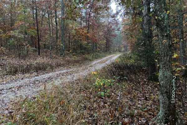
Flip Flop - FS 2128
Flip Flop FS 2128 is a gravel road transforming into a natural-improved forestry route within the Mark Twain National Forest Fredericktown Unit. Flip Flop is an easy little trail on the east side of US Route 67, featuring minimal elevation changes but a decent spread of changes in terrain throughout...
Learn more about Flip Flop - FS 2128
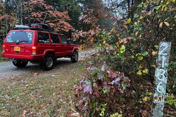
Burns Mountain - FS 2136
The Burns Mountain FS 2136 is a gravel forestry route within the Mark Twain National Forest Fredericktown Unit. The road is graceful and full of foliage, terrain-wise only featuring a few mild hills joined together by generally well-maintained gravel. The purpose of this trail is evident in the many...
Learn more about Burns Mountain - FS 2136
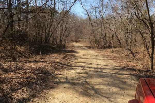
Twelvemile Creek FSR 2130
Twelvemile Creek FSR 2130 is a gravel-leaning natural improved forestry route through the Fredericktown sector of Mark Twain National Forest. It features a creek crossing at Twelvemile Creek right out of the gate, but then slowly tracks up a rutted hill, to a flattened-out area, where an overland ca...
Learn more about Twelvemile Creek FSR 2130

Derecho - FS 2138
Derecho FS 2138 is a natural dirt terrain forest service road, within the Mark Twain National Forest Fredericktown Unit. The road shines through its use in the hunting season, as signs show that is its biggest use, but it comes with its mild thrills of small mudholes and water collection spots, semi...
Learn more about Derecho - FS 2138
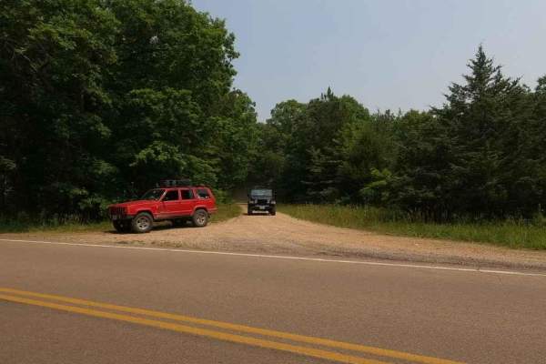
Matthews Mountain FSR 2127
Matthews Mountain FSR 2137 is a forestry road that goes through the bottoms and hills near Central, MO, in the Fredericktown sector of Mark Twain National Forest. The road is classified as a gravel forestry road, but it definitely leans towards a natural surface road the deeper traveled into it. The...
Learn more about Matthews Mountain FSR 2127

Madison County Road 249
Madison County Road 249 is a gravel-based road that travels through the northeastern hills of Madison County. It features scenic views of Spring Valley Creek and then leads up a moderate grade to weave in and out of the power-line cut out. The trail crosses two cattle guards along the way, be easy o...
Learn more about Madison County Road 249
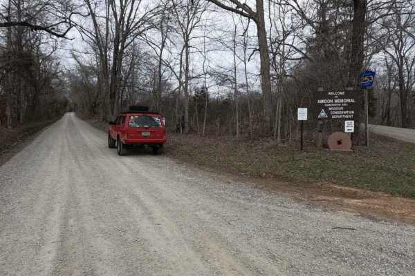
Castor River Shut-Ins Road
The Castor River Shut-ins Road, also known as Madison County Road 253, is a simple gravel road leading to the Missouri Department of Conservation Area of the same name. The road features smooth riding with well-maintained gravel, at the halfway point is the entrance to the parking lot for the Shut-i...
Learn more about Castor River Shut-Ins Road
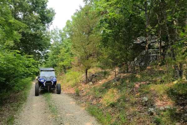
Cedar Bottom FSR 2159
Cedar Bottom FSR 2159, also referred to as Copper Mountain, is a gravel forestry road that is within the Fredericktown Sector of Mark Twain National Forest. It is a mild ride with a slow grade up and a slow grade back down ending at a turnaround spot at the end. The most this road has to challenge i...
Learn more about Cedar Bottom FSR 2159
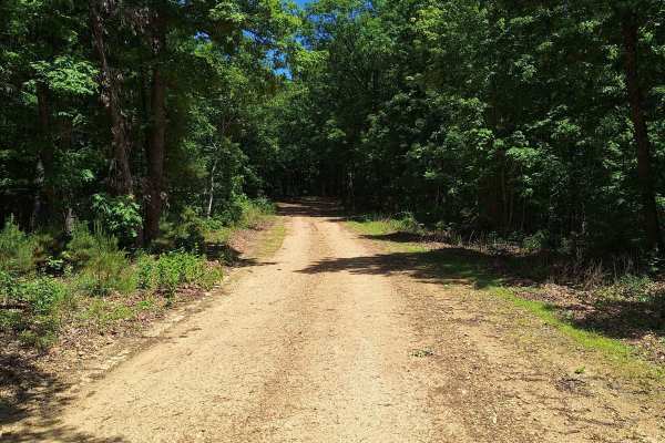
Miller Chapel FSR 2501
This trail starts as an unmaintained trail, light gravel/dirt, and turns into an all-dirt road. Along this road, you will not only have a beautiful drive through the woods but will also be welcomed with much wildlife. Towards the end of this trail, you will come to multiple water/mud holes of unknow...
Learn more about Miller Chapel FSR 2501
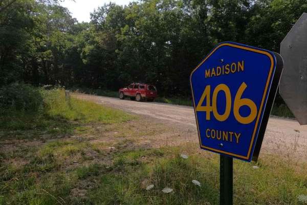
Mad-Co Road 406
The Madison County Road 406 is a gravel county road within the Fredericktown sector of Mark Twain National Forest. The road is useful to know within the network of hitting all the trails or shortcutting between the Matthews Mountain FSR 2127 and Central School FSR 2100 area to Bill Smith Hollow FSR ...
Learn more about Mad-Co Road 406

Central School FSR 2100
This road is the start and continuation of Central Pond FSR 2144. This road starts with a small creek crossing and continues uphill with a shallow rutted road. At the top of the hill, it opens up and it is a beautiful drive on top of the hills. There are a couple of small cutouts that would make goo...
Learn more about Central School FSR 2100
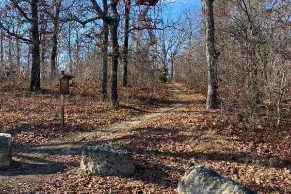
Knob Lick Tower Road
Knob Lick Tower Road leads to a Missouri Department of Conservation area that holds the publicly accessible Knob Lick Tower overlooking the St Francois Mountains. The road's primary surface is gravel, and despite being well-packed, and maintained, it features mounding, washboarding, and mild ruts. T...
Learn more about Knob Lick Tower Road
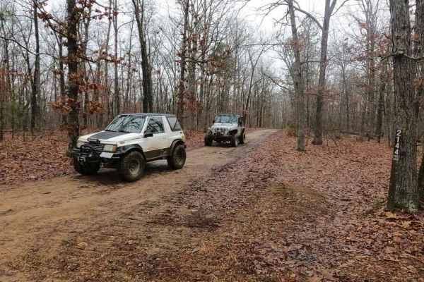
Central Pond FSR 2144
The Central Pond FSR 2144 is a mild-weight gravel forestry road that leads through the St Francis Mountains within Mark Twain National Forest. The road features gravel at its foundation, but in spots, the trail fades to dirt or mud. On the hills and grades, it has a tendency to form ruts and washes,...
Learn more about Central Pond FSR 2144
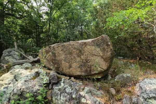
Faro Tower Road FSR 2124
The Faro Tower Road FSR 2124, also referenced to as Little Grass Mountain or Rockpile Mountain Wilderness, is an old fire tower access road within the Fredericktown sector of Mark Twain National Forest. The road is moderate grade climb up a generally well maintained gravel road, it slowly curls arou...
Learn more about Faro Tower Road FSR 2124
Mount Gilead Church FSR 2148
Mount Gilead Church FSR 2148, is a gravel forestry road that travels a small area of the Fredericktown sector of Mark Twain National Forest, within the northern hills of Madison County, Missouri. It features course gravel that was recently hauled in for logging purposes, there are a few mild hills a...
Learn more about Mount Gilead Church FSR 2148
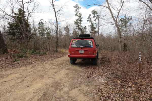
Grounds Creek FSR 2068
The Grounds Creek FSR 2068 is a gravel forestry route leading to the hilltop north of Grounds Creek, which is located north of the Pine Union area in the Fredericktown Sector of Mark Twain National Forest. The main use of the road is for apparent hunting purposes in the area, though it does have a f...
Learn more about Grounds Creek FSR 2068
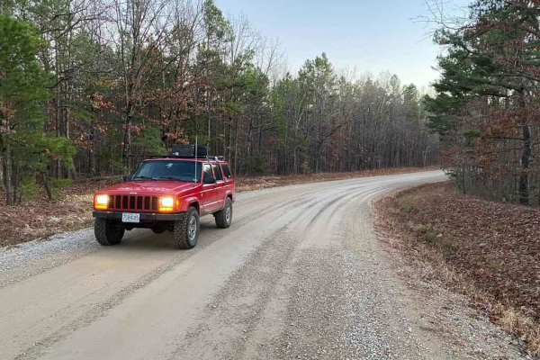
Madison Co Road 247
Madison Co Road 247 (also known as Bo-Co Road 247) is an easy, scenic gravel route through the Mark Twain National Forest that is perfect for beginners, families, and anyone looking for a relaxed, picturesque drive with wide-open views. Spanning approximately 2 miles with minimal elevation change, t...
Learn more about Madison Co Road 247
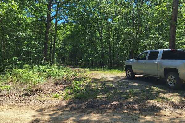
South Windy FSR 3304
This trail starts as a light gravel/dirt two-track. About 100 feet in is an uphill section with shallow washouts. As you get to the top of the hill, it becomes a little soft. Some of this road will be slightly overgrown as well. There is a little cut-out that would make a good campsite. As you conti...
Learn more about South Windy FSR 3304
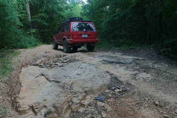
Arnett Mountain FSR 2191
Arnett Mountain FSR 2191 is a gravel-leaning natural forest road through the Fredericktown Sector of Mark Twain National Forest. The road starts at Pig Pen Gap fully gravel-covered and with trimmed tree lines, but shortly after the entrance, erosion ruts start to form and show that this trail is mor...
Learn more about Arnett Mountain FSR 2191
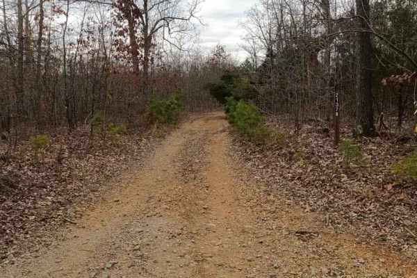
Pine Union Spur B FSR 2137B
The Pine Union 2137 Spur B is a natural forestry road in the Fredericktown Sector of the Mark Twain National Forest. It traverses the natural landscape of the Madison County hills, featuring a dirt road at the base with course rock, mild water collections, mild rutting, some natural rock and tree ro...
Learn more about Pine Union Spur B FSR 2137B
Beginner ATV trails near Fredericktown, Missouri
Explore ATV-friendly trails near you. These trails are accessible for vehicles up to 50 inches wide, perfect for ATVs and smaller off-road machines.
Miller Chapel FSR 2501
This trail starts as an unmaintained trail, light gravel/dirt, and turns into an all-dirt road. Along this road, you will not only have a beautiful drive through the woods but will also be welcomed with much wildlife. Towards the end of this trail, you will come to multiple water/mud holes of unknow...
Learn more about Miller Chapel FSR 2501
Central School FSR 2100
This road is the start and continuation of Central Pond FSR 2144. This road starts with a small creek crossing and continues uphill with a shallow rutted road. At the top of the hill, it opens up and it is a beautiful drive on top of the hills. There are a couple of small cutouts that would make goo...
Learn more about Central School FSR 2100
South Windy FSR 3304
This trail starts as a light gravel/dirt two-track. About 100 feet in is an uphill section with shallow washouts. As you get to the top of the hill, it becomes a little soft. Some of this road will be slightly overgrown as well. There is a little cut-out that would make a good campsite. As you conti...
Learn more about South Windy FSR 3304
CR 404 Crane
This is a scenic route from Highway 49 to Crane Lake Recreation Area. Enjoy the ride; it'll be moderate (weather may affect some areas, so watch for downed trees or potential water on the road). When you arrive at Crane Lake, make sure you check out the boat dock-an awesome spot to have a lunch brea...
Learn more about CR 404 Crane
Beginner UTV/side-by-side trails near Fredericktown, Missouri
Find UTV and side-by-side trails near you. These trails accommodate vehicles up to 60 inches wide, ideal for UTVs, side-by-sides, and wider off-road rigs.
Matthews Mountain FSR 2127
Matthews Mountain FSR 2137 is a forestry road that goes through the bottoms and hills near Central, MO, in the Fredericktown sector of Mark Twain National Forest. The road is classified as a gravel forestry road, but it definitely leans towards a natural surface road the deeper traveled into it. The...
Learn more about Matthews Mountain FSR 2127
Cedar Bottom FSR 2159
Cedar Bottom FSR 2159, also referred to as Copper Mountain, is a gravel forestry road that is within the Fredericktown Sector of Mark Twain National Forest. It is a mild ride with a slow grade up and a slow grade back down ending at a turnaround spot at the end. The most this road has to challenge i...
Learn more about Cedar Bottom FSR 2159
Miller Chapel FSR 2501
This trail starts as an unmaintained trail, light gravel/dirt, and turns into an all-dirt road. Along this road, you will not only have a beautiful drive through the woods but will also be welcomed with much wildlife. Towards the end of this trail, you will come to multiple water/mud holes of unknow...
Learn more about Miller Chapel FSR 2501
Mad-Co Road 406
The Madison County Road 406 is a gravel county road within the Fredericktown sector of Mark Twain National Forest. The road is useful to know within the network of hitting all the trails or shortcutting between the Matthews Mountain FSR 2127 and Central School FSR 2100 area to Bill Smith Hollow FSR ...
Learn more about Mad-Co Road 406
The onX Offroad Difference
onX Offroad combines trail photos, descriptions, difficulty ratings, width restrictions, seasonality, and more in a user-friendly interface. Available on all devices, with offline access and full compatibility with CarPlay and Android Auto. Discover what you're missing today!
Open Trail Map