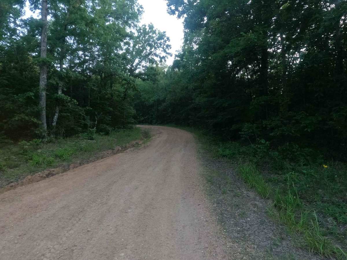
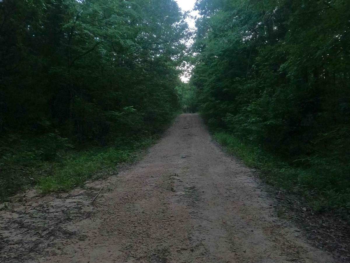
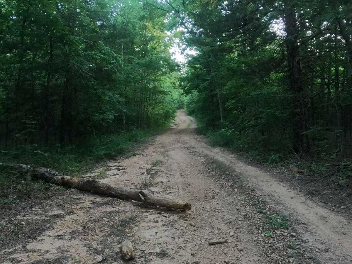
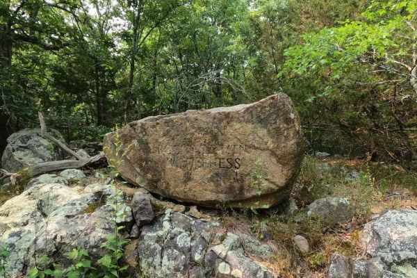
Trail Overview
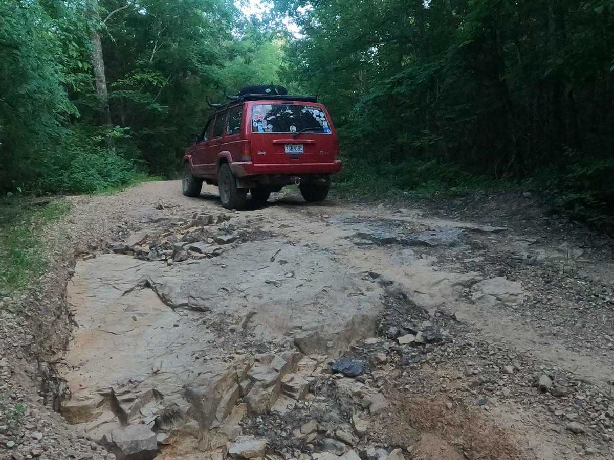
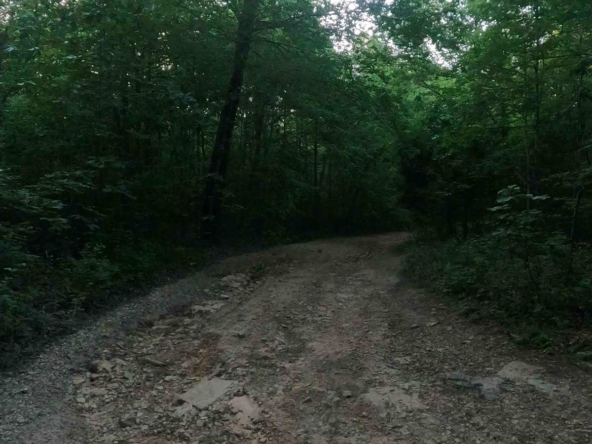
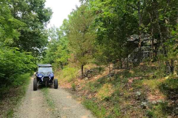
Arnett Mountain FSR 2191 is a gravel-leaning natural forest road through the Fredericktown Sector of Mark Twain National Forest. The road starts at Pig Pen Gap fully gravel-covered and with trimmed tree lines, but shortly after the entrance, erosion ruts start to form and show that this trail is more than a basic gravel forestry road. For the first 1.6 miles of the 2.6-mile track up this mountain, there is a near-continuous grade taking you from 780 feet to 1,230 feet in elevation. It hits a few small variations at the mountaintop before making one last climb to 1,290 feet. Due to this grade, water channelizes down the road, forming various natural obstacles, such as coarse rock ranging from mostly golf ball size to some the size of basketballs, mixed with ruts (ranging from hard to soft bottoms), soft dirt sections (potential surface mud), water collection holes, and natural smooth rock exposed at the surface. It's a great fun road to hit with some mild challenges.
Difficulty
The difficulty of FSR 2191 is in the moderate uphill grade paired with erosion due to water channeling down the hill. In several spots, it has exposed 12-18-inch tall natural slick rock (these can generally be bypassed or used to add thrill to the ride) and has etched foot-deep ruts (you have to straddle and cross them throughout the middle mile of the road), some with soft dirt bottoms (potentially muddy), some with rocky hard bottoms. You will also experience loose coarse rock throughout, ranging from mostly golf ball size, up to rare instances of basketball size. Towards the top of the mountain, the road shifts to a more natural state, with coarse rock being the primary surface. Here you will also cross a few mild water collection spots. Stock SUVs would be pushed to their limits in terms of clearance and flex but could do it. This would be safe and challenging for a vehicle with a little lift and slightly bigger tires, and a cakewalk (but interesting) for a vehicle with plenty of flex and bigger tires. All this said, the trail is given a 3/10 base rating, though it is a very solid three and could be elevated to a 4/10 with more water erosion and time. If the road were to be mended, it could easily drop to 2/10. Rainwater and wet conditions add to the difficulty of the trail.