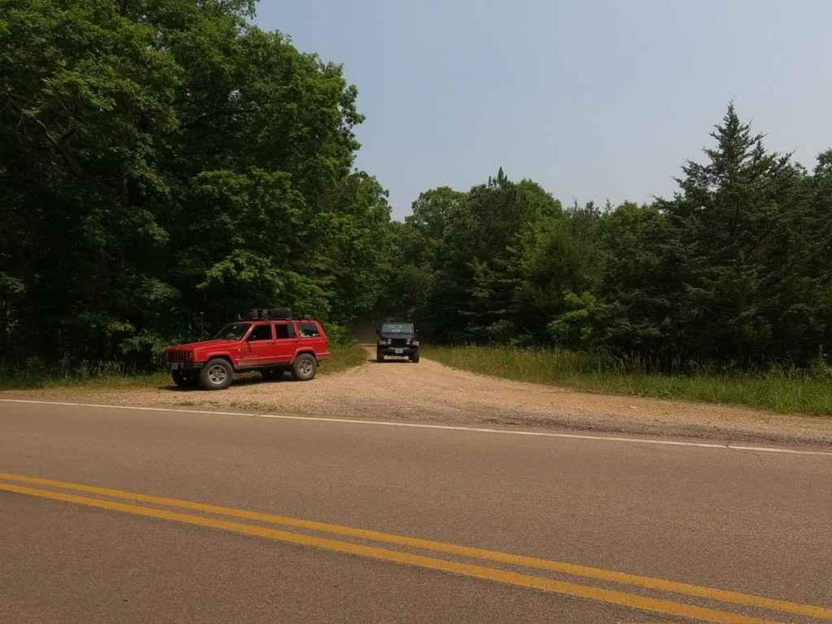
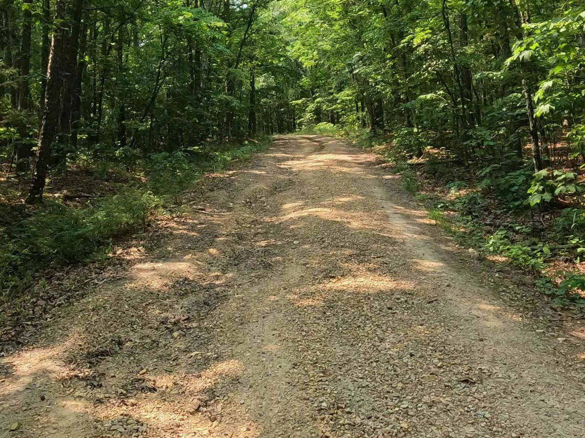
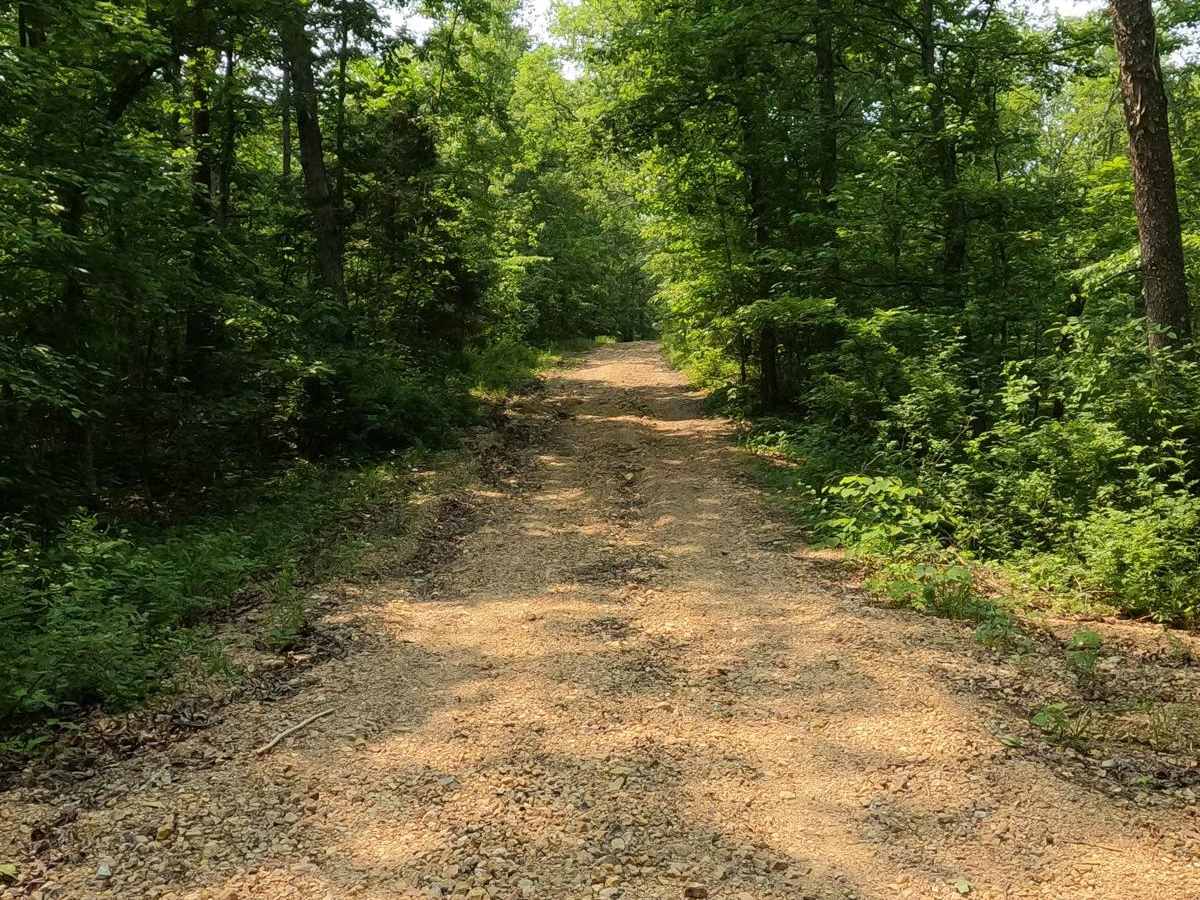
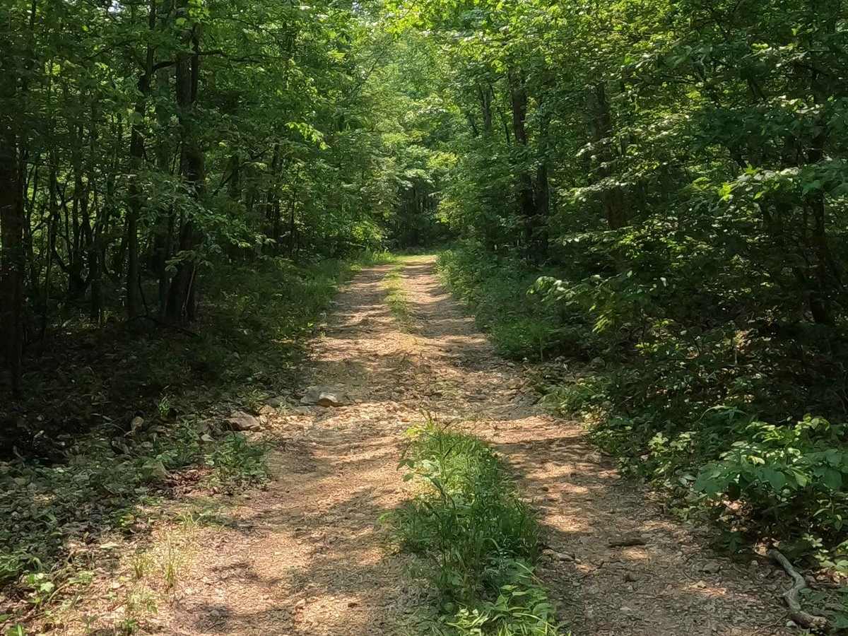
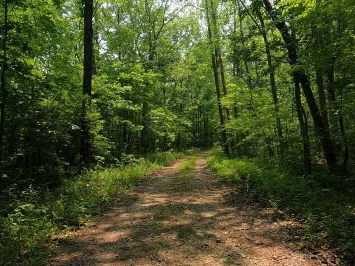
Trail Overview
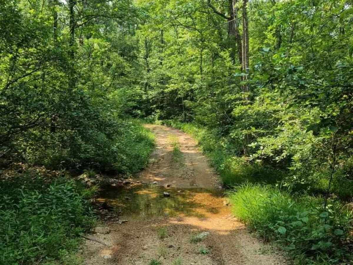
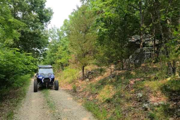
Matthews Mountain FSR 2137 is a forestry road that goes through the bottoms and hills near Central, MO, in the Fredericktown sector of Mark Twain National Forest. The road is classified as a gravel forestry road, but it definitely leans towards a natural surface road the deeper traveled into it. The road goes down a mild grade and mild water eroded hill that goes into the bottoms where it crosses a couple of feeder branch creeks, which eventually lead to Cedar Branch Creek. In the Bottoms, you can also find Cox Spring, a local spot where natural water pushes to the top and feeds into the feeder creek. The Road then climbs up a moderate grade over a natural rock section of the trail, featuring water-eroded ruts to boot, lastly the trail rides the ridge top of a mostly gravel faded-to-dirt road to the trail end and turns around. A great entry-level road to get a day of exploration in the area warmed up.
Difficulty
The difficult parts of the trail is the two water crossings, three if you go to Cox Spring, being a foot deep on an average day with the natural loose rock at bottom, but they are short and a little momentum will make most 4X4 vehicles go right through, if rain is in the area they could become a little more hazardous, but would only elevate the difficulty slightly due to being feeder creeks, and not the main creek itself. The next notable difficulty is the hill climb over the natural scattered softball sized loose rock, and the hill has decent water eroded ruts going to the top, using judgement to get to the top is needed, tire placement is the difference of it going smooth or tires spinning. All this said, the road is given a 3/10, due to exposure to a few small water crossings with loose rock at the bottom, and the main hill climb with similar loose rock and ruts to boot, if you choose to do the Cox Spring off shoot, I would bump this to a 4/10 the one creek crossing it has, features a more significant drop off and subtle off camber exit. The difficulty also increases if the area has heavily wet conditions.