
Beginner Off-Road Trails
Near Fortuna Foothills, Arizona
Explore All Beginner Trails Near Fortuna Foothills, Arizona
Beginner Off-Road Trails Near Fortuna Foothills, Arizona
Discover the best beginner-friendly off-road trails near you. These easier, lower-rated trails are a great place to start — browse trail maps, check difficulty ratings, and find your next adventure.
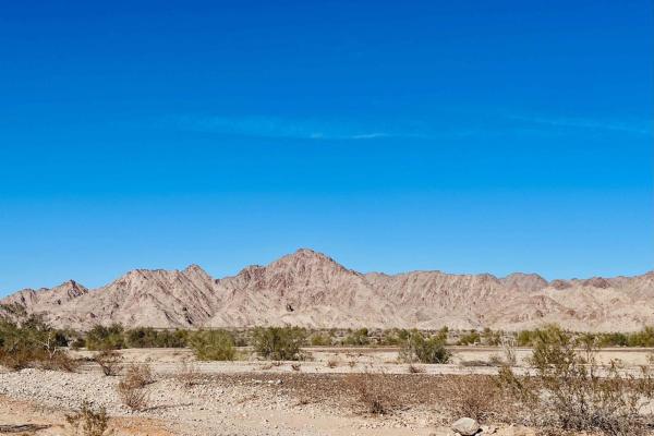
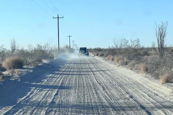
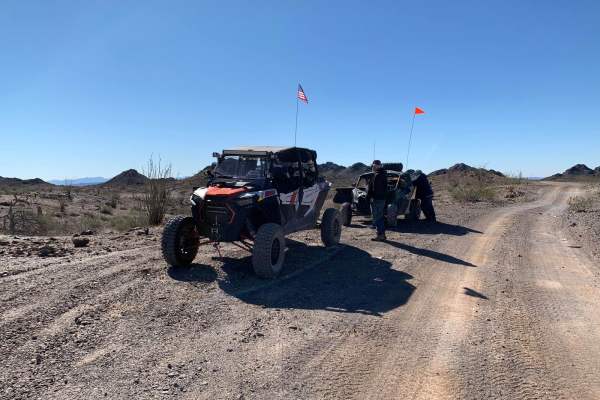
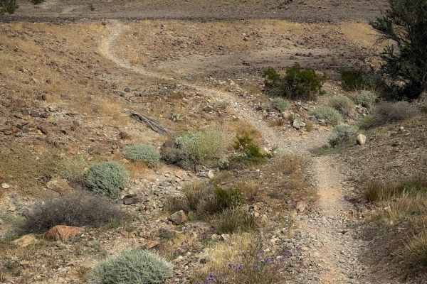
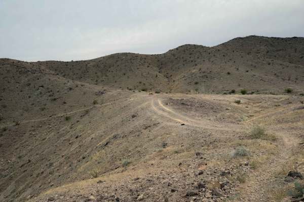
BLM Access Route
This bumpy route leads from the primary residential and RV park area in NE Yuma. Out to the open BLM playground. There's a ton to do out here, from easy to challenging trails, rock, sand, and hill climbs. There's a large established informal shooting area with plenty of Bermed hills to work with in ...
Learn more about BLM Access Route

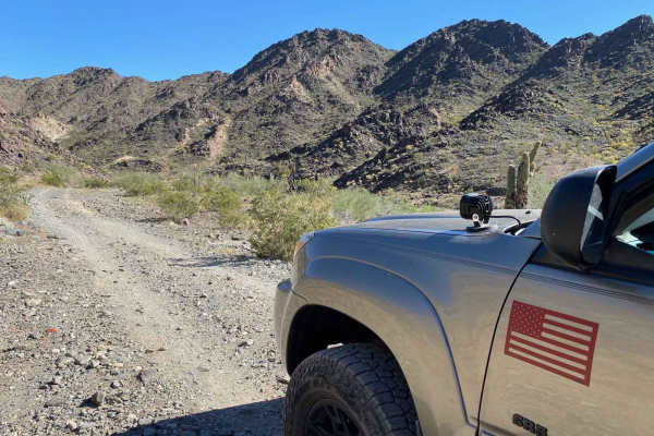
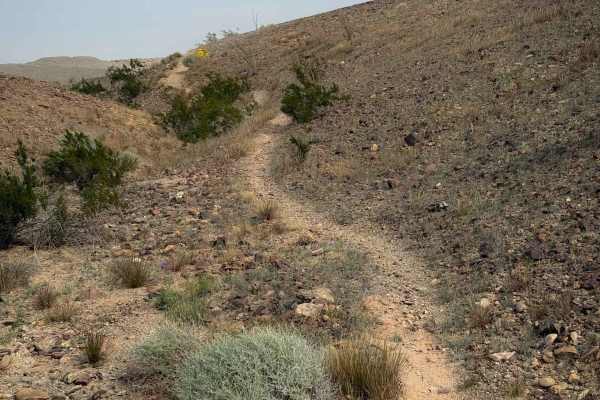
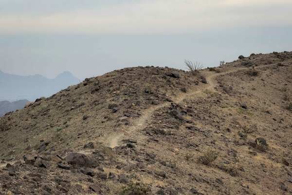
Jesters Trailhead
This trail is an excellent access point up into the hills and the network of trails in the area. It's a popular hiking area with dogs, so be on the lookout for furry friends running around. There are quite a few options to get into the hills, and one should use caution with some selections. They hav...
Learn more about Jesters Trailhead
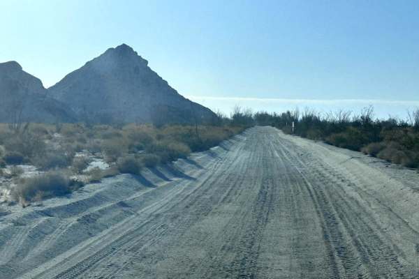
Foothills Boulevard
Foothills Boulevard is a 6.1-mile point-to-point trail that is a dirt road extension of the paved Fortuna Foothills Boulevard. This trail is within the Barry M Goldwater Range and requires a permit to travel on. The trail does continue after the 6 miles but is off-limits to the public. This is Feder...
Learn more about Foothills Boulevard
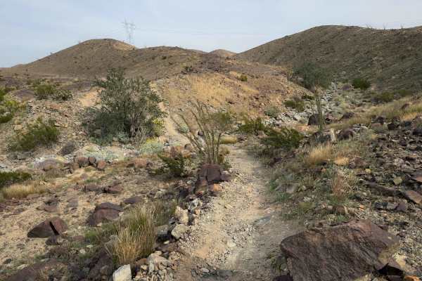
El Camino Del Diablo (Stage 1)
El Camino Del Diablo (Stage 1) is a trail that is breathtaking in its own way. This trail has a rocky terrain;airing down is recommended but not required. (This is a good spot to air down: 32.62699, -114.37540.) The total distance of the trail is 6.29 miles. At the end of this trail is a good spot t...
Learn more about El Camino Del Diablo (Stage 1)
AZ Peace Trail The Fields To The Abandoned Bus Stop
This easy section of the Arizona Peace Trail is a unique sight along the route. It starts in the fields and canals and crosses the highway as it cuts through the large concrete and gravel plant. Once there, you drive between a large irrigation canal and the active train tracks. This route offers sup...
Learn more about AZ Peace Trail The Fields To The Abandoned Bus Stop
US 95 to Muggins Mountain Trails access Route
This is an easy access route from US 95 to the 3 Muggins Mountain Trails: Muggins Mountain West, Muggins Mountain Mid West, and Muggins Mountain East. This trek, if not previously mapped out, can be confusing and time-consuming as some of the supposedly "through roads" can be flooded and impassible ...
Learn more about US 95 to Muggins Mountain Trails access Route
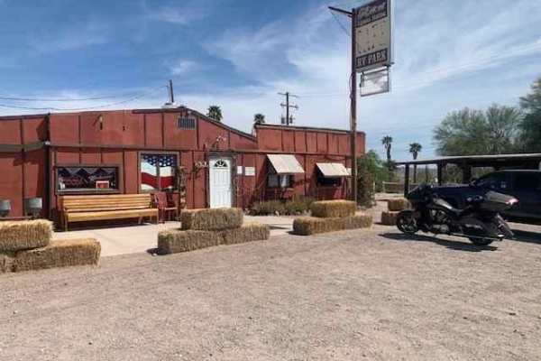
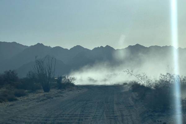
Wellton to Ligurta Offroad Spur
This is an offroad spur between Wellton and Ligurta, Arizona, and has a popular roadside restaurant/watering hole. It's the perfect place to stop by for great food and refreshments. Popular to off-roaders, the menu includes burgers and fries, all types of deli sandwiches, breakfast fare, all types o...
Learn more about Wellton to Ligurta Offroad Spur
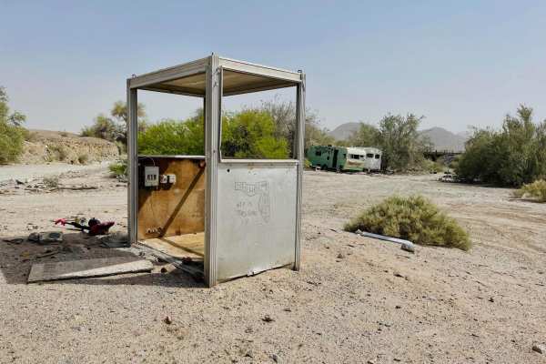
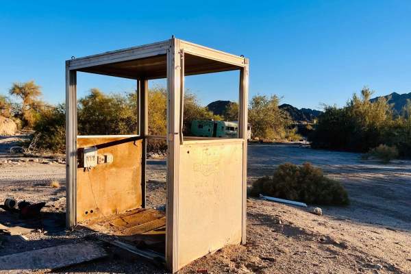
AZ Peace Trail Ligurta Spur to Abandoned Bus Stop
This easy section of the Arizona Peace Trail runs between the abandoned ghost town of Dome and the sometimes open town of Ligurta. Dome is an odd place but also an intriguing stop along the AZPT. A unique aspect of this tiny ghost town is the abandoned bus stop. While walking around, take a peek at ...
Learn more about AZ Peace Trail Ligurta Spur to Abandoned Bus Stop
Flynnagain
Flynnagain is a fun 1.5-mile-long singletrack on the southern portion of the Laguna Hills trail system. The north entrance is marked with the name of the trail, and it rides across a barren hilltop full of dark colored, packed loose rocks. The trail is worn into the rocks, but there are also rock st...
Learn more about Flynnagain
Backyard
Backyard is a short dirt bike trail that connects Bart to Bird Pole. It’s about a half mile long, and follows a narrow single track across the base of rolling desert hills, on a smooth surface of packed small loose rocks, dipping into small ravines as it flows over the rolling hills. Watch out for s...
Learn more about Backyard
Bart
Bart is a fun desert singletrack meandering between the base of small desert hills, side-hilling along the edge, and across the tops of the low hills. It is a narrow path on a packed, loose rock surface that is easy to follow. It crosses over little spines and dips through little washes. The trail i...
Learn more about Bart
Johnnie Walker
Johnnie Walker is a fun singletrack through the Laguna hills that has a mix of side-hilling, spine riding, and rocky washes. It descends gradually from east to west, dropping almost 300 feet in elevation over 1.7 miles, as it descends from the hilltops to the valley below. On the hilltops, it’s a ve...
Learn more about Johnnie Walker
Ryan's
Ryan’s Trail is a fun dirt bike trail across the Laguna Hills that is mostly fast and flowy, and ideal for riders of all skill levels. It follows a narrow singletrack across small rolling hills, on a packed surface of loose rocks and dirt, with frequent dips into small ravines and wash crossings. Th...
Learn more about Ryan's
Champagne
Champagne is a short trail through the Laguna Hills that continues southeast after the Picnic Table Trail. The trail is almost a mile long, and overall gains a hundred feet of elevation as it rides along the ridge line on these flowing desert mountains. It constantly goes up and down small hills on ...
Learn more about Champagne
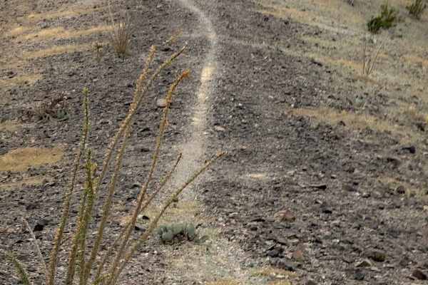
Moon Rocks
This trail is accessed halfway through Ryan’s and connects out to another dirt road. It follows the spine of a hill as a narrow single track, side-hilling on the edge of the hill, riding past big ocotillo cacti. It makes some sharp corners and crosses little ravines, sometimes with a sharp dip in an...
Learn more about Moon Rocks
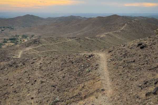
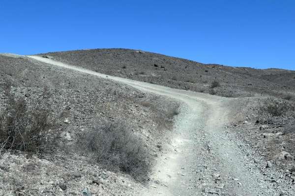
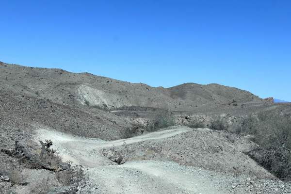
A4 to A6 (Fortuna Block)
This short 3.7-mile point-to-point trail is part of the Fortuna Block public trails. This trail system has several intersection points and the trails are named by the beginning and ending intersection points. This trail is a heavy washboarded trail and can be uncomfortable to travel with a solid axl...
Learn more about A4 to A6 (Fortuna Block)
Ryan's Trail
Ryan's Trail is a 2.2 mile point to point trail within the Laguna Hills area. This trail turns off of the Laguna Ridge Trail and drops down into a wash crosses the Laguna Ridge trail and then connects to LCR1827. There are several memorials placed along this trail, Including the memorial for Ryan.
Learn more about Ryan's Trail
Picnic Table
This is a fun single track through the Laguna Hills that takes you to a picnic table with a scenic view of the surrounding mountains. From the west end, the trail drops down from a road on the ridge, continues as a narrow trail that side-hills along the mountainside through a barren desert terrain. ...
Learn more about Picnic Table
A6 to A10 (Fortuna Block)
The A6 to A10 trail is a 13.3-mile point-to-point trail is part of the El Camino Del Diablo trail. This portion of the trail is a single-vehicle trail with heavy washboarding. This is Federal Military land, do not travel off of the approved trails. To obtain permits go to https://bmgr.recaccess.com....
Learn more about A6 to A10 (Fortuna Block)
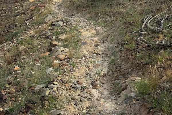
LCR1827
LCR 1827 is a 4.1 mile out and back trail that starts off the Laguna Ridge trail and ends at Gila Gravity Main Canal. This is a great side trip to have lunch at the Gila Gravity Main Canal. The trail starts on the ridge line and quickly drops down into a wash. This trail has erosion damage up to 12 ...
Learn more about LCR1827
Beginner ATV trails near Fortuna Foothills, Arizona
Explore ATV-friendly trails near you. These trails are accessible for vehicles up to 50 inches wide, perfect for ATVs and smaller off-road machines.
BLM Access Route
This bumpy route leads from the primary residential and RV park area in NE Yuma. Out to the open BLM playground. There's a ton to do out here, from easy to challenging trails, rock, sand, and hill climbs. There's a large established informal shooting area with plenty of Bermed hills to work with in ...
Learn more about BLM Access Route
Jesters Trailhead
This trail is an excellent access point up into the hills and the network of trails in the area. It's a popular hiking area with dogs, so be on the lookout for furry friends running around. There are quite a few options to get into the hills, and one should use caution with some selections. They hav...
Learn more about Jesters Trailhead
Foothills Boulevard
Foothills Boulevard is a 6.1-mile point-to-point trail that is a dirt road extension of the paved Fortuna Foothills Boulevard. This trail is within the Barry M Goldwater Range and requires a permit to travel on. The trail does continue after the 6 miles but is off-limits to the public. This is Feder...
Learn more about Foothills Boulevard
El Camino Del Diablo (Stage 1)
El Camino Del Diablo (Stage 1) is a trail that is breathtaking in its own way. This trail has a rocky terrain;airing down is recommended but not required. (This is a good spot to air down: 32.62699, -114.37540.) The total distance of the trail is 6.29 miles. At the end of this trail is a good spot t...
Learn more about El Camino Del Diablo (Stage 1)
Beginner UTV/side-by-side trails near Fortuna Foothills, Arizona
Find UTV and side-by-side trails near you. These trails accommodate vehicles up to 60 inches wide, ideal for UTVs, side-by-sides, and wider off-road rigs.
BLM Access Route
This bumpy route leads from the primary residential and RV park area in NE Yuma. Out to the open BLM playground. There's a ton to do out here, from easy to challenging trails, rock, sand, and hill climbs. There's a large established informal shooting area with plenty of Bermed hills to work with in ...
Learn more about BLM Access Route
Jesters Trailhead
This trail is an excellent access point up into the hills and the network of trails in the area. It's a popular hiking area with dogs, so be on the lookout for furry friends running around. There are quite a few options to get into the hills, and one should use caution with some selections. They hav...
Learn more about Jesters Trailhead
Foothills Boulevard
Foothills Boulevard is a 6.1-mile point-to-point trail that is a dirt road extension of the paved Fortuna Foothills Boulevard. This trail is within the Barry M Goldwater Range and requires a permit to travel on. The trail does continue after the 6 miles but is off-limits to the public. This is Feder...
Learn more about Foothills Boulevard
El Camino Del Diablo (Stage 1)
El Camino Del Diablo (Stage 1) is a trail that is breathtaking in its own way. This trail has a rocky terrain;airing down is recommended but not required. (This is a good spot to air down: 32.62699, -114.37540.) The total distance of the trail is 6.29 miles. At the end of this trail is a good spot t...
Learn more about El Camino Del Diablo (Stage 1)
The onX Offroad Difference
onX Offroad combines trail photos, descriptions, difficulty ratings, width restrictions, seasonality, and more in a user-friendly interface. Available on all devices, with offline access and full compatibility with CarPlay and Android Auto. Discover what you're missing today!
Open Trail Map