
Beginner Off-Road Trails
Near Fort Deposit, Alabama
Explore All Beginner Trails Near Fort Deposit, Alabama
Beginner Off-Road Trails Near Fort Deposit, Alabama
Discover the best beginner-friendly off-road trails near you. These easier, lower-rated trails are a great place to start — browse trail maps, check difficulty ratings, and find your next adventure.
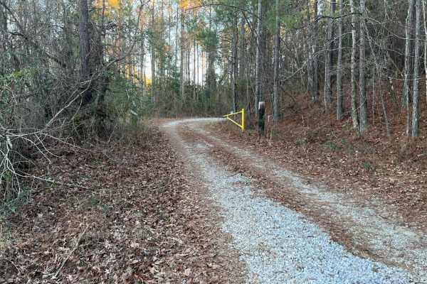
Lukes Loop
Easy mixed gravel and dirt road open year-round that runs through a wildlife management area located near Prattville. Expect some mud during the wet season but nothing too bad. Some small elevation changes and small rutted areas. Abundant wildlife and seasonal trails branch off of the main trail. Se...
Learn more about Lukes Loop
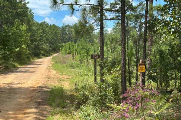
Perry Mountain Road FS426 Part 1
FS 426, locally known as Perry Mountain Road, is an easy dirt/gravel track through the Talladega National Forest. There is an old fire tower overlooking the area. There are also a few other tracks that break off of Perry Mountain Road. Some of these are seasonal. Overall, the trail is well-maintaine...
Learn more about Perry Mountain Road FS426 Part 1
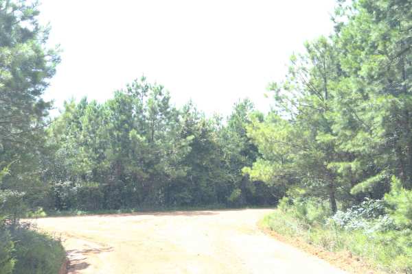
Dixie Road - FS 421
FS 421 is located in the Talladega National Forest; it is a maintained forest service road. Occasionally, it has washouts and trees down on the road. Most vehicles will make it with no problem; it does have a few sandy spots. It's a nice, quiet ride with the potential to see wildlife.
Learn more about Dixie Road - FS 421
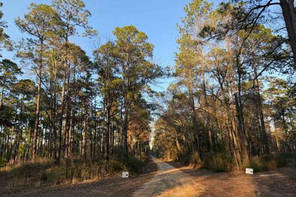
Hogfoot Road - FS 332
This scenic route winds through towering pines on a smooth, well-maintained road, making for a relaxing drive through Conecuh National Forest. Along the way, you'll cross two picturesque bridges, adding to the charm of this peaceful forest trail. Ideal for all vehicle types, this road provides easy ...
Learn more about Hogfoot Road - FS 332
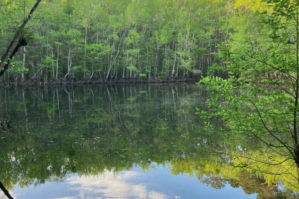
Loop Road - FS 335
Loop Road offers a scenic and relaxed ride, making it a great option for those looking to enjoy the natural surroundings. Drivers can expect small ruts and loose gravel on steeper grades, so caution should be advised if traveling this route in rainy weather. Overall, the terrain is straightforward a...
Learn more about Loop Road - FS 335
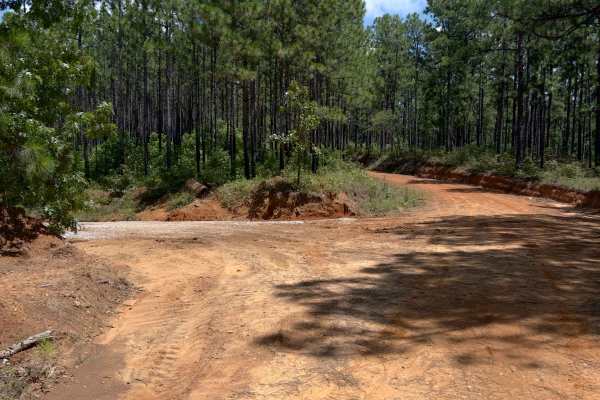
O'Neal - FS 418
Oneal, also known as FS 418 is a forest service road in the Talladega National Forest. It does get some serious washes at times. The forest service was out making repairs and installing water drainage culverts while we were there. A fun little road turning up thru the hills. Look out for washes, rut...
Learn more about O'Neal - FS 418
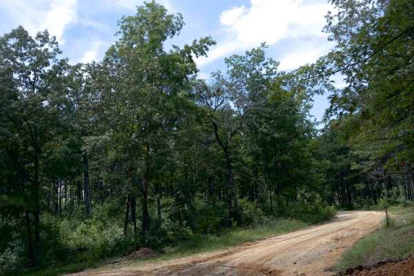
Maddox Cut - FS 418a
Maddox Cut is a relatively well-maintained forest service road in the Talladega National Forest. It does get muddy and rutted out during the wet season, but still nothing a car can't handle. Log trucks could enter road, so be cautious of them. Overall, this trail is a nice, quiet little drive throug...
Learn more about Maddox Cut - FS 418a
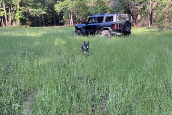
Turkey Trot - FS 351
Turkey Trot - FS 351 is a fairly well-maintained forest service road that runs along the eastern edge of Five Runs Creek. The terrain is mostly flat and sandy, typical of many forest service roads in the region. You’ll encounter occasional burn scars along the route, which can become slick and muddy...
Learn more about Turkey Trot - FS 351
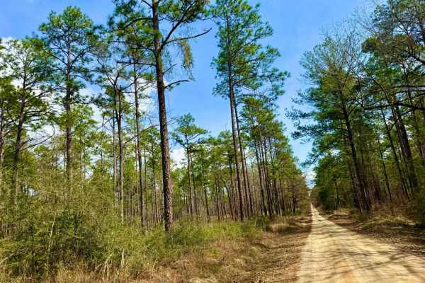
Grab mill Rd/ XC Rd FS 305
This main thoroughfare is the longest continual road in Conecuh National Forest, offering easy access to the rest of the forest. The route features scenic views of pine stands, occasional burned scars, and five water crossings. The road is generally well-maintained but can be slick and muddy in spot...
Learn more about Grab mill Rd/ XC Rd FS 305
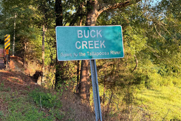
Buck Creek Road
Buck Creek Road is a short, easy backroad near Reeltown that travels through a quiet wooded area on a mix of red clay, dirt, and gravel. The route features rolling hills, minor erosion and ruts, and a single-lane wooden bridge crossing Buck Creek. Dispersed camping is available along the route, maki...
Learn more about Buck Creek Road
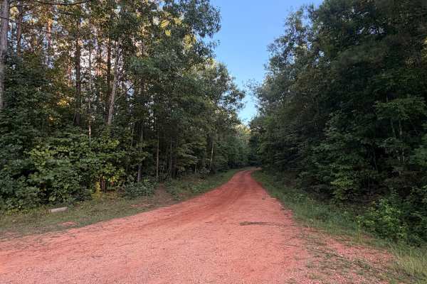
Turkey Trail
Turkey Trail is a dirt and red-clay backroad winding through the wooded countryside near Reeltown, Alabama. The route features rolling terrain, occasional ruts, small muddy sections, and a mix of hard-packed clay and gravel. Conditions are generally suitable for most vehicles when dry, although the ...
Learn more about Turkey Trail
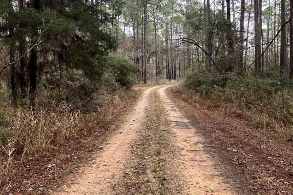
FS 337
FS 337 is a generally well-maintained forest service road running north–south through the heart of the Conecuh National Forest in southern Alabama. As one of the main thoroughfares through the forest, it offers scenic views of longleaf pine stands, open understory habitat, and abundant wildlife view...
Learn more about FS 337
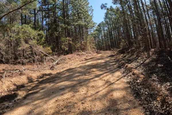
Maud Road - FS 423
FS 423 is a relatively short trail that crosses a portion of the Talladega National Forest near Centreville, Alabama. Highway 82 provides easy access from the north. Within the Talladega National Forest, camping is not truly dispersed; it must be done at a handful of designated primitive camping are...
Learn more about Maud Road - FS 423
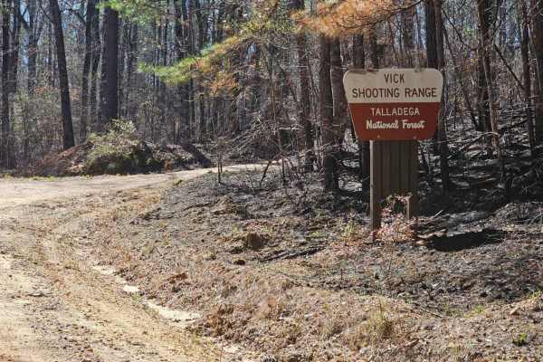
Vick Road - FS 412
FS 412 is a fairly short, well-maintained service road through the Talladega National Forest. Motor vehicle use in the Talladega National Forest is limited to street-legal “plated” vehicles. One of the interesting things about this trail is that it provides access to a public shooting range and also...
Learn more about Vick Road - FS 412

Miller Creek Road - FS 311
This main thoroughfare through Conecuh National Forest is a typical forest service road, mostly smooth with a few slick and muddy spots after rain. It features five water crossings, passing through tall pine stands and offering scenic views along the way. The route is generally straightforward, maki...
Learn more about Miller Creek Road - FS 311

Boggy Hollow Road - FS 374
Boggy Hollow Road winds through the Conecuh National Forest, connecting Alabama County Road 4 to the State Line Road in Florida. This mostly pine needle twin track is a mix of sand, packed sand, and some muddy spots. There are various spurs along this relaxing route offering a chance to venture deep...
Learn more about Boggy Hollow Road - FS 374
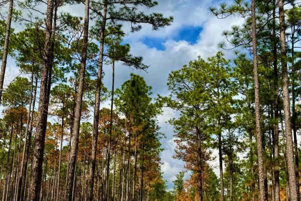
Alafora Road
This well-traveled, two-lane forest service road serves as the main thoroughfare through Conecuh National Forest. Cutting through towering pine stands and diverse woodland terrain, it provides a scenic and accessible route with five water crossings along the way. The road is generally well-maintaine...
Learn more about Alafora Road
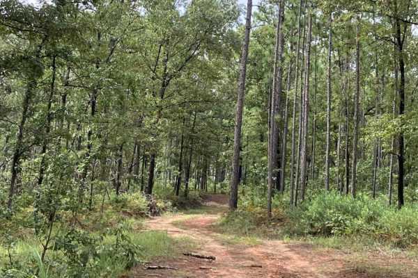
S102
S102 is a narrow, lightly traveled out-and-back trail accessed from Bracken Road, ending at private property along the Alabama state line. The route winds through towering mixed pine forests and offers an enjoyable ride without being overly technical. A narrow, older bridge crosses the creek and can...
Learn more about S102
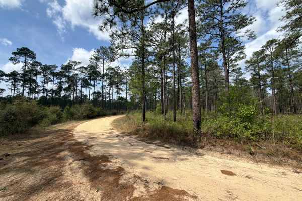
Bracken Road
Bracken Road connects Run for the Border at the west end and Beaver Creek Road at the east end. It is a 3-mile trail that takes you through the northeast part of the Blackwater River State Forest and gives you access to several OHV and off-road trails. The road conditions are a mixture of packed san...
Learn more about Bracken Road
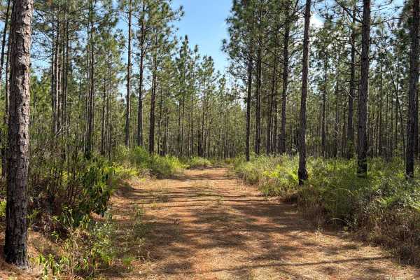
R 17
Blackwater River Forest Road R 17 is a loop that starts and ends at the Mashourn Forks Road. It is a short trail that takes you through the north east part of the Blackwater River State Forest along the west side of the Blackwater River and gives you access to a few hiking trails to the river. The r...
Learn more about R 17
Beginner ATV trails near Fort Deposit, Alabama
Explore ATV-friendly trails near you. These trails are accessible for vehicles up to 50 inches wide, perfect for ATVs and smaller off-road machines.
Hogfoot Road - FS 332
This scenic route winds through towering pines on a smooth, well-maintained road, making for a relaxing drive through Conecuh National Forest. Along the way, you'll cross two picturesque bridges, adding to the charm of this peaceful forest trail. Ideal for all vehicle types, this road provides easy ...
Learn more about Hogfoot Road - FS 332
Grab mill Rd/ XC Rd FS 305
This main thoroughfare is the longest continual road in Conecuh National Forest, offering easy access to the rest of the forest. The route features scenic views of pine stands, occasional burned scars, and five water crossings. The road is generally well-maintained but can be slick and muddy in spot...
Learn more about Grab mill Rd/ XC Rd FS 305
Buck Creek Road
Buck Creek Road is a short, easy backroad near Reeltown that travels through a quiet wooded area on a mix of red clay, dirt, and gravel. The route features rolling hills, minor erosion and ruts, and a single-lane wooden bridge crossing Buck Creek. Dispersed camping is available along the route, maki...
Learn more about Buck Creek Road
Turkey Trail
Turkey Trail is a dirt and red-clay backroad winding through the wooded countryside near Reeltown, Alabama. The route features rolling terrain, occasional ruts, small muddy sections, and a mix of hard-packed clay and gravel. Conditions are generally suitable for most vehicles when dry, although the ...
Learn more about Turkey Trail
Beginner UTV/side-by-side trails near Fort Deposit, Alabama
Find UTV and side-by-side trails near you. These trails accommodate vehicles up to 60 inches wide, ideal for UTVs, side-by-sides, and wider off-road rigs.
Hogfoot Road - FS 332
This scenic route winds through towering pines on a smooth, well-maintained road, making for a relaxing drive through Conecuh National Forest. Along the way, you'll cross two picturesque bridges, adding to the charm of this peaceful forest trail. Ideal for all vehicle types, this road provides easy ...
Learn more about Hogfoot Road - FS 332
Grab mill Rd/ XC Rd FS 305
This main thoroughfare is the longest continual road in Conecuh National Forest, offering easy access to the rest of the forest. The route features scenic views of pine stands, occasional burned scars, and five water crossings. The road is generally well-maintained but can be slick and muddy in spot...
Learn more about Grab mill Rd/ XC Rd FS 305
Buck Creek Road
Buck Creek Road is a short, easy backroad near Reeltown that travels through a quiet wooded area on a mix of red clay, dirt, and gravel. The route features rolling hills, minor erosion and ruts, and a single-lane wooden bridge crossing Buck Creek. Dispersed camping is available along the route, maki...
Learn more about Buck Creek Road
Turkey Trail
Turkey Trail is a dirt and red-clay backroad winding through the wooded countryside near Reeltown, Alabama. The route features rolling terrain, occasional ruts, small muddy sections, and a mix of hard-packed clay and gravel. Conditions are generally suitable for most vehicles when dry, although the ...
Learn more about Turkey Trail
The onX Offroad Difference
onX Offroad combines trail photos, descriptions, difficulty ratings, width restrictions, seasonality, and more in a user-friendly interface. Available on all devices, with offline access and full compatibility with CarPlay and Android Auto. Discover what you're missing today!
Open Trail Map