
Beginner Off-Road Trails
Near Farmington, Delaware
Explore All Beginner Trails Near Farmington, Delaware
Beginner Off-Road Trails Near Farmington, Delaware
Discover the best beginner-friendly off-road trails near you. These easier, lower-rated trails are a great place to start — browse trail maps, check difficulty ratings, and find your next adventure.
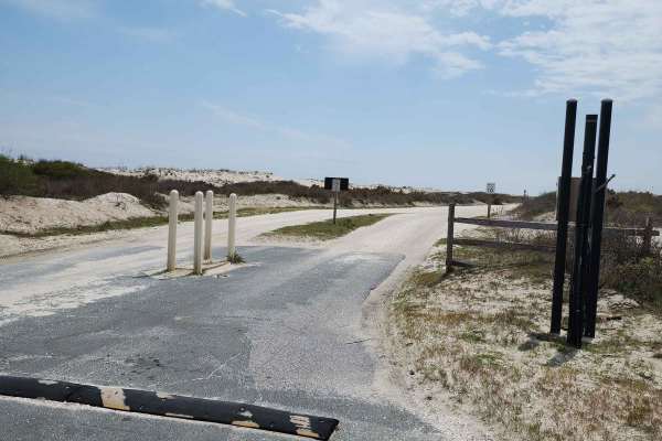
Assateague Island OSV
This is the full Assateague Island OSV route. This is a relaxing drive where you will get to see a beautiful beach, wild horses, and many other types of wildlife. Two offshoots provide a fun drive with some decent-sized puddles, a view of the bayside, and more wildlife. As you travel further down th...
Learn more about Assateague Island OSV
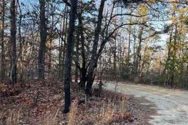
Make Peace Lake Road
Make Peace Lake Road runs through New Jersey Fish and Wildlife protected land. It primarily features a sandy and dirt surface with mud holes after rain. There is no risk of pinstriping, and most sections are wide enough for two vehicles. The road can be traversed with a high-clearance AWD or standar...
Learn more about Make Peace Lake Road
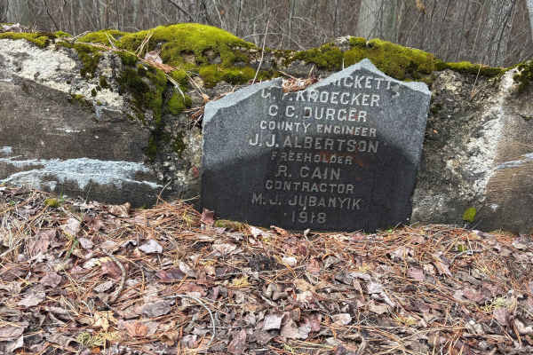
Sleepy Creek Trail
The trail was a mix of everything. There are some washed-out sections and a bunch of deep water puddles, so you’ll want to take your time picking lines. Ground conditions change a lot — some spots are hard-packed dirt, then it switches to loose sand, which can get a little tricky. We went out the da...
Learn more about Sleepy Creek Trail
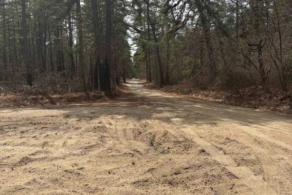
Dutch town to Burnt mill road
This one’s super easy and more about the scenery than anything else. The trail is mostly compacted sand, so it’s easy to drive on and doesn’t cause any trouble.
There are a few shallow water puddles here and there, but nothing deep or challenging. Honestly, you could get through this trail in a two...
Learn more about Dutch town to Burnt mill road
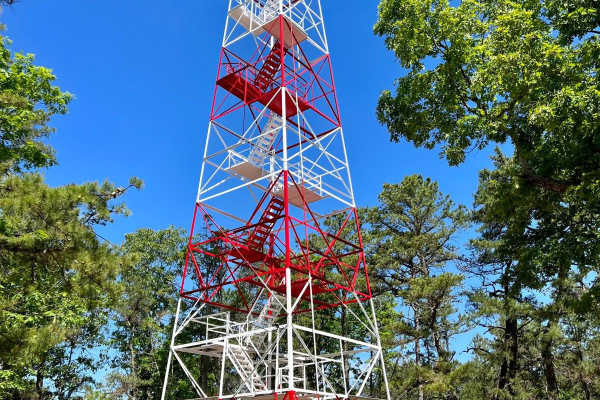
Batsto Fire Tower to Quaker Bridge
Typical Pine Barrens forest, though with fewer water features. The route can be run either north to south, Quaker Bridge to Batsto Fire Towner, or in reverse. The trail is uneven and depressions do collect water, though puddles here are generally less deep than other areas of Wharton State Forest. I...
Learn more about Batsto Fire Tower to Quaker Bridge
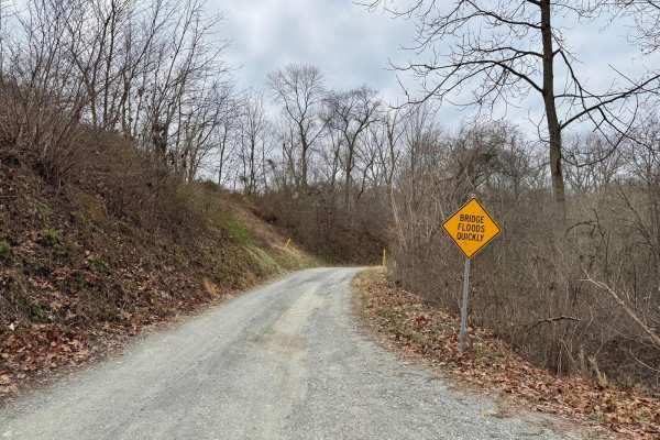
Fishing Creek to Hawk Point
This is generally an easy gravel trail that winds along and through Fishing Creek. It's about 1.5 vehicles wide, but there are numerous pull-outs to allow opposing traffic to pass. Remote and scenic. There are three water crossings that have a concrete slab bottom, but after significant rain, these ...
Learn more about Fishing Creek to Hawk Point
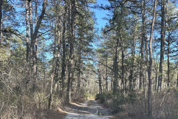
Battie Trail
The trail is a shortcut route between two larger roads. It is a flat trail just sand and gravel, with very slight grading, and can become narrow at times so be careful driving something wide through the trail. This is also one way with so be careful when driving down for oncoming traffic.
Learn more about Battie Trail
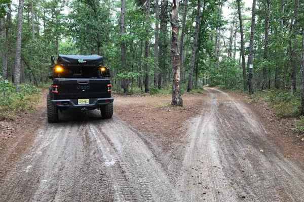
Middle Trail
This is a tight scenic trail, some whooped sections and low-hanging trees can make it easy to get some unwanted scratches. There is not a lot of room to let oncoming trail riders pass by. This Trail provides close access to both the Mullica River and the Batsto River.
Learn more about Middle Trail
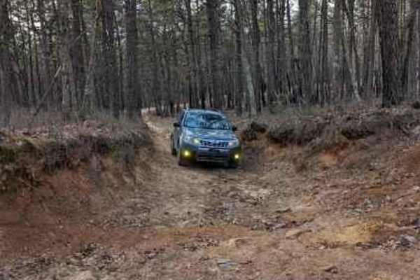
Lee's Trail
Enter in off of Washington Turnpike. The trail starts off with two heavy rutted dips, although there are side routes to avoid them. The rest of the trail you will encounter more of them along with some mellow whoops. The trail ends off of Penn Swamp Road. This area will also flood with rain so be ca...
Learn more about Lee's Trail
Beginner ATV trails near Farmington, Delaware
Explore ATV-friendly trails near you. These trails are accessible for vehicles up to 50 inches wide, perfect for ATVs and smaller off-road machines.
Battie Trail
The trail is a shortcut route between two larger roads. It is a flat trail just sand and gravel, with very slight grading, and can become narrow at times so be careful driving something wide through the trail. This is also one way with so be careful when driving down for oncoming traffic.
Learn more about Battie Trail
Middle Trail
This is a tight scenic trail, some whooped sections and low-hanging trees can make it easy to get some unwanted scratches. There is not a lot of room to let oncoming trail riders pass by. This Trail provides close access to both the Mullica River and the Batsto River.
Learn more about Middle Trail
Lee's Trail
Enter in off of Washington Turnpike. The trail starts off with two heavy rutted dips, although there are side routes to avoid them. The rest of the trail you will encounter more of them along with some mellow whoops. The trail ends off of Penn Swamp Road. This area will also flood with rain so be ca...
Learn more about Lee's Trail
Beginner UTV/side-by-side trails near Farmington, Delaware
Find UTV and side-by-side trails near you. These trails accommodate vehicles up to 60 inches wide, ideal for UTVs, side-by-sides, and wider off-road rigs.
Sleepy Creek Trail
The trail was a mix of everything. There are some washed-out sections and a bunch of deep water puddles, so you’ll want to take your time picking lines. Ground conditions change a lot — some spots are hard-packed dirt, then it switches to loose sand, which can get a little tricky. We went out the da...
Learn more about Sleepy Creek Trail
Dutch town to Burnt mill road
This one’s super easy and more about the scenery than anything else. The trail is mostly compacted sand, so it’s easy to drive on and doesn’t cause any trouble.
There are a few shallow water puddles here and there, but nothing deep or challenging. Honestly, you could get through this trail in a two...
Learn more about Dutch town to Burnt mill road
Battie Trail
The trail is a shortcut route between two larger roads. It is a flat trail just sand and gravel, with very slight grading, and can become narrow at times so be careful driving something wide through the trail. This is also one way with so be careful when driving down for oncoming traffic.
Learn more about Battie Trail
Middle Trail
This is a tight scenic trail, some whooped sections and low-hanging trees can make it easy to get some unwanted scratches. There is not a lot of room to let oncoming trail riders pass by. This Trail provides close access to both the Mullica River and the Batsto River.
Learn more about Middle Trail
The onX Offroad Difference
onX Offroad combines trail photos, descriptions, difficulty ratings, width restrictions, seasonality, and more in a user-friendly interface. Available on all devices, with offline access and full compatibility with CarPlay and Android Auto. Discover what you're missing today!
Open Trail Map