
Beginner Off-Road Trails
Near Elkton, Kentucky
Explore All Beginner Trails Near Elkton, Kentucky
Beginner Off-Road Trails Near Elkton, Kentucky
Discover the best beginner-friendly off-road trails near you. These easier, lower-rated trails are a great place to start — browse trail maps, check difficulty ratings, and find your next adventure.
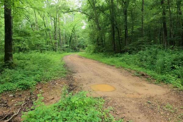
Crutcher Hollow Road FS 213
Crutcher Hollow Road FS 213 is a gravel forestry road through the southern Tennessee section, centrally located off the Woodlands Trace National Scenic Byway headed east to Lake Barkley, of Land Between the Lake National Recreation Area. The road starts just south of the Great Western Furnace, headi...
Learn more about Crutcher Hollow Road FS 213
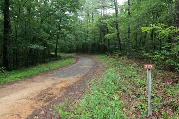
Gatlin Point North FSR 228
Gatlin Point North FSR 228 is a gravel forestry road through the southeast corner of the southern Tennessee section, Lake Barkley side, of the Land Between the Lake National Recreation Area. This road features small rolling hills cutting through the treelines leading down mild rutted grades into the...
Learn more about Gatlin Point North FSR 228
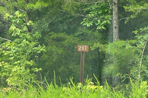
FS - 201
FS 201 is a simple, maintained dirt road split by the KY/TN border within Land Between the Lakes. It is accessed by either the Woodlands Race National Scenic Byway or FS-174. It is an easy drive for any vehicle. Nearby is the Southern Bison Range within LBL, so when coming from the byway you may see...
Learn more about FS - 201
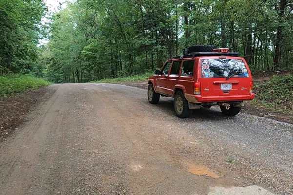
Gatlin Point South FSR 227
Gatlin Point South FSR 227 is a gravel forestry road through the southeast corner of the southern Tennessee section, Lake Barkley side, of the Land Between the Lake National Recreation Area. This road features small rolling hills and beautiful treelines, with minimal water collection spots on the ro...
Learn more about Gatlin Point South FSR 227
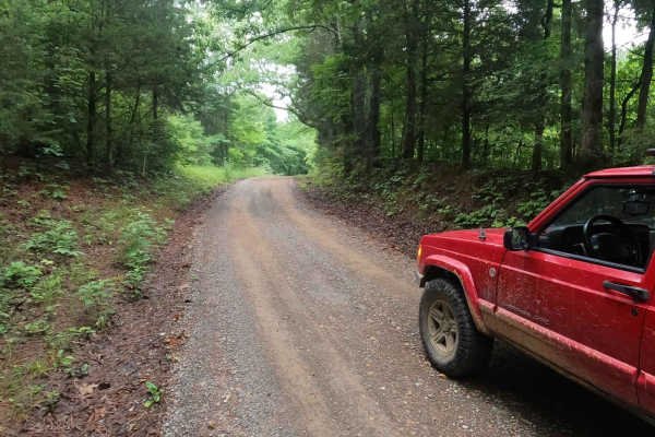
Bear Creek Road FSR 229
Bear Creek Road FSR 229 is a gravel forestry road through the southeast corner of the southern Tennessee section, Lake Barkley side, of the Land Between the Lake National Recreation Area. This road is made up of small hills leading to the generally flat bottoms near Bards Lake and crosses over the B...
Learn more about Bear Creek Road FSR 229
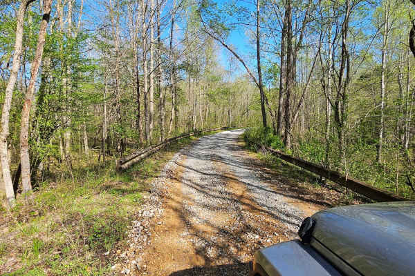
Neville Bay Road 214
This trail is part of the Land Between the Lakes Forestry Road System. It starts its southern leg at Woodlands Trace National Scenic Byway (also known as The Trace), heads east along the northern shore of Neville Bay, and turns north to eventually connect with Linton Ferry Road. At the time of this ...
Learn more about Neville Bay Road 214
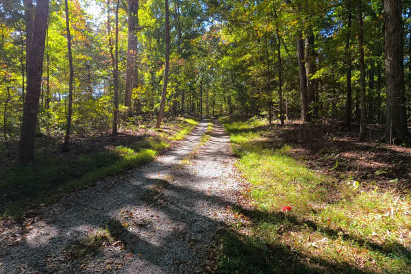
Spring Road - FS 155
Spring Road (FS 155) is a gravel transforming to natural-improved forest service road through the center-east Kentucky section, Lake Barkley side, of the Land Between the Lakes National Recreation Area. This route comes off from the Energy Lake Road (FS 134) heading east, then turning south to the n...
Learn more about Spring Road - FS 155
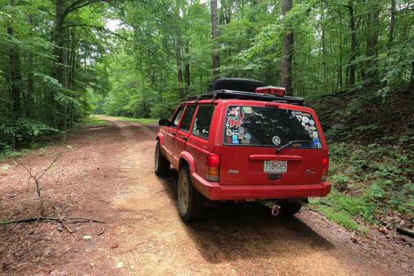
Fox Hollow Hill FSR 218
The Fox Hollow Hill FSR 218 is a gravel forestry road through the southern Tennessee section, Lake Barkley side, of Land Between the Lake National Recreation Area. This road features rolling hills and beautiful tree lines, with minimal water collection spots on the road surface and occasional mild s...
Learn more about Fox Hollow Hill FSR 218

Fox Hollow Bottoms FSR 219
The Fox Hollow Bottoms FSR 219 is a gravel forestry road through the southern Tennessee section, Lake Barkley side, of Land Between the Lake National Recreation Area. To differ from the other half of Fox Hollow, the Bottoms traverses alongside the feeder creeks that lead to the Fox Hollow bay area o...
Learn more about Fox Hollow Bottoms FSR 219

George Watson Road
George Watson Road takes you to to a primitive Boat Ramp on Lake Barkley. The trail is a gravel forestry road with some soft sand spots that can turn into mud holes after heavy rain. This trail is ususally a very easy road. The Land between the Lakes is an 170,000-acre inland peninsula. Approximatel...
Learn more about George Watson Road
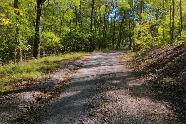
Shanklin Creek - FS 158
Shanklin Creek Road (FS 158) is a gravel forest service road through the center-east Kentucky section, Lake Barkley side, of the Land Between the Lakes National Recreation Area. The 158 comes off from the Energy Lake Road (FS 134) heading northeast, going to the southeast shorelines of the unnamed b...
Learn more about Shanklin Creek - FS 158
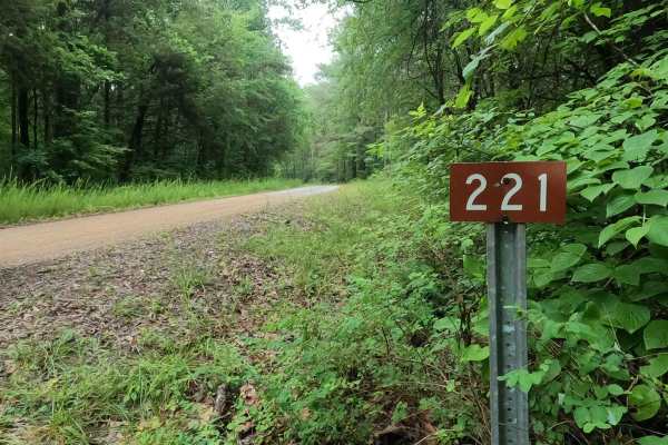
Tharpe Road FSR 221
Tharpe Road FSR 221 is a gravel forestry road through southern Tennessee, the center section of the peninsula, within the Land Between the Lakes National Recreation Area. It features a gently and well maintained gravel road going over rolling hills, from the Woodland Trace on the east side to the FS...
Learn more about Tharpe Road FSR 221
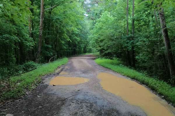
Tharpe Hollow - FS 384
The Tharpe Hollow / Whitford Cemetery Road FS 384, is a gravel and natural dirt forest service road through the southern Tennessee section, Lake Barkley side of Land Between the Lakes National Recreation Area. The road leads east off the Woodland Trace, at first giving the feeling it is a basic grav...
Learn more about Tharpe Hollow - FS 384
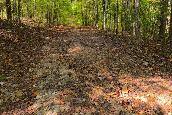
Cunningham Monument - FS 154A
Cunningham Monument (FS 154 Spur A) is a gravel forest service road through the center-east Kentucky section, Lake Barkley side, of the Land Between the Lakes National Recreation Area. This route, after leaving the FS 154, immediately goes down in elevation over a coarse gravel and dirt rutted hill,...
Learn more about Cunningham Monument - FS 154A
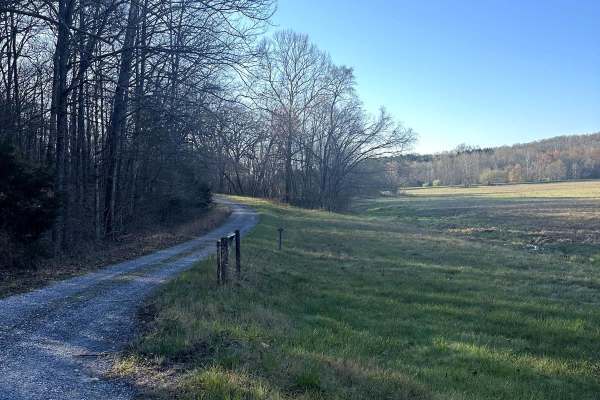
Long Creek Road
Long Creek Road takes you through the Long Creek Waterfowl Refuge. It is an easy gravel drive that will connect to Jenny Ridge Road if coming from Highway 68. The refuge has been around since 1989 and it is closed to the public from November 1st to March 15th for migration season.
Learn more about Long Creek Road
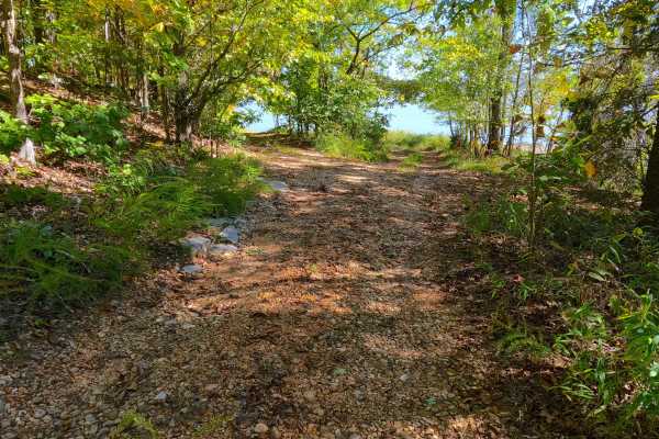
Wallace Road - FS 156
Wallace Road (FS 156) is a gravel transforming into a natural-improved forest service road through the center-east Kentucky section, Lake Barkley side, of the Land Between the Lakes National Recreation Area. This route comes off from the Energy Lake Road (FS 134) heading east, then turning south to ...
Learn more about Wallace Road - FS 156
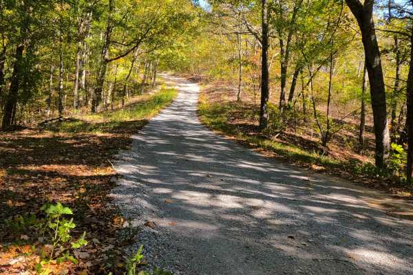
Bogard Road - FS 157
Bogard Road (FS 157) is a gravel forest service road through the center-east Kentucky section, Lake Barkley side, of the Land Between the Lakes National Recreation Area. This route comes off from the Energy Lake Road (FS 134) heading east to the shorelines of Lake Barkley just south of Pond Bay. The...
Learn more about Bogard Road - FS 157
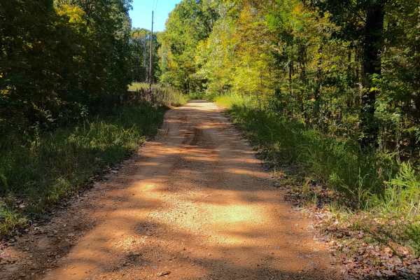
Shaw Branch - FS 154
Shaw Branch Road (FS 154) is a gravel forest service road through the center-east Kentucky section, Lake Barkley side, of the Land Between the Lakes National Recreation Area. This route takes off from the Energy Lake Road (FS 134) heading northeast to a peninsula tip surrounded by three named bodies...
Learn more about Shaw Branch - FS 154
Bald Knob Road - FS 152
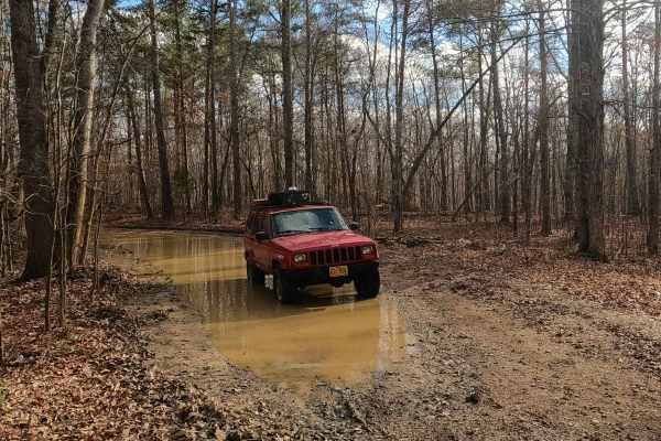
Bald Knob Road FS 152 is a natural forestry route through the center east Kentucky section, Lake Barkley side, of the Land Between the Lakes National Recreation Area. The route at its foundation is coarse natural gravel over a dirt base trail, featuring consistent up-and-down mild-graded hills with ...
Learn more about Bald Knob Road - FS 152
Lake Barkley Road
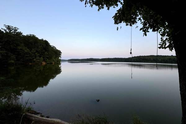
Lake Barkley Road takes you to a swimming spot with a little beach and a primitive Boat Ramp on Lake Barkley. The trail is a gravel forestry road with some soft sand spots that can turn into mud holes after heavy rain. This is usually a very easy road. The land between the Lakes is a 170,000-acre in...
Learn more about Lake Barkley Road
Beginner ATV trails near Elkton, Kentucky
Explore ATV-friendly trails near you. These trails are accessible for vehicles up to 50 inches wide, perfect for ATVs and smaller off-road machines.
FS - 201
FS 201 is a simple, maintained dirt road split by the KY/TN border within Land Between the Lakes. It is accessed by either the Woodlands Race National Scenic Byway or FS-174. It is an easy drive for any vehicle. Nearby is the Southern Bison Range within LBL, so when coming from the byway you may see...
Learn more about FS - 201
Neville Bay Road 214
This trail is part of the Land Between the Lakes Forestry Road System. It starts its southern leg at Woodlands Trace National Scenic Byway (also known as The Trace), heads east along the northern shore of Neville Bay, and turns north to eventually connect with Linton Ferry Road. At the time of this ...
Learn more about Neville Bay Road 214
George Watson Road
George Watson Road takes you to to a primitive Boat Ramp on Lake Barkley. The trail is a gravel forestry road with some soft sand spots that can turn into mud holes after heavy rain. This trail is ususally a very easy road. The Land between the Lakes is an 170,000-acre inland peninsula. Approximatel...
Learn more about George Watson Road
Lake Barkley Road
Lake Barkley Road takes you to a swimming spot with a little beach and a primitive Boat Ramp on Lake Barkley. The trail is a gravel forestry road with some soft sand spots that can turn into mud holes after heavy rain. This is usually a very easy road. The land between the Lakes is a 170,000-acre in...
Learn more about Lake Barkley Road
Beginner UTV/side-by-side trails near Elkton, Kentucky
Find UTV and side-by-side trails near you. These trails accommodate vehicles up to 60 inches wide, ideal for UTVs, side-by-sides, and wider off-road rigs.
FS - 201
FS 201 is a simple, maintained dirt road split by the KY/TN border within Land Between the Lakes. It is accessed by either the Woodlands Race National Scenic Byway or FS-174. It is an easy drive for any vehicle. Nearby is the Southern Bison Range within LBL, so when coming from the byway you may see...
Learn more about FS - 201
Neville Bay Road 214
This trail is part of the Land Between the Lakes Forestry Road System. It starts its southern leg at Woodlands Trace National Scenic Byway (also known as The Trace), heads east along the northern shore of Neville Bay, and turns north to eventually connect with Linton Ferry Road. At the time of this ...
Learn more about Neville Bay Road 214
George Watson Road
George Watson Road takes you to to a primitive Boat Ramp on Lake Barkley. The trail is a gravel forestry road with some soft sand spots that can turn into mud holes after heavy rain. This trail is ususally a very easy road. The Land between the Lakes is an 170,000-acre inland peninsula. Approximatel...
Learn more about George Watson Road
Lake Barkley Road
Lake Barkley Road takes you to a swimming spot with a little beach and a primitive Boat Ramp on Lake Barkley. The trail is a gravel forestry road with some soft sand spots that can turn into mud holes after heavy rain. This is usually a very easy road. The land between the Lakes is a 170,000-acre in...
Learn more about Lake Barkley Road
The onX Offroad Difference
onX Offroad combines trail photos, descriptions, difficulty ratings, width restrictions, seasonality, and more in a user-friendly interface. Available on all devices, with offline access and full compatibility with CarPlay and Android Auto. Discover what you're missing today!
Open Trail Map