
Beginner Off-Road Trails
Near East Berlin, Pennsylvania
Explore All Beginner Trails Near East Berlin, Pennsylvania
Beginner Off-Road Trails Near East Berlin, Pennsylvania
Discover the best beginner-friendly off-road trails near you. These easier, lower-rated trails are a great place to start — browse trail maps, check difficulty ratings, and find your next adventure.
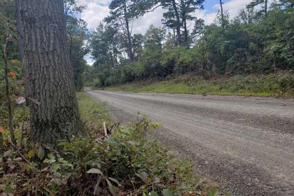
Michaux Ridge Road
Ridge Road is located in Michaux State Forest, Southeast of Shippensburg, Pennsylvania. This is a pleasant and peaceful road that tours the northern half of the forest and includes views of the south and the Pinnacle Mountains. The road does cross Highway 233, but remains 95% gravel. Cell service is...
Learn more about Michaux Ridge Road
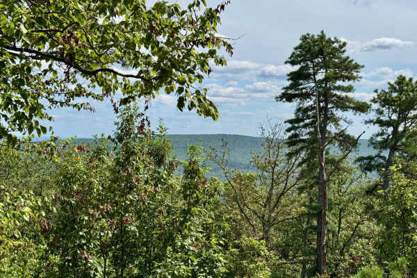
Ridge Road (North)
Ridge Road runs through much of Michaux State Forest. The northern end is known for its access to Hammond's Rocks and for being more challenging than most of the other forest roads here. Accessing Hammond's Rocks from the south is recommended unless you have high clearance, as north of there, the we...
Learn more about Ridge Road (North)
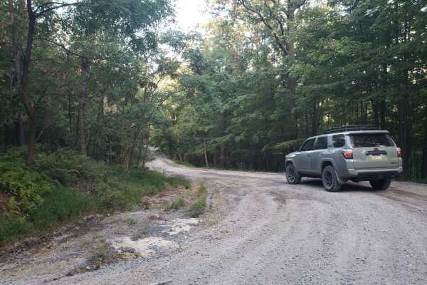
Dead Woman Hollow
This road is located in Michaux State Forest, Southeast of Shippensburg, Pennsylvania. The road's northern end contains the high point near Big Hill, then decreases in elevation until Dead Woman Hollow is reached. The famous Appalachian Trail crosses this road on the northern end. Just south of Tom'...
Learn more about Dead Woman Hollow
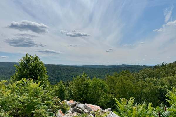
Hogshead Road
This forest road is probably best known for Buzzard Rocks Vista near its midpoint, which offers a nice view from the Sliding Rock Mountain across Hairy Springs Hollow to the west. The north end has about 500 feet of elevation change up from or down to the valley beyond the forest. The road itself is...
Learn more about Hogshead Road
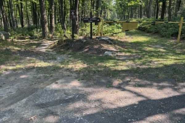
Big Pond Hollow
Big Pond Hollow Road is a gradual, overall gentle slope down the mountain. It is dirt and gravel the whole way through, with occasional rough spots from stormwater, but very easy to navigate. It offers some scenic views and overlooks and a few small, gentle streams for some great photos. There is on...
Learn more about Big Pond Hollow
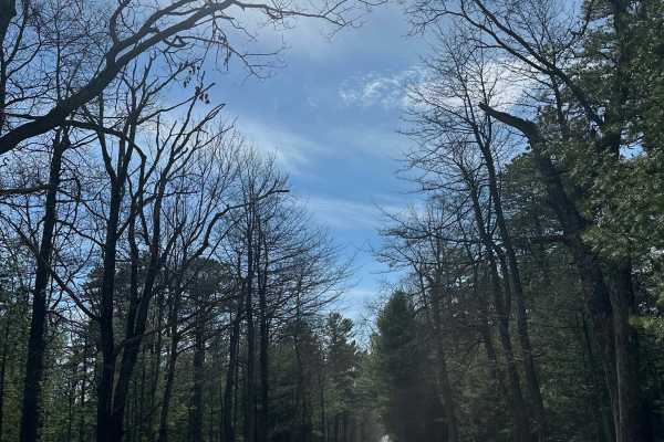
Ridge Central
This is an essential connecting route through Michaux State Forest. There are many options for outdoor activities, including hiking, mountain biking, and sightseeing on this road. The surrounding area has beautiful views, especially during spring and fall. There is one marked campsite on this route,...
Learn more about Ridge Central
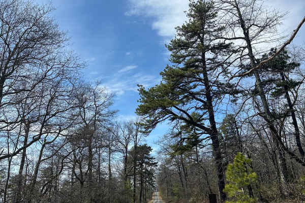
Thompson Hollow Road
This is a scenic route through Michaux State Forest, with nice views throughout. The road is mainly gravel with small rocks, mellow ruts, and some steep inclines/declines depending on which way you traverse the trail. 4WD is not required for this road, but if snow is present, it is recommended.
Learn more about Thompson Hollow Road
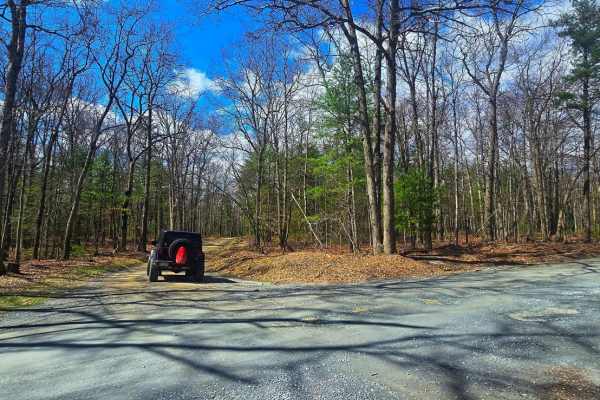
District Road
Meandering between Route 233 and Newman Road, District Road is a serene gravel forest byway through Michaux State Forest. Along the way, it provides prime access to the Carbaugh Reservoir, a tranquil fishing and wildlife-watching destination near the Carbaugh Run Natural Area, home to protected amph...
Learn more about District Road

Birch Run
Birch Run Road is located in Michaux State Forest, Southeast of Shippensburg, Pennsylvania. The road passes by beautiful scenery, such as Rocky Knob, East Big Flat Ridge, Ram, Strausbaugh, and Sierra Hills. This road connects Milesburg Road and Shippensburg Road. Birch Run has poor cell service, so ...
Learn more about Birch Run
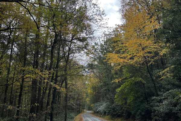
Milesburn Connector
This trail is a section of Milesburn Road connecting Stillhouse Hollow Road to Route 233. It passes along the Long Pine reservoir, as well as the Burch run trail. There are many hiking trail access points, as well as the Michaux shooting range just off Burch run. The trail is wide enough to pass com...
Learn more about Milesburn Connector
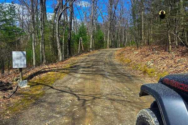
Three Springs Road
Three Springs Road is a short but scenic gravel route winding through the eastern edge of Michaux State Forest along the South Mountain ridge. While not long on its own, it’s best considered an extension of High Rock Road, together covering the entire eastern side of South Mountain within the forest...
Learn more about Three Springs Road
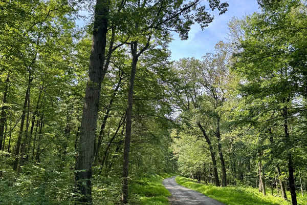
High Rock Road
A good way into the southern part of Michaux State Forest if coming from the east. This is a largely gravel/shale state forest road that meanders along the west side of the ridge of the South Mountain. It's notable for having three rustic, dispersed camp sites in a forest that does not have that man...
Learn more about High Rock Road

Milesburn Road
This is an unmaintained forest road connecting Baltimore Road with Ridge Road in Michaux State Forest. There are many opportunities for hiking, cycling, and sightseeing along this trail. This trail is mainly gravel, with a few dirt patches and small rocks. The trail is wide enough to pass comfortabl...
Learn more about Milesburn Road
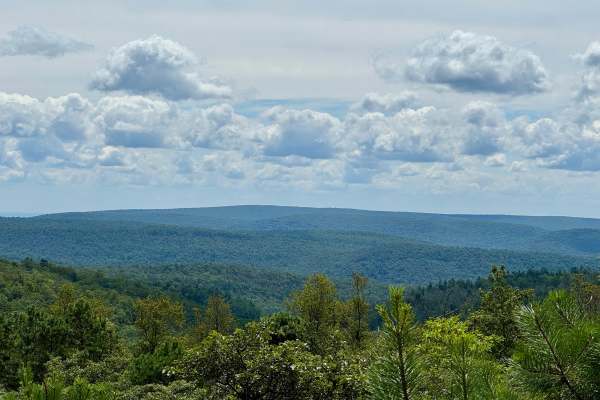
Stillhouse Hollow Road
This forest road features perhaps the best vista in Michaux State Forest. The Dark Hollow Vista is near the western end of this road. It is surprisingly quiet here, and on a recent visit, only 2 trucks and 6 bicycles passed by during 45 minutes while having lunch and taking in the view. This vista i...
Learn more about Stillhouse Hollow Road
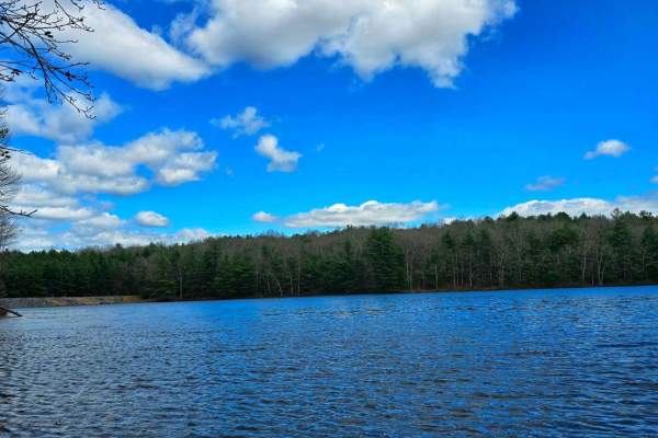
Carbaugh Road
Carbaugh Road is a short but significant connector between District Road and Newman Road, winding through a mix of public forest and private land--please be respectful of residents and any posted boundaries. Along this gravel byway, you'll find direct access to the Carbaugh Reservoir, a serene spot ...
Learn more about Carbaugh Road
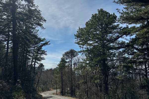
Middle Ridge Road
This is a side road coming off the Ridge Road Extension trail; it features steep inclines and declines as well as tight switchbacks, making it more difficult to traverse in the winter months. There are beautiful views throughout this trail, making it a must if you visit Michaux State Forest.
Learn more about Middle Ridge Road
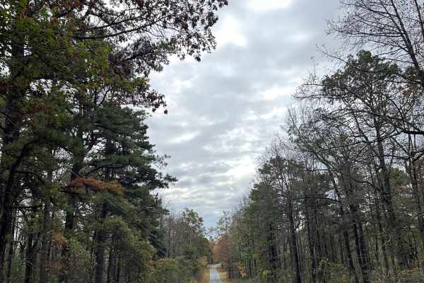
Ridge Road Extension
This is a small section of Ridge Road running through Michaux State Forest. Foliage views are excellent on this trail, so it is best traveled during peak foliage season. There are Appalachian Trail access points along this trail, as well as other hiking trail options. Haunted Hollow campsite is on t...
Learn more about Ridge Road Extension
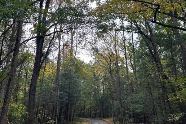
Rattlesnake Run
This is one of the first trails you'll hit if you enter Michaux from the south end. It is an unmaintained gravel road with multiple inclines and declines. There are many hiking trail options surrounding this trail, with Appalachian Trail access points. During the winter months, 4-wheel drive is sugg...
Learn more about Rattlesnake Run
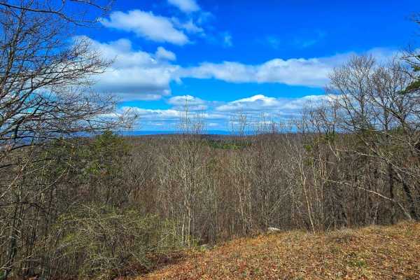
Snowy Mountain Road
A short but scenic gravel byway, Snowy Mountain Road connects Swamp Road to Swift Run Road, winding through dense hardwoods to a network of multi-use trails. It offers easy access to the Snowy Mountain Vista, where sweeping views of South Mountain and the Cumberland Valley open up. Along its 1.5-mil...
Learn more about Snowy Mountain Road
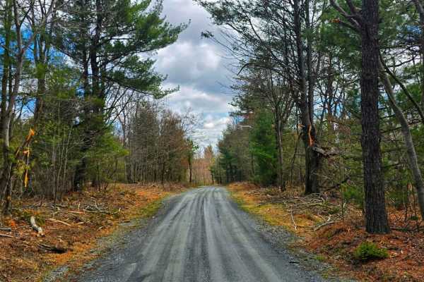
Swift Run Road
Traveling between Old Forge Road and Snowy Mountain Road, Swift Run Road offers a scenic backwoods route through Michaux's rugged heart. This gravel forest road passes key trailheads, including the Climbing Rock Trail, and provides access to the well-known climbing destination Shaffer Rocks--a popul...
Learn more about Swift Run Road
Beginner ATV trails near East Berlin, Pennsylvania
Explore ATV-friendly trails near you. These trails are accessible for vehicles up to 50 inches wide, perfect for ATVs and smaller off-road machines.
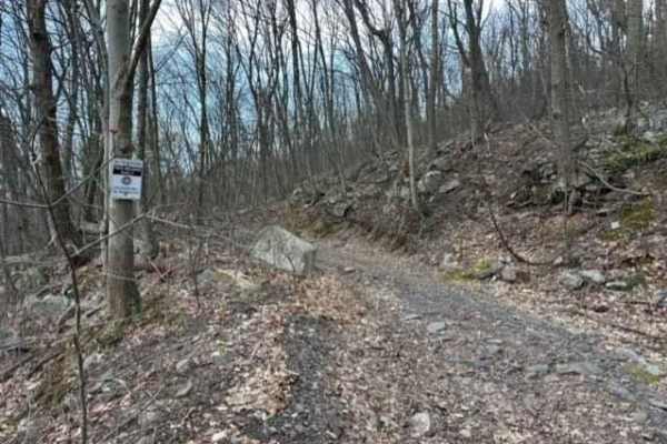
Tower City 6
Tower City 6 is probably the longest trail in this trail network. It goes from Gold Mine Road all the way out to Trail 3. This trail is a railroad bed so it is very flat and smooth with just a few rocky spots but plenty of puddles.
Learn more about Tower City 6
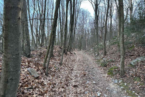
Tower City 14
This is a dead-end trail that goes up the mountain to what was a coal mining area. You will see the coal mine remnants in the form of pits and piles off to the sides. There are two small offshoots on this section but both are dead ends.
Learn more about Tower City 14
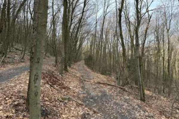
Tower City 7
Tower City 7 is an old railroad bed from Gold Mine Road to Trail 6. There is plenty of forest debris on this trail including logs, branches, and small rocks. Stay off the road as it is illegal to ride up and down the road. This is a great start to the trail network.
Learn more about Tower City 7
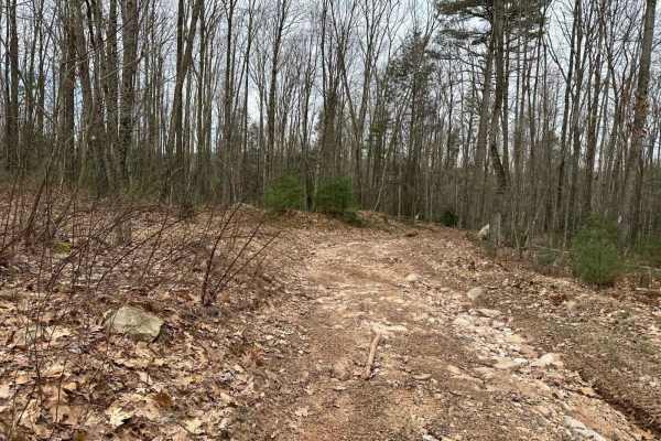
Tower City 22
This dead-end trail branches off of the corner of the parking lot. It is a skidder path left from the logging with some small obstacles and shallow puddles. The trail is just a short slow uphill that leads to a dead end where you have to turn and come back down.
Learn more about Tower City 22
Beginner UTV/side-by-side trails near East Berlin, Pennsylvania
Find UTV and side-by-side trails near you. These trails accommodate vehicles up to 60 inches wide, ideal for UTVs, side-by-sides, and wider off-road rigs.
Tower City 6
Tower City 6 is probably the longest trail in this trail network. It goes from Gold Mine Road all the way out to Trail 3. This trail is a railroad bed so it is very flat and smooth with just a few rocky spots but plenty of puddles.
Learn more about Tower City 6
Tower City 14
This is a dead-end trail that goes up the mountain to what was a coal mining area. You will see the coal mine remnants in the form of pits and piles off to the sides. There are two small offshoots on this section but both are dead ends.
Learn more about Tower City 14
Tower City 7
Tower City 7 is an old railroad bed from Gold Mine Road to Trail 6. There is plenty of forest debris on this trail including logs, branches, and small rocks. Stay off the road as it is illegal to ride up and down the road. This is a great start to the trail network.
Learn more about Tower City 7
Tower City 22
This dead-end trail branches off of the corner of the parking lot. It is a skidder path left from the logging with some small obstacles and shallow puddles. The trail is just a short slow uphill that leads to a dead end where you have to turn and come back down.
Learn more about Tower City 22
The onX Offroad Difference
onX Offroad combines trail photos, descriptions, difficulty ratings, width restrictions, seasonality, and more in a user-friendly interface. Available on all devices, with offline access and full compatibility with CarPlay and Android Auto. Discover what you're missing today!
Open Trail Map