
Beginner Off-Road Trails
Near Dayton, Montana
Explore All Beginner Trails Near Dayton, Montana
Beginner Off-Road Trails Near Dayton, Montana
Discover the best beginner-friendly off-road trails near you. These easier, lower-rated trails are a great place to start — browse trail maps, check difficulty ratings, and find your next adventure.
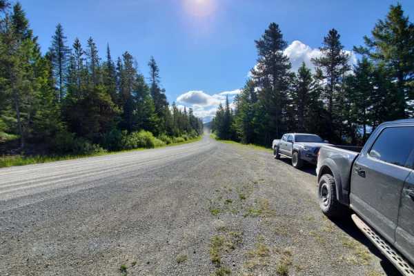
Lakeside to Blacktail
This is a fun, easy drive with great views of the valley. The trail is well maintained and there are no obstacles. This route begins in Lakeside, and leads to a scenic overlook of the Flathead Valley. You can also access the Blacktail Wild Bill OHV trail from this road.
Learn more about Lakeside to Blacktail
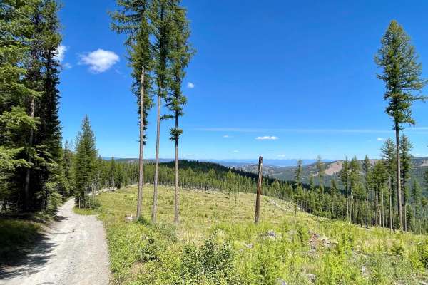
Wild Bill Eagle Mountain to The Playground
This is a main access trail for The Playground and other obstacles in the Wild Bill OHV system. Overall the trail is a straightforward gravel trail with optional extreme challenges. These manmade challenges range from steep rocky hill climbs, deep holes, large flex sections, tire climbs, log crossin...
Learn more about Wild Bill Eagle Mountain to The Playground
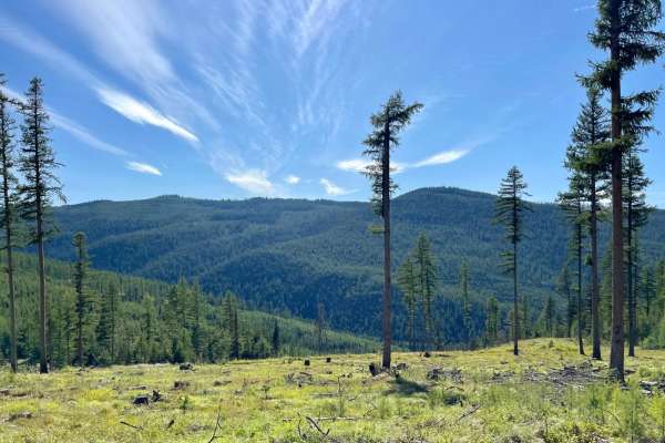
Firewood
This route begins off the Wild Bill Eagle Mountain trail to the south at Packrat Junction. Overall this is a smooth narrow well-graded trail. It provides easy access to the Mudhole Rendevous Point and Wild Bill Eagle Mountain without any challenges. From Packrat Junction, the trail starts as an easy...
Learn more about Firewood
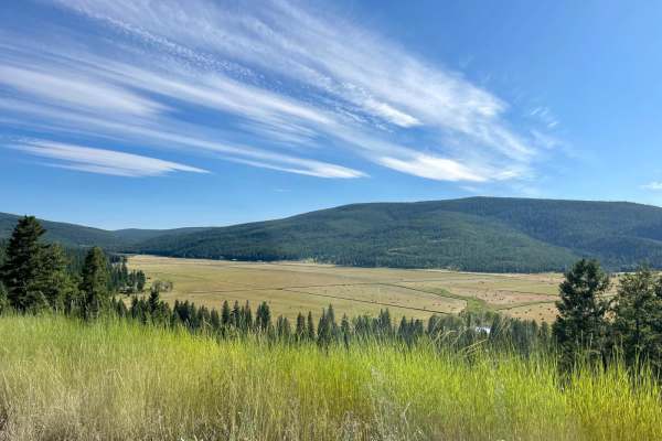
Mount Creek
This nicely graded two-track heads deeper into the woods and is a bit more remote. Some excellent sections of partially cleared forest provide outstanding views for miles and miles. If you are lucky, you will spot a moose or a white-tailed deer scampering across your path. The occasional pothole awa...
Learn more about Mount Creek
Wild Bill Creek
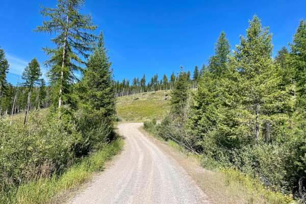
This mostly graded trail begins at the main staging area for the Wild Bill OHV area. There's plenty of parking for longer rigs and trailers at the staging area and a very informative kiosk with a decent pit toilet. The beginning of the trail is wide and open, but as you ascend into the hills, the tr...
Learn more about Wild Bill Creek
Low Side Saddle
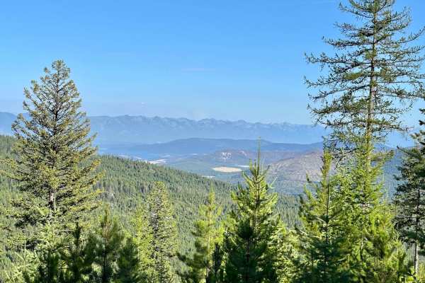
This narrow two-track trail is an out-and-back. It heads down the South Side Saddle to the Low Side Saddle, and it's the more traveled of the trails on this finger. This trail is a little off the beaten path and sees less traffic than the rest of the Wild Bill OHV area. Along the way, this trail pas...
Learn more about Low Side Saddle
Cramer Creek to Patrick Creek
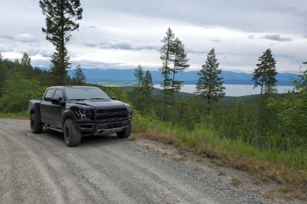
Cramer Creek to Patrick Creek is a scenic, beginner-friendly point-to-point route near Kalispell, Montana, perfect for any four-wheel-drive vehicle, SxS, or standard SUV looking for spectacular views of Flathead Lake and the valley. Spanning approximately 10 miles, this well-maintained unpaved road ...
Learn more about Cramer Creek to Patrick Creek
Wild Bill OHV Trailhead
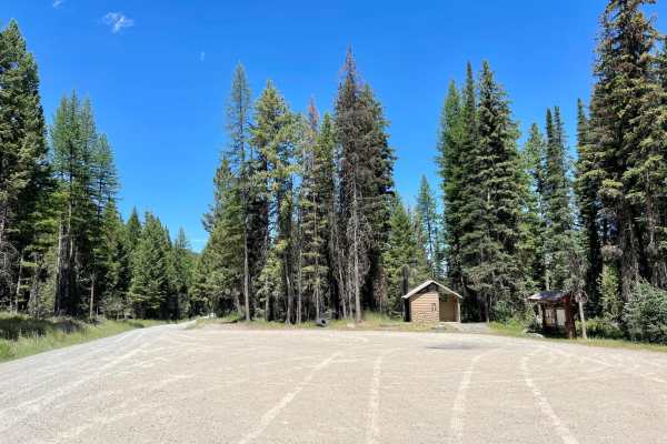
This well-maintained wide route is a great access road to get to the main staging area for the Wild Bill OHV Trail network. The trail is decently graded, with only a few minor potholes and plenty of room to pass oncoming vehicles. The posted speed is 20 mph as it passes through residential land the ...
Learn more about Wild Bill OHV Trailhead
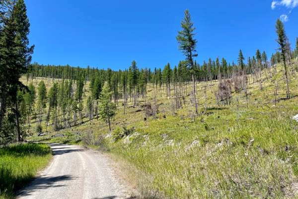
Wild Bill Saddle
This nice out-and-back trail heads from the main Wild Bill OHV staging area and pit toilets up the hill to the Wild Bill Saddle. Sections of the forest through here are dense, while others are partially cleared. The cleared areas make for really nice expansive views as you climb to the saddle. The t...
Learn more about Wild Bill Saddle
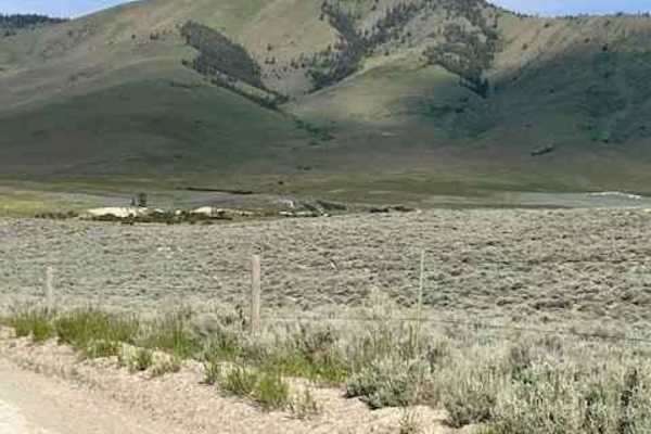
Niarada to Irvine Flats
The route might be dusty or damp depending on the weather. Snow does make it impassable if you go too early in the spring. Part of this trail passes through some old fire growth. Cell phone services are hit-and-miss. This track is 100% on CS&KT tribal lands. All recreational activities on tribal-own...
Learn more about Niarada to Irvine Flats
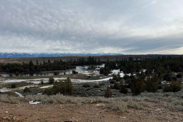
Buffalo Bridge - West
Buffalo Bridge West is a scenic riverside trail outside Polson, MT, running along the Flathead River. The route is mostly flat and approachable, but it includes several short hill climbs and steep descents that add some challenge. These hill sections are often muddy and rutted from erosion, especial...
Learn more about Buffalo Bridge - West
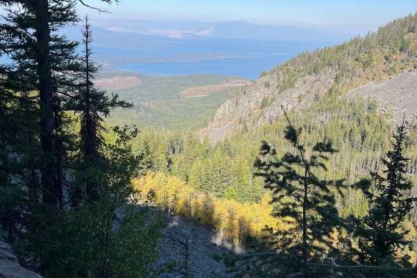
Hell Roaring Canyon
Hell Roaring Canyon is a moderately easy SxS trail in Montana’s Mission Mountains. It begins as a smooth logging road before narrowing into a rugged path that climbs toward a rockslide area. The route offers a fun, scenic ride with mountain views and just enough challenge to keep it interesting.
Learn more about Hell Roaring Canyon
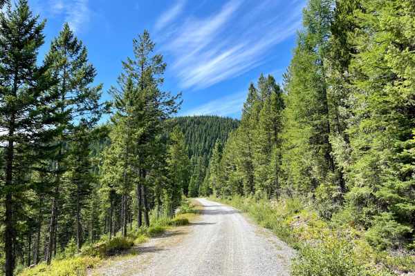
Truman Creek Road
This well-graded access route heads up into the hills and begins in the residential land below. The route is wide and bumpy, with washboard and loose gravel sections. The posted speed is 20 while in the residential area to decrease dust in the dry months. Please be respectful of the residents, to he...
Learn more about Truman Creek Road
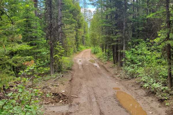
Wild Bill Creek/Firewood Trail to Truman Creek
This is a really fun loop with several access points to the Wild Bill OHV Recreation Trail. The main trailhead has a bathroom and a large parking area for trailers. Access to Mudhole Junction, Packrat Junction, Eagle Junction, Upper Dayton Creek and Truman Saddle are easily accessible with most 4WD ...
Learn more about Wild Bill Creek/Firewood Trail to Truman Creek
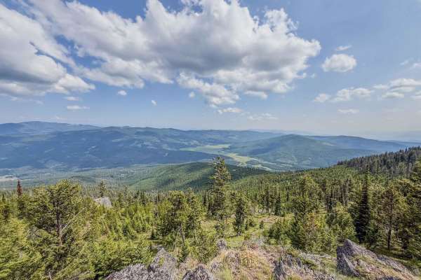
Mount Creek Potter Creek Road 2984
The Mount Creek-Potter Creek Road is an 8.6-mile, single-lane dirt road that ascends Mount Haskell to 6,253 feet. Beginning at Browns Meadow Road, it climbs 1,767 feet as it winds through the Flathead National Forest, wrapping around the slopes of Mount Haskell. Although the road is graded and gener...
Learn more about Mount Creek Potter Creek Road 2984
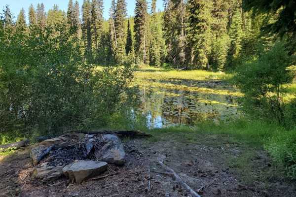
Mission Divide/Crane Mtn Road
Fun, easy-going trail with great views of the Swan Valley and Swan mountain range! No major obstacles and well kept, with plenty of hiking and epic mountain biking trails and a small pond along the way. This trail dead-ends, so you'll be coming out the same way you came in.
Learn more about Mission Divide/Crane Mtn Road
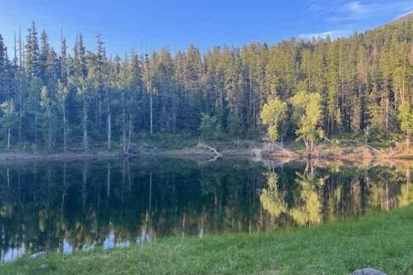
Minesinger to Scout Lake Pt. 2
This is a fun, easy-going trail that twists and turns through the trees with limited views of the Mission Valley and Flathead Lake. Some areas do have a fair share of potholes and loose rocks, but there are no major obstacles, and nothing is challenging for 4-wheel drive vehicles. Motorcycles: be aw...
Learn more about Minesinger to Scout Lake Pt. 2
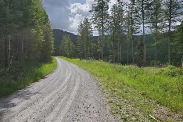
Patrick Creek to Emmons Creek
Easy, maintained scenic drive. The first few miles from Foys Canyon Road are residential. There are plenty of scenic pull-offs to enjoy, and the road provides access to the Foys-to-Blacktail hiking/biking trail. Emmons Creek intersects Truman Creek, minutes away from the Wild Bill OHV Trailhead. No ...
Learn more about Patrick Creek to Emmons Creek
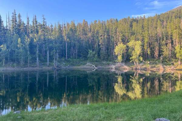
Minesinger to Scout Lake Pt.1
This is a fun, easy-going trail that twists and turns through the trees with limited views of the Mission Valley and Flathead Lake. Some areas do have a fair share of potholes and loose rocks, but there are no major obstacles, and nothing is challenging for 4-wheel drive vehicles. Motorcycles: be aw...
Learn more about Minesinger to Scout Lake Pt.1
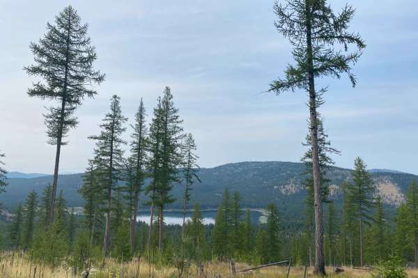
Haskill Divide
Haskill Divide is a narrow gravel road that climbs in elevation to an incredible overlook of Lake Rogers in Flathead National Forest. From the turn off of Haskill Divide it is 6.5 miles to the overlook. It climbs 1,574 feet in elevation. This is a well-maintained forest service road that can all be ...
Learn more about Haskill Divide
Beginner ATV trails near Dayton, Montana
Explore ATV-friendly trails near you. These trails are accessible for vehicles up to 50 inches wide, perfect for ATVs and smaller off-road machines.
Lakeside to Blacktail
This is a fun, easy drive with great views of the valley. The trail is well maintained and there are no obstacles. This route begins in Lakeside, and leads to a scenic overlook of the Flathead Valley. You can also access the Blacktail Wild Bill OHV trail from this road.
Learn more about Lakeside to Blacktail
Wild Bill Eagle Mountain to The Playground
This is a main access trail for The Playground and other obstacles in the Wild Bill OHV system. Overall the trail is a straightforward gravel trail with optional extreme challenges. These manmade challenges range from steep rocky hill climbs, deep holes, large flex sections, tire climbs, log crossin...
Learn more about Wild Bill Eagle Mountain to The Playground
Firewood
This route begins off the Wild Bill Eagle Mountain trail to the south at Packrat Junction. Overall this is a smooth narrow well-graded trail. It provides easy access to the Mudhole Rendevous Point and Wild Bill Eagle Mountain without any challenges. From Packrat Junction, the trail starts as an easy...
Learn more about Firewood
Mount Creek
This nicely graded two-track heads deeper into the woods and is a bit more remote. Some excellent sections of partially cleared forest provide outstanding views for miles and miles. If you are lucky, you will spot a moose or a white-tailed deer scampering across your path. The occasional pothole awa...
Learn more about Mount Creek
Beginner UTV/side-by-side trails near Dayton, Montana
Find UTV and side-by-side trails near you. These trails accommodate vehicles up to 60 inches wide, ideal for UTVs, side-by-sides, and wider off-road rigs.
Lakeside to Blacktail
This is a fun, easy drive with great views of the valley. The trail is well maintained and there are no obstacles. This route begins in Lakeside, and leads to a scenic overlook of the Flathead Valley. You can also access the Blacktail Wild Bill OHV trail from this road.
Learn more about Lakeside to Blacktail
Wild Bill Eagle Mountain to The Playground
This is a main access trail for The Playground and other obstacles in the Wild Bill OHV system. Overall the trail is a straightforward gravel trail with optional extreme challenges. These manmade challenges range from steep rocky hill climbs, deep holes, large flex sections, tire climbs, log crossin...
Learn more about Wild Bill Eagle Mountain to The Playground
Firewood
This route begins off the Wild Bill Eagle Mountain trail to the south at Packrat Junction. Overall this is a smooth narrow well-graded trail. It provides easy access to the Mudhole Rendevous Point and Wild Bill Eagle Mountain without any challenges. From Packrat Junction, the trail starts as an easy...
Learn more about Firewood
Mount Creek
This nicely graded two-track heads deeper into the woods and is a bit more remote. Some excellent sections of partially cleared forest provide outstanding views for miles and miles. If you are lucky, you will spot a moose or a white-tailed deer scampering across your path. The occasional pothole awa...
Learn more about Mount Creek
The onX Offroad Difference
onX Offroad combines trail photos, descriptions, difficulty ratings, width restrictions, seasonality, and more in a user-friendly interface. Available on all devices, with offline access and full compatibility with CarPlay and Android Auto. Discover what you're missing today!
Open Trail Map