
Beginner Off-Road Trails
Near Cyr, Montana
Explore All Beginner Trails Near Cyr, Montana
Beginner Off-Road Trails Near Cyr, Montana
Discover the best beginner-friendly off-road trails near you. These easier, lower-rated trails are a great place to start — browse trail maps, check difficulty ratings, and find your next adventure.
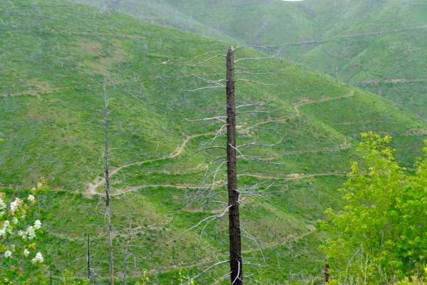
South Fork Nemote Creek - Sheridan Ridge Loop
South Fork Nemote Creek (FSR 9915)-Sheridan Ridge (FSR 9914-9912) Loop is a route that makes a big loop thru this section of Lolo National Forest. The route climbs to 5500' on a gravel one-lane road with steep banks and turns on the route. The route is only open from 05/16-10/14 or is impassible due...
Learn more about South Fork Nemote Creek - Sheridan Ridge Loop
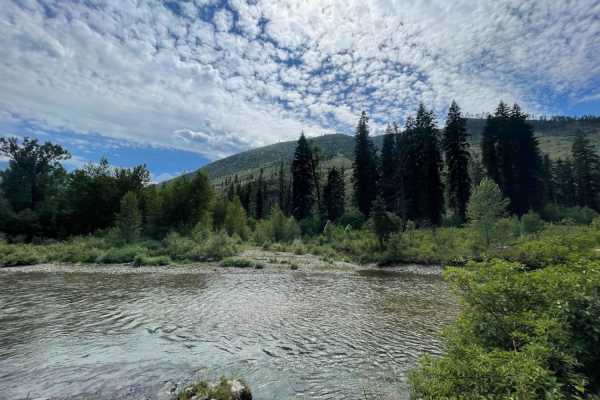
Fish Creek
This well-traveled gravel road heads from the highway side on the North end of Fish Creek State Park to the southern end of the park. The trail is mostly loose gravel and washboard except where it runs along the river and is dust controlled packed. There are many opportunities for water activities a...
Learn more about Fish Creek
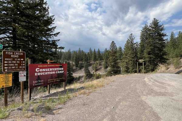
Iron Mountain - FSR 344
This road extends from Fish Creek (FSR 343) to Quartz Loop Road. It is a nice Sunday drive paralleling south of I-90 with great views of the Clark Fork River and the valley I-90 runs through. This trail offers multiple places to stop and explore or take in the views during lunch, with a few bridge c...
Learn more about Iron Mountain - FSR 344
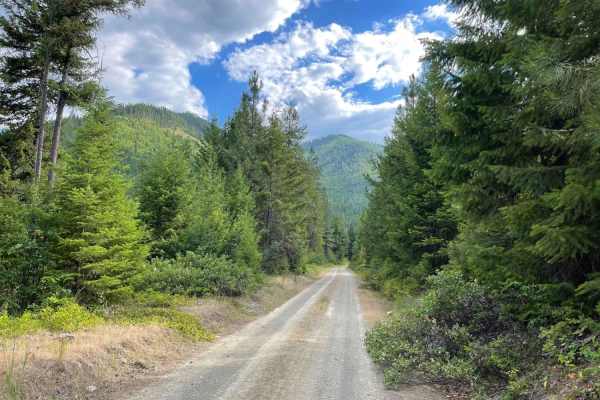
Rock Creek Tarkio
Up up and away. This out and back is a slog to the top. It starts off well traveled and ends as a narrow two-track in deep grass with large boulders hiding in it. The middle section of the trail is a dense forest with lots of evidence of tree cutting and wood gathering of fresh deadfall. Again, one ...
Learn more about Rock Creek Tarkio
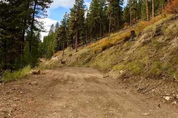
South Fork Nemote - Sheridan Ridge Loop
This route is controlled by two gates that are opened only from 05/16-10/14. The route passes thru both the Lolo National Forest and Fish Creek Wildlife Area. It is a single gravel, loose rock road that climbs up to 4600' through a burnt-out area of Government Lands. The majority of the route is mad...
Learn more about South Fork Nemote - Sheridan Ridge Loop
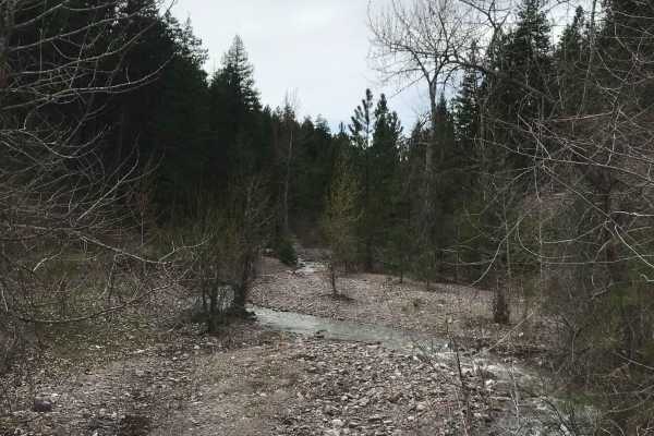
Southside Road
Southside Road is a scenic, beginner-friendly 21.9-mile backroad running along the Clark Fork River in western Montana, perfect for families, sightseers, and offroaders looking for a relaxed dirt route through lush forests. This easy-going route offers a technical rating of 1, making it accessible t...
Learn more about Southside Road
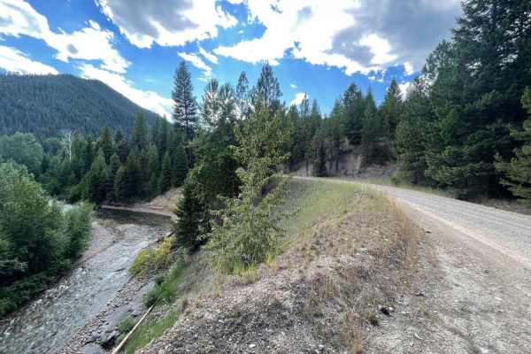
West Fork Fish Creek
This nice out and back is mostly gravel with some deep washboard sections. It runs along and above the river as it heads back toward the Clearwater Crossing campground and the West Fork Fish Creek hiking trail 101. This trail leads past the French Conservation Education Camp before it ends at the fa...
Learn more about West Fork Fish Creek
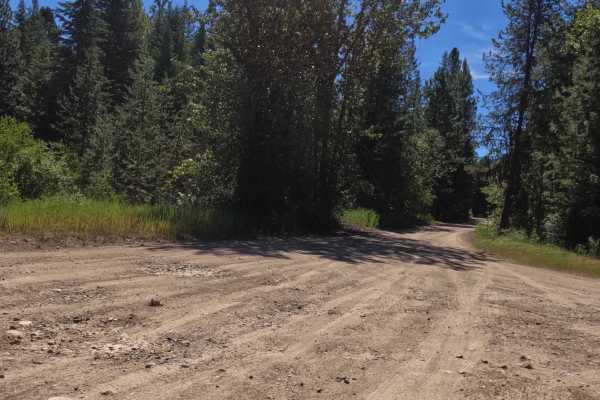
South Fish Creek - FS 343
The route starts at the intersection of West Fork Fish Creek and Fish Creek Roads. The road is loose gravel and dirt with many potholes, both big and small, for most of the route. It can be very dusty on dry days, as it goes through forest land and parallels parts of Fish Creek. The route is mainly...
Learn more about South Fish Creek - FS 343
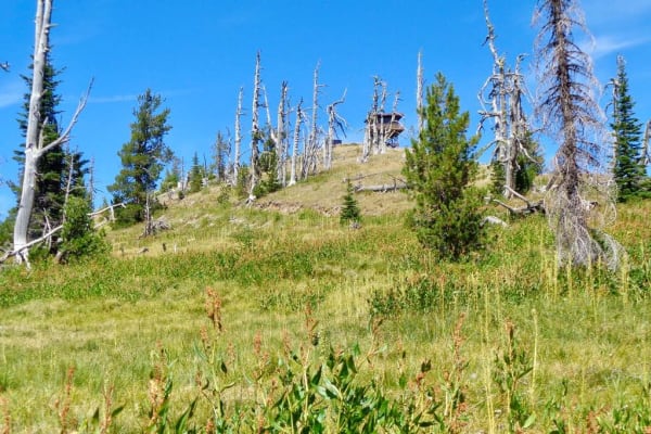
Nemote Creek to Stark Lookout
The route begins on a two-lane gravel road that eventually works its way down to one. The road can be dusty if it has been dry, but really a great ride if it rained the day before. The route begins at an altitude of 3100' and makes its way to 7300' at the tower base. There is a gate owned by the fir...
Learn more about Nemote Creek to Stark Lookout
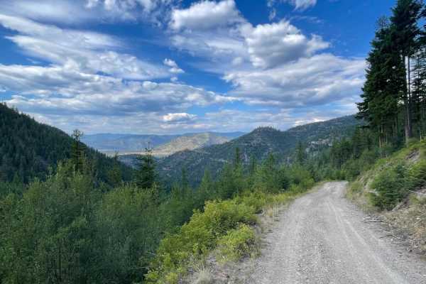
Williams Pass
Williams Pass, also known as Trail Creek Road (FS Road 341), is an exciting mountain route for intermediate offroaders, dirt bike riders, and four-wheel-drive enthusiasts looking for scenic, narrow shelf-road driving in the Lolo National Forest. Spanning roughly 6 miles, this route climbs and descen...
Learn more about Williams Pass
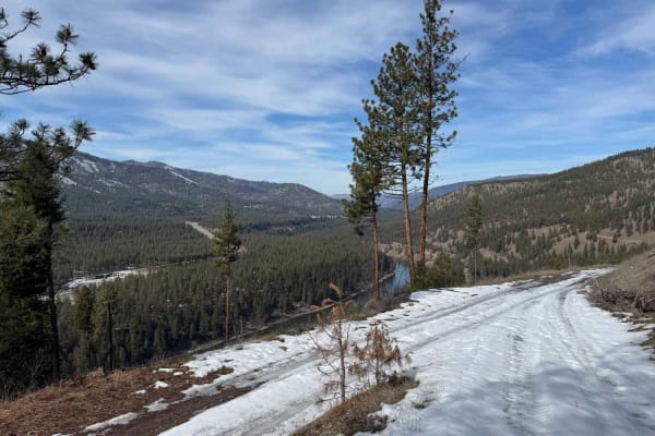
Micayune Gulch - FSR 1577
It's a nice, leisurely Sunday afternoon drive opportunity. This trail starts at Nemote Creek- 454 and appears private, but it is not. At 1.5 miles, you can choose to stay left, take a shortcut, or bare right going uphill. This wraps you around a short hill about 2.25 miles. Continuing, you will ...
Learn more about Micayune Gulch - FSR 1577
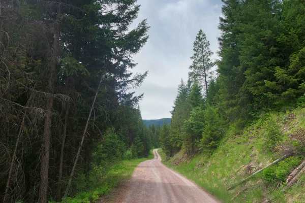
West Fork Petty Creek Road 22
If you're looking for access to deep sections of Lolo National Forest near Alberton, this is a great place to start. The road is well-maintained gravel and dirt during summer, but the snow doesn't usually melt until late spring. Make sure to keep your speed low for the first 4 miles to keep from kic...
Learn more about West Fork Petty Creek Road 22
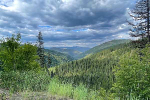
Rock Creek Williams Ridge
This trail is the best one for a view along rock creek. This grassy, mostly two-track leads up into the hills on a narrow trail with frequent downed trees and deep potholes. The views as you get closer to the top are exceptional, and there's a nice open spot with outstanding vistas at the top for ab...
Learn more about Rock Creek Williams Ridge
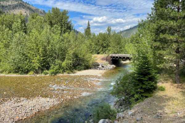
Bear Creek
This short out and back feature a few nice large established campsites with a 14-day limit, fire rings and picnic benches, a little pit toilet, and good river access. There are plenty of offshoots to make camp at, and the road itself is graded but still rocky. It gets narrow the further you go, and ...
Learn more about Bear Creek

Quartz Ridge
The route consists primarily of gravel with some grassy sections, winding through numerous sharp turns bordered by steep embankments. Cut trees line portions of the road, and cell service is available throughout the route. In fall, changing foliage adds to the scenery and expansive views of the Lolo...
Learn more about Quartz Ridge
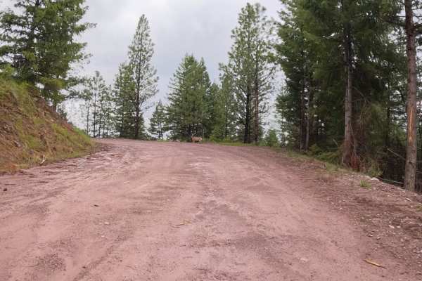
Deep Creek Road-Nemote Creek Road
The route starts as a wide 2-lane road that passes mostly thru Forest land and some Cedar Groves. The road is mostly gravel, with some loose rock, and dirt. You will pass thru a small area where logging has been recently done. The road narrows to one lane in some places and has some steep drop-offs....
Learn more about Deep Creek Road-Nemote Creek Road
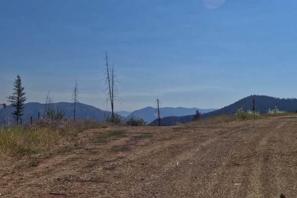
Saint Pats - FS 7783
Route begins at the St. Pats Quartz Creek - FS 345 intersection. The route is mainly one vehicle wide with a gravel-grass mix to ride on. The route has some sharp turns and very steep embankments. The flora along the route is starting to show fall colors. A flock of turkeys was the only fauna seen f...
Learn more about Saint Pats - FS 7783
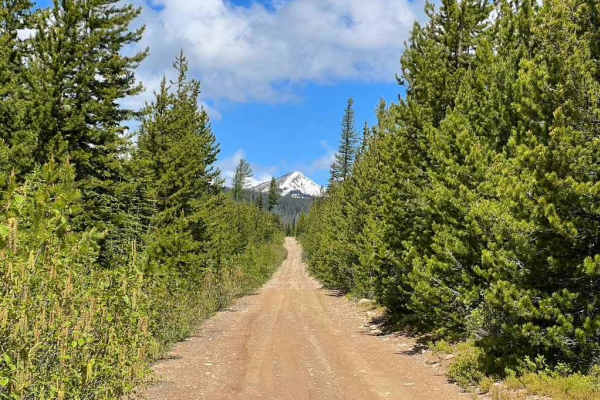
Edith Peak 476-1
Make your way up to Edith Peak and enjoy views of the valley floor below, vibrant wildflowers, and (if you're lucky) a snow-capped Ch-paa-qn Peak in spring. This road is usually buried in snow from mid-late fall through late spring and includes several stomach-turning moments where the road narrows ...
Learn more about Edith Peak 476-1
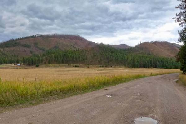
Saint Pats Road-Cyr Iron Mountain Road
The route begins looking over farmland where deer, elk, and turkeys can be seen at times. The route is mainly made up of gravel with some loose rock in places. You should find cell service along the route. The route does a gradual climb of 1,000 feet to where you will get beautiful views of the Clar...
Learn more about Saint Pats Road-Cyr Iron Mountain Road
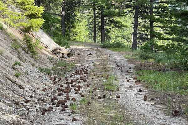
Pinecones and Tall Grass
If you love riding on pinecones and through tall grass, then you're in luck. This trail gets you further into the mountains and even more remote. If you want peace and quiet, then this is for you. Watch for boulders hidden in the tall grass from frequent rock slides and be aware of downed trees in s...
Learn more about Pinecones and Tall Grass
Beginner ATV trails near Cyr, Montana
Explore ATV-friendly trails near you. These trails are accessible for vehicles up to 50 inches wide, perfect for ATVs and smaller off-road machines.
South Fork Nemote Creek - Sheridan Ridge Loop
South Fork Nemote Creek (FSR 9915)-Sheridan Ridge (FSR 9914-9912) Loop is a route that makes a big loop thru this section of Lolo National Forest. The route climbs to 5500' on a gravel one-lane road with steep banks and turns on the route. The route is only open from 05/16-10/14 or is impassible due...
Learn more about South Fork Nemote Creek - Sheridan Ridge Loop
Fish Creek
This well-traveled gravel road heads from the highway side on the North end of Fish Creek State Park to the southern end of the park. The trail is mostly loose gravel and washboard except where it runs along the river and is dust controlled packed. There are many opportunities for water activities a...
Learn more about Fish Creek
Iron Mountain - FSR 344
This road extends from Fish Creek (FSR 343) to Quartz Loop Road. It is a nice Sunday drive paralleling south of I-90 with great views of the Clark Fork River and the valley I-90 runs through. This trail offers multiple places to stop and explore or take in the views during lunch, with a few bridge c...
Learn more about Iron Mountain - FSR 344
Rock Creek Tarkio
Up up and away. This out and back is a slog to the top. It starts off well traveled and ends as a narrow two-track in deep grass with large boulders hiding in it. The middle section of the trail is a dense forest with lots of evidence of tree cutting and wood gathering of fresh deadfall. Again, one ...
Learn more about Rock Creek Tarkio
Beginner UTV/side-by-side trails near Cyr, Montana
Find UTV and side-by-side trails near you. These trails accommodate vehicles up to 60 inches wide, ideal for UTVs, side-by-sides, and wider off-road rigs.
South Fork Nemote Creek - Sheridan Ridge Loop
South Fork Nemote Creek (FSR 9915)-Sheridan Ridge (FSR 9914-9912) Loop is a route that makes a big loop thru this section of Lolo National Forest. The route climbs to 5500' on a gravel one-lane road with steep banks and turns on the route. The route is only open from 05/16-10/14 or is impassible due...
Learn more about South Fork Nemote Creek - Sheridan Ridge Loop
Fish Creek
This well-traveled gravel road heads from the highway side on the North end of Fish Creek State Park to the southern end of the park. The trail is mostly loose gravel and washboard except where it runs along the river and is dust controlled packed. There are many opportunities for water activities a...
Learn more about Fish Creek
Iron Mountain - FSR 344
This road extends from Fish Creek (FSR 343) to Quartz Loop Road. It is a nice Sunday drive paralleling south of I-90 with great views of the Clark Fork River and the valley I-90 runs through. This trail offers multiple places to stop and explore or take in the views during lunch, with a few bridge c...
Learn more about Iron Mountain - FSR 344
Rock Creek Tarkio
Up up and away. This out and back is a slog to the top. It starts off well traveled and ends as a narrow two-track in deep grass with large boulders hiding in it. The middle section of the trail is a dense forest with lots of evidence of tree cutting and wood gathering of fresh deadfall. Again, one ...
Learn more about Rock Creek Tarkio
The onX Offroad Difference
onX Offroad combines trail photos, descriptions, difficulty ratings, width restrictions, seasonality, and more in a user-friendly interface. Available on all devices, with offline access and full compatibility with CarPlay and Android Auto. Discover what you're missing today!
Open Trail Map