
Beginner Off-Road Trails
Near Crescent City, Florida
Explore All Beginner Trails Near Crescent City, Florida
Beginner Off-Road Trails Near Crescent City, Florida
Discover the best beginner-friendly off-road trails near you. These easier, lower-rated trails are a great place to start — browse trail maps, check difficulty ratings, and find your next adventure.
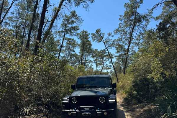
Neck - ONF 41
The Neck Trail, also known as Ocala National Forest Road 41, connects North Cross at the north end and Fort Gates Ferry Road at the south end in the North Part of the ONF. The trail is a shortcut to avoid the narrow part of the North Cross trail. The road conditions are a mixture of packed sand, loo...
Learn more about Neck - ONF 41
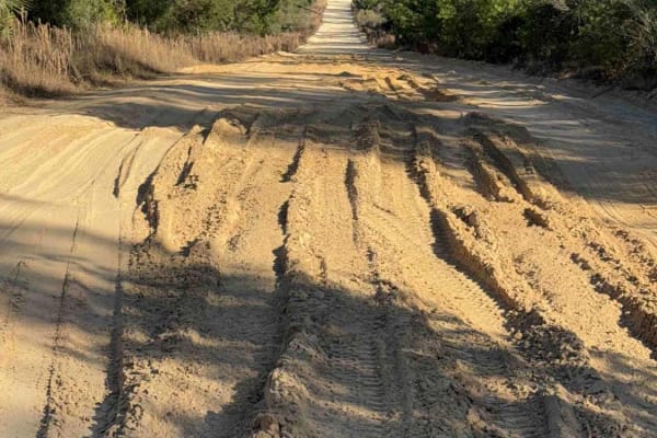
Rommel Trail - ONF 62
The Rommel Trail, also known as Ocala National Forest Road 62, connects Highway 19 at the west end and the Fort Gates Ferry Road at the east end in the north part of the Ocala National Forest. The trail gives you access to the Fort Gates Ferry Trail and other trails in the area. The road conditions ...
Learn more about Rommel Trail - ONF 62
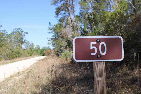
Ocala National Forest | Trail 50
This trail included portions of limestone, clay, and patches of sugar sand. Cell phone service was 4G LTE 1-3 bars with Verizon. This trail includes the Hopkins Prairie Campground which has multiple campsites with beautiful scenery. The trail includes an environment of pine forest, thick brush, and ...
Learn more about Ocala National Forest | Trail 50
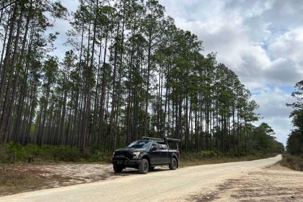
New River Road
New River Road is an improved road of hard-packed gravel and sand. It gains access to Davenport Landing Campground and trailhead along the Ocklawaha River. It's a cool secluded campsite sheltered by a hammock in Ocala National Forest. It also connects to many forest roads with more technical terrain...
Learn more about New River Road
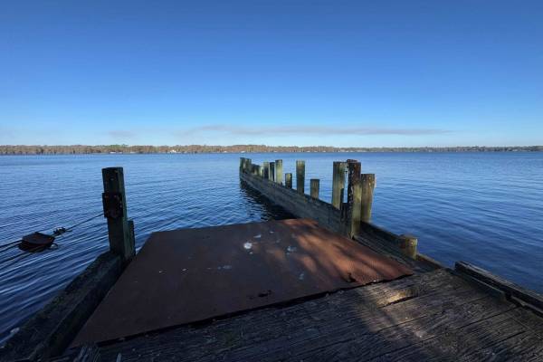
Fort Gates Ferry Road - ONF 29
The Fort Gates Ferry Road, also known as Ocala National Forest Road 29, starts at Highway 19 at the west end and ends in Fort Gates at the St. Johns River in the north part of the Ocala National Forest. The trail gives you access to a boat ramp at the St. Johns River and used to be the take-off for ...
Learn more about Fort Gates Ferry Road - ONF 29
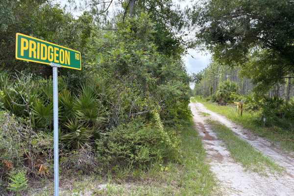
Pridgeon Road
Pridgeon Road takes you from west to east through the Astor Tract in the northern part of Lake George State Forest and connects Riley Pridgeon and Big Pond Road. The road gives you access to several trails in the area. The road conditions are a mixture of packed sand, loose sand, and some deep holes...
Learn more about Pridgeon Road

Lake Kerr Key - FS 316
Lake Kerr Key trail, also known as Ocala National Forest Road 316, takes you from County Road 316 down to Lake Kerr Key, a small village with a few homes and a public boat ramp to access Lake Kerr. The road is usually well maintained and easy to drive on, unless after heavy rain. The road is always ...
Learn more about Lake Kerr Key - FS 316
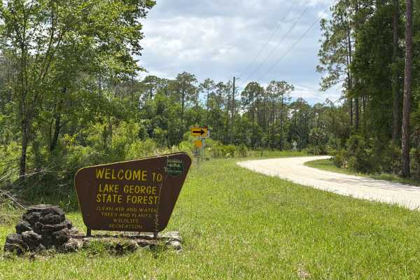
Petersen Road
Petersen Road takes you from west to east through the Astor Tract in the northern part of Lake George State Forest and connects Riley Pridgeon, Big Pond Road, and Crooked Road. The road gives you access to a few trails in the area. The road conditions are a mixture of packed sand, loose sand, and so...
Learn more about Petersen Road
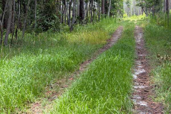
Big Pond Road
Big Pond Road takes you from north to south through the Astor Tract in the north part of Lake George State Forest and connects Pridgeon and Petersen Road. The road conditions are a mixture of packed sand, loose sand, and some deep holes that can turn into 2-foot deep mud holes after rainy days. Some...
Learn more about Big Pond Road
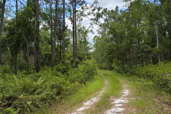
Crooked Road
Crooked Road takes you from north to south through the Astor Tract in the north part of Lake George State Forest and connects Petersen Road and Sandy Drain Road. The road conditions are a mixture of packed sand, loose sand, and some deep holes that can turn into 2-foot deep mud holes after rainy day...
Learn more about Crooked Road
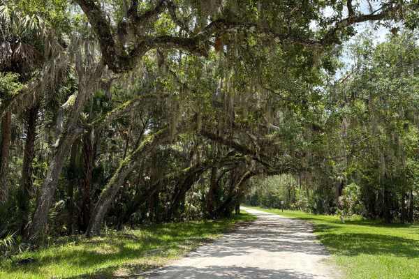
Volusia Bar Road
Volusia Bar Road takes you from west to east through the Astor Tract in the northern part of Lake George State Forest. The road starts at Riley Pridgeon and gives you access to a marina and a boat ramp on Payne Creek / St. Johns River. The road is well-maintained and always wide enough for two vehic...
Learn more about Volusia Bar Road
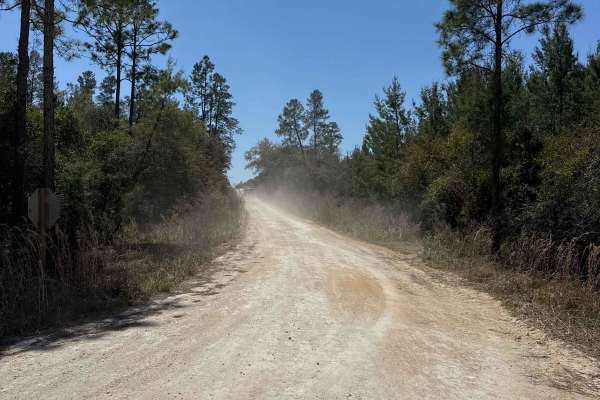
West Cross Br Bay - ONF 21
West Cross Br Bay, also known as Ocala National Forest Road 21, connects North Cross at the south end and New River Road at the north end in the North Part of the ONF. It gives you access to Davenport Landing Campsite with access to the Ocklawaha River. The road conditions are a mixture of packed sa...
Learn more about West Cross Br Bay - ONF 21
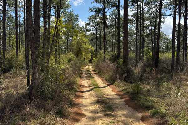
Ocala National Forest 316-7.1
Ocala National Forest Road 316-7.1 connects North Cross at the north end and CR 316 at the south end in the North Part of the ONF. The trail is a shortcut from CR 316 to the Lake Delancy Campgrounds and the North Cross trail. The Lake Delancy Campgrounds offer 30 primitive campsites for tents and sm...
Learn more about Ocala National Forest 316-7.1
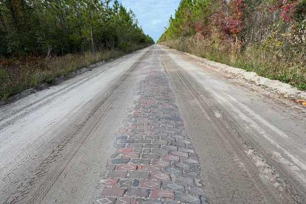
Old Brick Road (Old Dixie Highway)
Citrus WMA Trail 11B, identified as Forest Road 11B on Florida Forest Service maps, is a 2.6-mile, full-width 4WD route in the Citrus Tract of Withlacoochee State Forest near Inverness, Florida. The trail connects with West Stage Coach Trail and provides access to the Citrus Wildlife Management Area...
Learn more about Old Brick Road (Old Dixie Highway)
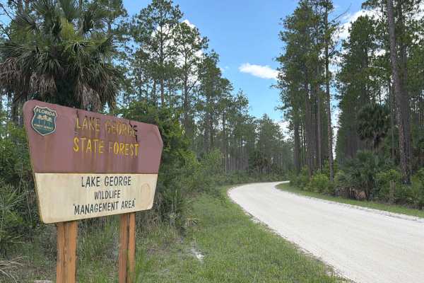
Riley Pridgeon
Riley Pridgeon takes you from north to south through the Astor Tract in the north part of Lake George State Forest and connects State Road 40 and Shell Harbor. The road gives you access to several trails in the area. It's a well-maintained road that's always wide enough for two vehicles to pass. Off...
Learn more about Riley Pridgeon
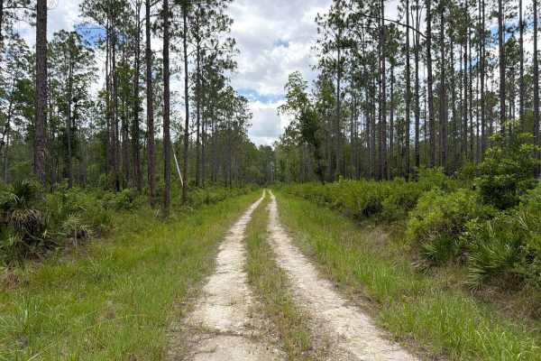
Sandy Drain Road
Sandy Drain Road takes you from west to east through the Astor Tract in the northern part of Lake George State Forest and connects Riley Pridgeon and Crooked Road. The road gives you access to a few trails in the area. The road conditions are a mixture of packed sand, loose sand, and some deep holes...
Learn more about Sandy Drain Road
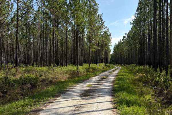
Dove Field Road
Dove Field Road takes you from north to south through the Dexter/Mary Farms Tract in the southern part of Lake George State Forest and starts at Bluffton Road. The road conditions are a mixture of packed sand, loose sand, and some deep holes that can turn into 2-foot deep mud holes after rainy days....
Learn more about Dove Field Road
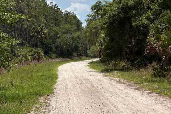
St Johns River Road
St Johns River Road takes you from north to south to the Bluffton Recreation Area and the River Road Campground in the southern part of Lake George State Forest. This trail is the only entrance to the area. It's a well-maintained road that's always wide enough for two vehicles to pass. Off-Highway V...
Learn more about St Johns River Road
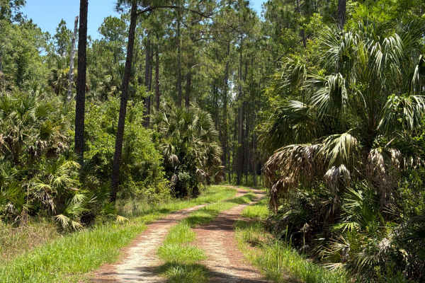
Mary Farms Road
Mary Farms Road takes you from north to south through the Dexter/Mary Farms Tract in the southern part of Lake George State Forest and starts at Bluffton Road. The road conditions are a mixture of packed sand, loose sand, and some deep holes that can turn into 2-foot deep mud holes after rainy days....
Learn more about Mary Farms Road
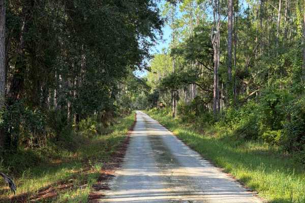
Check Station Road
Check Station Road takes you from north to south through the Dexter/Mary Farms Tract in the southern part of Lake George State Forest and connects State Road 40 and Bluffton Road. This trail is the only entrance to the area. It's a well-maintained road that's always wide enough for two vehicles to p...
Learn more about Check Station Road
Beginner ATV trails near Crescent City, Florida
Explore ATV-friendly trails near you. These trails are accessible for vehicles up to 50 inches wide, perfect for ATVs and smaller off-road machines.
Neck - ONF 41
The Neck Trail, also known as Ocala National Forest Road 41, connects North Cross at the north end and Fort Gates Ferry Road at the south end in the North Part of the ONF. The trail is a shortcut to avoid the narrow part of the North Cross trail. The road conditions are a mixture of packed sand, loo...
Learn more about Neck - ONF 41
Rommel Trail - ONF 62
The Rommel Trail, also known as Ocala National Forest Road 62, connects Highway 19 at the west end and the Fort Gates Ferry Road at the east end in the north part of the Ocala National Forest. The trail gives you access to the Fort Gates Ferry Trail and other trails in the area. The road conditions ...
Learn more about Rommel Trail - ONF 62
Fort Gates Ferry Road - ONF 29
The Fort Gates Ferry Road, also known as Ocala National Forest Road 29, starts at Highway 19 at the west end and ends in Fort Gates at the St. Johns River in the north part of the Ocala National Forest. The trail gives you access to a boat ramp at the St. Johns River and used to be the take-off for ...
Learn more about Fort Gates Ferry Road - ONF 29
Pridgeon Road
Pridgeon Road takes you from west to east through the Astor Tract in the northern part of Lake George State Forest and connects Riley Pridgeon and Big Pond Road. The road gives you access to several trails in the area. The road conditions are a mixture of packed sand, loose sand, and some deep holes...
Learn more about Pridgeon Road
Beginner UTV/side-by-side trails near Crescent City, Florida
Find UTV and side-by-side trails near you. These trails accommodate vehicles up to 60 inches wide, ideal for UTVs, side-by-sides, and wider off-road rigs.
Neck - ONF 41
The Neck Trail, also known as Ocala National Forest Road 41, connects North Cross at the north end and Fort Gates Ferry Road at the south end in the North Part of the ONF. The trail is a shortcut to avoid the narrow part of the North Cross trail. The road conditions are a mixture of packed sand, loo...
Learn more about Neck - ONF 41
Rommel Trail - ONF 62
The Rommel Trail, also known as Ocala National Forest Road 62, connects Highway 19 at the west end and the Fort Gates Ferry Road at the east end in the north part of the Ocala National Forest. The trail gives you access to the Fort Gates Ferry Trail and other trails in the area. The road conditions ...
Learn more about Rommel Trail - ONF 62
Fort Gates Ferry Road - ONF 29
The Fort Gates Ferry Road, also known as Ocala National Forest Road 29, starts at Highway 19 at the west end and ends in Fort Gates at the St. Johns River in the north part of the Ocala National Forest. The trail gives you access to a boat ramp at the St. Johns River and used to be the take-off for ...
Learn more about Fort Gates Ferry Road - ONF 29
Pridgeon Road
Pridgeon Road takes you from west to east through the Astor Tract in the northern part of Lake George State Forest and connects Riley Pridgeon and Big Pond Road. The road gives you access to several trails in the area. The road conditions are a mixture of packed sand, loose sand, and some deep holes...
Learn more about Pridgeon Road
The onX Offroad Difference
onX Offroad combines trail photos, descriptions, difficulty ratings, width restrictions, seasonality, and more in a user-friendly interface. Available on all devices, with offline access and full compatibility with CarPlay and Android Auto. Discover what you're missing today!
Open Trail Map