Fort Gates Ferry Road - ONF 29

Total Miles7.2
Technical Rating
3Easy
Best TimeSpring, Fall, Winter
Trail TypeFull-Width Road
Accessible By
Open Trail Map

Trail Overview

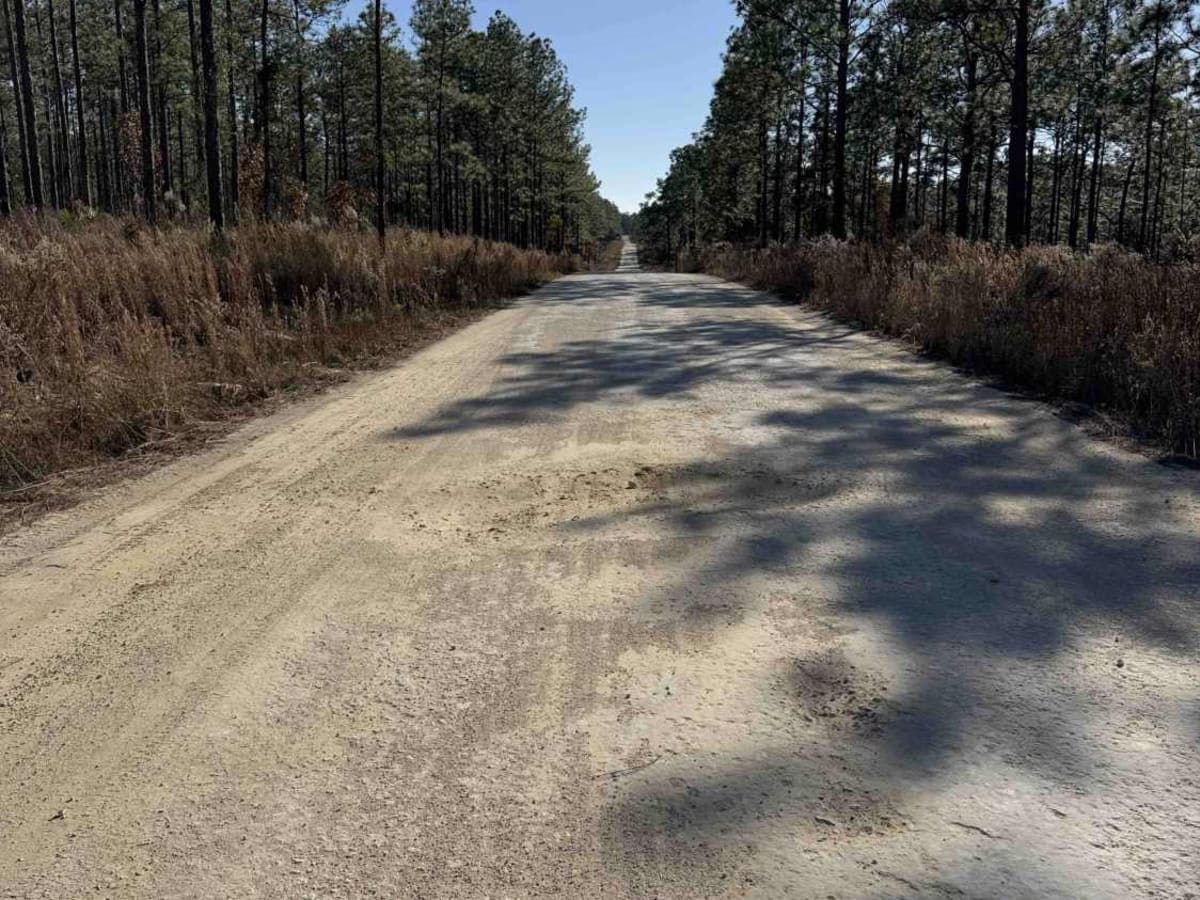
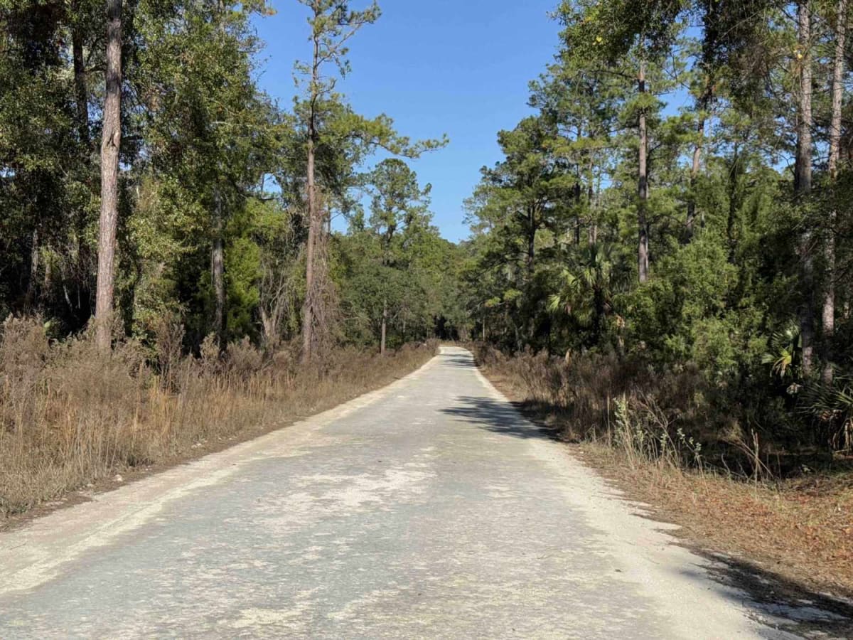
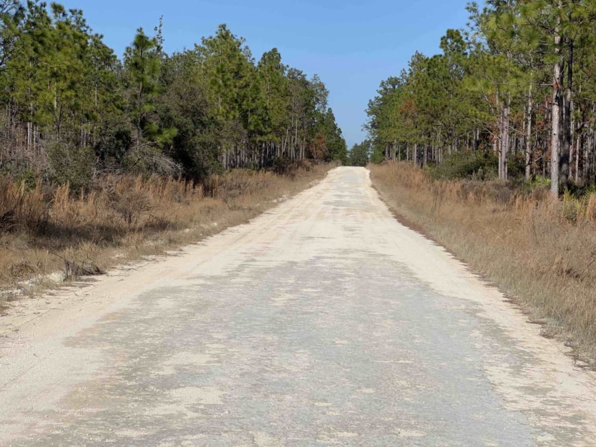
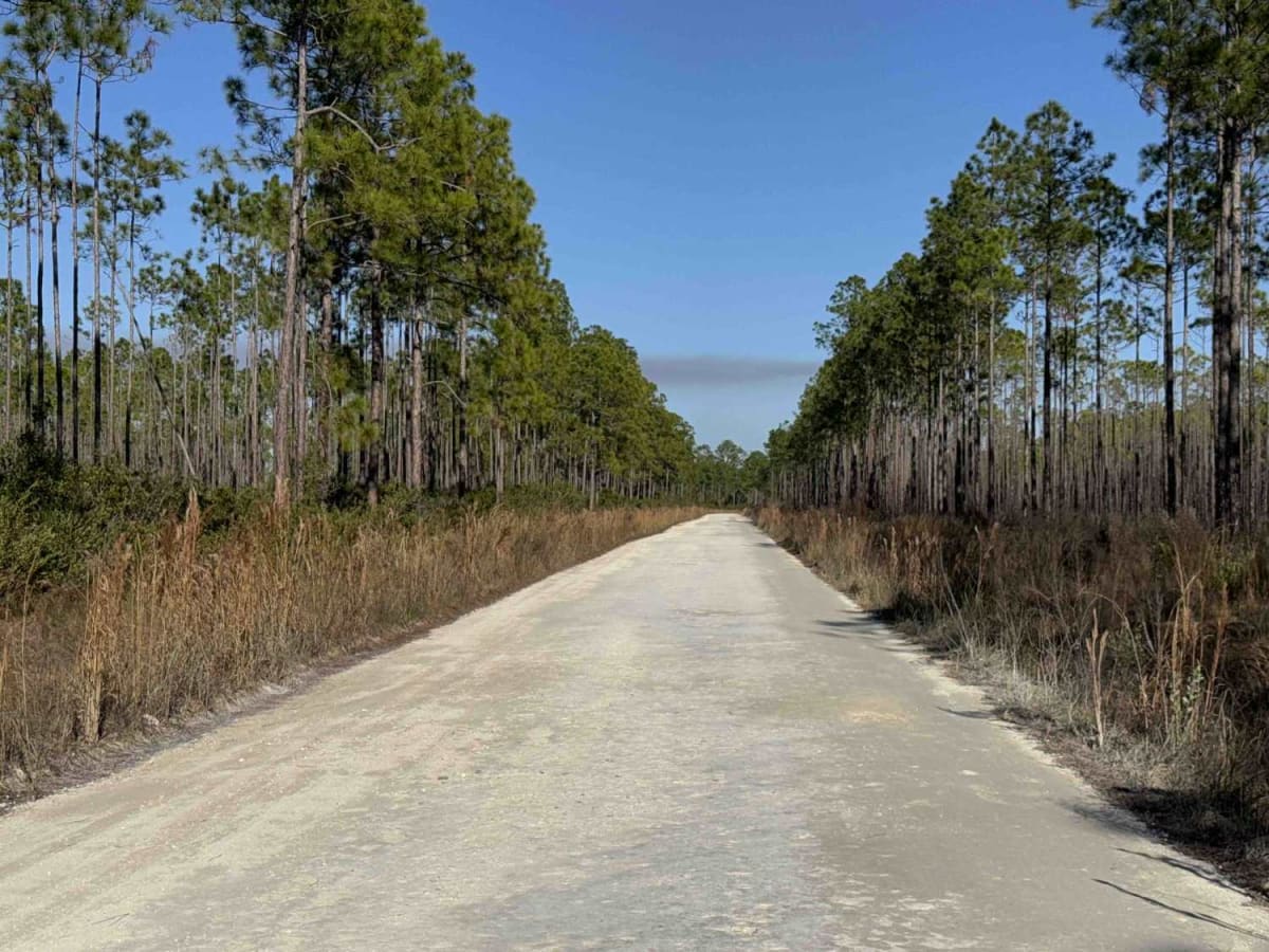
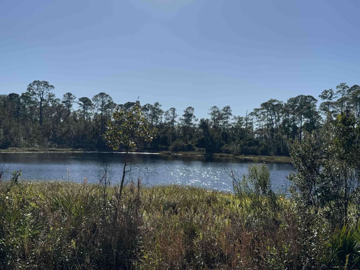
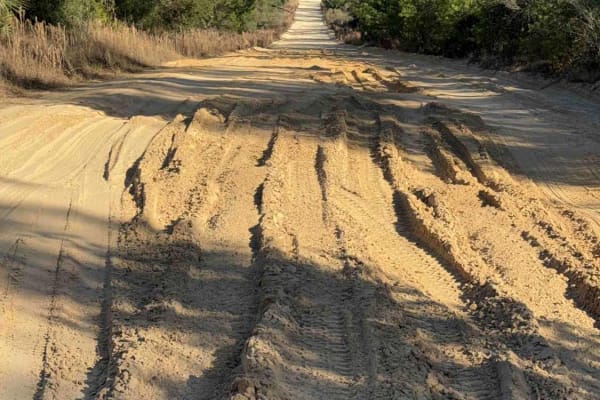
The Fort Gates Ferry Road, also known as Ocala National Forest Road 29, starts at Highway 19 at the west end and ends in Fort Gates at the St. Johns River in the north part of the Ocala National Forest. The trail gives you access to a boat ramp at the St. Johns River and used to be the take-off for the Johns Ferry. The road conditions are a mixture of packed sand, loose sand, and some deep holes that can turn into 2 feet deep mud holes after rainy days. The road is always wide enough for two vehicles to pass. 4WD and high clearance are recommended. All vehicles must be street-legal. Ocala National Forest is in Florida, north of Orlando. It's known for its large areas of sand pine scrub forest. The Juniper Springs, Alexander Springs, and Salt Springs recreation areas have natural pools and canoe runs. Hundreds of lakes and ponds include Lake Kerr and the enormous Lake George.

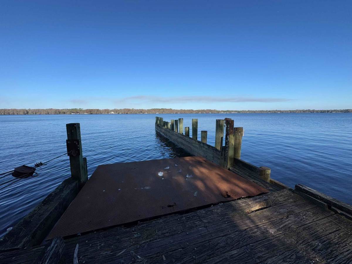
Photos of Fort Gates Ferry Road - ONF 29

Difficulty

Drive with caution, some potholes are unexpectedly deep.

Technical Rating

3

Status Reports

Add Status Report
peter s
Apr 20, 2025
2023 Jeep Gladiator
Open
NormalDusty
Grated dirt Road slightly rutted. Extremely dusty as we’ve had no rain in a significant amount of time. Did see some wildlife.

Fort Gates Ferry Road - ONF 29 Trail can be accessed by the following ride types:

  • Single Track
  • 50 Inch
  • 60 Inch
  • High Clearance
  • Full Width

Fort Gates Ferry Road - ONF 29 Map

The onX Offroad Difference

onX Offroad combines trail photos, descriptions, difficulty ratings, width restrictions, seasonality, and more in a user-friendly interface. Available on all devices, with offline access and full compatibility with CarPlay and Android Auto. Discover what you're missing today!

Open Trail Map