Trail Overview
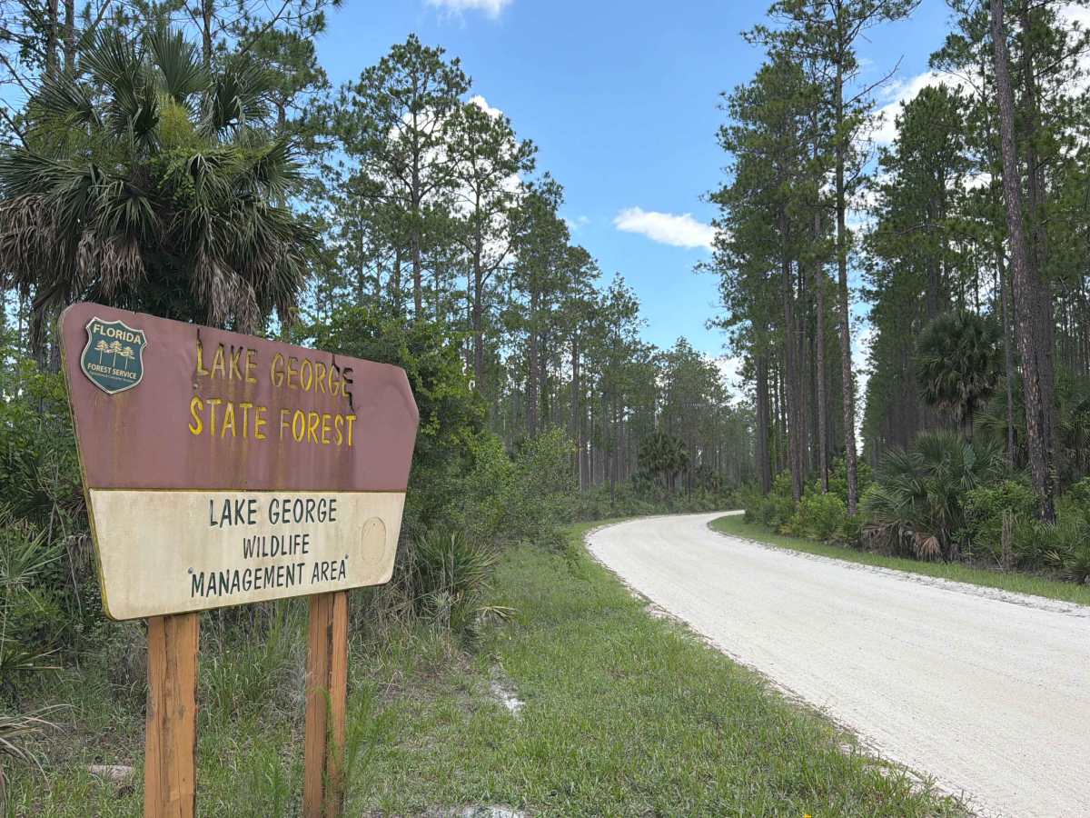
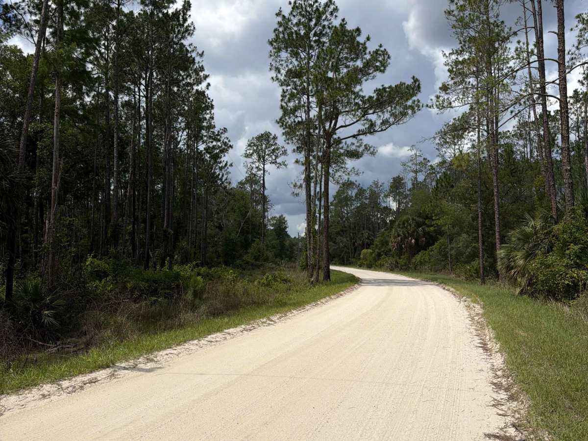
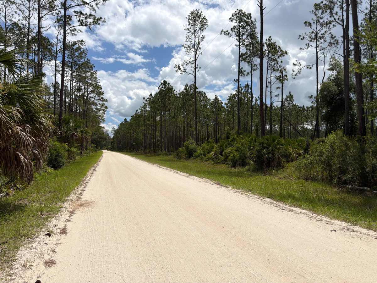
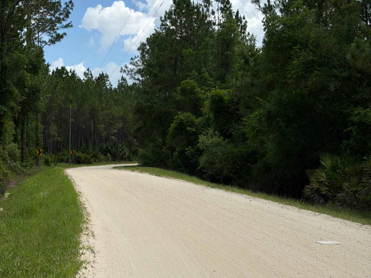
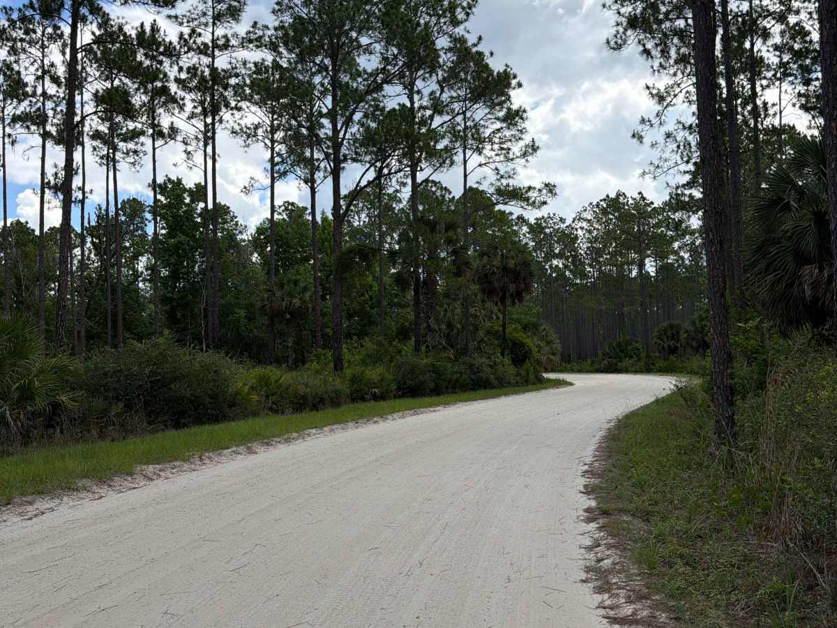
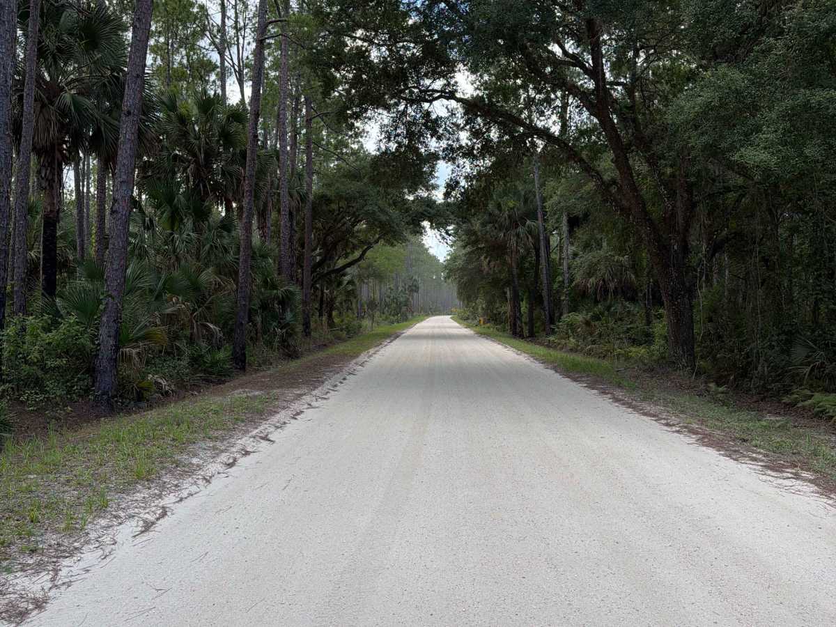
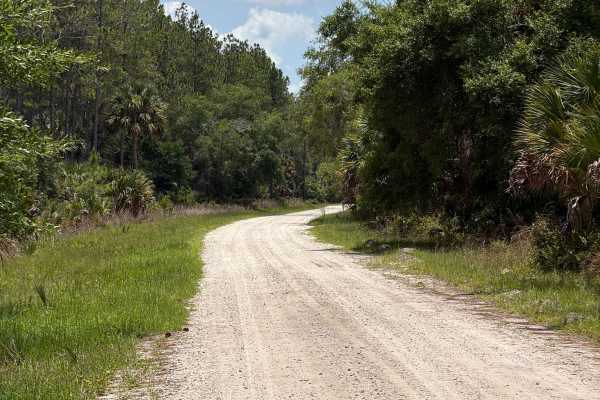
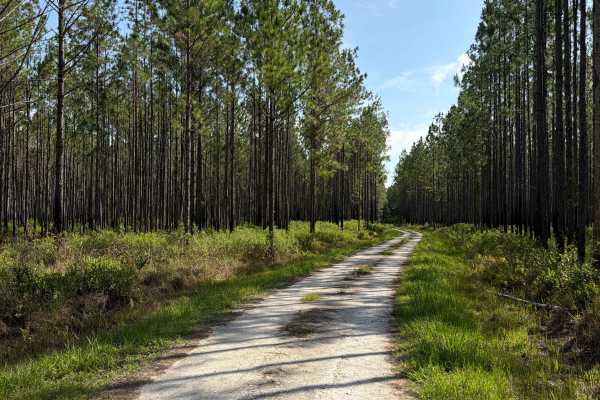
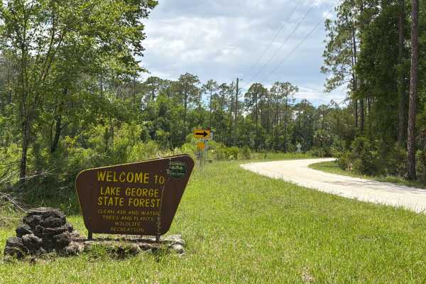
Riley Pridgeon takes you from north to south through the Astor Tract in the north part of Lake George State Forest and connects State Road 40 and Shell Harbor. The road gives you access to several trails in the area. It's a well-maintained road that's always wide enough for two vehicles to pass. Off-Highway Vehicles (OHVs) are only permitted in designated areas and require proper titling and a State Forest OHV Permit. Please be aware that the cellphone reception is weak. Lake George State Forest is part of an extensive wildlife corridor that provides a crucial habitat and roaming area for the survival of the area's Florida black bear population. Lake George State Forest is one of several publicly owned tracts of land encircling Lake George, the second-largest lake in Florida. The St. Johns River borders 3.5 miles of the forest and provides a wealth of ecologically valuable communities as well as river-based recreation. The forest contributes to water resource protection of the Lake George watershed and aquifer recharge. Wildlife found in the forest includes the bald eagle, sandhill crane, white-tailed deer, wild turkey, and bobcat. A Daypass or Annual Pass is required.
History
The Bluffton Mound and Midden at the Bluffton Recreation Area illustrate the rich archaeological history of the St. Johns River and Lake George area. For thousands of years, indigenous peoples inhabited the area. Explorers in the 18th and 19th centuries first noticed the large mounds of freshwater shellfish left by these early inhabitants. Later, the shell mounds attracted some of Florida's earliest archaeologists. Today, little remains of the mounds because most were excavated for road-building materials.