
Beginner Off-Road Trails
Near Cotton City, New Mexico
Explore All Beginner Trails Near Cotton City, New Mexico
Beginner Off-Road Trails Near Cotton City, New Mexico
Discover the best beginner-friendly off-road trails near you. These easier, lower-rated trails are a great place to start — browse trail maps, check difficulty ratings, and find your next adventure.
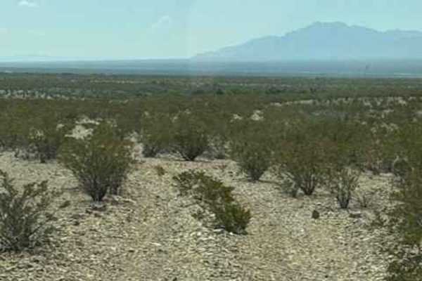
SS1170 - Part B
SS1170 was originally a loop trail; however they can no longer be run as a loop. Only 2 sections have access from the north side of the train tracks, and you can only access them from SS1169. Over the track, access has been removed by the Union Pacific Railroad, and erosion has removed access under ...
Learn more about SS1170 - Part B
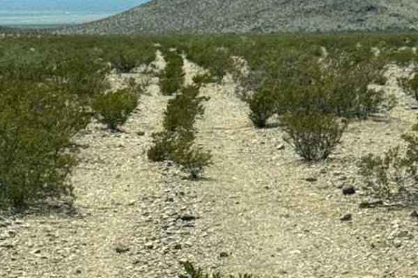
Ss1170 Part A
SS1170 section A is a natural 2 track running across the desert. Surrounded by a difficult-to-see trail. This trail is quickly disappearing back into nature. Eventually, this trail drops into a high, eroded wash and turns left to navigate around the mountain. One small section of dirt bike trail goe...
Learn more about Ss1170 Part A
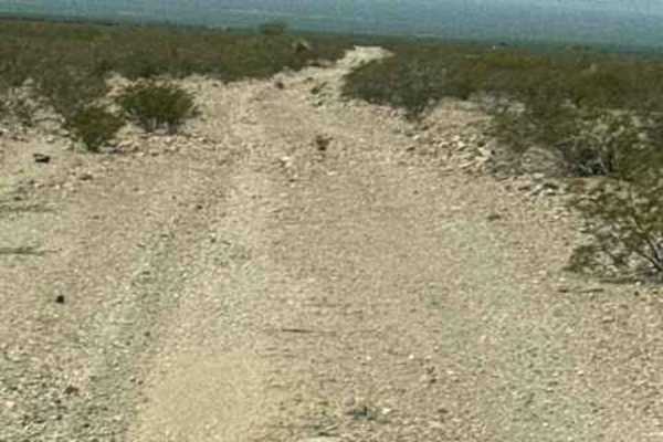
SS1169
SS1169 starts at the end of SS1167; the trail heads southwest before curving to the west. The route is a wide gravel trail with plenty of bumps, loose rock, and numerous whoops. A couple of the larger transitions can do damage if you are going too fast and not paying attention. The trail passes thro...
Learn more about SS1169
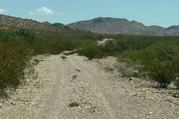
SS1168
Ss1168 runs east/west through Powers Canyon. The trail has several washouts and ruts; watch your speed. Trail starts at the intersection of Ss1167 and Ss1169. It crosses a very wide wash impassable in wet conditions. Potential Flash flood area. After the wash, there is a section of private property;...
Learn more about SS1168
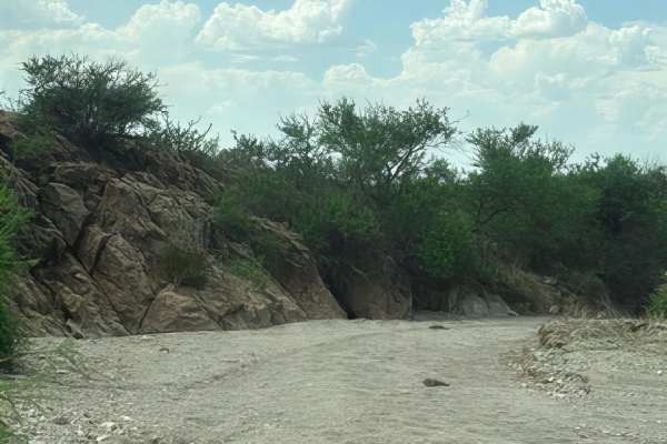
Ss1161
SS1161 is a point-to-point trail that starts at the end of SS1162 at the top of the wash. This quickly drops into a wide 2-track wash that has overgrown sections and follows the South side of the Wilderness area. Stay on the trail; no motorized use north of the trail. It will S-curve through the was...
Learn more about Ss1161
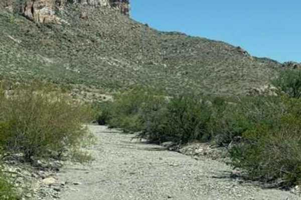
SS1167
SS1167 is a north-south trail that runs along the outskirts of the Peloncillo Mountains Wilderness Area. Stay on the designated trail; the wilderness area is to the west and is closed to motorized travel.
The northern section follows a rocky wash with a few narrow areas and several small rock garden...
Learn more about SS1167
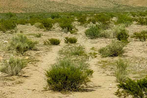
SS1160
SS1160 is an out-and-back trail beginning off S1127 and traveling northeast toward the Wilderness area. This is a very natural, faint two-track that crosses open desert terrain and includes several natural drainage and wash transitions. These are fun, not technical, but more of a hunt to find where ...
Learn more about SS1160
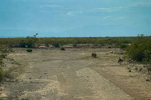
SS1156
Ss1156 is a point-to-point wash trail around the base of Gold Hill. This trail travels east and west from Ss1127 to Ss1155. The trail is bumpy, with thick sections of loose 6-12” rocks; it is lined with desert landscape to the north. The trail follows the base of the mountain. No obstacles, nothing ...
Learn more about SS1156
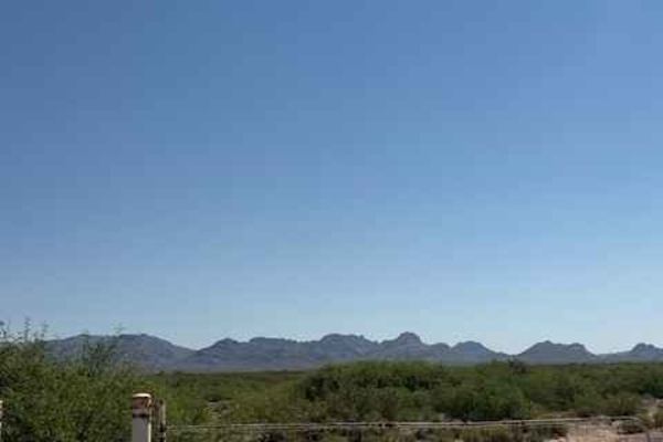
SS1149
SS1149 is a difficult trail to find once you find it off SS1158A; then the next task is to get the knot undone to open the gate closed. Keep the gate closed if you accomplish the knot. This is a sandy trail, not deep, but sand. You will head east on a natural trail across the desert. Full of desert ...
Learn more about SS1149
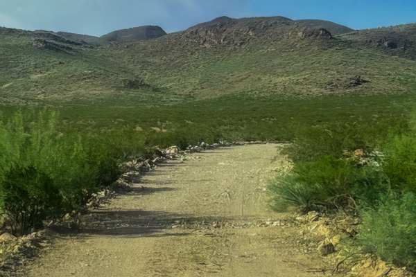
Ss1126
Trail SS1126 starts off SS1127 on open private property at the livestock tank. Use caution; livestock are around. Go through the unlocked red gate, cross to the other corner to get back to the BLM trail. This is a wide gravel trail with a rock berm that takes you to the base of the mountain to anoth...
Learn more about Ss1126
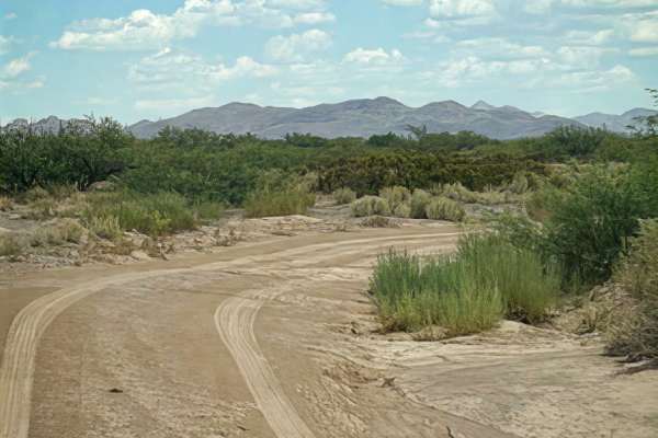
SS1157
SS1157 begins at the entrance to Ss1158a and follows a wide, smooth two-track through the desert. The trail surface is primarily sand and gravel, with tall desert creosote lining both sides. Most of the route is smooth and easy; there are several unexpected water-drainage transitions that can be muc...
Learn more about SS1157
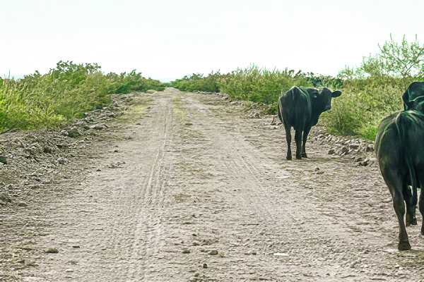
SS1127G
SS1127G is a wide, easy track at the base of the mountains, making it a great route for exploring the surrounding area. This out-and-back trail begins at SS1127. The endpoint connects to a no-motorized-use trail, so vehicle travel ends here.
At the feeding trough, the trail turns southeast and becom...
Learn more about SS1127G
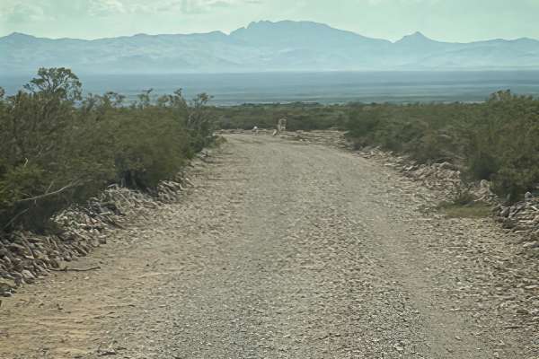
Ss1155
Ss1155 starts at the intersection of Ss1157 or at Ss1127; this is another great connector trail to Gold Hill or the wilderness area in the mountains. It is a wide, 2-lane trail used frequently, an out-and-back trail lined with desert creosote, mesquite, and a few barrel cacti and Yucca. The trail ru...
Learn more about Ss1155
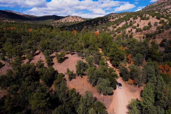
Chiricahua Byway
The Chiricahua Byway is an easy forest trail that takes you across the highest "Sky Island" district in Arizona. This trail provides incredible views of the Sonoran Desert, Mexico, New Mexico, and southern Arizona. There are ample camping spots all along this route from paid sites with toilets to pr...
Learn more about Chiricahua Byway
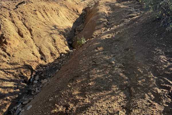
Peterson Canyon
There is a Forest Service gate at the beginning of the trail; it is not locked, just chained. Once you undo the chain, you'll drive in and close the gate behind you. Once on public land, the trail is extremely narrow. If you're worried about pinstripes, this trail is not for you. After the first mil...
Learn more about Peterson Canyon
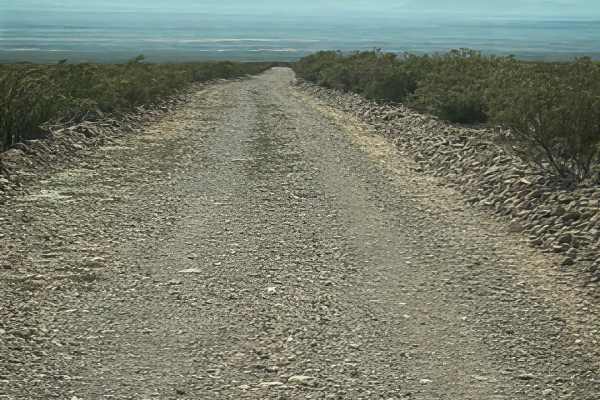
Ss1127
Trail SS1127 starts south of SS1149, crosses over, and heads north. This is a wide, 2-lane point-to-point trail, bumpy but manageable. Rock berms on both sides; you will pass through a cattle guard. The trail is surrounded by the Peloncillo Mountains to the north. Look up at Gold Hill to see the ar...
Learn more about Ss1127
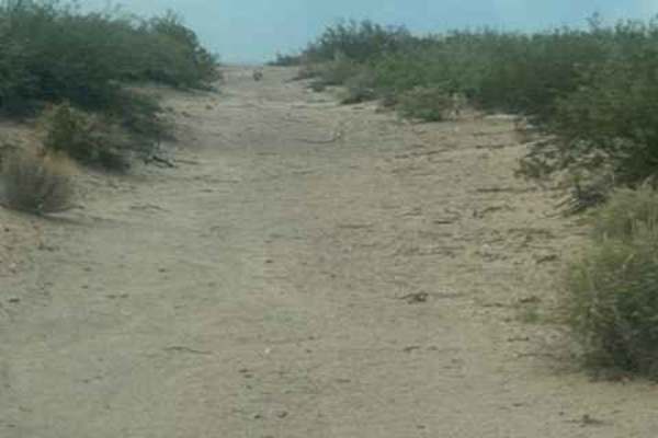
SS1130
SS1130 begins off SS1123 and goes north and south. This is a natural trail and turns into sand; there are lots of ruts and wash-out sections. Watch your speed. Winds through sandy desert terrain. 4WD high clearance needed; sand is deep in some sections. It follows the fence line; could become impass...
Learn more about SS1130
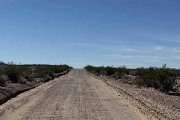
County Line Road
County Line Road is a point-to-point route running between Ss1050 to the east and SS1178. The main section is a wide gravel road that is easy for any vehicle, though it may become muddy in wet weather—use caution. The trail is lined with desert creosote and a berm and passes Haekel Road. Beyond this...
Learn more about County Line Road
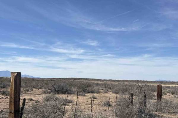
Ss1134
Trail Ss1134 starts at a gate off County Line Road. It is now an out-and-back trail. Keep the gate closed. The trail is gravel and sand, and lined with desert creosote. Driving north, you have a Stunning view of Javelina Peak. Several washouts have big ruts. Watch your speed. The ground is hard grav...
Learn more about Ss1134
SS1137
SS1137 is a point-to-point trail that begins off SS1050 and ends at the San Simon Dam Drop Structure. The trail follows an easy sand 2-track, makes a hard right at the fence, climbs over a small hill, then makes a hard left before reaching a gate. Keep the gate closed. Beyond the gate, the trail bec...
Learn more about SS1137
Beginner ATV trails near Cotton City, New Mexico
Explore ATV-friendly trails near you. These trails are accessible for vehicles up to 50 inches wide, perfect for ATVs and smaller off-road machines.
SS1170 - Part B
SS1170 was originally a loop trail; however they can no longer be run as a loop. Only 2 sections have access from the north side of the train tracks, and you can only access them from SS1169. Over the track, access has been removed by the Union Pacific Railroad, and erosion has removed access under ...
Learn more about SS1170 - Part B
Ss1170 Part A
SS1170 section A is a natural 2 track running across the desert. Surrounded by a difficult-to-see trail. This trail is quickly disappearing back into nature. Eventually, this trail drops into a high, eroded wash and turns left to navigate around the mountain. One small section of dirt bike trail goe...
Learn more about Ss1170 Part A
SS1169
SS1169 starts at the end of SS1167; the trail heads southwest before curving to the west. The route is a wide gravel trail with plenty of bumps, loose rock, and numerous whoops. A couple of the larger transitions can do damage if you are going too fast and not paying attention. The trail passes thro...
Learn more about SS1169
SS1168
Ss1168 runs east/west through Powers Canyon. The trail has several washouts and ruts; watch your speed. Trail starts at the intersection of Ss1167 and Ss1169. It crosses a very wide wash impassable in wet conditions. Potential Flash flood area. After the wash, there is a section of private property;...
Learn more about SS1168
Beginner UTV/side-by-side trails near Cotton City, New Mexico
Find UTV and side-by-side trails near you. These trails accommodate vehicles up to 60 inches wide, ideal for UTVs, side-by-sides, and wider off-road rigs.
SS1170 - Part B
SS1170 was originally a loop trail; however they can no longer be run as a loop. Only 2 sections have access from the north side of the train tracks, and you can only access them from SS1169. Over the track, access has been removed by the Union Pacific Railroad, and erosion has removed access under ...
Learn more about SS1170 - Part B
Ss1170 Part A
SS1170 section A is a natural 2 track running across the desert. Surrounded by a difficult-to-see trail. This trail is quickly disappearing back into nature. Eventually, this trail drops into a high, eroded wash and turns left to navigate around the mountain. One small section of dirt bike trail goe...
Learn more about Ss1170 Part A
SS1169
SS1169 starts at the end of SS1167; the trail heads southwest before curving to the west. The route is a wide gravel trail with plenty of bumps, loose rock, and numerous whoops. A couple of the larger transitions can do damage if you are going too fast and not paying attention. The trail passes thro...
Learn more about SS1169
SS1168
Ss1168 runs east/west through Powers Canyon. The trail has several washouts and ruts; watch your speed. Trail starts at the intersection of Ss1167 and Ss1169. It crosses a very wide wash impassable in wet conditions. Potential Flash flood area. After the wash, there is a section of private property;...
Learn more about SS1168
The onX Offroad Difference
onX Offroad combines trail photos, descriptions, difficulty ratings, width restrictions, seasonality, and more in a user-friendly interface. Available on all devices, with offline access and full compatibility with CarPlay and Android Auto. Discover what you're missing today!
Open Trail Map