
Beginner Off-Road Trails
Near Corsica, Pennsylvania
Explore All Beginner Trails Near Corsica, Pennsylvania
Beginner Off-Road Trails Near Corsica, Pennsylvania
Discover the best beginner-friendly off-road trails near you. These easier, lower-rated trails are a great place to start — browse trail maps, check difficulty ratings, and find your next adventure.
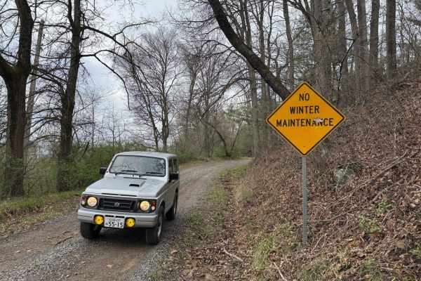
Rock Pit Road
This is a rough dirt/gravel single lane road that varies in difficulty with the season and maintenance. After storms, the road gets very rutted out but is sometimes graded. There is a nice view from the top. The road connects to the piney rail trail for SXSs, but this road is open to vehicles as we...
Learn more about Rock Pit Road
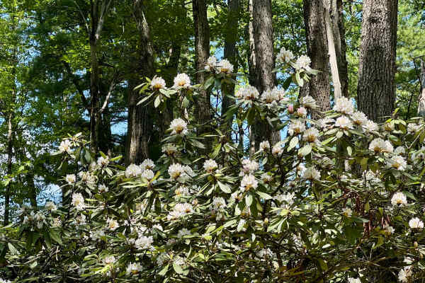
Spring Creek Rd
This forest road is the unpaved connector between the western and eastern parts of the Clear Creek & Callen Run tract of Clear Creek State Forest. It connects to PA 949 at either end. Though this featured route ends at the boundary for State Game Land 54 on the eastern end, it does go through. The L...
Learn more about Spring Creek Rd
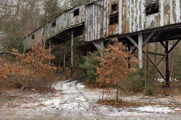
Piney Rail Trail
Please Note: A Piney Rail Riders membership or day pass is required to drive this trail. The trail is designated for dirt bikes, quads, trikes, side by sides, argos, snowmobiles, horses, dual sport bikes, and go karts. Trucks, jeeps, and vehicles designed for on-road driving that are converted for o...
Learn more about Piney Rail Trail
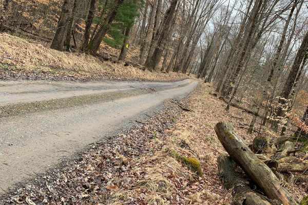
Dark Hollow
Accessible from Route 899 and Blue Ridge Road, this graded gravel/dirt road enters the Allegheny National Forest with a steep descent into the Clarion River Valley. A very short section of River Road follows along the banks of the Clarion River before changing to Millstone Creek Road. This section ...
Learn more about Dark Hollow
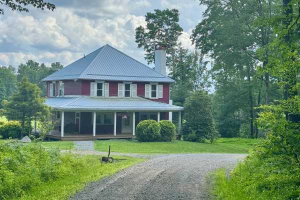
McNeil Station Road
This is a nice route with some gentle elevation changes, and it also features a good motorized campsite (reservation required). Combine this road with any of the other forest roads in this state forest tract for a peaceful and relaxing tour of this area south of the Clarion River. There are two quai...
Learn more about McNeil Station Road
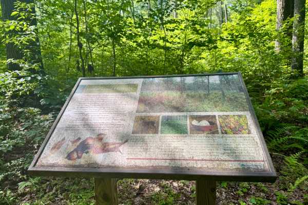
Clear Run Road
This trail connects the unpaved Jimtown Road to the west with Firetower Road to the east, both located within the state forest. Two designated drive-in campsites are available along the route; reservations are required through the Pennsylvania State Park website. Near the eastern end, an interpretiv...
Learn more about Clear Run Road
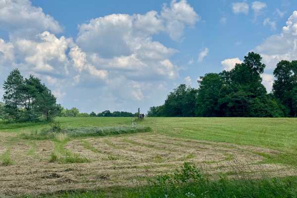
Firetower Road
From the rolling fields to the south to the forest on the north end, this is a very pleasant unpaved road. If coming from Interstate 80, this may be how you enter this forest, especially if camping in this tract. Get gas before heading into the forest this way. The Love's truck stop off Interstate 8...
Learn more about Firetower Road
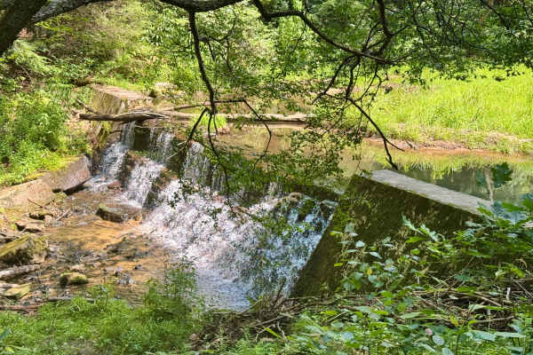
Callen Run Road
This is a scenic and remote trail. Combined with some of the other local trails and attractions, this is a very nice ride. At the north end, there's access to the Clarion River, and to the south, it connects to two other forest roads in Clear Creek State Forest. There is a nice little dam on the Cal...
Learn more about Callen Run Road

Laurel Run - FS 166
Forest Service Road 166 (FS 166) in the Allegheny National Forest is a 2.39-mile seasonal, maintained route accessible for high-clearance vehicles. Road class is not specified. Snow was around 12 to 15 inches deep. Made for fun and slippery travel. Check for Trail updates on road surface updates. It...
Learn more about Laurel Run - FS 166
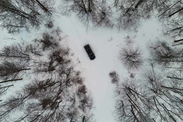
Log Run - FS 591
Forest Service Road 591 (FS 591) in the Allegheny National Forest is a 2.57-mile seasonal, maintained route accessible for high-clearance vehicles. Road class is not specified. Snow was around 12 to 15 inches deep. Made for fun and slippery travel. Check for Trail updates on road surface updates. It...
Learn more about Log Run - FS 591
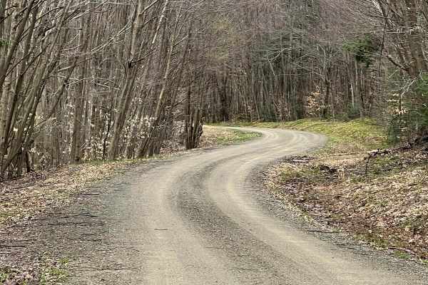
FR228 - Zimmerman Fire Tower
Zimmerman Fire Tower Road is a graded dirt/gravel track through the Allegheny National Forest. The tower was removed in the 1990s but the location is still evident. The route is flat to gently rolling with open woods and multiple close-running streams, providing a variety of woodland scenery. Hardwo...
Learn more about FR228 - Zimmerman Fire Tower
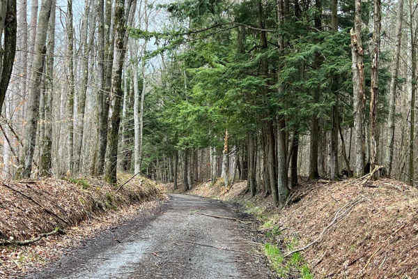
FR131
This is a narrow, dirt to gravel road that is not very well traveled. There are several places that have high banks on either side, allowing only one vehicle to pass safely. The track is generally flat and is scattered with fallen trees and branches. There are a couple of good camping locations with...
Learn more about FR131

Whitey Cove
Whitey Cove is a very tight entry due to trees growing tightly along the sides that lead back to a secluded camping spot in the forest. The road is very crude, bumpy, and narrow. You could fit possibly 2 vehicles back at the end. Camping during the summer, no one would see you back at the end of Whi...
Learn more about Whitey Cove
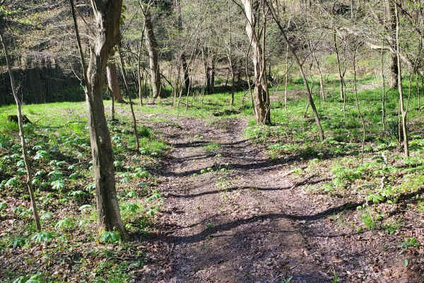
37
This is a standard green (easy) dirt and rock trail that is suitable for all vehicle types. It is mostly loose dirt and slight hills, but nothing major. It can get a little slick when it rains. It is mostly gravel, dirt rocks, and some small ruts. There are slight hill climbs and it's wide enough fo...
Learn more about 37
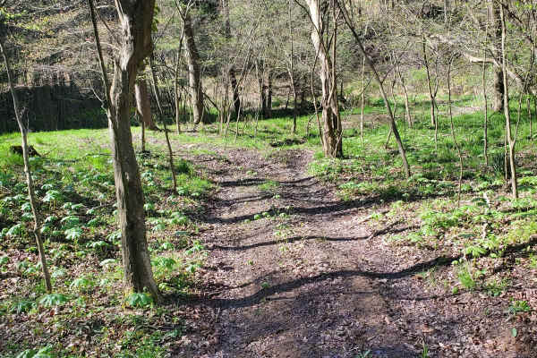
59
This is a standard green (easy) dirt and rock trail that is suitable for all vehicle types. It is mostly loose dirt and slight hills, but nothing major. It can get a little slick when it rains. It is mostly gravel, dirt rocks, and some small ruts. There are slight hill climbs and it's wide enough fo...
Learn more about 59
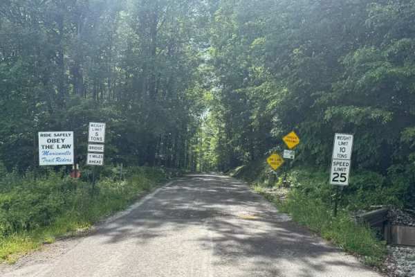
Cross PA Adventure Trail - FS 85110
Cross PA Adventure Trail (FS 85110) starts just outside of Marienville. It is a dirt surface road. It has a scenic view. There are narrow single lane bridge that goes over a mountain stream. There are mud holes and soft dirt spots on this road. There are spots where there are larger rocks in the sur...
Learn more about Cross PA Adventure Trail - FS 85110
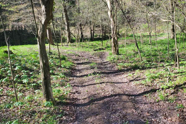
To Stair Steps
This is a standard green (easy) dirt and rock trail that is suitable for all vehicle types. It is mostly loose dirt and slight hills, but nothing major. It can get a little slick when it rains. It is mostly gravel, dirt rocks, and some small ruts. There are slight hill climbs and it's wide enough fo...
Learn more about To Stair Steps

Lamonaville Road - FS 85302
Lamonaville Road FSR 85302 Forest Service Road 85302 (FSR 85302) in the Allegheny National Forest is a designated, maintained route accessible for motorized travel. It is part of the extensive road network managed for scenic driving, recreation, and resource access within Pennsylvania's only nationa...
Learn more about Lamonaville Road - FS 85302
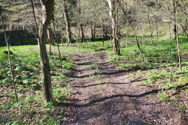
42
This is a standard green (easy) dirt and rock trail with 2-way traffic. It's suitable for all vehicle types. It has mostly loose dirt and slight hills and is wooded with good scenery. It can get a little slick when it rains. Expect mostly gravel, dirt rocks, and some small ruts. There are slight hil...
Learn more about 42
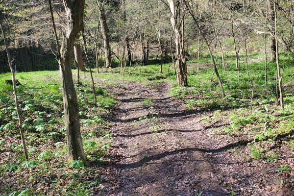
35
This is a standard green (easy) dirt and rock trail that is suitable for all vehicle types. It is mostly loose dirt and slight hills, but nothing major. It can get a little slick when it rains. It is mostly gravel, dirt rocks, and some small ruts. There are slight hill climbs and it's wide enough fo...
Learn more about 35
Beginner ATV trails near Corsica, Pennsylvania
Explore ATV-friendly trails near you. These trails are accessible for vehicles up to 50 inches wide, perfect for ATVs and smaller off-road machines.
Rock Pit Road
This is a rough dirt/gravel single lane road that varies in difficulty with the season and maintenance. After storms, the road gets very rutted out but is sometimes graded. There is a nice view from the top. The road connects to the piney rail trail for SXSs, but this road is open to vehicles as we...
Learn more about Rock Pit Road
Spring Creek Rd
This forest road is the unpaved connector between the western and eastern parts of the Clear Creek & Callen Run tract of Clear Creek State Forest. It connects to PA 949 at either end. Though this featured route ends at the boundary for State Game Land 54 on the eastern end, it does go through. The L...
Learn more about Spring Creek Rd
Piney Rail Trail
Please Note: A Piney Rail Riders membership or day pass is required to drive this trail. The trail is designated for dirt bikes, quads, trikes, side by sides, argos, snowmobiles, horses, dual sport bikes, and go karts. Trucks, jeeps, and vehicles designed for on-road driving that are converted for o...
Learn more about Piney Rail Trail
Firetower Road
From the rolling fields to the south to the forest on the north end, this is a very pleasant unpaved road. If coming from Interstate 80, this may be how you enter this forest, especially if camping in this tract. Get gas before heading into the forest this way. The Love's truck stop off Interstate 8...
Learn more about Firetower Road
Beginner UTV/side-by-side trails near Corsica, Pennsylvania
Find UTV and side-by-side trails near you. These trails accommodate vehicles up to 60 inches wide, ideal for UTVs, side-by-sides, and wider off-road rigs.
Rock Pit Road
This is a rough dirt/gravel single lane road that varies in difficulty with the season and maintenance. After storms, the road gets very rutted out but is sometimes graded. There is a nice view from the top. The road connects to the piney rail trail for SXSs, but this road is open to vehicles as we...
Learn more about Rock Pit Road
Spring Creek Rd
This forest road is the unpaved connector between the western and eastern parts of the Clear Creek & Callen Run tract of Clear Creek State Forest. It connects to PA 949 at either end. Though this featured route ends at the boundary for State Game Land 54 on the eastern end, it does go through. The L...
Learn more about Spring Creek Rd
Piney Rail Trail
Please Note: A Piney Rail Riders membership or day pass is required to drive this trail. The trail is designated for dirt bikes, quads, trikes, side by sides, argos, snowmobiles, horses, dual sport bikes, and go karts. Trucks, jeeps, and vehicles designed for on-road driving that are converted for o...
Learn more about Piney Rail Trail
Firetower Road
From the rolling fields to the south to the forest on the north end, this is a very pleasant unpaved road. If coming from Interstate 80, this may be how you enter this forest, especially if camping in this tract. Get gas before heading into the forest this way. The Love's truck stop off Interstate 8...
Learn more about Firetower Road
The onX Offroad Difference
onX Offroad combines trail photos, descriptions, difficulty ratings, width restrictions, seasonality, and more in a user-friendly interface. Available on all devices, with offline access and full compatibility with CarPlay and Android Auto. Discover what you're missing today!
Open Trail Map