
Beginner Off-Road Trails
Near Continental Courts, Pennsylvania
Explore All Beginner Trails Near Continental Courts, Pennsylvania
Beginner Off-Road Trails Near Continental Courts, Pennsylvania
Discover the best beginner-friendly off-road trails near you. These easier, lower-rated trails are a great place to start — browse trail maps, check difficulty ratings, and find your next adventure.
Governor's Trail
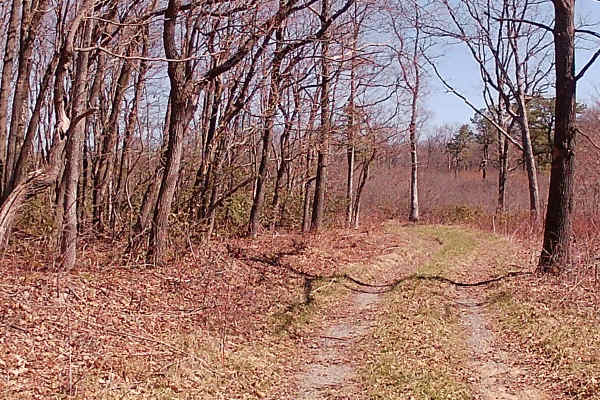
Governor's Trail is a short spur trail directly off of a previously OnX offroad mapped trail called Governor's Run Road. This interesting part of this trail is slightly off camber and mainly dirt with ruts. It is a tight trail with low-lying brush and saplings. It is an up-and-back trail with an are...
Learn more about Governor's Trail
Tram Road
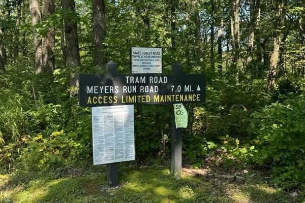
This is an easy ride through Moshannon State Forest with some thick forest and openings with great views of the mountains. This road is mainly gravel, with a few slightly washed-out areas, and the last mile is hard compacted rock. This road ends at an intersection, to the left is a gravel road that ...
Learn more about Tram Road
Rock Run Lane
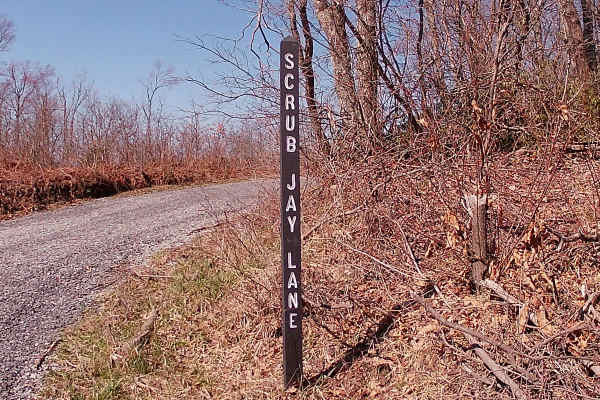
Rock Run Lane is a typical state forest graded gravel, with the last 1/3 being dirt and more rutted. It is an up-and-back trail and runs to private property with a gate. This trail has plenty of parking spaces, given 3 separate locations and a few hiking trails. There is not much in the way of big t...
Learn more about Rock Run Lane
Underwood Road
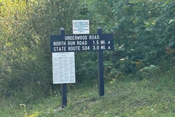
Underwood Road is an easy mountain road that is well-maintained and the surface consists of gravel the entire way. This road is great for people new to off-roading and looking to explore an easy mountain road. Spotted with a few hunting camps along the way, there are multiple pull-offs with hiking t...
Learn more about Underwood Road
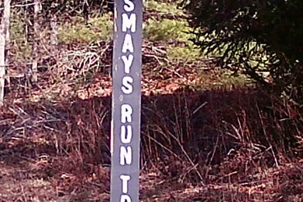
Smays Run Trail
Smays Run Trail is a typical state forest graded gravel trail within Moshannon State Forest. It is up and back and crosses North Run Road. It is a dual sport trail allowing Snowmobiles on the trail in the winter months. It is covered by heavy Pines within sections of the trail. This trail is open to...
Learn more about Smays Run Trail
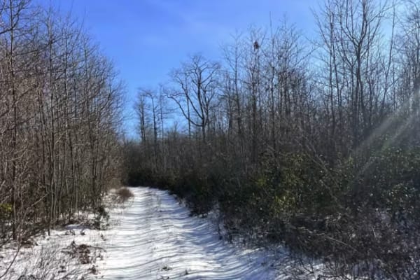
Steele Top Trail
Steele Top Trail is a seasonal access road because it must be accessed off another seasonal access trail, Shirk's Run Trail. Typical open times are from approximately 2 weeks before Thanksgiving to Christmas, though if the gate is open, it's accessible! The trail is rutted and hilly, though not part...
Learn more about Steele Top Trail
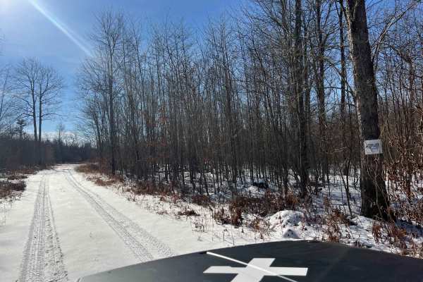
Shirk's Run Trail
Shirk's Run Trail is a seasonal access road. Typical open times are from approximately 2 weeks before Thanksgiving to Christmas, though if the gate is open, it's accessible! The trail surface is dirt and rock, with several grassy clearings along the route. Towards the end of the trail, it gets rutte...
Learn more about Shirk's Run Trail
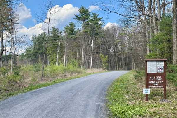
Greens Valley Road
A standard out-and-back gravel Pennsylvania state forest road. It is scenic and peaceful. During the fall and early winter, the gate at the end of this road is open, giving access to an additional mile of forest road, but beyond that, the bridge is out and is unlikely to be replaced. This road offer...
Learn more about Greens Valley Road
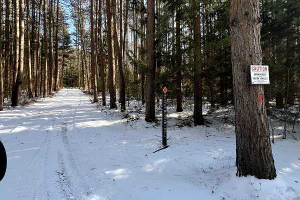
Beaver Meadow Trail
Beaver Meadow Trail is a joint-use snowmobile and motor vehicle trail that leads past a few cabins and connects to a few other seasonal access roads. Beginning from Strawband Beaver Road, the trail is beautifully lined with tall evergreens. The trail surface is dirt, but it is well-maintained. Acces...
Learn more about Beaver Meadow Trail
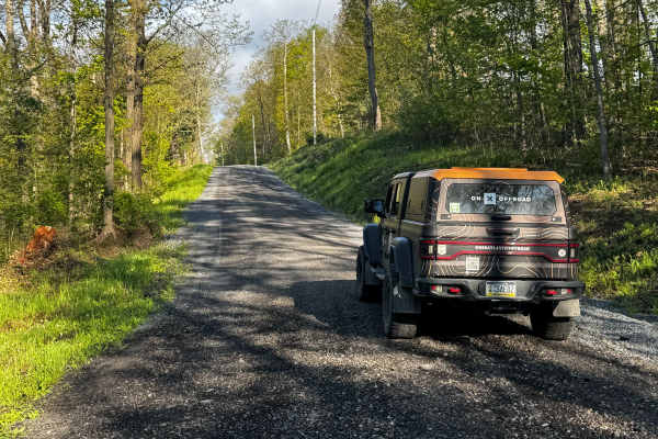
Devils Elbow Road
Devils Elbow Road is primarily a graded gravel road. It is an easy ride in the summer months; however, there is no winter maintenance. During times of rain, snow, and ice, the road can become rutted and harder to travel on. Devils Elbow Road is located between Sproul and Moshannon State Forests and ...
Learn more about Devils Elbow Road
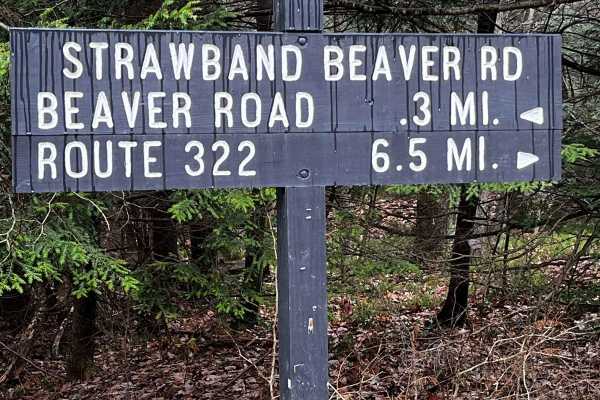
Strawband Beaver Road
This is a very well-maintained gravel, mostly one-car-width road through Moshannon State Forest. Along the route, you will find many different types of trees and wildlife. There are plenty of spots along the road to pull over. There is a lot of traffic during the hunting season.
Learn more about Strawband Beaver Road
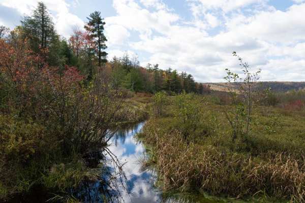
Bear Meadows Road
Bear Meadows Road is a well-maintained gravel trail through Rothrock State Forest. The trail passes along the Bear Meadows Natural Area before climbing to a ridge and descending to Alan Seeger Natural Area. The trail passes multiple hiking trailheads, private cabins, and other off-road trails as it ...
Learn more about Bear Meadows Road
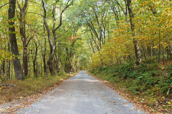
Laurel Run Road
Laurel Run Road is a well-maintained gravel trail through Rothrock State Forest. The trail climbs a series of switchbacks to a ridge before descending and entering Whipple Dam State Park. The trail passes multiple hiking trailheads, private cabins, and other off-road trails as it traverses a forest ...
Learn more about Laurel Run Road
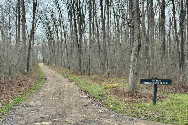
Dug Road
Dug Road is a minimally maintained forest service road in Moshannon State Forest. It is noteworthy for its elevation change between its high point on the Allegheny Front at over 2100 feet, and its low point about 500 feet below over the course of a mile of this forest service road's length. In the s...
Learn more about Dug Road
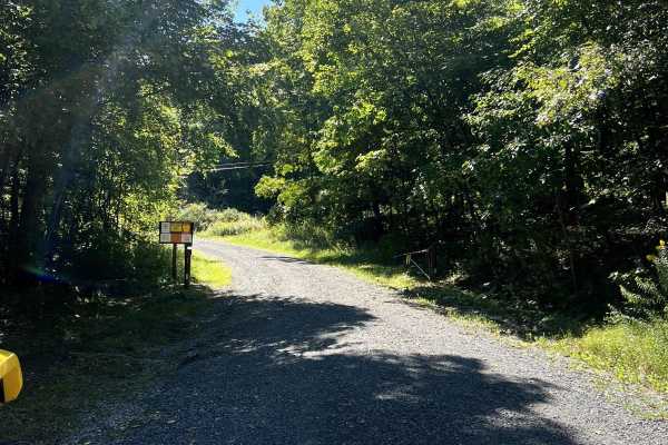
Governor's Run
A beautiful, easy gravel road ride with a fun little dirt two-track spur. The primary surface is a very well-groomed, 1- to 1.5-lane wide gravel road. There are numerous areas to pull over and get out to explore, picnic, or park for day-use. This is a great alternate route into Black Moshannon State...
Learn more about Governor's Run
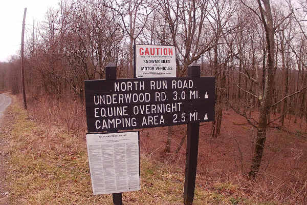
North Run Road
North Run Road is a typical state forest trail of graded gravel road and is an in-and-out trail. Entrance off of the Route 504 (Rattlesnake Pike) and exits at Underwood Road within Moshannon State Forest. There are 3-4 hiking trails off this route that are used in the winter months for snowmobile tr...
Learn more about North Run Road
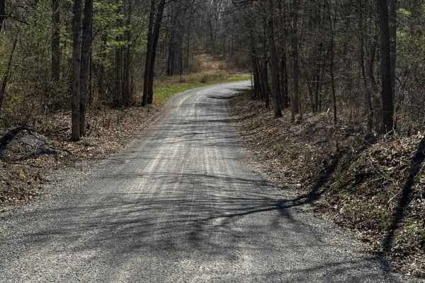
Hall Road
Hall Road is primarily a graded gravel road. It is an easy ride in the summer months; however, there is no winter maintenance. During times of rain, snow, and ice, the road can become rutted and harder to travel on. Hall Road is within Sproul State Forest. There are numerous spots to stop along this...
Learn more about Hall Road
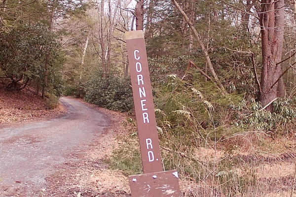
Corner Road
Corner Road is a typical graded gravel state forest road within Rothrock State Forest. The trail is up and back due to private land with a gate. The trailhead is off Bear Meadows Road. A flowing brook runs parallel to the trail. There are some hunting cabins set off from the trail. There is an abund...
Learn more about Corner Road
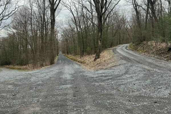
Kepler Road
This is an easy gravel mountain road through Rothrock State Forest. It can be accessed from Route 26 when first entering the State Forest, or from Colerain Picnic Area off Route 45. Numerous pull-offs and very thick forests add to this peaceful ride through the State Park.
Learn more about Kepler Road
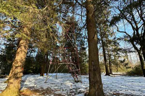
Little Flat Tower Road
Little Flat Tower Road is a newly designated out-and-back drivable trail in Bald Eagle State Forest. Even though it is a short drive, it leads to a beautiful historic cabin and fire tower. From the beginning at Laurel Run Road, it is a constant climb in elevation until you reach the end at the cabin...
Learn more about Little Flat Tower Road
Beginner ATV trails near Continental Courts, Pennsylvania
Explore ATV-friendly trails near you. These trails are accessible for vehicles up to 50 inches wide, perfect for ATVs and smaller off-road machines.
Strawband Beaver Road
This is a very well-maintained gravel, mostly one-car-width road through Moshannon State Forest. Along the route, you will find many different types of trees and wildlife. There are plenty of spots along the road to pull over. There is a lot of traffic during the hunting season.
Learn more about Strawband Beaver Road
Hall Road
Hall Road is primarily a graded gravel road. It is an easy ride in the summer months; however, there is no winter maintenance. During times of rain, snow, and ice, the road can become rutted and harder to travel on. Hall Road is within Sproul State Forest. There are numerous spots to stop along this...
Learn more about Hall Road
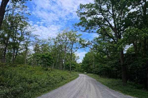
Huckleberry Road
This is a maintained gravel road taking you for an easy drive through Moshannon State Forest. Entering from the Casanova Road side will take you through the forest, passing a few pull-off areas and the Benner Run Vista overlook, eventually coming to a three-way intersection. From this intersection,...
Learn more about Huckleberry Road
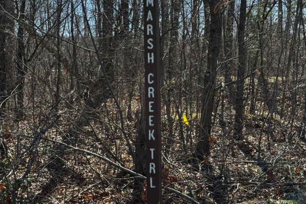
Marsh Creek Trail
Marsh Creek Trail is primarily a graded gravel road, with the southern end being dirt. It is an easy ride in the summer months; however, there is no winter maintenance. During times of rain, snow, and ice, the road can become rutted and harder to travel on. Marsh Creek Trail is within Sproul State F...
Learn more about Marsh Creek Trail
Beginner UTV/side-by-side trails near Continental Courts, Pennsylvania
Find UTV and side-by-side trails near you. These trails accommodate vehicles up to 60 inches wide, ideal for UTVs, side-by-sides, and wider off-road rigs.
Strawband Beaver Road
This is a very well-maintained gravel, mostly one-car-width road through Moshannon State Forest. Along the route, you will find many different types of trees and wildlife. There are plenty of spots along the road to pull over. There is a lot of traffic during the hunting season.
Learn more about Strawband Beaver Road
Hall Road
Hall Road is primarily a graded gravel road. It is an easy ride in the summer months; however, there is no winter maintenance. During times of rain, snow, and ice, the road can become rutted and harder to travel on. Hall Road is within Sproul State Forest. There are numerous spots to stop along this...
Learn more about Hall Road
Marsh Creek Trail
Marsh Creek Trail is primarily a graded gravel road, with the southern end being dirt. It is an easy ride in the summer months; however, there is no winter maintenance. During times of rain, snow, and ice, the road can become rutted and harder to travel on. Marsh Creek Trail is within Sproul State F...
Learn more about Marsh Creek Trail
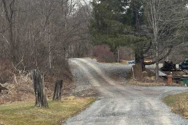
Kato Orviston Road
Kato Orviston Road is primarily a graded gravel road with some short dirt sections. It is an easy ride in the summer months; however, there is no winter maintenance. During times of rain, snow, and ice, the road will become rutted and harder to travel on. Kato Orviston Road is within Sproul State Fo...
Learn more about Kato Orviston Road
The onX Offroad Difference
onX Offroad combines trail photos, descriptions, difficulty ratings, width restrictions, seasonality, and more in a user-friendly interface. Available on all devices, with offline access and full compatibility with CarPlay and Android Auto. Discover what you're missing today!
Open Trail Map