
Beginner Off-Road Trails
Near Claysburg, Pennsylvania
Explore All Beginner Trails Near Claysburg, Pennsylvania
Beginner Off-Road Trails Near Claysburg, Pennsylvania
Discover the best beginner-friendly off-road trails near you. These easier, lower-rated trails are a great place to start — browse trail maps, check difficulty ratings, and find your next adventure.
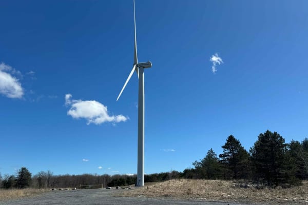
Old Bedford Pike Road
Off of Route 56, start on Mountain Road. As you start to climb the mountain, the road turns to dirt with a few washed-out areas but is easily traveled. Once you reach the top, there is a pull-off area that offers a great view of the valley. Continuing on the road, the area opens up and has an amazi...
Learn more about Old Bedford Pike Road
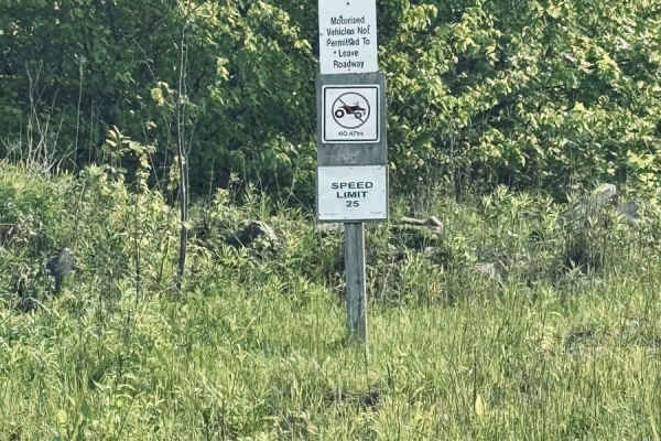
Babcock Trail
This is a small gravel state forest road/snowmobile trail through Gallitzin State Forest. There are numerous pull-off areas that offer great views of the valley and windmills. People also use these roads as hiking/walking areas, so be aware as you're coming around some of the sharp bends. This also ...
Learn more about Babcock Trail
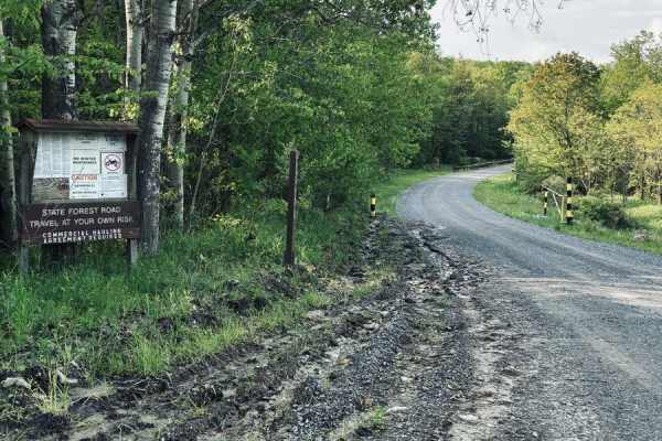
Strip Mine Road/Pot Ridge Road
This is a nontechnical gravel state forest road that provides an easy ride through Gallitzin State Forest. There are numerous branches off this road that will lead you to great views of the windmills, even right underneath them. There are also numerous hiking trail areas with small pull-off areas a...
Learn more about Strip Mine Road/Pot Ridge Road
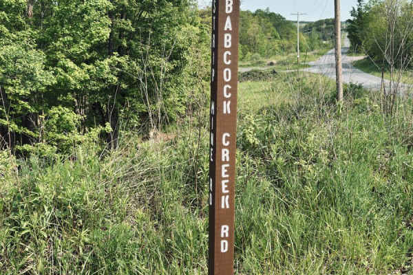
Babcock Circle Road
This is a state forest road through Gallitzin State Forest. This road is an easy gravel ride and can be accessed from Route 56 or off of Strip Mine Road. This road is lined with thick forest on both sides, with a few pull-offs for hiking. If accessing from the Strip Mine Road end, you will come out ...
Learn more about Babcock Circle Road
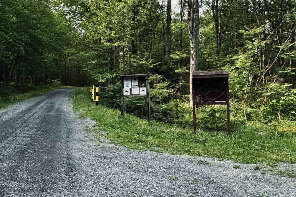
Clear Shade Road
This is a gravel state forest road through Gallitzin State Forest. This is a multi-purpose road as it is also used as Skiing trails in the winter. Large gravel parking area at the beginning of the Route 56 end, and the other end comes to a T intersection, both ways take you back to pavement. There i...
Learn more about Clear Shade Road
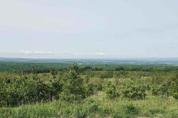
Wounded Warrior Road
This is a state forest road through Gallitzin State Forest. This road crosses over Strip Mine Road. The first half of this road is open and allows for great views of the valley. The second half of this road is single lane, lined with trees and vegetation, ending at a small turnaround. The second hal...
Learn more about Wounded Warrior Road
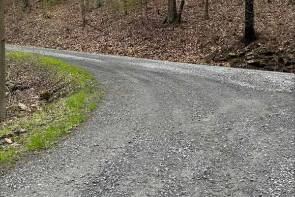
John Bum Road
This is an easy mountain road through Trough Creek State Park. The road is maintained gravel and offers a peaceful ride through the forest with numerous pull-off areas. Keep an eye out for wildlife when traveling the road, as both deer and wild turkeys may cross your path.
Learn more about John Bum Road
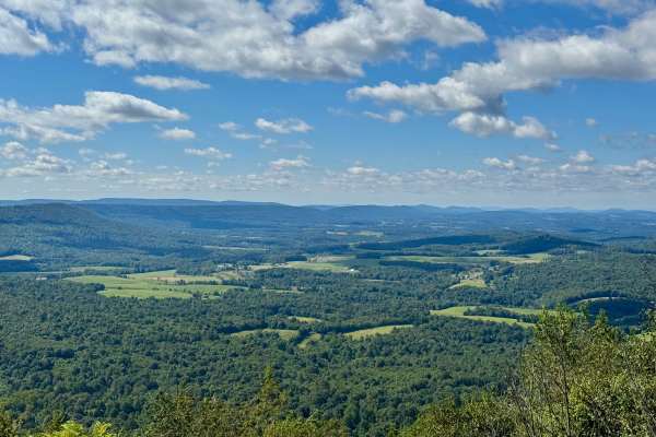
Fisher Road
This dirt road provides access to one of the many excellent vistas in Buchanan State Forest. This one also serves as a hang gliding launch site and faces south, making it a good choice for viewing sunrise or sunset. The road winds along the top of Harbor Mountain. It ends at a gate, but Cove Road ne...
Learn more about Fisher Road
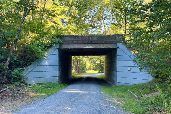
Oregon Road
This is an easy gravel road in Buchanan State Forest that provides access to the three primary points of interest in Buchanan. This is a must drive trail because of what it provides access to. The trail was originally established for the historic CCC camp on this road. The ruins of that camp still e...
Learn more about Oregon Road
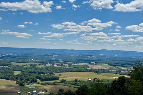
Summit Road
Summit Road in Buchanan State Forest is known for the Summit Road Vista, a highly regarded scenic overlook with far-reaching views and strong ties to the region's CCC-driven road development and forest conservation legacy. The vista is considered one of the best fall foliage overlooks in Buchanan St...
Learn more about Summit Road
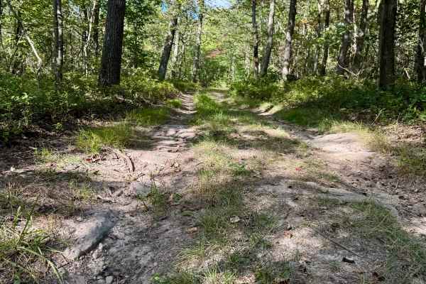
King Trail
King Trail is a "drivable trail" in Pennsylvania, which means a high clearance 4x4 vehicle is recommended and maintenance is minimal. This is a scenic trail that winds along the ridge of Sideling Hill between US 30 and I-76. There are lots of whoops along this narrow and rocky route that make it cha...
Learn more about King Trail
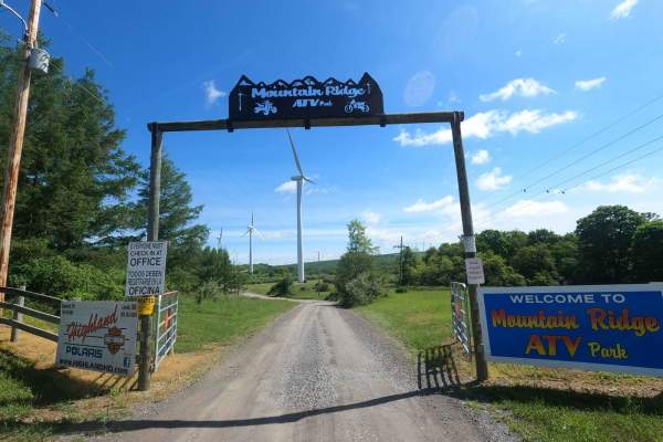
Mountain Ridge ATV Park Singletrack D
Singletrack D is one of the easier OHM-only trails at Mountain Ridge ATV Park. Outside of the normal OHM loops, this one is often missed because it is out of the way. You will start on the Main North-South Trail and continue until you hit Mountain Laurel ATV Trail. There are no major attractions alo...
Learn more about Mountain Ridge ATV Park Singletrack D
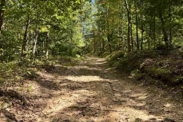
West Pittman Road
A fun "drivable trail" for high clearance 4x4 vehicles in the southern part of the Sideling Hill Tract of Buchanan State Forest. Not technical unless weather is a factor, but loose rock and about 750 feet of elevation change make for an enjoyable diversion. Best enjoyed along with Betsy Road and som...
Learn more about West Pittman Road
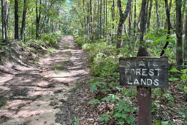
Betsy Road
A fun "drivable trail" for high clearance 4x4 vehicles in the southern part of the Sideling Hill Tract of Buchanan State Forest. Not technical unless weather is a factor, but loose rock and about 750 feet of elevation change make for an enjoyable diversion. Best enjoyed along with West Pittman Road ...
Learn more about Betsy Road
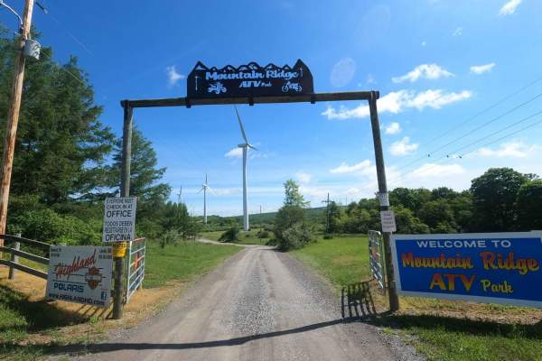
Mountain Ridge ATV Park Singletrack CD
Singletrack C is an almost 7-mile loop broken into 7 sections of varying difficulty. Each section starts and ends at an easily accessible location off of one of the ATV paths, so if you had enough or want to only hit a specific section, you can. Singletrack CD is the 4th part of this loop. You will ...
Learn more about Mountain Ridge ATV Park Singletrack CD
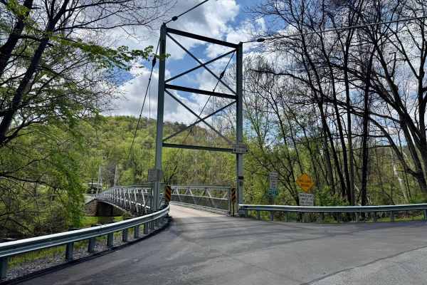
Corbin Road
Corbin Road is a minimally maintained township road that crosses the Raystown Branch of the Juniata River on a single-lane suspension bridge and ascends the Terrace Mountain to a high point of about 1100 feet above its start at the bridge, eventually reaching over 1600 feet in elevation. There is a ...
Learn more about Corbin Road
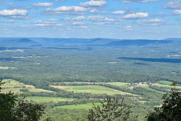
Bark Road
This route features one of the more beautiful and nicely landscaped vistas in all of the Pennsylvania state forests. It's a nice scenic drive that runs along the southern part of Sideling Hill. It's the primary a north/south unpaved route through this forest tract south of US 30. It's an easy and en...
Learn more about Bark Road
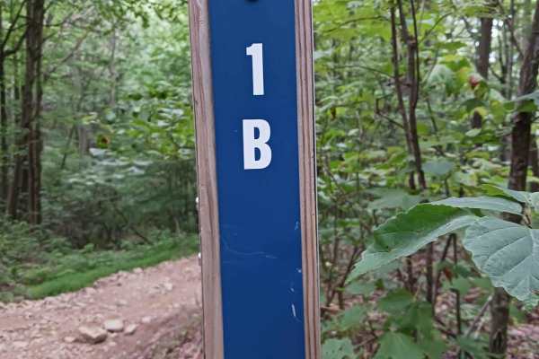
Trail 1B - Rock Run Recreation Area
Trail 1B- A trail of Rock Run Recreation Area. Trail 1B is an original trail to the park. It should be able to be traversed by anyone on a motorcycle, ATV, or SxS. Trail 1B is just over 1/10th of a mile in length and is part of the larger network at the park. This trail is mostly dirt with the poten...
Learn more about Trail 1B - Rock Run Recreation Area
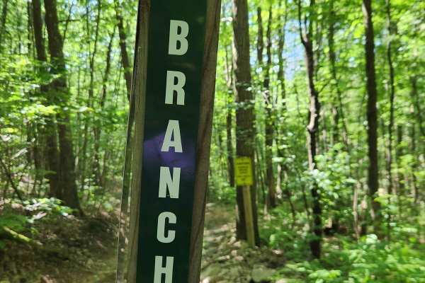
Lower Branch - Rock Run Recreation Area
Lower Branch - A trail of the Rock Run Recreation Area. Lower Branch is an original trail to the park. It is an easier trail and should be able to be traversed by anyone on a bike, ATV, or SxS. To get to Lower Branch, you will need to traverse some more difficult trails, though at one end. This trai...
Learn more about Lower Branch - Rock Run Recreation Area
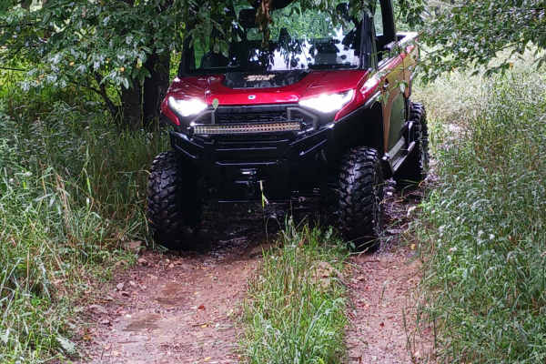
Trail 3E - Rock Run Recreation Area
Trail 3E- A trail of Rock Run Recreation Area. Trail 3E is an original trail to the park. It should be able to be traversed by anyone on a motorcycle, ATV, or SxS. Trail 3E is just over 1/10th of a mile in length. It serves as a connector trail from Trail 3A to Trail 3D. Trail 3E has some minor ele...
Learn more about Trail 3E - Rock Run Recreation Area
Beginner ATV trails near Claysburg, Pennsylvania
Explore ATV-friendly trails near you. These trails are accessible for vehicles up to 50 inches wide, perfect for ATVs and smaller off-road machines.
Trail 1B - Rock Run Recreation Area
Trail 1B- A trail of Rock Run Recreation Area. Trail 1B is an original trail to the park. It should be able to be traversed by anyone on a motorcycle, ATV, or SxS. Trail 1B is just over 1/10th of a mile in length and is part of the larger network at the park. This trail is mostly dirt with the poten...
Learn more about Trail 1B - Rock Run Recreation Area
Lower Branch - Rock Run Recreation Area
Lower Branch - A trail of the Rock Run Recreation Area. Lower Branch is an original trail to the park. It is an easier trail and should be able to be traversed by anyone on a bike, ATV, or SxS. To get to Lower Branch, you will need to traverse some more difficult trails, though at one end. This trai...
Learn more about Lower Branch - Rock Run Recreation Area
Trail 3E - Rock Run Recreation Area
Trail 3E- A trail of Rock Run Recreation Area. Trail 3E is an original trail to the park. It should be able to be traversed by anyone on a motorcycle, ATV, or SxS. Trail 3E is just over 1/10th of a mile in length. It serves as a connector trail from Trail 3A to Trail 3D. Trail 3E has some minor ele...
Learn more about Trail 3E - Rock Run Recreation Area
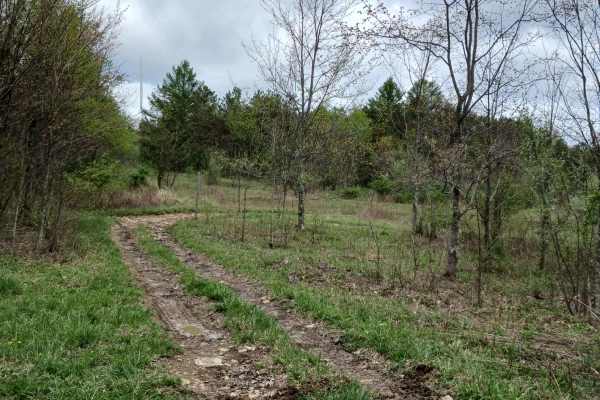
Short 3 - Rock Run Recreation Area
Short 3 - A trail of Rock Run Recreation Area. Short 3 should be able to be traversed by anyone on a motorcycle, ATV, or SxS. It is only a hundred feet in length and is part of the larger network at the park. It serves as a shortcut between Trail 3 and 3A. This trail is mostly dirt with the potenti...
Learn more about Short 3 - Rock Run Recreation Area
Beginner UTV/side-by-side trails near Claysburg, Pennsylvania
Find UTV and side-by-side trails near you. These trails accommodate vehicles up to 60 inches wide, ideal for UTVs, side-by-sides, and wider off-road rigs.
Trail 1B - Rock Run Recreation Area
Trail 1B- A trail of Rock Run Recreation Area. Trail 1B is an original trail to the park. It should be able to be traversed by anyone on a motorcycle, ATV, or SxS. Trail 1B is just over 1/10th of a mile in length and is part of the larger network at the park. This trail is mostly dirt with the poten...
Learn more about Trail 1B - Rock Run Recreation Area
Lower Branch - Rock Run Recreation Area
Lower Branch - A trail of the Rock Run Recreation Area. Lower Branch is an original trail to the park. It is an easier trail and should be able to be traversed by anyone on a bike, ATV, or SxS. To get to Lower Branch, you will need to traverse some more difficult trails, though at one end. This trai...
Learn more about Lower Branch - Rock Run Recreation Area
Trail 3E - Rock Run Recreation Area
Trail 3E- A trail of Rock Run Recreation Area. Trail 3E is an original trail to the park. It should be able to be traversed by anyone on a motorcycle, ATV, or SxS. Trail 3E is just over 1/10th of a mile in length. It serves as a connector trail from Trail 3A to Trail 3D. Trail 3E has some minor ele...
Learn more about Trail 3E - Rock Run Recreation Area
Short 3 - Rock Run Recreation Area
Short 3 - A trail of Rock Run Recreation Area. Short 3 should be able to be traversed by anyone on a motorcycle, ATV, or SxS. It is only a hundred feet in length and is part of the larger network at the park. It serves as a shortcut between Trail 3 and 3A. This trail is mostly dirt with the potenti...
Learn more about Short 3 - Rock Run Recreation Area
The onX Offroad Difference
onX Offroad combines trail photos, descriptions, difficulty ratings, width restrictions, seasonality, and more in a user-friendly interface. Available on all devices, with offline access and full compatibility with CarPlay and Android Auto. Discover what you're missing today!
Open Trail Map